Lasaea: An Ancient Port City on Crete
Site at a Glance
- Popularity
- Medium
- Country
- Greece
- Primary era
- Classical
- Eras represented
- Bronze Age, Classical
- Civilizations
- Ancient Greek, Minoan, Roman
- Site type
- City
On this page19 sections
History
Lasaea was an ancient port city on Crete’s southern coast in Greece, near modern Chrysostomos. Its earliest urban remains date to either the Classical period, the fifth and fourth centuries BCE, or the later Hellenistic period. The city served Gortyn, Crete’s capital during Roman rule, and appears to have prospered despite remaining small and lacking major regional importance. Early Minoan settlement traces and two cemeteries with circular chamber tombs lie in the surrounding area.
Classical and Hellenistic Lasaea
Lasaea’s political status is uncertain. A list from Delphi, dated to 230–210 BCE, names a theorodokos, a city-appointed host for visitors attending shared Greek athletic festivals. The appointment may suggest that Lasaea was a polis, or city-state, but does not establish that it was politically independent. By the end of the third century BCE, the city may instead have depended on Gortyn.
An inscription from a nearby sanctuary, dating to the late second century BCE, names Zenas, son of Apellonios, who also appears in an inscription at Gortyn. This connection points to close ties between the two places. Lasaea may also have held an important sanctuary of Asclepius, the Greek god associated with healing, comparable to the sanctuary at nearby Lebena.
The city’s name appears in several forms, including Lasea and Lassea; Alasa and Alassa occur in written and coin evidence, while the Latin Vulgate, a translation of the Bible, uses Thalassa. Lasaea may be the Lisia placed 16 Roman miles, an ancient unit of distance, east of Gortyn on the Peutinger Table, a Roman road map preserved in a medieval copy. It may also be the harbor called Halas in the ancient sailing guide Stadiasmus Maris Magni, which places it 50 stadia, an ancient Greek unit of distance, from Lebena and 80 from Matala.
Roman period and Fair Havens
Lasaea remained occupied and its harbor continued in use into the late Roman period, perhaps as late as the fifth century CE. Occupation then ended. The city’s Hellenistic temple appears to have fallen out of use during Roman times.
Acts of the Apostles recounts that a ship carrying Paul of Tarsus as a prisoner to Rome sheltered at a harbor called Fair Havens during a spell of adverse winds. Paul urged the crew to spend the winter there, but the captain and the centurion in charge of him chose to sail on. The voyage ended in a shipwreck on Malta. Lasaea is one proposed location for Paul’s landing, though Loutro and Phoinikas have also been suggested.
Later accounts and investigation
In a letter dated 11 October 1586, the Italian physician and antiquarian Onorio Belli described Lasaea as a ruined city that still retained its name. In the nineteenth century, the offshore islet of Trafos sheltered Cretan rebels resisting Ottoman rule. British naval commander Thomas Spratt mistook them for pirates and sent a vessel against them. The rebels resisted, and both sides suffered substantial damage. Spratt later identified the ruins as ancient Lasaea. A field survey took place in September 1971, and the city has not been fully excavated.
Remains
Urban layout and buildings
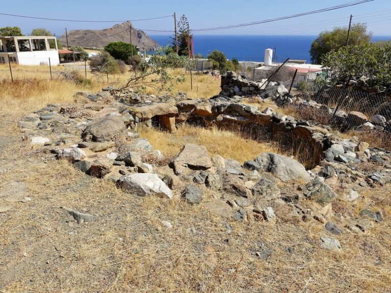
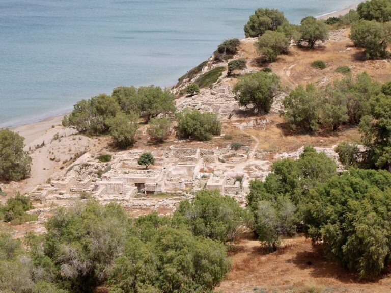
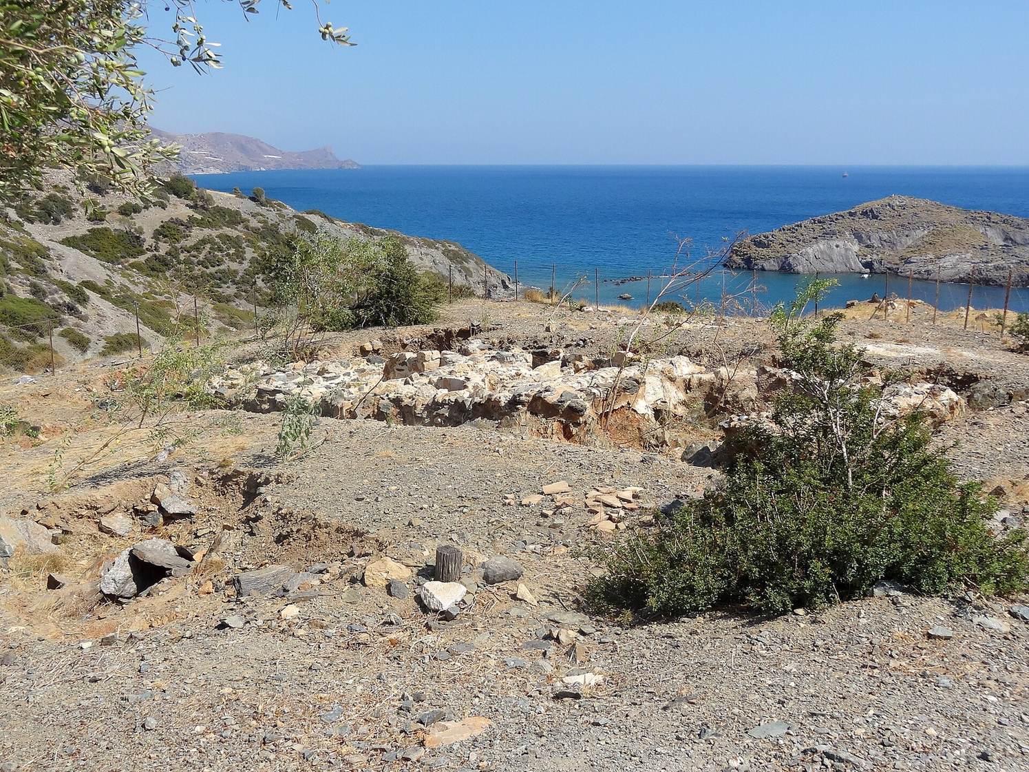
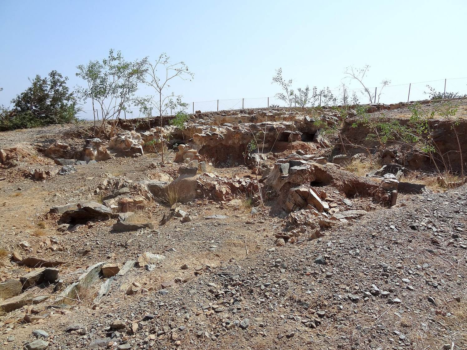
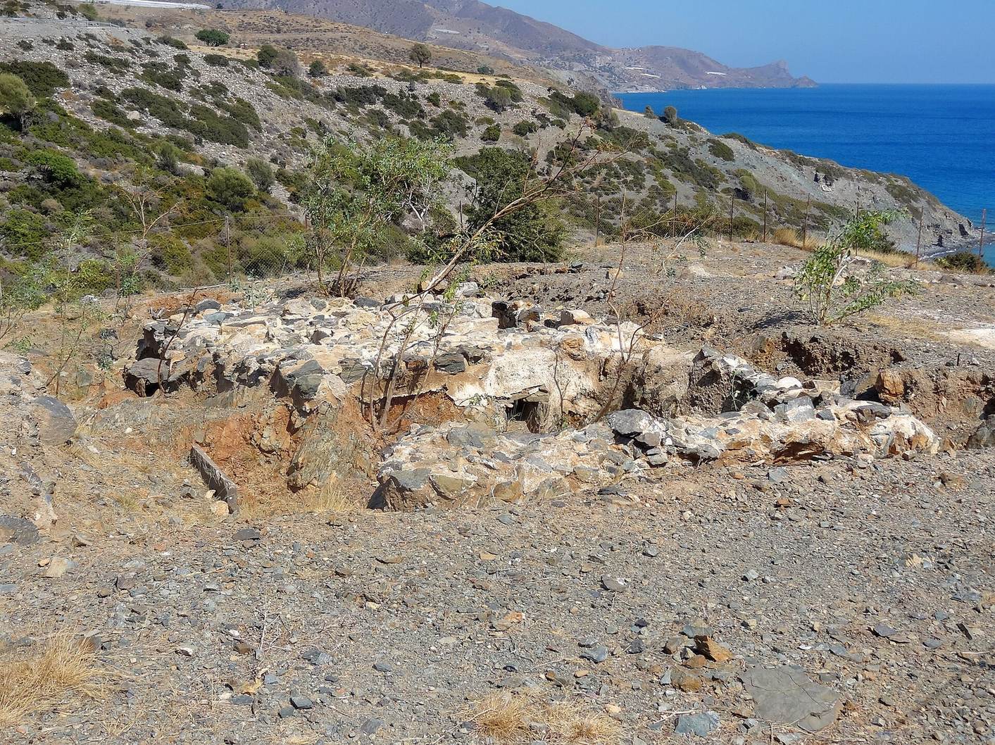
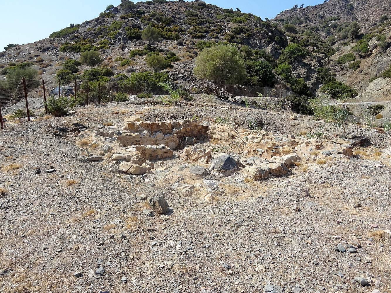
The ruins occupy the shore and slopes of a low hill that forms a small peninsula between two bays with beaches. Trafos, also called Palaios Molos, lies offshore. The earliest urban area appears to have occupied the hill’s slopes and flat summit behind the peninsula. Later buildings spread across the peninsula and the steep slopes above the western bay, with further construction to the east. Pottery fragments and extensive wall remains built from red, green, white, and brown stone blocks mark these areas.
Summit building
At the seaward edge of the hilltop, a building’s foundations consist entirely of white blocks. The structure stands above the rest of the site.
Harbor-side buildings
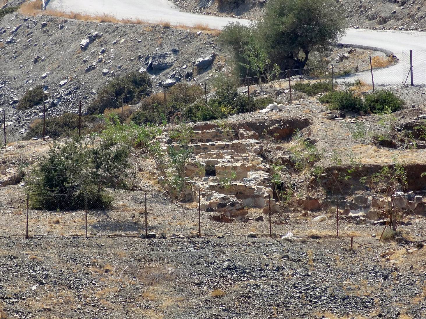
At least five large buildings once stood beside the harbor. Sections of their walls still reach three to four metres in height. They may have served as warehouses.
Central building
A substantial building in the peninsula’s center contains an oblong room measuring 27 by 10 metres. A five-metre-wide room or passage runs along its northern side. To the south, a three-metre-wide corridor continues east and possibly west. At both ends, an altar or statue base is set against a courtyard wall. Across the corridor are apartments with nearly square rooms. The complex appears to have served a public purpose, though its exact function is unknown.
Courtyard building
A separate building with a courtyard is also among the city’s remains.
Hellenistic temple
Terraces southwest of the central building create a level platform for a Hellenistic temple. Its staircase is ten metres wide and has six steps between substantial side walls. Two square altar bases stand about three metres from the top, one on each side of the entrance to the main chamber. Two walls of that chamber survive; it measured approximately five by eight metres. Pottery from the temple area is almost entirely Hellenistic.
Christian church
Near the peninsula’s southern end are the remains of a church. A ravine has eroded away one corner. The church had a main interior hall, or nave, about eight metres wide, with two narrow side passages. An eight-metre-wide rounded end, or apse, lay at its north end. A narrow entrance vestibule, or narthex, may also have been part of the building.
Harbor and water supply
Harbor structures
A substantial harbor structure, or mole, may have been built in Roman times to connect the peninsula with Trafos. It helped shelter one bay or the other, depending on wind direction. The harbor also retains remains of wave barriers from Minoan and Roman periods. Sea level is estimated to have risen by about one metre since Roman times.
Aqueduct and cistern
An aqueduct crossed the eastern slopes from a spring about one kilometre away. Around 600 metres of it can still be traced. It apparently ended at the city’s northeastern edge, where it supplied a large cistern with plastered walls. Other surviving remains include vaulted structures.
Cemeteries and finds
Late Classical and Hellenistic graves
The cemeteries lay west of the urban center. Late Classical and Hellenistic burials include graves cut into rock and graves lined with stone slabs on a small peninsula. A Hellenistic section south of the modern coastal road contains about a dozen heavily plundered graves, mostly pits lined with slabs.
Roman tombs
Farther west are Roman tombs with barrel-shaped vaulted roofs. Chamber tombs occur both south and north of the road, with more to the north. These tombs have also been heavily plundered.
Stelae, statues, and dedications
Five grave markers from the city or its immediate surroundings include three from the Classical or Hellenistic periods and two dating to the late fifth century BCE. They are now in the archaeological museum in Heraklion. Two marble statue fragments were found at the temple in 1971. A stone base from the city bears a dedication to Isis, an Egyptian goddess worshipped across the ancient Mediterranean world.