Via Nova: The Roman Road Linking Braga and Astorga
Site at a Glance
- Popularity
- Medium
- Country
- Portugal
- Primary era
- Classical
- Eras represented
- Classical
- Civilizations
- Roman
- Site type
- Infrastructure
- Remains
- Road
On this page9 sections
History
Construction and military use
Via Nova, also known as the Geira, was a Roman road linking Bracara Augusta (modern Braga, Portugal) with Asturica Augusta (modern Astorga, Spain), crossing the mountains at Portela do Homem near Lobios. It opened around AD 80, during the period of Vespasian and his son Titus. Its construction is attributed to Gaius Calpetanus Rantius Quirinalis Valerius Festus, governor of Hispania Citerior, a Roman province. The route covered about 320 km and initially served military needs.
Via Nova offered an alternative to the earlier Via XVII between the same cities. That road followed a longer course through Aquae Flaviae, modern Chaves, while Via Nova crossed the mountains at Portela do Homem. The new route improved army movement and regional communications, supported territorial reorganization, and helped move goods, including gold from the Homem Valley and the Las Médulas mines. It also formed part of a broader road and administrative network associated with Augustus, Rome’s first emperor, whose named urban centers included Bracara Augusta, Luco Augusto (modern Lugo), and Asturica Augusta.
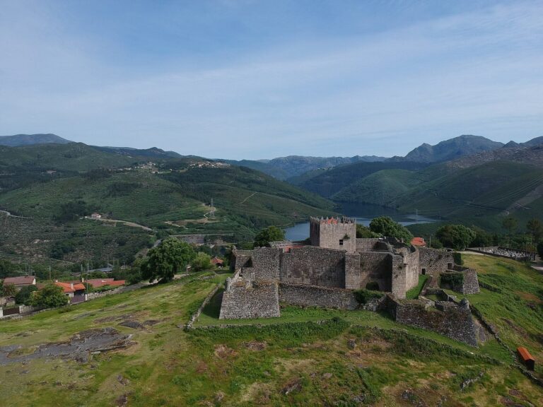
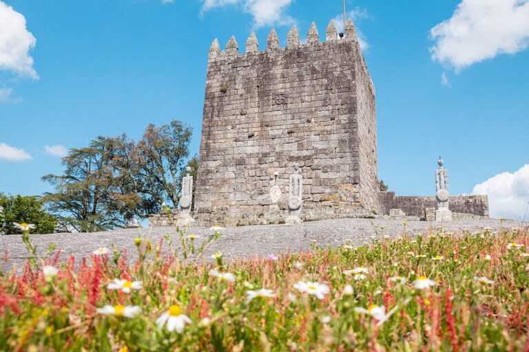
One proposed explanation links the road’s construction to Braga’s recent elevation to municipal status. Under this hypothesis, the city sought a visual signalling connection to Rome, with the road serving as a backup in fog. The proposal is associated with remains on Castelo hill at Caldelas interpreted as a Roman signalling tower, but the road’s purpose in this connection remains uncertain.
Regional connections and route records
From the second century, Via Nova became an important route through inland Gallaecia, the Roman region in the northwest of the Iberian Peninsula. It connected Bracara Augusta with Forum Gigurrorum, Forum Limicorum, and Forum Bibalorum, local markets and distribution centers for imported goods.
The road was restored during the rule of Emperor Maximinus Thrax and his son Gaius Julius Verus Maximus. A detailed account of its course appears in the third-century Antonine Itinerary, a Roman register of roads and their stages. The register lists eleven waystations along Via Nova.
Protection
In Portugal, the stretch from mile XIV at Lugar de Santa Cruz, Souto, to mile XXXIV at Albergaria has held National Monument status since 2013. A National Monument is a Portuguese protected-heritage designation. The Geira milestone group at Balança and the cross at São João do Campo received that status in 1910.
Remains
The surviving route forms a diagonal corridor marked by stretches of paved roadway, wheel ruts, bridge remains, milestones, quarries, and small-settlement traces. In Terras de Bouro, the road’s alignment and archaeological remains are particularly well preserved.
Alignment and mountain crossing
Beginning at Largo de São Francisco in Braga, the route followed Rua dos Chãos and Rua de São Vicente toward the Cávado River, crossing it at Lugar da Ponte in Lago. It passed Barreiros, Carrazedo, and Ferreiros, then climbed through Caires, Paredes Secas, and Seramil. At Santa Cruz Souto it entered Terras de Bouro and the Homem River valley, continuing through Souto, Balança, Chorense, Vilar, Chamoim, Covide, and Campo do Gerês. The road reached Portela do Homem at an elevation of 750 m, between Serra Amarela and Serra do Gerês, before continuing into Spain.
Road surfaces, bridges, and quarries
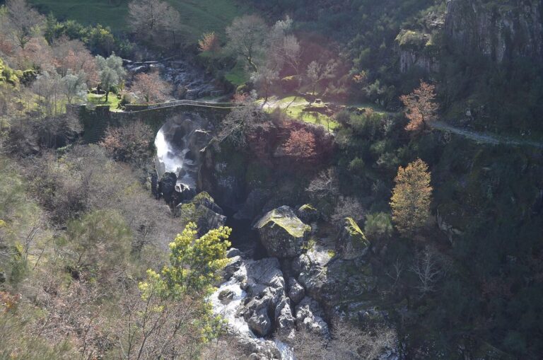
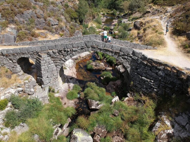
Surviving paved sections retain wheel ruts. Roman bridge remains occur over Ribeiro da Maceira, Ribeira do Forno, and Ribeiro de Monção, as well as at Ponte de São Miguel over the Homem River. Quarries along the route supplied stone for milestones and bridge blocks.
Milestones and the wayside cross
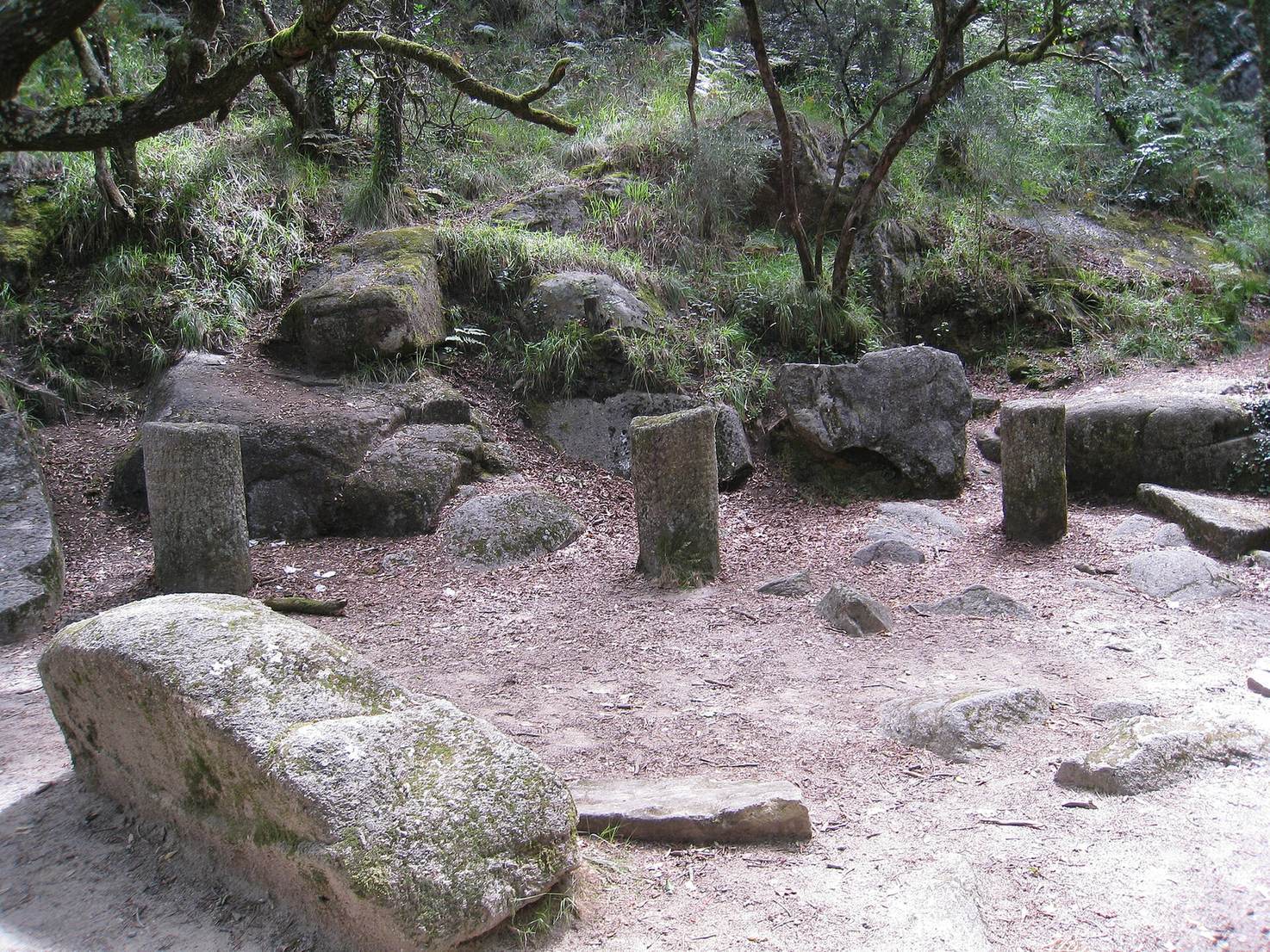
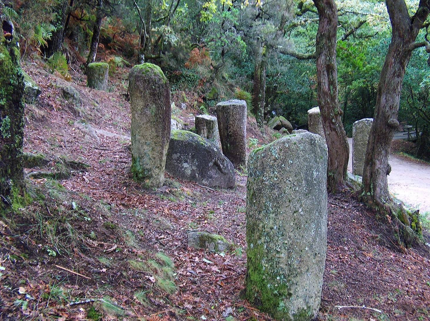
Via Nova preserves 281 Roman milestones, stone markers indicating distances, the largest surviving collection in the Iberian Peninsula. More than 150 stand in Terras de Bouro, where they marked distances and gave the distance to the nearest city. The Geira milestones known as the Capela series are at Balança. At a local road junction in São João do Campo, a wayside cross incorporates a milestone erected during Emperor Decius’s rule, from AD 249 to 251. It marked mile 27 of Via Nova.
Settlement remains
Archaeological traces of small settlements have been found along the route. They may represent indigenous communities or groups that supported construction of the road.