Tomornitsa: An Ancient and Medieval Fortress in Albania

Site at a Glance
- Rating
- 4.9
- Popularity
- Very Low
- Country
- Albania
- Primary era
- Medieval
- Eras represented
- Classical, Medieval
- Civilizations
- Byzantine, First Bulgarian Empire, Roman
- Site type
- Military
- Remains
- Castle
On this page10 sections
History
Tomornitsa, also known as Tomori Fortress, is an ancient and medieval fortress in Albania, near Berat, with origins in the Roman period. Occupied from ancient times, it stood on Mount Tomorr in a position that controlled the Via Egnatia, the major Roman road linking the Adriatic region with the eastern Roman and Byzantine territories, and the route from the coast toward Constantinople.
Roman and Byzantine-era origins
The settlement at Tomornitsa predates the Byzantine era. Its strategic position made it part of a regional defensive system consisting of Tomornitsa and eight smaller fortifications. Together with Berat Castle, this network is described as comprising ten fortifications and helped control movement through the surrounding territory.
Bulgarian resistance and Byzantine conquest
Tomornitsa became associated with the lands of the First Bulgarian Empire, a medieval state that controlled much of the Balkans before Byzantine reconquest. It is described as the final stronghold of resistance before Byzantine domination and appears in accounts of the Bulgarian kingdom’s fall in 1018.
On 15 August 1018, after an unsuccessful 55-day siege, the Bulgarian voivode-duke Ibatzes was treacherously blinded by the Byzantine commander Eustathius Daphnomeles. A voivode-duke was a high-ranking military and governing official in the medieval Balkans. Ibatzes had continued resisting Emperor Basil II, the Byzantine ruler who expanded imperial control over the Balkans and was then at Devol. Tomornitsa was also the scene of important battles in 1336.
Ottoman occupation and destruction
The fortress continued in use under Ottoman rule, when it was occupied by the Turks. The Ottomans destroyed it in 1467. Its history has subsequently depended mainly on written evidence, while the surviving ruins preserve the remains of several periods.
Remains
Acropolis and defensive position
The ruins occupy a steep, rocky platform about 50 metres high on the northwestern slopes of Mount Tomorr. A narrow path provided the only access. The acropolis had an irregular trapezoidal plan with a perimeter of approximately 210 metres. Its walls were between 1 and 1.3 metres thick, and the surviving sections display different types of stonework, indicating more than one period of construction.
Central residence and water supply
Palaces and church
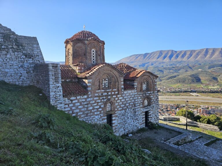
According to the Byzantine historian John Skylitzes, whose chronicle is an important narrative source for eleventh-century Byzantine history, the fortress residence included attractive palaces with gardens and recreational areas. A high castle stood at the center, and a church formed part of the complex.
Reservoir
Tomornitsa had its own water supply. A cistern, a built reservoir for collecting and storing water, held approximately 100,000 litres, and the ruins of this reservoir remain visible at the site.
Command of the surrounding fortresses
From its position above the villages of Tomori and Madh, the fortress commanded views over the fortresses around Berat. These included Mbeshtova, Peshtan, Mbolan, Vojak, Gradishta of Kereshnik, and Vokopola, placing Tomornitsa within a wider landscape of fortified sites.