Todhübel: A 13th-Century Fortified Manor Site in Germany
Site at a Glance
- Popularity
- Very Low
- Country
- Germany
- Primary era
- Medieval
- Eras represented
- Medieval
- Civilizations
- Holy Roman Empire, Margraviate of Meissen
- Site type
- Military
- Remains
- Castle
On this page6 sections
History
Todhübel in Germany was the site of a 13th-century fortified manor built as a motte castle, a defended residence on or around a raised mound. The manor’s historical affiliation is unknown.
The site received archaeological monument protection on 22 April 1941, renewed on 20 May 1960. It was listed under the variant name Todhügel as a defensive installation. Todhübel lies within the 115-hectare Lößnitzgrund and Lößnitz Slopes Natura 2000 habitat area, part of the European Union network of areas protected for habitats and species. The site is in sub-area 2, Lößnitzgrund–East, which lies almost entirely within the Lößnitz Landscape Protection Area.
Remains
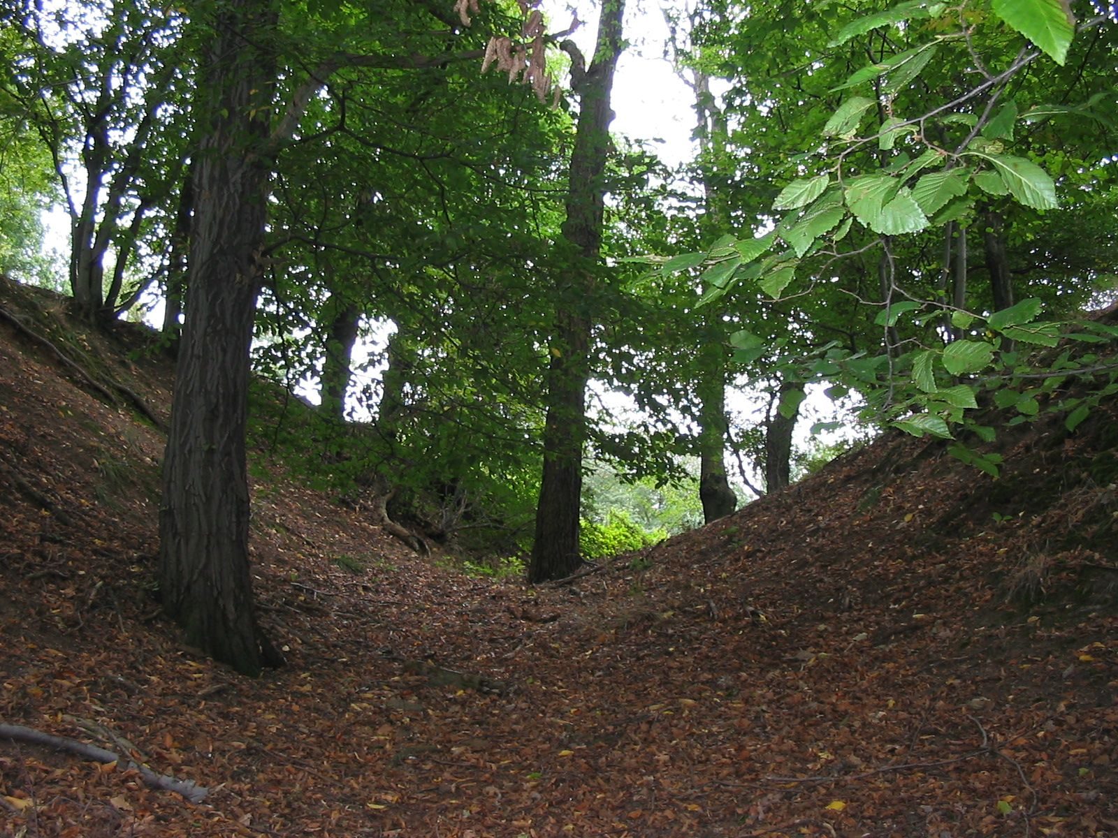
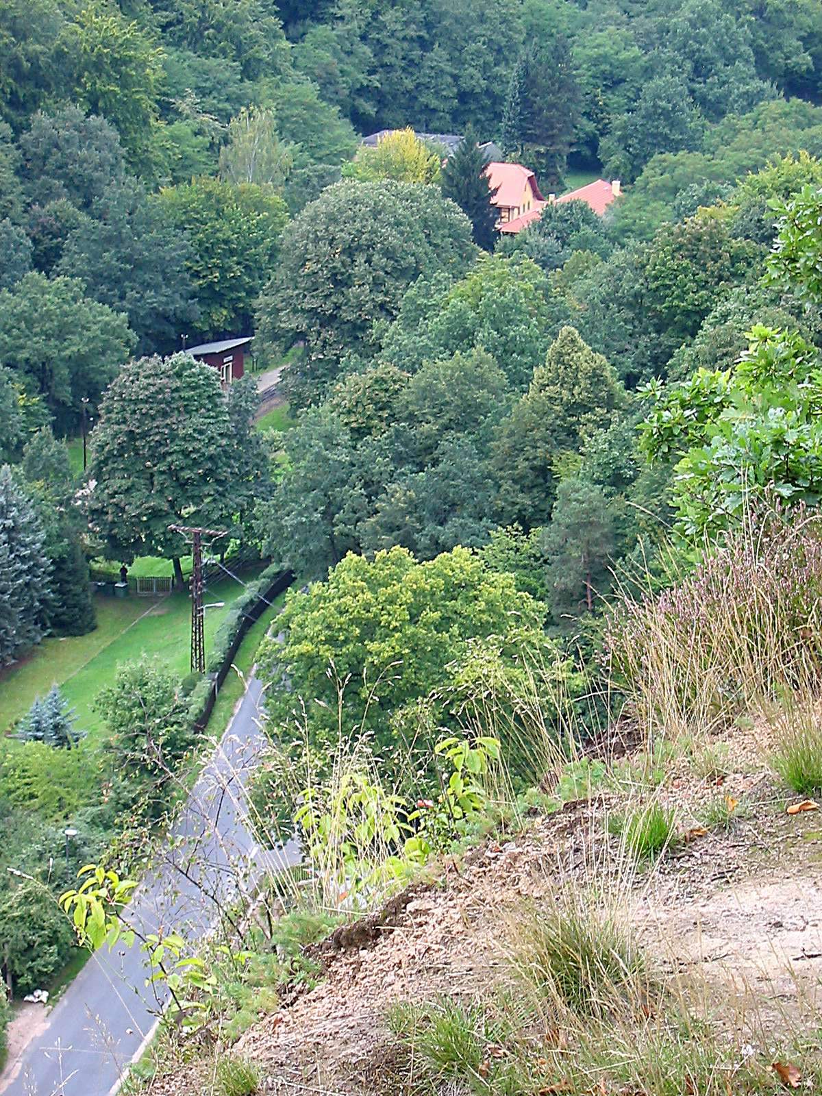
The remains occupy a steep-sided spur on the eastern edge of the Lößnitzgrund, south of a hollow leading from the valley toward the Wahnsdorf plateau. The summit rises to 222.5 metres above Germany’s national elevation datum, while the valley below is under 150 metres. Ditches and a rampart divide the approach and summit into an outer working area and a small inner platform.
Defensive earthworks
Approach and outer ward
On the approach from Wahnsdorf, a ditch and rampart separated the site from the surrounding land. Behind the rampart lay an economic courtyard, or outer ward, the service area outside the main defended enclosure. A stone facing may have lined the rampart. If confirmed, it would be the oldest stone structure in present-day Radebeul, contemporary with the earliest masonry incorporated into the tower foundation of the Friedenskirche, a church in Radebeul.
Inner platform
Nearer the Lößnitzgrund, a deeper, steeper neck ditch cut across the spur, separating a plateau about 15 metres in diameter. This defensive ditch crossed the narrow landward approach. The plateau was probably enclosed by a palisade, a fence of upright stakes, and likely held a timber-framed tower used for residence and defense.
Landscape and geology
Three later quarries lie north, west-northwest, and south of Todhübel. The southern quarry is called Hoher Stein. The local medium-grained syenite, an igneous rock, consists mainly of potassium feldspar, including orthoclase and microcline, plagioclase feldspar, and hornblende. The feldspar and hornblende crystals form a parallel pattern, with irregular, dark, fine-grained inclusions of hornblende and biotite. Woodland is composed mainly of beech, sessile oak, pedunculate oak, and rowan. Shrubby areas include upright clematis, corymb-flowered tansy, spreading elecampane, Solomon’s seal, and wild basil. Open semi-dry grassland supports sub-Mediterranean plants, alpine wormwood, and continental sand-steppe species such as yellow scabious, mountain garlic, and steppe timothy.