Senoji Įpiltis Hillfort: A Curonian Stronghold in Lithuania
Site at a Glance
- Rating
- 4.9
- Popularity
- Very Low
- Country
- Lithuania
- Primary era
- Medieval
- Eras represented
- Classical, Medieval
- Civilizations
- Unclassified
- Site type
- Military
- Remains
- Fort
On this page10 sections
History
Senoji Įpiltis hillfort is a Curonian stronghold in Lithuania, developed from the early first millennium to the mid-13th century on a naturally defensible spur beside the Impiltis Stream. The Curonians were a western Baltic people who occupied parts of the eastern Baltic during the Iron Age and Middle Ages. Used as a fortress from the 11th century, the hillfort became the principal stronghold of Duvzare, a Curonian territorial land or political region.
Early settlement and fortification
More intensive settlement and economic activity began around AD 1050, during the Medieval Warm Period, a phase of relatively warmer climate in parts of the Northern Hemisphere between approximately the 10th and 13th centuries. The site’s defensive works were strengthened through several building phases, creating a fortified centre above the surrounding settlement.
Impiltis in the medieval conflicts
The locality was first mentioned on 5 April 1253 as Impiltis, in forms including Empilten, Ampillen, and Ampilten. Bishop Heinrich of Courland’s document concerning the division of southern Courland assigned it to the Livonian Order, a Catholic military order that ruled parts of the eastern Baltic during the Middle Ages.
During the Curonian uprising of 1260, Impiltis became one of the principal rebel fortresses. In 1263 its garrison withdrew to Lithuania, after which Crusader forces captured and burned the stronghold. That same year, Curonian forces from Impiltis besieged Klaipėda Castle.
Farming, investigation, and protection
After the village of Senoji Įpiltis developed, the hillfort and its foothill settlement were incorporated into agricultural land and ploughed. The hillfort appeared in an inventory of the Palanga administrative district from the second half of the 18th century, while cultivation in the settlement continued until the end of the 20th century. The site is also associated with a cemetery and village burial ground known as the Soldiers’ Cemetery or Plague Cemetery.
The hillfort entered archaeological literature in 1899 and was included in a 1928 archaeological publication. Investigations led by General Vladas Nagevičius in 1933 and 1934 brought it broad public attention in Lithuania. In 1935, the landowners pledged to stop ploughing the hillfort, although cultivation continued in the settlement area. Romas Jarockis carried out trial investigations in 1998, and Julius Kanarskas surveyed the settlement in 2003 and 2007.
The hillfort was designated a republic-level archaeological monument in 1972. It entered the archaeological register in 1992, while the settlement was registered in 1997. Together they became a registered cultural-monument complex in 1998, received state protection in 2005, and were recognized in 2007 as a cultural-heritage object of exceptional cultural value.
Remains
Hillfort and defensive works
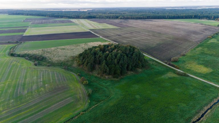
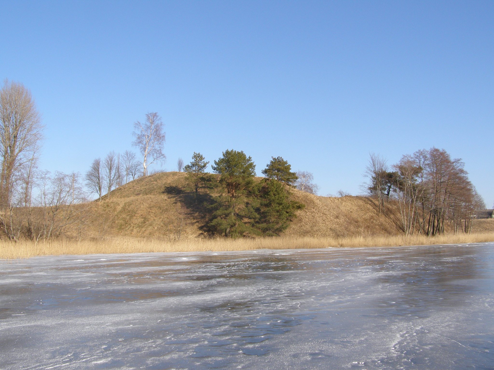
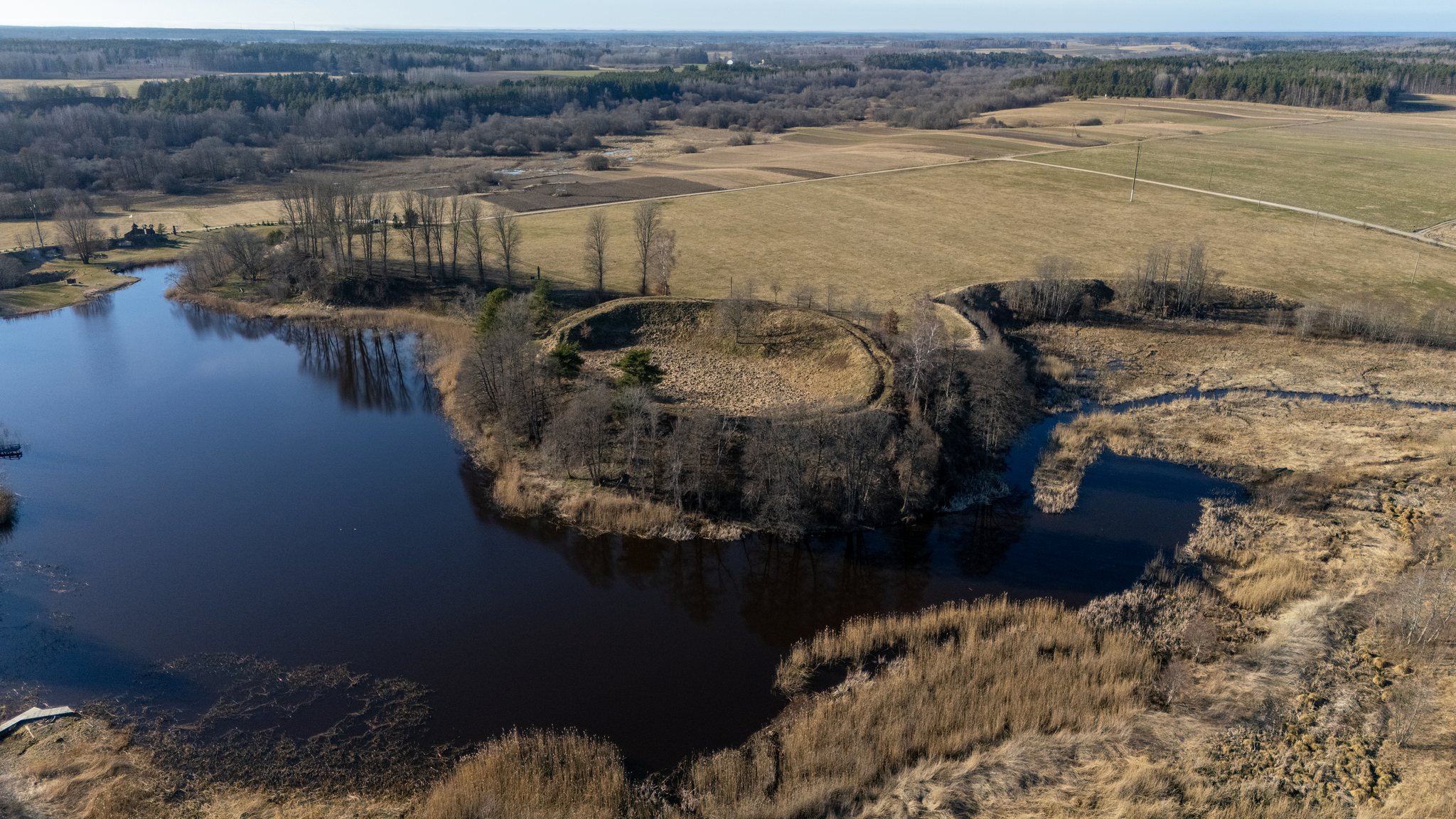
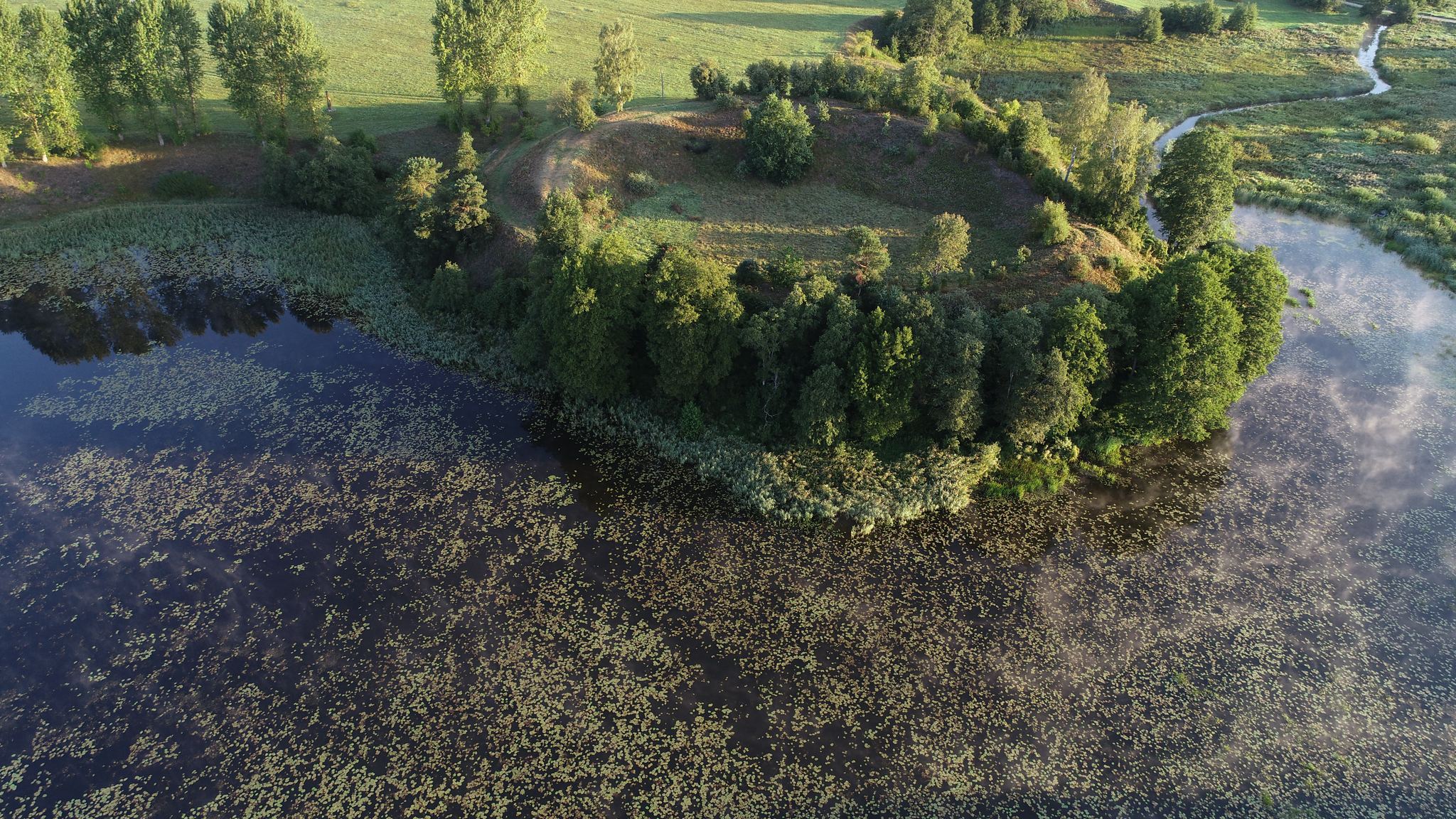
The hillfort occupies a highland spur projecting into a bend of the Impiltis Stream. The stream curves around the northeast, east, and south sides, where the slopes rise steeply by approximately 6 to 10 metres. The oval summit platform extends about 60 by 40 metres along a northeast to southwest axis and is enclosed by a rampart, an artificial defensive embankment.
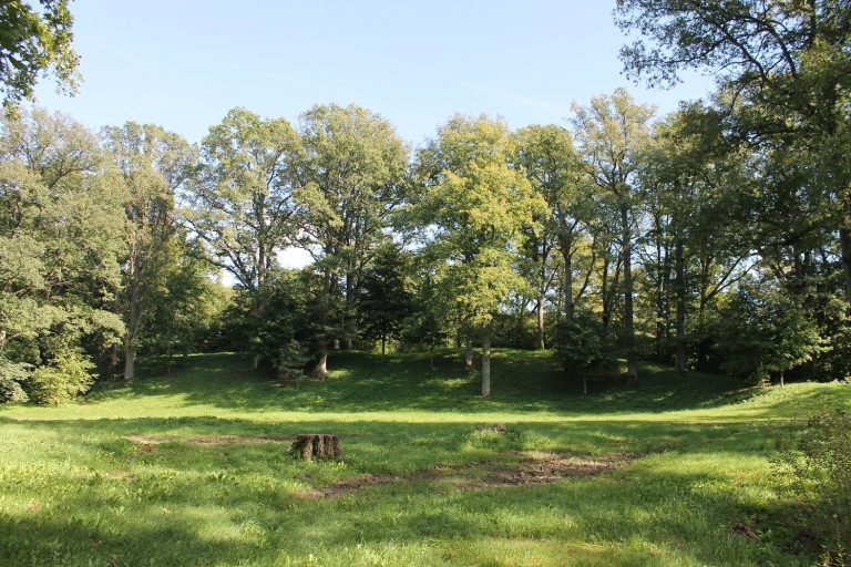
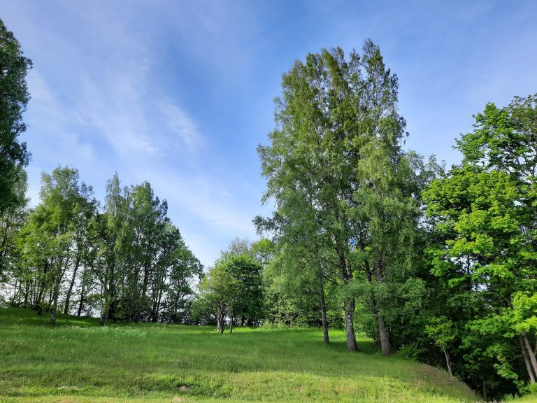
The rampart is highest on the northwest side, where the hillfort joins the highland. There it reaches approximately 8 to 10 metres in height and 36 to 40 metres in width. On the side facing the former mill pond, it is about 3 metres high and 15 metres wide. A ditch up to 3.3 metres wide and 0.6 metres deep follows the rampart crest. The western rampart contains the entrance, while an eastern exit led towards the stream. Grass covers the summit and ramparts, trees grow on the slopes, and beaver burrows have disturbed the eastern part.
Rampart construction
The 1933 and 1934 investigations examined about 1,000 square metres, including a section across the ramparts and summit. They identified eight principal stages of reinforcement. The earliest rampart consisted of large stones and measured about 1.5 metres high and 2.5 metres wide. Later builders raised it and expanded it outward with layers of clay, compacted with timber logs, and finished parts of the surface with stone paving.
Western entrance
The western entrance included an approximately 8-metre-long tunnel between the ramparts. It was about 3 metres wide and 1.8 metres high, with walls made from oak posts, a roof formed by logs 25 to 40 centimetres in diameter, and a stone-paved floor. After the gate burned, it was filled in and another gate was constructed above it.
Foothill settlement and archaeological layers
The foothill settlement extends across approximately 5 hectares north and northwest of the hillfort. It is covered by grassland, and archaeological records also identify two settlements near the ramparts. The cultural layer, the accumulated deposit formed by occupation, construction, refuse, burning, and related activity, is about 1 metre thick on the summit and about 0.4 metres thick in the foothill settlement.
Excavations recovered hand-built and wheel-thrown pottery, iron arrowheads and other iron objects, parts of a bronze pin, a silver long coin, slag, and charred grains. The 1933 and 1934 work produced approximately 65 archaeological objects, including numerous spearheads and arrowheads and various ornaments. Pottery from the settlement includes hand-built vessels dating from the beginning of the second millennium and wheel-thrown pottery from the 16th to the 18th centuries.
In 1998, investigations examined a 6-square-metre area and used 54 boreholes. Work in 2003 and 2007 examined 4 square metres of the foothill settlement and identified traces of a destroyed cultural layer.
Associated landscape features
The hillfort belongs to a wider sacred and archaeological landscape near the confluence of the Impiltis and Graistupis streams. This landscape includes an altar stone, Marija’s Hill, the associated cemetery and burial ground, and Senoji Įpiltis II hillfort, situated about 2 kilometres to the northwest.
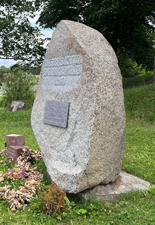
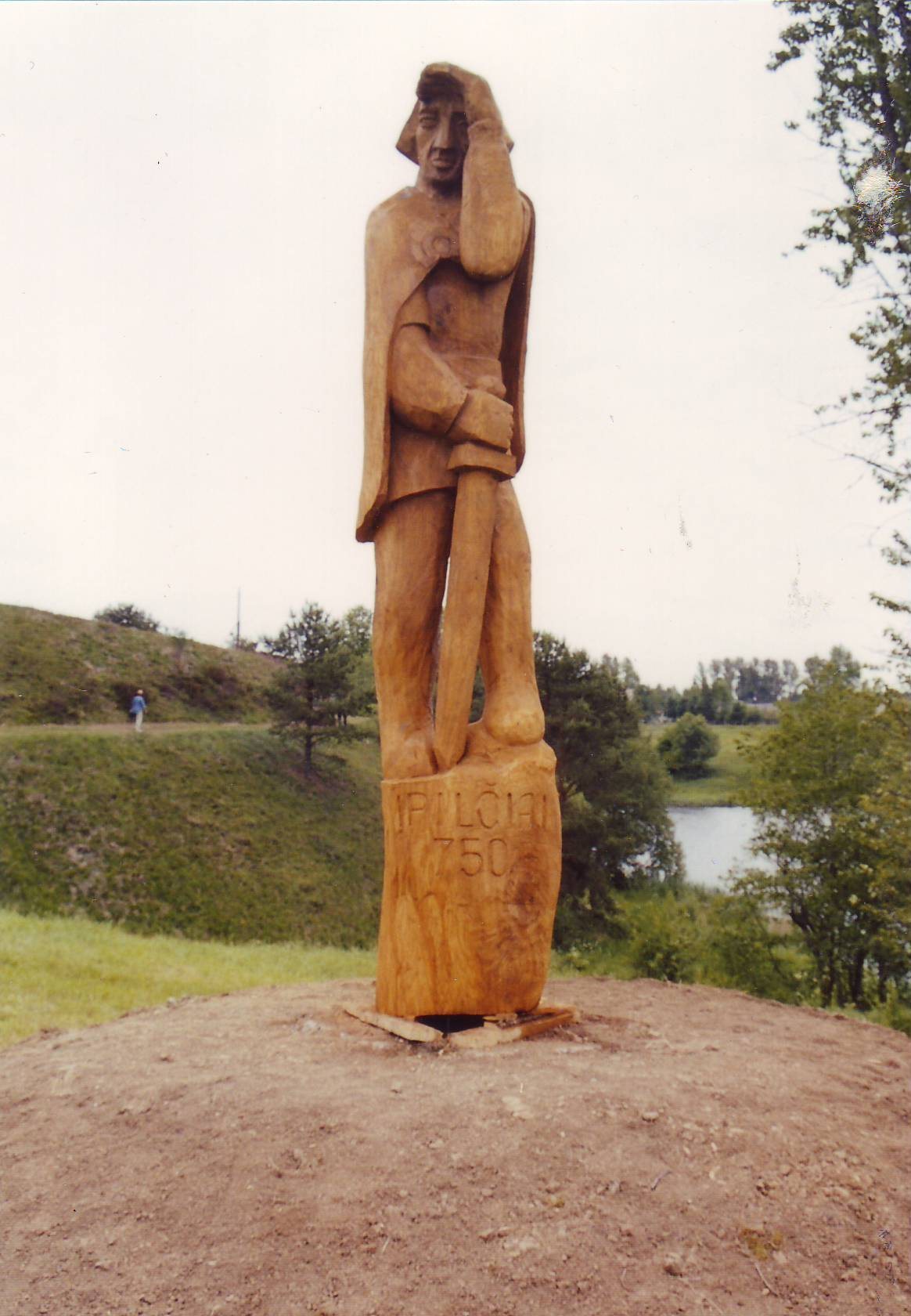
A decorative sculpture titled Kuršis stands in the southern part of the settlement beside the hillfort. Raimundas Puškorius created it in 2003 to commemorate the 750th anniversary of the first recorded mention of the name Impiltis. The western foothill contains the 2007 sculptural composition Alka, created by artist Ieva Vasauskienė and architect Alfredas Gytis Tiškus. An information board stands in the western part of the settlement.