Imbarė Hillfort: A Curonian Fortified Settlement in Lithuania
Site at a Glance
- Rating
- 4.7
- Popularity
- Low
- Country
- Lithuania
- Primary era
- Medieval
- External website
- Open
- Eras represented
- Iron Age, Classical, Medieval, Early Modern
- Civilizations
- Grand Duchy of Lithuania
- Site type
- Military
- Remains
- Fortified Town
On this page17 sections
History
Imbarė hillfort is a Curonian fortified settlement in Lithuania, near the Salantas River and its confluence with the Pilsupis. Occupied from the first millennium BC, it became a major administrative, economic, and defensive centre of the Curonian district of Ceklis between the 10th and 13th centuries. Its archaeological complex includes the hillfort, a forework, lower and upper foothill settlements, sacred places, and a cemetery within a protected area of 23.44 hectares.
Early settlement and fortification
People lived near the Salantas River at the foot of the hill as early as the Late Neolithic. During the first millennium BC, inhabitants moved onto the elevated promontory and established a fortified settlement. The hillfort was enclosed by a double wooden defensive wall by the end of that millennium. Buildings stood along the wall, and the settlement developed through successive changes in timber construction and internal organization.
During the first millennium AD, the settlement expanded beyond the hilltop. A fortified forework was established on the high ground to the north during the middle of the millennium, while foothill settlements grew around the stronghold. Sacred places and a cemetery formed part of the wider settlement landscape. The forework was strengthened during the 9th to 13th centuries, when the fortified complex reached its greatest known extent.
Curonian centre of Ceklis
From the 10th to the 13th century, Imbarė was a major Curonian hillfort and the administrative, economic, and defensive centre of Ceklis, a historical Curonian district in western Lithuania. The district ruler lived at Imbarė, which competed with Apuolė for pre-eminence throughout the land of Ceklis. The lower foothill settlement had buildings arranged along parallel streets, suggesting that the settlement possessed proto-urban characteristics in the Early Middle Ages.
Imbarė is first mentioned in written sources in 1253. The castle was probably abandoned after the Curonian uprising of 1260 to 1263, an armed revolt by the Curonians against the crusading powers that sought to control the eastern Baltic region.
Later use and archaeological protection
A manor stood on the hillfort from the 16th to the 17th century and was later moved to nearby Dvarlaukis Hill. Wooden manor buildings also occupied the forework during the 16th and 17th centuries. Their remains include stone foundations and pot-shaped stove tiles.
Investigations began with surveys by Tadas Daugirdas in 1885 and 1886 and by Juozapas Žiogas in 1898. The site was documented by the State Archaeological Commission between 1935 and 1938, when the landowner K. Vaičius was instructed to protect it. Further investigations took place from 1966 to 2007 under several archaeologists and research institutions. Excavations examined 1,641.25 square metres across the hillfort, forework, and both foothill settlements. They recovered tools, weapons, ornaments, pottery, and charred grain.
Imbarė was designated a republican-level archaeological monument in 1972. The hillfort, forework, and settlement entered the Register of Cultural Values in 2003, became a state-protected cultural value in 2005, and were declared a cultural monument in 2008. Finds from the investigations are held by the National Museum of Lithuania, the Kretinga Museum, and the Aušra Museum in Šiauliai.
Religious traditions and local legends
The site’s religious importance is represented by sacred places south of the hillfort and beyond the Pilsupis, as well as by a temple within the hillfort. A cemetery dating from the 10th to the 13th century lies south of the settlement.
Local traditions describe a Samogitian castle whose ruler’s daughter helped an imprisoned crusader escape and was cursed to remain alone in the abandoned castle. According to the story, a violinist named Puika eventually freed her, but the castle sank into the ground and left a deep hollow. Other traditions tell of a cruel manor lord swallowed by the earth, hidden treasure beneath a stone in the Salantas River, an underground passage containing a pig and fine horses, and a Swedish force that allegedly occupied the hill. One version says that two Swedish brothers divided the castle with a transverse rampart before the elder brother, his army, and his treasure were swallowed by the earth.
Remains
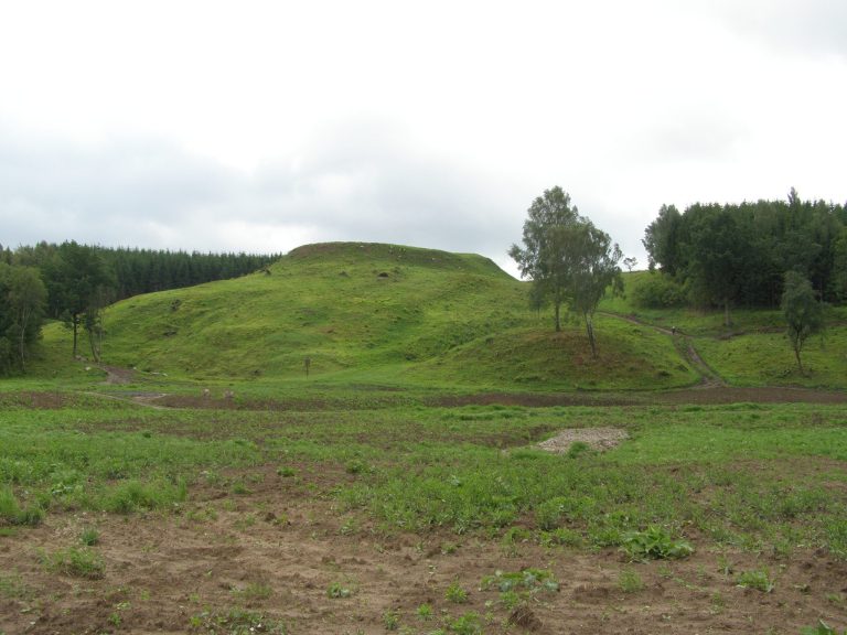
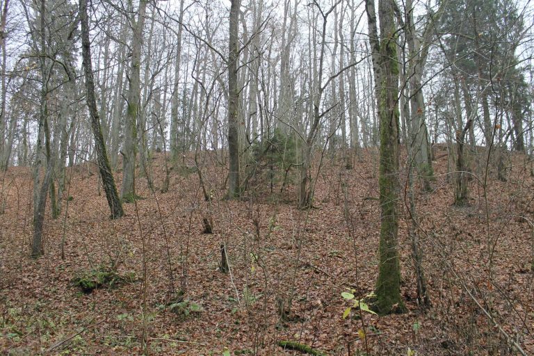
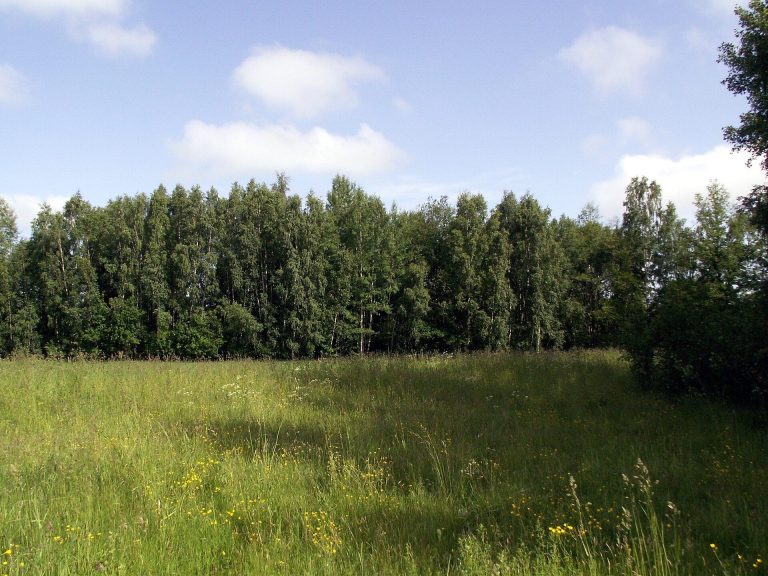
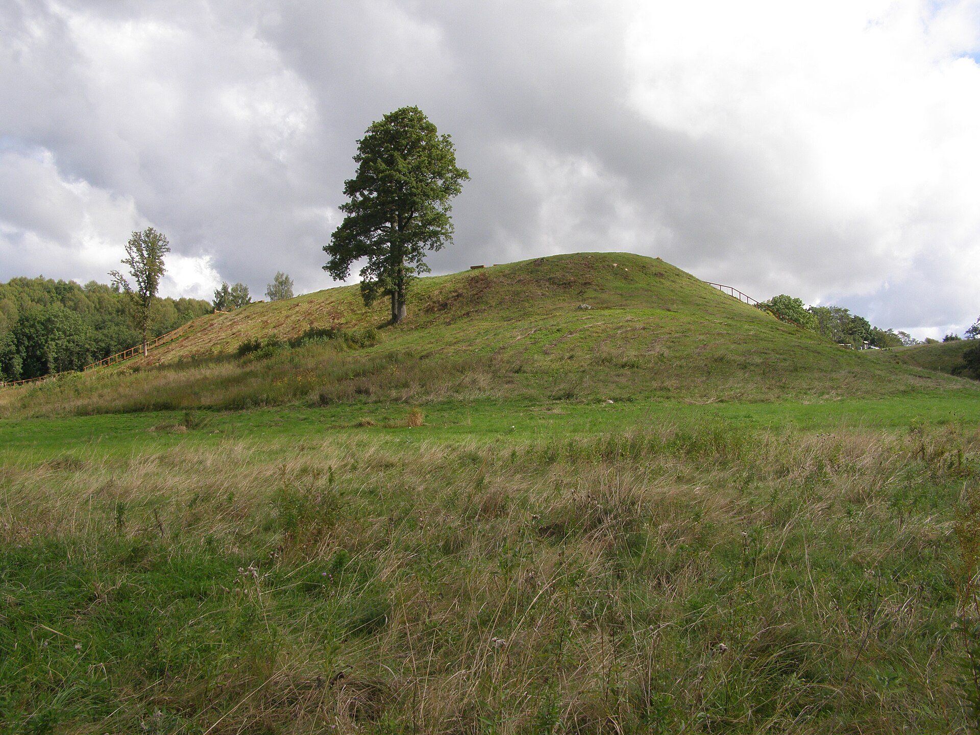
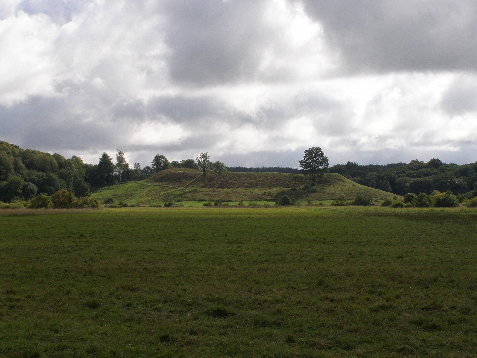
The complex lies on the western edge of Imbarė village on the left bank of the Salantas, close to the Pilsupis confluence. The hillfort occupies a promontory surrounded on three sides by a deep valley and bordered by the forework to the north. Its slopes rise as much as 20 metres. The lower settlement extends through the Salantas Valley, while the upper settlement occupies higher ground to the north-east, east, and south-east.
Hillfort and forework
Hillfort summit
The almost triangular summit measures about 20 metres from south to north and 35 metres across its northern end. A rampart encloses it, approximately 1.5 metres high and 10 metres wide. Along the side facing the higher ground, the rampart reaches 1.5 to 1.8 metres in height and 19 to 20 metres in width. A gate site lies on the southern side.
The earliest defensive wall was double and wooden, measuring about 0.5 to 0.7 metres in width by the end of the first millennium BC. Long post-built buildings stood along it, with rooms measuring about 3 by 3 metres and open hearths. At the beginning of the first millennium AD, the wall was widened to 2 metres and the buildings were divided into rooms measuring about 4 by 4 metres. Later walls used thicker vertical logs with horizontal logs filling the spaces between them. Domestic hearths occupied pointed-bottomed pits up to 0.8 metres across and 0.4 metres deep.
By the middle of the first millennium, the northern rampart had been raised to 2 metres. Stones were laid at its base, and a double wooden barrier was built on top. Small flint objects, stone hoes, clay weights, spindle whorls, and sherds of handmade pottery came from the early occupation layers. These cultural layers, archaeological deposits formed through successive occupation, building, refuse, and burning, reach 0.5 to 2.5 metres in thickness on the hillfort and forework.
Forework
The forework begins north of the summit beyond a transverse rampart. Its irregular trapezoidal platform is elongated from north to south, measuring 56 metres in length, 35 metres in width at the south, and 40 metres at the north. A surviving water body, about 6 by 8 metres, lies along its southern edge. The enclosure is surrounded by an earth-and-stone rampart that is highest on the northern side, where it reaches 4.5 metres in height and 25 metres in width.
On the north-eastern side, the outer slope descends 7.5 metres to a ditch 10 metres wide and 2 metres deep. Beyond it stood a second rampart, 7 metres wide, followed by another ditch that has been destroyed. Farther north-east was a third rampart, about 0.3 metres high and 3 metres wide, followed by a third ditch 3 metres wide and 0.3 metres deep. The forework platform is entered through a 3-metre-wide opening in the eastern slope of the rampart.
During the 9th to the 13th century, the forework rampart was raised to about 5 metres and carried a wooden defensive barrier. A long building inside the enclosure served economic and defensive purposes. It was divided into rooms up to 4 metres wide and linked by passageways to the defensive wall. Iron tools, weapons, bronze ornaments, wheel-thrown pottery, charred grain, and animal bones were found in the building’s area. A spring-fed pond occupied the southern part of the forework, while a ritual stone with a bowl-shaped depression lay near its north-western foot.
Gates and defensive structures
Three gates led into the fortified complex during the 9th to the 13th century. One stood at the eastern edge of the forework beside the end of the rampart, another on its western side, and a third in the south-eastern part of the hillfort. Each was up to 2 metres wide. The gate walls were made from vertically driven logs 30 to 40 centimetres thick and strengthened with large stones. Medium-sized stones paved the entrance floors, while the roofs were probably made from thinner logs covered with earth.
Foothill settlements
Lower settlement
The lower settlement occupied about 4 hectares in the Salantas Valley. Its buildings followed parallel streets, giving the area an organized layout. During the 9th to the 13th century, the main structures were log-built buildings about 4 by 4 metres, heated by stone stoves covering approximately 1 square metre. The lower settlement also contained clay-built furnaces used to smelt ore. Its cultural layers measure between 0.2 and 2 metres in thickness.
Upper settlement
The upper settlement covered about 6 hectares on the higher ground north-east, east, and south-east of the hillfort. Iron production took place there using local bog iron ore, an iron-bearing material formed in wetlands. Buildings from the 3rd and 4th centuries included small rectangular above-ground structures with substantial post-built walls and internal hearths. During the first half of the first millennium, the settlement expanded and iron objects became more numerous. Pottery with rough or smooth surfaces came from a cultural layer dated to the 5th through 8th centuries.
Sacred places and cemetery
Stone sanctuary beyond the Pilsupis
A sacred place south of the hillfort, beyond the Pilsupis and beside a marshy hollow, consisted of an almost circular, stone-covered surface measuring about 6 by 6 metres. A hearth occupied its eastern part. At the centre stood a stone measuring 0.9 by 1.1 by 1.4 metres, with 75 bowl-shaped depressions drilled into one side. The depressions measured 3 to 6 centimetres across and 0.5 to 2 centimetres deep. Six similarly sized unmarked stones formed an almost regular circle around it, with intervals of about 4 metres.
Temple and later sanctuary
A temple stood in the south-western part of the hillfort from the 3rd to the 4th century. It consisted of a semicircular stone pavement about 2 metres across, crossed through the centre by a 1.8-metre strip of stones 20 to 40 centimetres wide. A circle of smaller stones at the centre probably supported a wooden post representing a deity.
Another sanctuary, probably used by the inhabitants of the 9th to the 13th century, stood at the south-western foot of the hillfort beside the settlement. It contained a hearth and small split stones, including a stone measuring 0.8 by 1.2 by 1.4 metres with one smoothed side. When the sanctuary was destroyed, the stone was overturned so that its smoothed side faced downward. A smoothed stone projecting from the ground still marks one sacred place in the settlement. The upper settlement also contains a sculptural roofed pillar commemorating Imbarė’s 750th anniversary.
Cemetery and manor remains
A cemetery dating from the 10th to the 13th century lies south of the settlement. The 16th- and 17th-century manor in the forework is represented by stone foundations and pot-shaped stove tiles, providing physical evidence of the complex’s later use after its medieval fortified role had ended.