Hillfort Nagarba: A Medieval Hillfort and Settlement in Lithuania
Site at a Glance
- Rating
- 4.7
- Popularity
- Very Low
- Country
- Lithuania
- Primary era
- Medieval
- Eras represented
- Medieval
- Civilizations
- Unclassified
- Site type
- Military
- Remains
- Fort
On this page6 sections
History
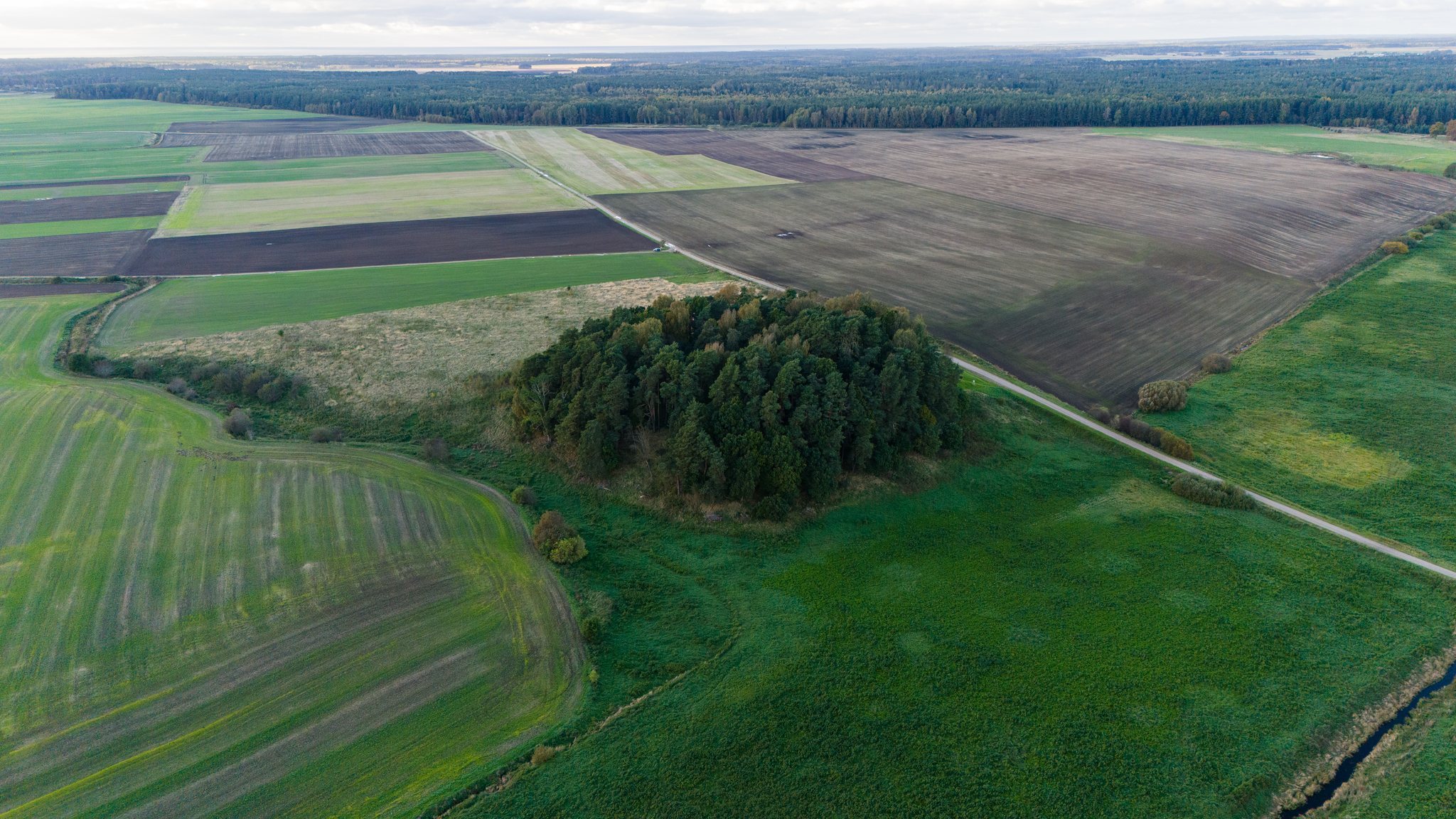
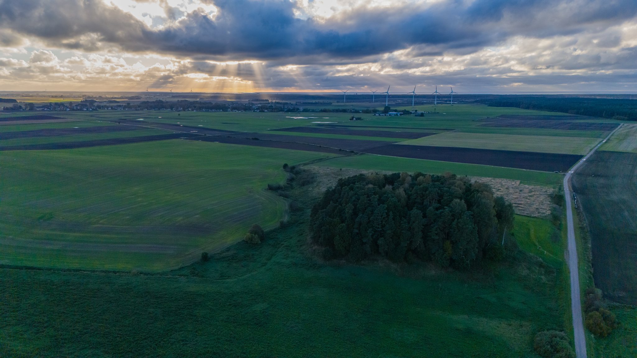
Hillfort Nagarba is an archaeological hillfort and associated foothill settlement in Lithuania, at Negarbos village on the right bank of the Tenžė River. Its elevated position was strengthened by a rampart, an artificially raised defensive earthwork, and the site developed during the medieval period. The hillfort may be the Curonian stronghold of Nagarba, recorded as Nebarge in a 1253 letter by Henry, Bishop of Courland, a medieval ecclesiastical territory in the eastern Baltic. This identification remains an interpretation rather than a confirmed fact.
Names and early references
The site is also called Senkai Hillfort, Jazdai or Jazdaičiai Hillfort, Nagarba Hill, and Bliūdkalnis. The last name refers to its supposed resemblance to a large bowl. The hillfort stood on the lands of the Jazdai or Jazdaičiai estate and faces Senkai village across the river. Nagarba first entered historical literature in 1848, when the Lithuanian Roman Catholic bishop and writer Motiejus Valančius mentioned it in The Diocese of Samogitia.
The name Nagarba is probably derived from the Proto-Baltic, more specifically West Baltic, form Nāgarbā. One interpretation connects its elements with Old Prussian words meaning “on” or “from” and “hill,” suggesting an inherited Curonian place-name from the Mēguva region. A possible relationship with the Sanskrit word gharba, associated with a womb, embryo, or figuratively a core or depth, has also been proposed. This possibility does not rule out the West Baltic interpretation.
Archaeological investigations
Vladas Nagevičius surveyed the hillfort in 1923, followed by investigations in 1960, 1966, 1974, 1982, 1992, and 2012. The 1966 work was carried out by the Institute of History of the Lithuanian Academy of Sciences under Adolfas Tautavičius. Later surveys involved the Scientific Methodological Council for the Protection of Cultural Monuments, the Lithuanian Scientific Centre for Cultural Heritage, and archaeologist Arūnas Strazdas of the Cultural Heritage Centre.
Julius Kanarskas investigated the foothill settlement in 2003 by excavating a 2.5-square-metre area. The excavation revealed a disturbed cultural layer, an accumulated deposit containing traces of past human activity, measuring 76 centimetres in thickness and dating from the tenth to the thirteenth centuries. It contained a hearth, handmade and wheel-thrown pottery, and a sandstone whetstone. Other investigations in the settlement area also identified hearth remains, pottery, and additional artefacts.
A local tradition says that an estate once stood on the hillfort. In the legend, its lords oppressed the people and refused to help them, after which the gods caused the hill to open and swallow the estate and its lords. A pond then appeared on the summit. The tradition may help explain the continuing association between the hilltop, water, and the former estate, but it is presented as folklore rather than as a historical account.
Remains
Hillfort and earthworks
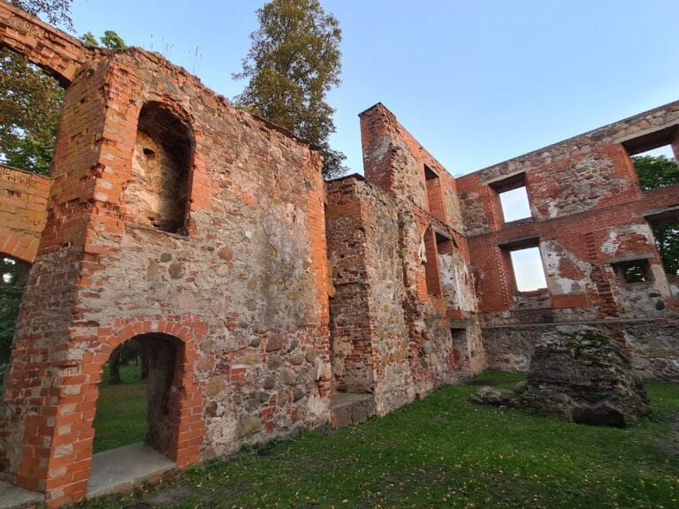
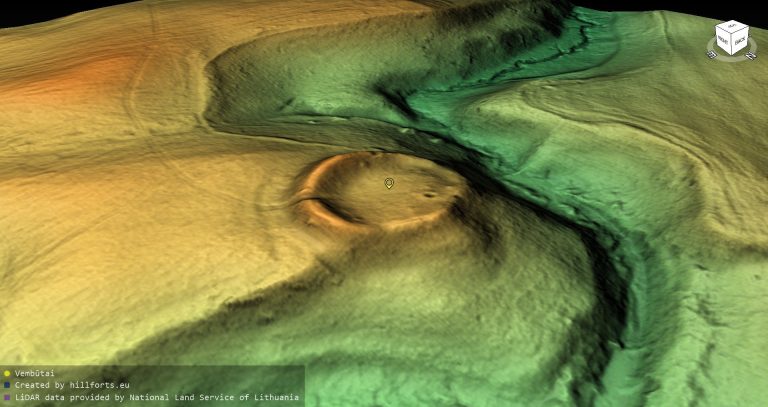
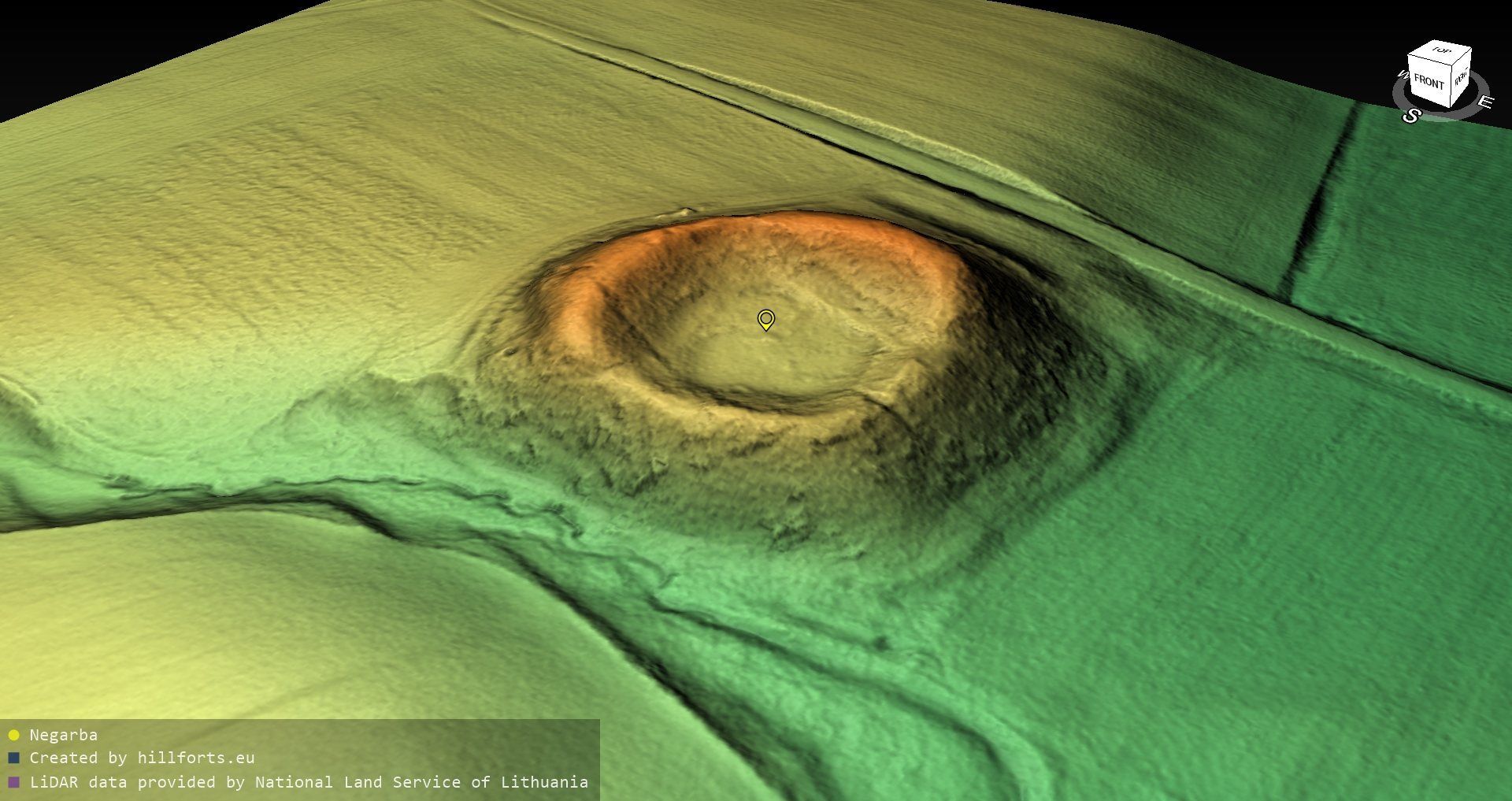
Hillfort Nagarba occupies a 47 to 50 metre-wide highland promontory at the meeting point of the Tenžė River and an unnamed stream. A rampart surrounds the promontory. Along the western and northern sides, the rampart extends for 140 metres, rises 7 metres above the surrounding field, and is 6 metres wide at its top. On the eastern and southern sides, a further 100-metre section rises about 2.2 metres above the hillfort platform and approximately 13 metres above the exterior ground level.
The eastern part of the platform is fed by a spring. Local tradition identifies this area with a former pond that supplied water to the inhabitants of the stronghold. The hillfort is associated with several nearby archaeological places, including Senkai Hillfort 1 kilometre to the southeast, the Jazdai-Nagarba cemetery 1 kilometre to the north, the Senkai ancient agricultural site 0.8 kilometre to the southeast, the Senkai cemetery 0.6 kilometre to the northeast, and the Negarbos cemetery 50 metres to the south.
Foothill settlement
The associated settlement extends west and north of the hillfort across approximately 3 hectares. Together, the hillfort and settlement cover 6.257 hectares. Excavation in the settlement exposed hearths within the cultural layer, along with handmade and wheel-thrown pottery, a sandstone whetstone, and other artefacts. These remains place domestic activity at the foot of the hillfort between the tenth and thirteenth centuries.