Dauginčiai Hillfort: A First-Millennium Fortified Site in Lithuania
Site at a Glance
- Rating
- 4.9
- Popularity
- Very Low
- Country
- Lithuania
- Primary era
- Medieval
- External website
- Open
- Eras represented
- Classical, Medieval
- Civilizations
- Unclassified
- Site type
- Military
- Remains
- Fort
On this page7 sections
History
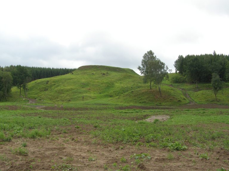
Dauginčiai hillfort is a first-millennium fortified site in Lithuania, where a wooden castle of the Curonians or their ancestors once stood. A hillfort is a raised settlement or stronghold defended by natural slopes and constructed earthworks. Local residents call the site Pilalė, and less often Pilis. Its construction date and historical development remain uncertain because detailed archaeological investigation has not yet established them.
Curonian Stronghold
The hillfort is provisionally assigned to the first millennium. The Curonians were a western Baltic people who lived around the eastern Baltic during the first millennium and the medieval period. The surviving evidence indicates that the elevated site formed the setting for a wooden castle, although the precise stages of its construction and use are unknown.
Surveys and Heritage Protection
A survey by the Institute of History of the Lithuanian Academy of Sciences in 1966, directed by Adolfas Tautavičius, identified traces of a cultural layer on the plateau. A cultural layer is an archaeological deposit containing traces of earlier human activity. Further surveys followed in 1982 under Romas Olišauskas, in 1992 under Vilnius Morkūnas, and in 2009 under Romas Jarockis.
Dauginčiai hillfort became an archaeology monument of republican significance in 1972. It entered the Lithuanian Register of Immovable Cultural Heritage in 2003 and was recognized as a state-protected cultural property in 2005. Its heritage records include unique code 5218, former register code A1711, and former monument-list number AR500.
Remains
Plateau and Natural Setting
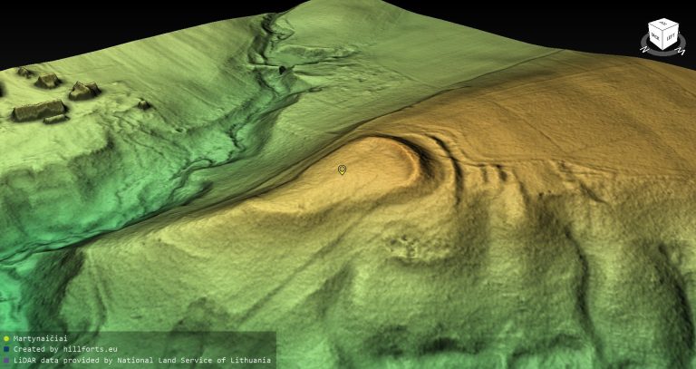
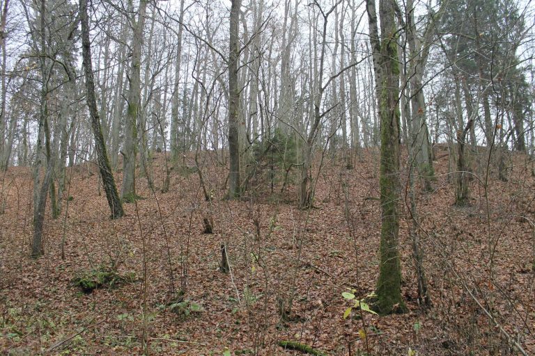
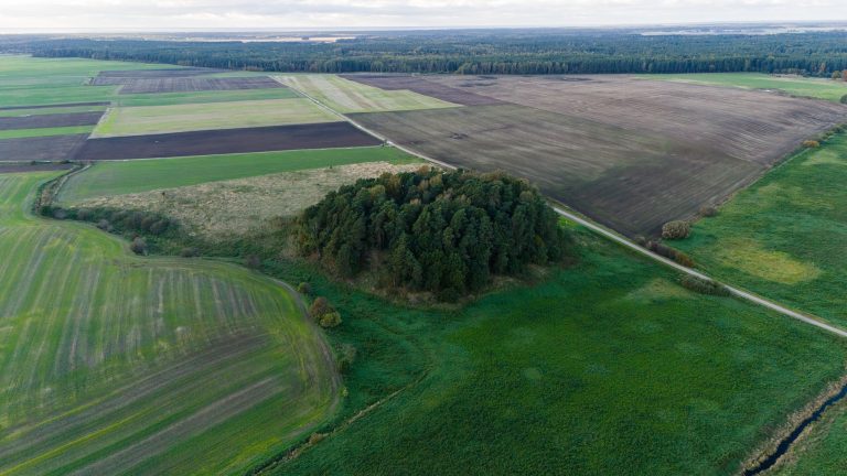
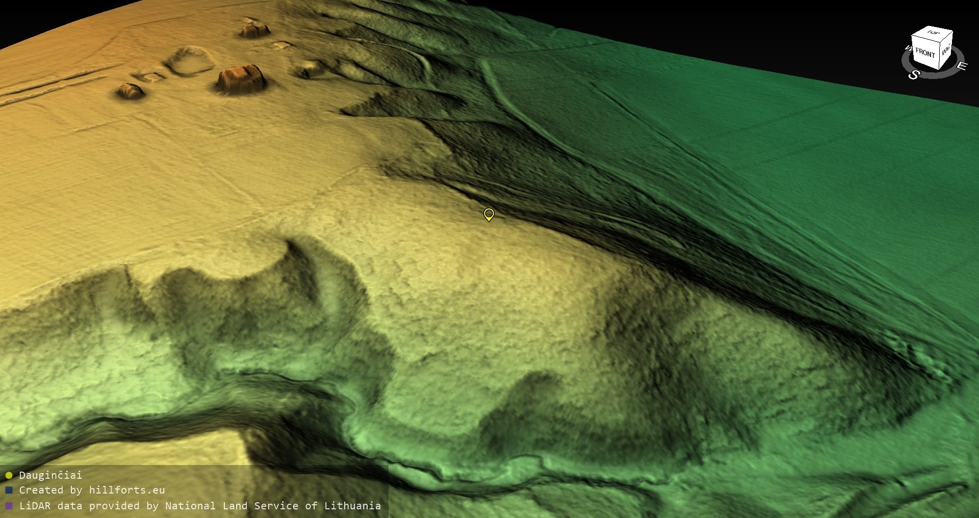
The hillfort occupies the left bank of the Minija, on a highland projection extending into the confluence with the Slinkupis. Its steep slopes rise or descend by as much as 20 metres. To the north and northeast, they lead down into the broad confluence valley, while the southeastern side descends into a ravine within that valley. On the west and southwest, the site joins the surrounding highland.
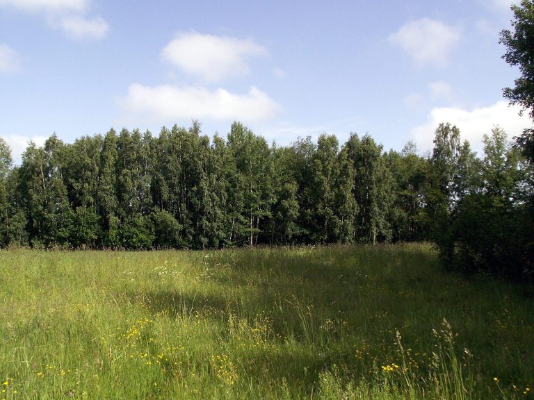
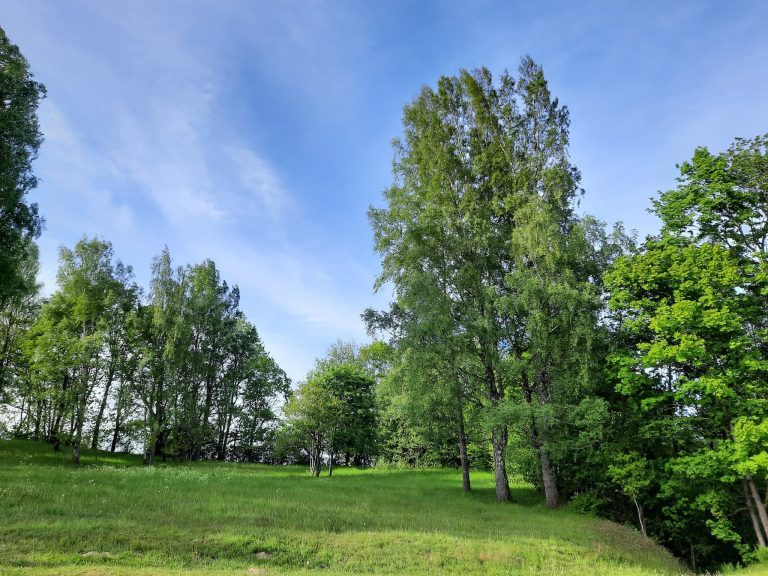
The nearly quadrangular plateau follows the cardinal directions and measures about 45 by 45 metres. The hillfort’s territory covers 2.5087 hectares. Coniferous forest has been planted across the area, while deciduous trees and shrubs have grown over other parts. Pits from potato cellars remain visible at the foot of the eastern slope.
Defensive Earthworks
Along the western edge, facing the adjoining highland, a remnant depression marks the former defensive ditch. Beside it lies a flattened rampart about 45 metres long and 13 metres wide, with a surviving height of approximately 0.3 to 0.5 metres. Natural erosion and ploughing have heavily damaged these earthworks. The ditch has filled and become covered, while prolonged cultivation has reduced the rampart.
Interpretive Marker and Nearby Hillforts
An interpretive sign installed at the eastern foot in 2003 takes the stylized form of castle towers and carries the inscription “DAUGINČIŲ PILIAKALNIS.” Arvydas Klovas designed it, and the Salantai Regional Park Directorate installed it. Sauseriai hillfort lies 800 metres to the north, while Dauginčiai II hillfort is 500 metres to the northeast.