Martynaičių piliakalnis: A Lithuanian Hillfort and Settlement
Site at a Glance
- Rating
- 4.3
- Popularity
- Very Low
- Country
- Lithuania
- Primary era
- Medieval
- External website
- Open
- Eras represented
- Classical, Medieval
- Civilizations
- Unclassified
- Site type
- Military
- Remains
- Fort
On this page6 sections
History
Martynaičių piliakalnis is a hillfort and associated settlement in Lithuania, located in Martynaičiai village near the confluence of the Minija River and the Pilies Stream. A hillfort is a fortified settlement or stronghold established on naturally elevated ground, usually reinforced with ramparts and ditches. The site was used from the first millennium through the thirteenth century and is believed to have been the location of Paminijė Castle, a medieval fortified site named in written sources in 1253.
Medieval occupation
The hillfort and settlement formed a connected defensive and residential complex. The elevated platform occupied a naturally strong position above the surrounding valleys, while the settlement extended across the highland at its foot. A local tradition holds that a Swedish place of worship operated on the hillfort during the Swedish period.
Protection and archaeological investigation
In 1935, the State Archaeological Commission instructed the landowners to protect the hillfort. It was classified as an archaeological monument of republican significance in 1972, entered in the Lithuanian Register of Cultural Values in 1992, and joined by the settlement in 1997. The complex became a cultural monument in 1998 and a state-protected cultural heritage object in 2005.
The hillfort was surveyed in 1966, 1982, 1992, and 2015 by specialists working for Lithuanian historical and cultural heritage institutions. In 1994, investigations examined both the hillfort platform and the settlement. These works identified cultural layers on the platform and in the settlement, and helped establish the extent and character of past activity across the complex.
Remains
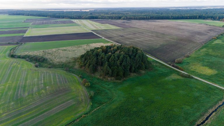
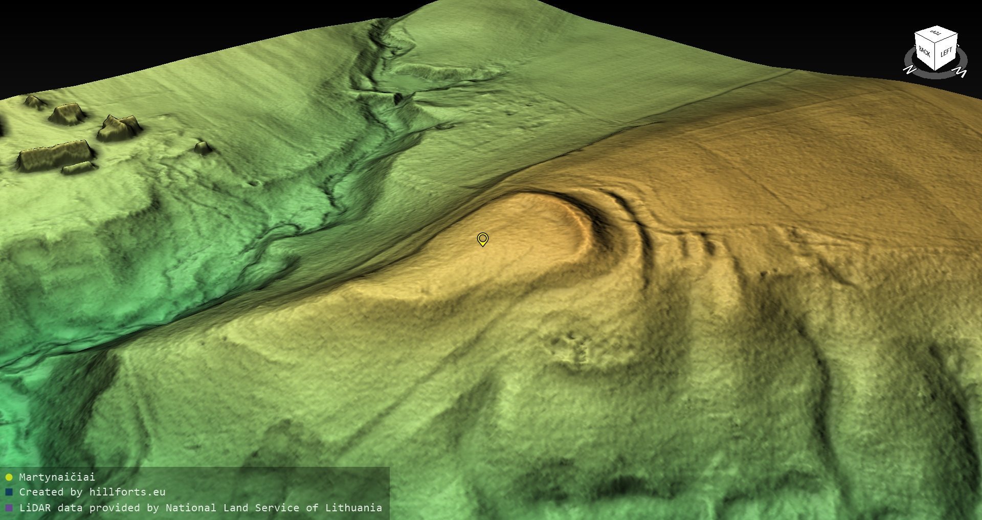
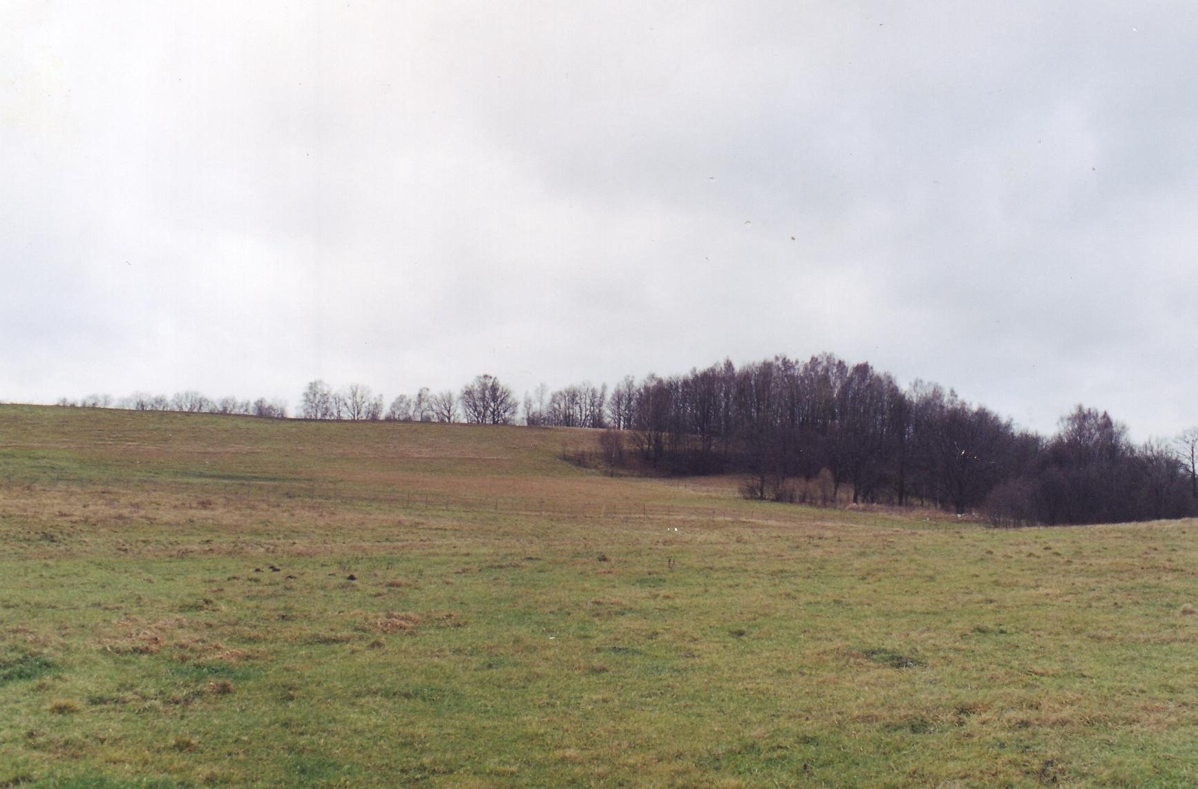
The complex occupies a highland spur projecting into the confluence of the Minija River and the Pilies Stream. Its total area is 73,257 square metres. The hillfort rises above the surrounding valleys, while the associated settlement occupies the highland south of the fortified platform.
Hillfort platform and defenses
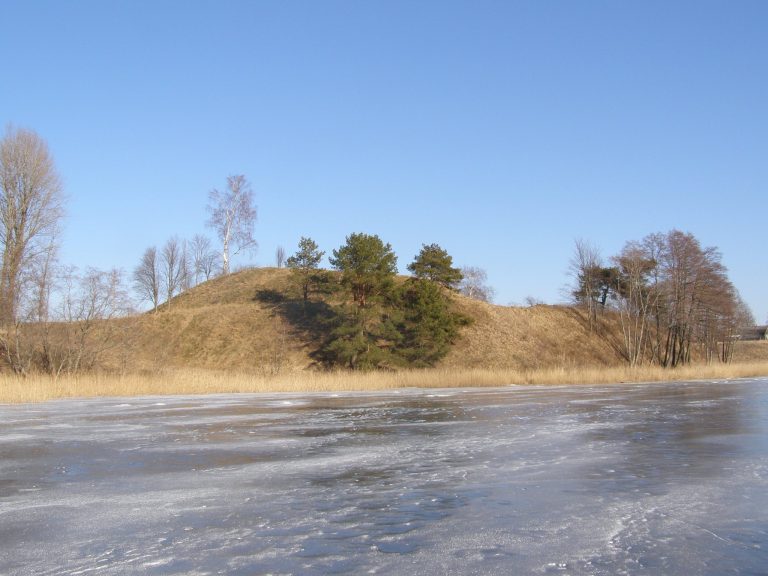
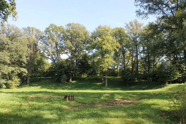
The platform is triangular and wedge-shaped, extending from north to south. It measures about 60 metres in length and reaches up to 40 metres in width at the southern end. Its northern end is narrow, flat, and three metres lower than the remainder, while the northeastern part has slipped. The slopes are 25 to 30 metres high, descending west toward the Minija valley and north and east toward the Pilies Stream valley.
Five ramparts and four ditches protected the platform on its southern, highland side. Together, the defensive system is 22 metres wide. The first rampart follows the southern and southwestern edge of the platform, extending for 45 metres, reaching 15 metres in width, and rising to two metres. Its outer slope descends 3.5 metres to a ditch six metres wide and half a metre deep.
A second rampart beyond the first ditch is one metre high and five metres wide. It is followed by a straight ditch 60 metres long, 3.5 metres wide, and half a metre deep. The third rampart rises one metre above the bottom of this ditch and is seven metres wide; its outer slope descends to a third ditch 3.5 metres wide and 0.3 metres deep. A fourth rampart and ditch continue the defenses, and a fifth rampart formerly stood beyond them. Ploughing has almost destroyed the outer ramparts, leaving only their ends, while deciduous woodland now covers the hillfort.
Settlement at the foot
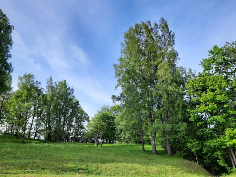
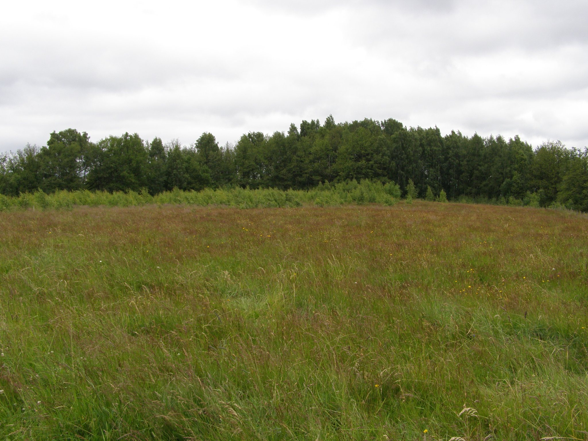
The settlement extends across approximately 2.3 hectares on the highland south of the hillfort. The Pilies Stream valley borders it to the east and the Minija valley to the west. Ploughed areas contain a cultural layer, an archaeologically deposited stratum preserving evidence of earlier human activity, with charcoal, pottery fragments, and fired-clay daub. The settlement margins are fallow, and young deciduous trees cover its central area.
In 1994, excavation exposed 42 square metres of the settlement and revealed a stone structure of uncertain purpose with a stone pavement. Finds included handmade pottery with brushed and smoothed surfaces, wheel-thrown pottery, iron-smelting slag, fired-clay daub, and a stone whetstone. A wooden interpretive sign designed by Arvydas Klovas stands in the northern part of the settlement area.