Kartena Hillfort: A Curonian Defensive and Administrative Centre in Lithuania
Site at a Glance
- Rating
- 4.7
- Popularity
- Low
- Country
- Lithuania
- Primary era
- Iron Age
- Eras represented
- Iron Age, Medieval
- Civilizations
- Unclassified
- Site type
- Military
- Remains
- Fort
On this page8 sections
History
Kartena Hillfort in Lithuania was a Curonian defensive and administrative centre active from the eighth to the thirteenth centuries. The Curonians were a western Baltic people whose lands included parts of present-day western Lithuania and Latvia. The hillfort formed part of the fortified settlements associated with Ceclis, a Curonian territorial land, and probably belonged to the wider defensive network of western Samogitia, a historical region of western Lithuania.
The Curonian centre and its destruction
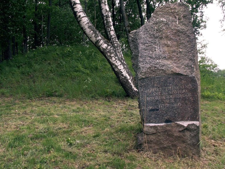
The settlement connected with Kartena Hillfort was used particularly from the tenth to the thirteenth centuries. Kartena first appears in written records in 1253 under the Latin form Cartine. In 1263, Crusaders burned the hillfort, an event that marked a destructive phase in its history.
The hillfort is also associated with a local explanation of the name Kartena. According to the legend, Swedish and Russian forces attacked a castle ruled by a Samogitian king. The ruler watched the fighting from the castle and called out words translated as “Look, the war is there!” The Lithuanian phrase traditionally connected with this exclamation is said to have produced the place-name Kartena. The story remains a local tradition rather than a confirmed account of the hillfort’s history.
Damage, investigation, and protection
Ploughing caused severe damage to the hillfort, while soldiers dug trenches there in 1915. Later, animals and trappers dug burrows into the principal rampart, and its eastern end eroded and slipped. Fiodor Pokrovsky marked the site on the archaeological map of Kaunas Governorate in 1899. Liudvikas Kšivickis surveyed it in the early twentieth century, followed by investigations by the Institute of History of the Lithuanian Academy of Sciences in 1948 and 1966. Further surveys took place in 1956, 1982, and 1992.
Archaeologist Julius Kanarskas investigated the hillfort and its settlement at the foot of the hill in 1995, 2012, and 2013. These investigations revealed post-built structures, prehistoric hearths, bronze objects, handmade pottery, clay daub, flint, and fragments of cremated bones. They also showed that the principal rampart had been enlarged with clay at least twice. Traces of burning on top of an earlier rampart indicate a destructive fire during the site’s development.
Rampart erosion was treated in 1995. The hillfort was classified as a monument of archaeological importance at republican level in 1972. The hillfort and its associated settlement entered the Archaeological Sites Register of the Republic of Lithuania in 1997, became a cultural monument in 1998, and received state-protected cultural-monument status in 2005. The complex has been treated as a nationally significant cultural-heritage site since 1997.
Remains
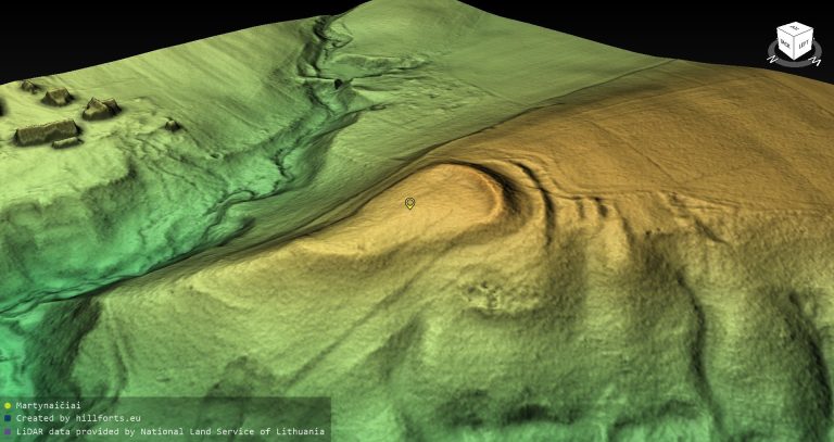
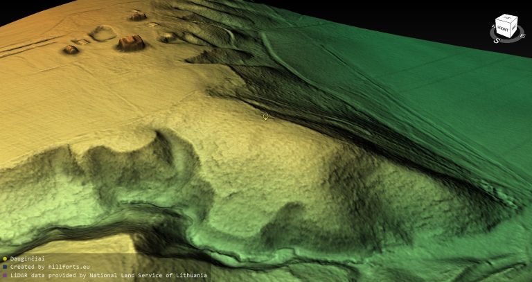
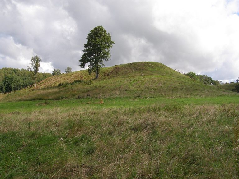
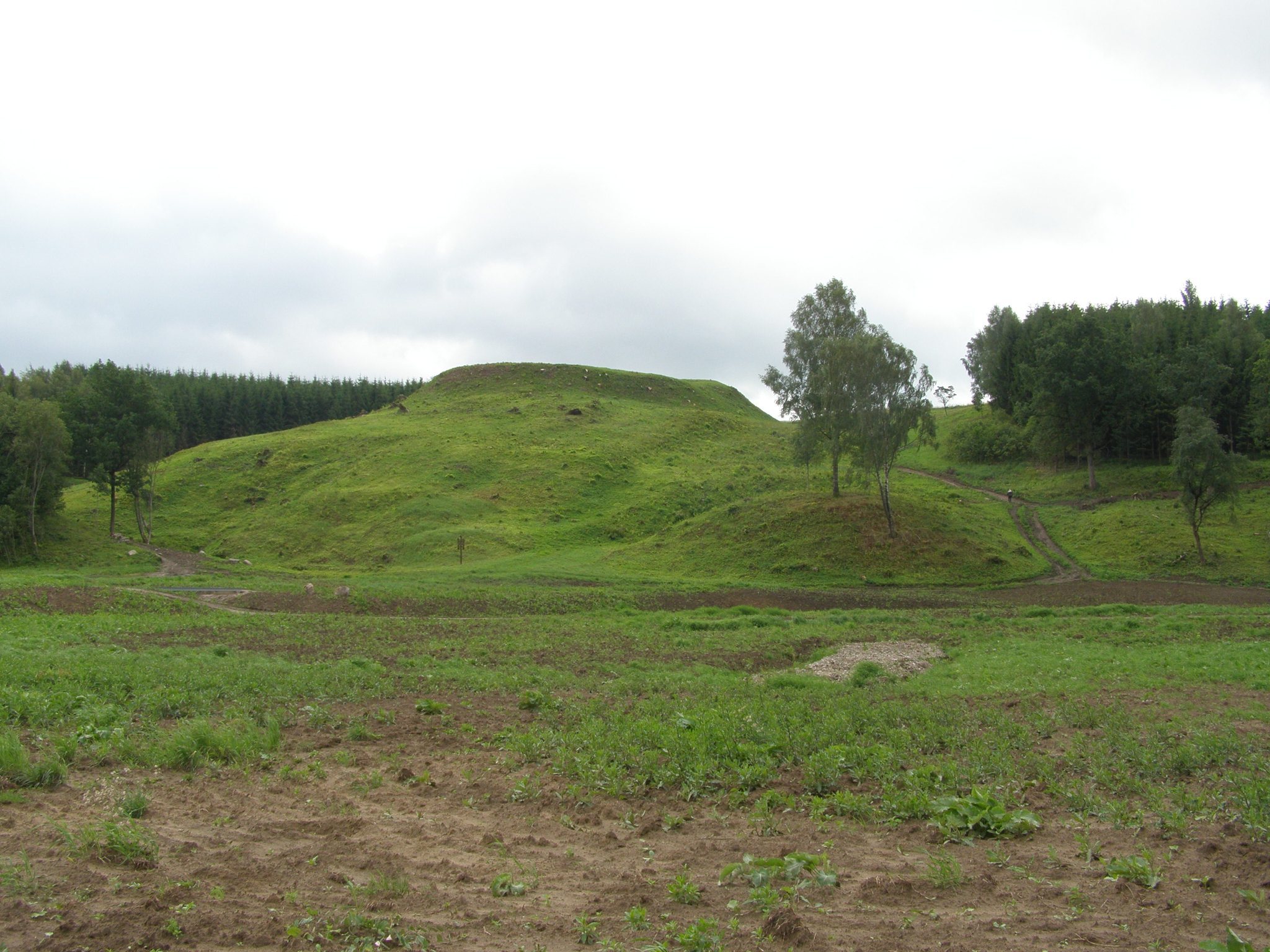
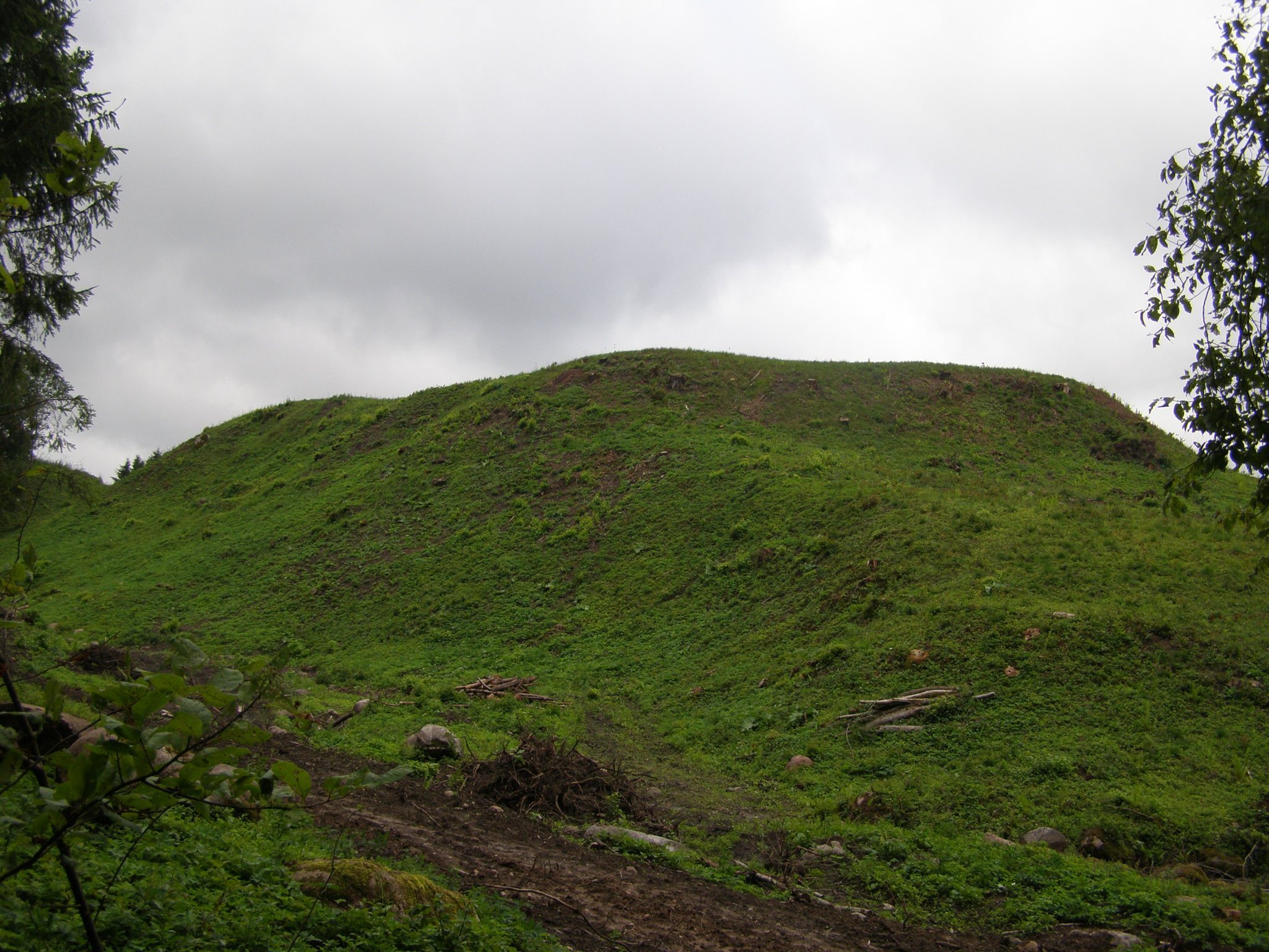
Kartena Hillfort occupies a promontory on the left bank of the Minija River, about 0.8 kilometres south of Kartena. The river borders it to the north and west, a stream valley lies to the east, and higher ground rises to the south. The hillfort covers approximately 0.7 hectares. Its steep slopes reach up to 30 metres, while the upper 6 to 7 metres form a particularly steep, levelled section. The rectangular summit platform measures about 48 by 40 metres and is elongated from north to south.
Hillfort and defenses
Platform and ramparts
The southern edge of the platform retains a rampart about 2 metres high and 30 metres wide. This raised defensive bank was formed from clay and was built up at least twice. A second rampart stood farther south at the foot of the hillfort, measuring about 1.6 metres high and 11 metres wide. The two ramparts were separated by a ditch approximately 2 metres deep, 11 metres wide, and 18 metres long. Beyond the outer rampart was another ditch, formerly about 1.5 metres deep and 16 metres wide.
The hillfort overlooks Kartena, a bend in the Minija River, and the surrounding valleys. This position placed the defended summit above the river corridor and the adjacent landscape. The eastern end of the principal rampart has been affected by erosion and slipping, while earlier burrowing and cultivation also altered the earthworks.
Associated settlement
A settlement connected with the hillfort extends south and east of the fortified summit. Archaeological remains include above-ground buildings whose walls were supported by posts set into the ground. The settlement also contained several prehistoric hearths. Finds from the hillfort and its foot settlement include bronze objects, handmade pottery with smooth and rough surfaces, clay daub, flint, and fragments of cremated bones, meaning burned human or animal remains whose precise context is not established here.
The bronze objects include a spiral ring with an enlarged upper part, a belt-buckle tongue, part of the arm of a cross-shaped pin, and a belt divider. These objects date to the tenth through thirteenth centuries. Rough-surfaced pottery from the settlement belongs to the same period. Iron and bronze cartridge cases connected with the world wars have also been found at the site.
Nearby sacred and commemorative features
West of the hillfort stands the Witch’s Stone, also called the Devil’s Footprint Stone or Laumė’s Stone. Beyond it lies the Kartena Lourdes Grotto, which is thought to occupy the location of a former pagan sacred site. These features form part of the wider historical and cultural landscape around the hillfort.