Hillfort Rūdaičiai: A First-Millennium to Thirteenth-Century Fortified Site in Lithuania
Site at a Glance
- Rating
- 4.3
- Popularity
- Very Low
- Country
- Lithuania
- Primary era
- Iron Age
- External website
- Open
- Eras represented
- Iron Age, Medieval
- Civilizations
- Unclassified
- Site type
- Military
- Remains
- Fort
On this page8 sections
History
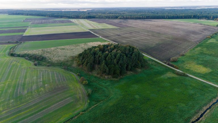
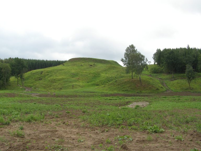
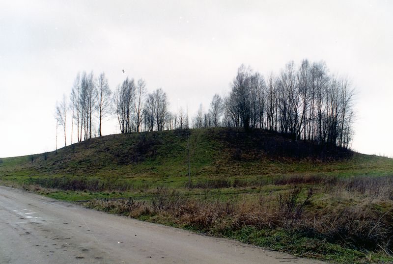
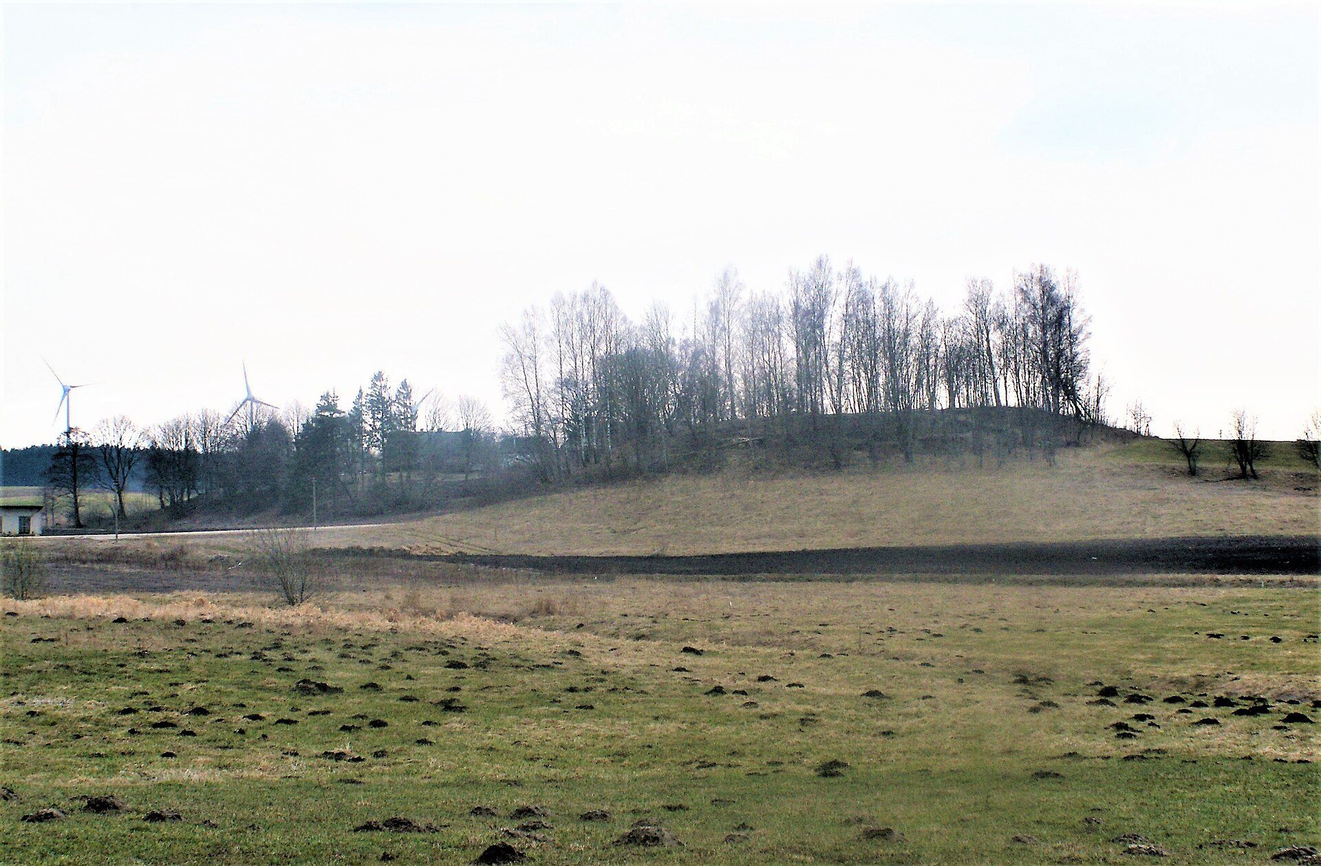
Hillfort Rūdaičiai in Lithuania is a fortified hill site dated from the first millennium to the thirteenth century. Also known locally as Pilalė or Pilalių Hill, it occupies an isolated rise beside the Žiba stream in Rūdaičiai village.
Early use and later land history
The hillfort belongs to a period extending from the first millennium to the thirteenth century. An ancient settlement occupied its western foot, linking the defended hill with a wider area of habitation.
After Rūdaičiai village was formed in the sixteenth century, the hillfort became part of communal land. Pine forest later covered the hill, until German soldiers cut it down during the First World War. After the war, the hill passed into a private plot and was turned into arable land.
Twentieth-century changes and research
A triangulation tower, a fixed surveying structure used to measure and map the surrounding landscape, stood on the summit from the second half of the nineteenth century to the first half of the twentieth century. In 1944, German soldiers dug trenches for antitank guns in the northern part of the hillfort.
In 1935, the State Archaeological Commission collected information about the site after landowners Martynas, Gabrielius, and Viktoras Bruzdeilynas pledged not to destroy the cultural monument. Fiodoras Pokrovskis described the hillfort in 1899, followed by Petras Tarasenka in 1928. Surveys and research were later carried out by Vladas Nagevičius in 1924, Vladas Šaulys in 1956, Juozas Mickevičius in 1960, and other specialists in 1982, 1992, and 2004. In 2014, archaeologist Tomas Ivanauskas investigated the settlement at the foot of the hill and surveyed the hillfort.
The hillfort was declared an archaeological monument of republican significance in 1972 and entered the Register of Cultural Values in 1992. In 2005, it was recognized as a state-protected cultural-heritage object. It is currently protected as a cultural property of regional significance.
Finds from the hillfort
Ploughing and digging brought to light a stone axe, iron spearheads, stirrups, bits, and bronze ornaments. The ornaments included neck-rings, bracelets, brooches, and beads, providing material evidence of activity at the hillfort and its settlement area.
Remains
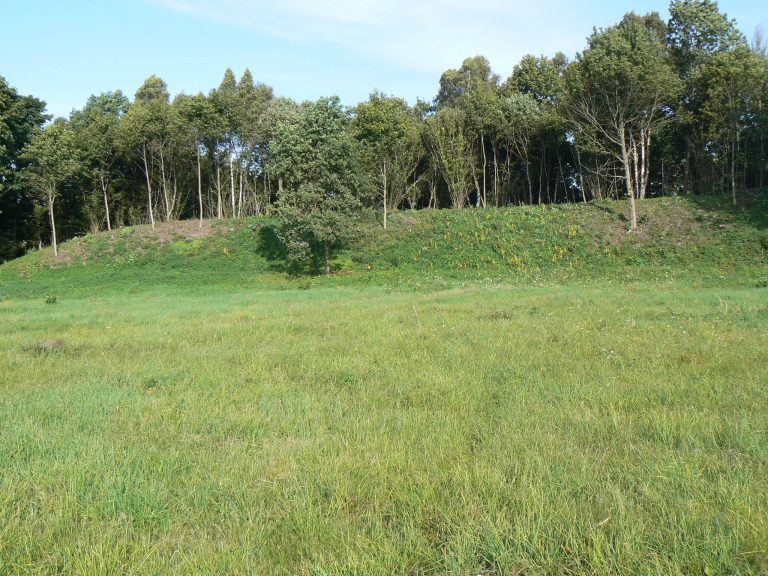
Hillfort Rūdaičiai occupies an isolated hill on the left bank of the Žiba stream in the southwestern part of Kretinga District Municipality. Its territory covers 2.07 hectares. The slopes are steep, with the hill rising 10 metres above the adjacent marshy river valley on the east and northeast, and 4 metres toward higher ground on the west.
Layout and earthworks
Hillfort platform and rampart
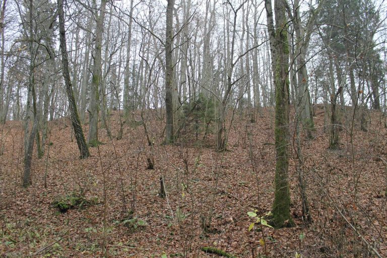
The elongated, roughly circular platform measures 35 metres from northwest to southeast and 30 metres across. On the south and west, where the hill meets higher ground, a rampart forms a semicircular enclosure. This raised bank of earth is 10 metres wide and 0.5 metres high. Ploughing and Second World War trenches have heavily disturbed the hillfort, and deciduous trees now cover the site.
Settlement and later features
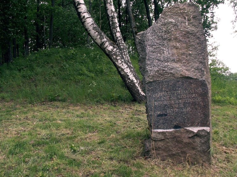
The western foot of the hillfort contains the area of an ancient settlement. Wooden stairs now cross the western slope and rampart, while a path continues southwest through the settlement area. The central part of the platform once held the triangulation tower in a dug-out area. An altar, a designated place for ritual offerings or worship, now occupies that location, surrounded by a recreation area with outdoor furniture.