Ruine Diepoldsburg: A Medieval Double Castle in Germany


Site at a Glance
- Rating
- 4.6
- Popularity
- Low
- Country
- Germany
- Primary era
- Medieval
- External website
- Open
- Eras represented
- Medieval
- Civilizations
- Holy Roman Empire
- Site type
- Military
- Remains
- Castle
On this page7 sections
History
Ruine Diepoldsburg is a medieval double castle in Germany, near Lenningen in Baden-Württemberg. It comprises the Upper Diepoldsburg and the Lower Diepoldsburg, the latter also known as Burg Rauber. The castle is traditionally said to have been built around 1210 by the Knights of Diepholdsburg, and Ulrich de Diepoltsburc was recorded as its owner in 1215.
From the Diepholdsburg knights to the Dukes of Teck
The name Rauber applies only to the lower castle. It was first recorded in 1624 and probably reflects the lower castle’s use as a robber-knight castle. In 1297, Diepoldsburg belonged to the Dukes of Teck, a medieval noble dynasty that controlled territory and castles in Swabia.
From 1328, Albrecht, Count of Grafeneck, held the castle as a pledge-holder, meaning that he controlled its rights as security for a financial or political obligation. He styled himself Count of Diepoldsburg.
Württemberg ownership and pledged lordships
In 1406, the castle passed to the Counts of Württemberg, another medieval Swabian dynasty. They granted its lordship as a pledge to Berthold and Hans von Schwenzlin. The Lower Diepoldsburg was first mentioned in this context.
In 1424, Hans, Truchsess of Bichishausen, became pledge-holder. A Truchsess was a high-ranking court official whose title later formed part of some noble family names. His lordship included Diepoldsburg, properties in Zähringen, Grabenstetten, Brucken, Oberlenningen, and Unterlenningen, the Berkheim estate, and vineyards in Ober- and Untertürkheim.
Decline and preservation
In 1451, Hans transferred the lordship to his son Albrecht von Bichishausen, who probably lived at the castle. After the Bichishausen Truchsesses died out in 1510, Diepoldsburg passed to the Lords Speth von Sulzburg. From the sixteenth century onward, the castle increasingly fell into decay.
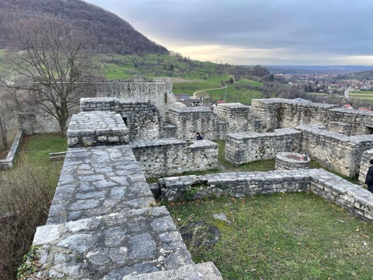
Preservation work took place in 1964 and 1965 with the participation of the state of Baden-Württemberg. The surrounding walls were among the features restored during this work.
Remains
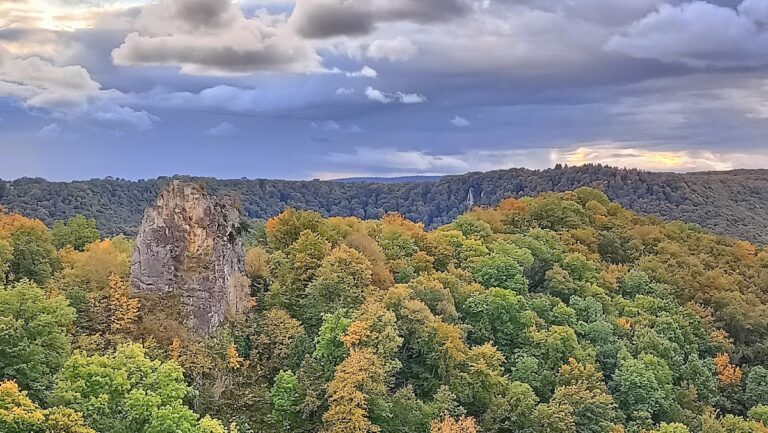
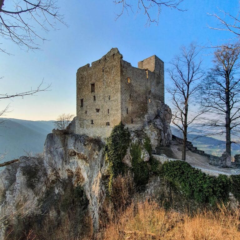
The double castle occupies a rocky ridge at about 780 metres above sea level above the Lauter Valley, near Unterlenningen in the municipality of Lenningen. The Upper Diepoldsburg stands at the highest point, while the Lower Diepoldsburg lies farther along the ridge, about 45 metres below the upper castle’s core. A level area about 100 metres long and 40 metres wide separates the two complexes. Ditches and steep natural slopes divide and protect the site.
Upper Diepoldsburg
The Upper Diepoldsburg extends for about 165 metres. An extensive system of ditches divides it into sections on different levels. At its highest point, the core castle forms an approximately rectangular enclosure measuring about 38 by 22 metres. Steep natural slopes protect its sides, while deep ditches defend its ends.
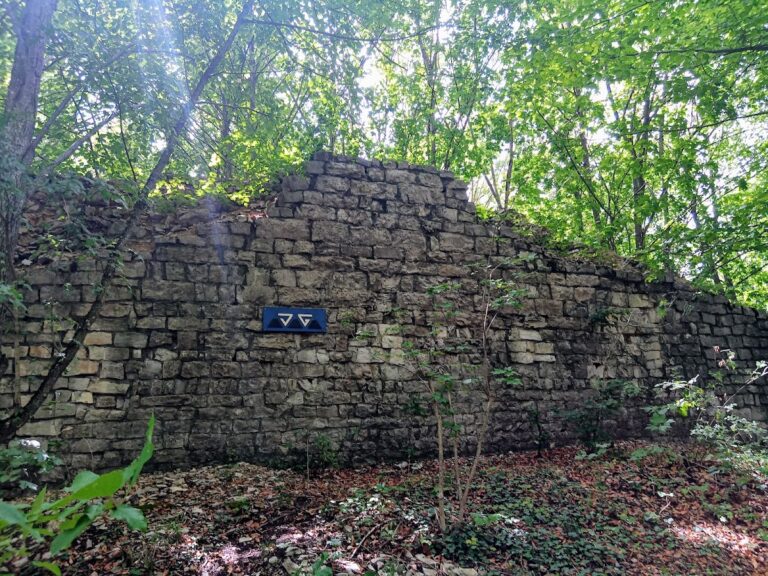
At the uphill ditch are the remains of a shield wall, a particularly strong defensive wall placed on the side most exposed to attack. The wall is about 22 metres long and 3.5 metres thick. It survives to 4 metres in height and has been rebuilt to as much as 8 metres. The presumed former entrance lay on the southwest side, probably crossing a ditch to a gate in the shield wall. Traces in the terrain and surviving core masonry indicate the course of the main enclosing wall and a building behind the shield wall.
Outer baileys, subsidiary enclosures outside the core castle, provided additional protection, although almost nothing remains of them. The eastern outer bailey secured the uphill side, while the western rear bailey accommodated service buildings.
Lower Diepoldsburg
The Lower Diepoldsburg stands at the end of the rocky ridge. A wooden bridge now crosses its neck ditch, a ditch cut across a ridge to isolate a fortified site. The ditch is 15 metres wide and leads to a gate. The feature interpreted as the gate was originally a large opening in the masonry, and it has not been established whether the present gate was the former castle entrance. An approach from the southwest side of the ditch is also possible.
The largely preserved enceinte, or main enclosing defensive wall, follows the edge of the rock and reaches up to 7.5 metres in height. It is about 130 centimetres thick and bridges a fissure on the north side. Its rounded wall corners are a notable surviving feature. A cistern, a structure for collecting and storing water, is located in the lower castle courtyard.
Nearby sites