Ruine Sperberseck: A Staufer-Period Hilltop Castle in Germany


Site at a Glance
- Rating
- 3.8
- Popularity
- Very Low
- Country
- Germany
- Primary era
- Medieval
- Eras represented
- Medieval
- Civilizations
- Holy Roman Empire
- Site type
- Military
- Remains
- Castle
On this page11 sections
History
Ruine Sperberseck is a Staufer-period castle in Germany, built around 1090 on the Albtrauf, the steep escarpment along the northwestern edge of the Swabian Alb. Berthold I von Sperberseck, a member of the medieval Sperberseck noble family, is credited with founding the castle after the family moved from its ancestral seat toward the end of the eleventh century.
The Lords of Sperberseck
From 1140, Ruine Sperberseck served as the seat of the Lords of Sperberseck. They belonged to the ministerial class, a group of dependent or originally unfree nobles who served rulers and major lords in administrative, military, and courtly roles. The family derived from the high-noble house of Sulmentingen. Its service first connected the castle to the Zahringen dynasty, a major ruling house in southwestern Germany, then to the Lords of Teck, and later to Wurttemberg.
Around 1365, the castle was divided as a Wurttemberg fief between the Lords of Sperberseck and the Lords of Nachtigall. A fief was land held in return for service and allegiance. This division marked a further stage in the castle’s changing ownership and administration. A castle chapel was added in 1385.
Abandonment and later conservation
The economic farmyard below the castle had ceased to be inhabited by 1388. The castle may have been destroyed during the German Peasants’ War in 1525, a widespread uprising against social and economic conditions in the German lands. It may instead have been abandoned as a residence at the beginning of the fifteenth century. The Sperberseck family died out in 1718.
Conservation work was undertaken at the ruins in 1978 by the Stuttgart Forestry Directorate and the Kirchheim State Forestry Office. Ruine Sperberseck now lies within the Upper Lenningen Valley and Side Valleys Nature Reserve.
Remains
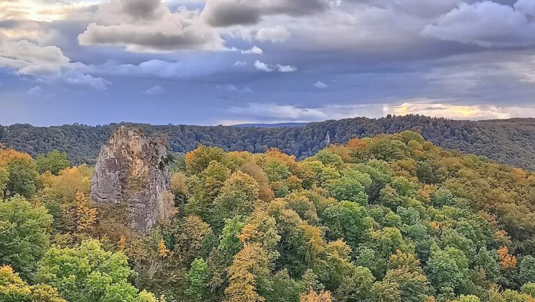
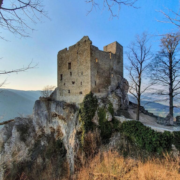
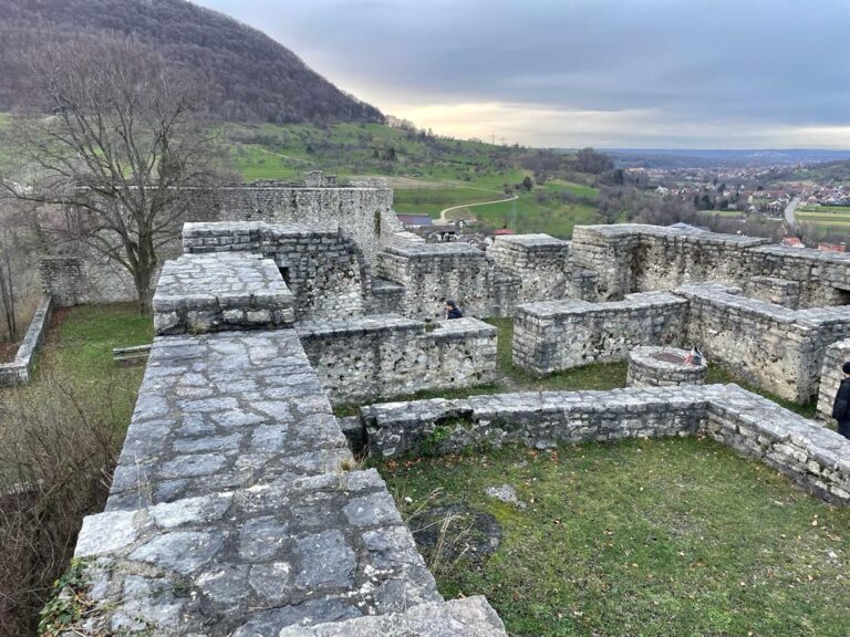
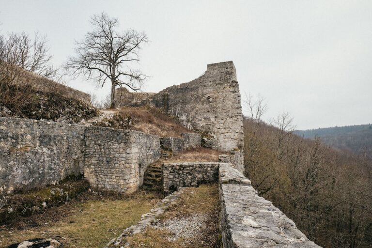
The ruins stand in woodland south of Gutenberg on a north-facing mountain spur at about 728 metres above sea level. The ground falls steeply on three sides, while the castle occupies a relatively small area. Sperberseck was arranged as a two-part hilltop castle, with an outer bailey and an inner bailey separated by a ditch. The surviving masonry combines small-block work with ashlar construction.
Baileys and defensive boundaries
Outer bailey
The outer bailey had a rectangular plan and lay behind a broad ditch with a flat bottom. Little of this area remains visible in the masonry, although traces of its form survive in the terrain.
Dividing ditch
A ditch about 14 metres wide and 10 metres deep separated the outer and inner baileys. Its dimensions express the strong physical division between the two parts of the castle.
Shield wall
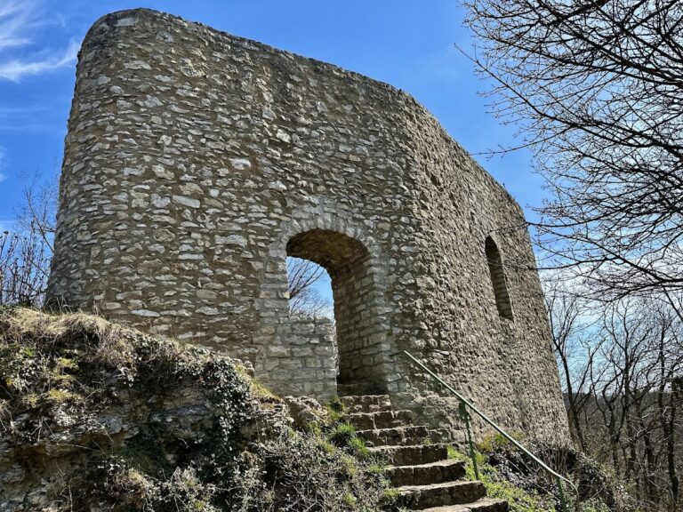
The inner bailey was protected on the side facing the rock by a shield wall, a particularly strong defensive wall placed on the most vulnerable approach to a castle. The wall is 23 metres long and 3.1 metres thick. It rises 6.4 metres on the rock-facing side and 4.2 metres on the side facing the castle interior. Its core consists of rubble stones laid in a herringbone pattern, and the inner facing remains in place. The shield wall is the most substantial surviving part of the ruin.
Inner bailey and terraces
Enclosing wall
Behind the shield wall, an enclosing wall followed the rock in a polygonal line. Buildings stood against it on the east, west, and north sides. A kitchen is presumed to have occupied the western section.
Lower defensive terrace
A lower defensive terrace encircled the mountain flanks about 10 metres below the enclosing wall. On the north, it joined a widened hillside terrace, extending the castle’s defensive organization beyond the inner enclosure.
Nearby sites