Pyšolec: A Medieval Hill Castle Ruin in Czechia

Site at a Glance
- Rating
- 4.2
- Popularity
- Low
- Country
- Czechia
- Primary era
- Medieval
- External website
- Open
- Eras represented
- Medieval
- Civilizations
- Holy Roman Empire
- Site type
- Military
- Remains
- Castle
On this page9 sections
History
Pyšolec is a medieval hill castle ruin in Czechia, located above the Vír II reservoir near Vír. Probably founded by the lords of Pernštejn in the thirteenth or fourteenth century, it occupied a strategically positioned hill on the edge of their Moravian domain. Its surviving bergfried-style layout, centered on a principal defensive tower rather than a residential keep, and the archaeological finds from the site do not establish a more precise foundation date.
Early ownership and reconstruction
The first written reference to Pyšolec dates from 1350, when Filip the Younger of Pernštejn sold the damaged castle and its associated estate to Ješek of Konice and Ješek of Kravaře. The estate soon returned to Filip. This may have followed an agreement that provided for its reversion after Ješek’s death, or it may have resulted from Ješek of Konice acquiring Ješek of Kravaře’s share and making a mutual-inheritance agreement with Jimram of Pernštejn in 1353.
In 1358 or 1359, Jimram of Pernštejn exchanged the Pyšolec estate with Margrave John Henry for an estate at Horní Dunajovice. A margrave was a high-ranking territorial ruler associated historically with the administration and defence of a frontier territory. John Henry may have rebuilt Pyšolec, possibly together with Ješek of Boskovice. After John Henry’s death, the estate passed to his son Jošt of Moravia, who pledged it to Heralt of Kunštát in 1384.
Fifteenth-century disputes and abandonment
In 1406, Pyšolec passed to Heralt of Bechyně, Heralt of Kunštát’s son, who pledged it to Blud of Kralice. Heralt’s heir, Boček of Kunštát, later redeemed the estate. A debt to Jan the Younger of Bítov then led to court-ordered seizure proceedings in 1417. William I of Pernštejn opposed the seizure and probably made an unsuccessful attempt to capture Pyšolec while Blud of Kralice held it.
In 1432, Pyšolec belonged to Margrave Albert of Habsburg, another high-ranking territorial ruler, who granted it, together with Zubštejn and part of Bystřice nad Pernštejnem, as hereditary property to the Moravian hetman Jan of Lomnice. Jan II of Pernštejn acquired the estate in 1446. Pyšolec was still called a castle in 1455, but a record from 1464 described it as ruined. It was abandoned and became derelict during the second half of the fifteenth century, possibly in connection with the Bohemian-Hungarian War.
The castle’s relatively poor construction and its position on the edge of the Pernštejn lands suggest that it may have served mainly as a guard or watch post rather than as a principal aristocratic residence. The municipality of Vír became the owner of the ruin in 2021. Pyšolec has been protected as a Czech cultural monument since 1970 and has stood within the Pyšolec Nature Reserve since 2021.
Remains
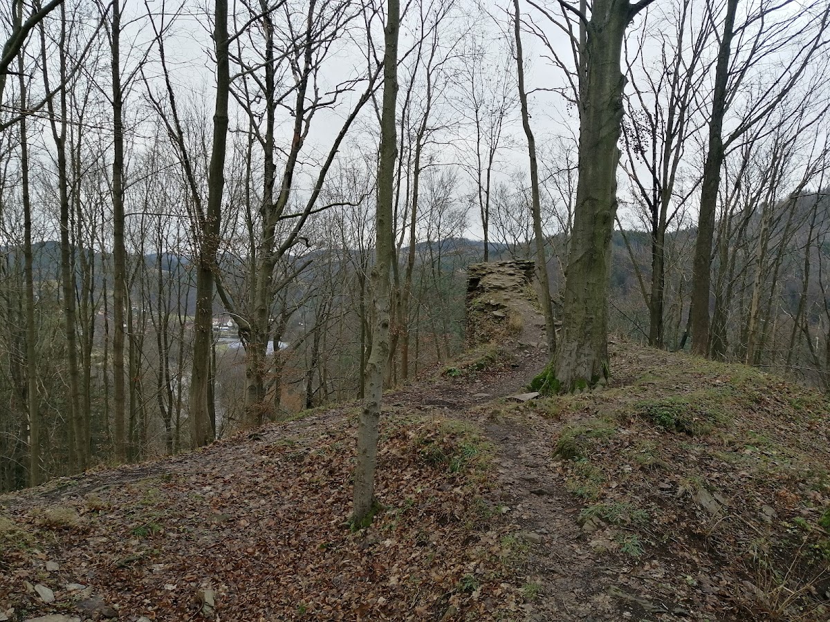
Pyšolec occupies a wooded, steep hill on a descending spur above a bend of the Svratka River and the Vír II reservoir. The river and the sharply sloping terrain protected three sides of the castle. On the more accessible southwestern approach, three ditches and drawbridges formed a layered defensive system. The complex consisted of a main castle core and two baileys, with earthen works, stone walls, towers, and bridges arranged along the spur.
Baileys and approach defences
Main bailey
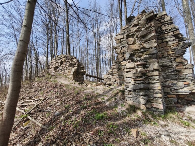
The principal bailey extended for about 60 metres but was only 10 to 14 metres wide. Demolition debris across its surface shows that stone buildings once stood there. A tower with a probably trapezoidal ground plan occupied the head of the bailey. Its northwestern and southwestern sides were bordered by a shallow ditch about 6 metres wide and an earthen rampart. At the northern end, the rampart formed an earthen bastion, or projecting defensive platform, beside the major ditch, while a similar bastion marked its southern termination. A break in the rampart on the southwest probably indicated the entrance.
Ditches and outer works
The major ditch separating the main bailey from the castle core measured roughly 20 to 30 metres across and 10 to 17 metres deep. Together, the three defensive ditches reached approximately 40 metres in width and 20 metres in depth, placing the major ditch among the largest castle ditches in Moravia. A rocky causeway separated the second and third ditches. A small platform on its crest probably supported a structure linking the bridges over the two ditches.
The bridge across the third ditch led to a tower-like gate projecting from the outer defensive wall around the castle core. Jaroslav Sadílek interpreted the rocky platform between the ditches as a second bailey, where a building measuring approximately 6 by 6 metres probably stood. Another platform below the northwestern slope of the core was about 50 metres long and 12 metres wide. Its outer side was bordered by a ditch about 8 metres wide and a low outer rampart.
Castle core
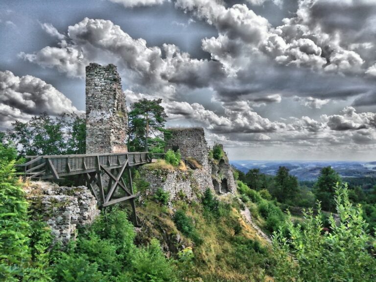
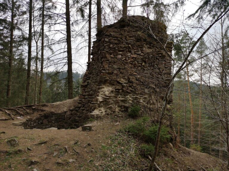
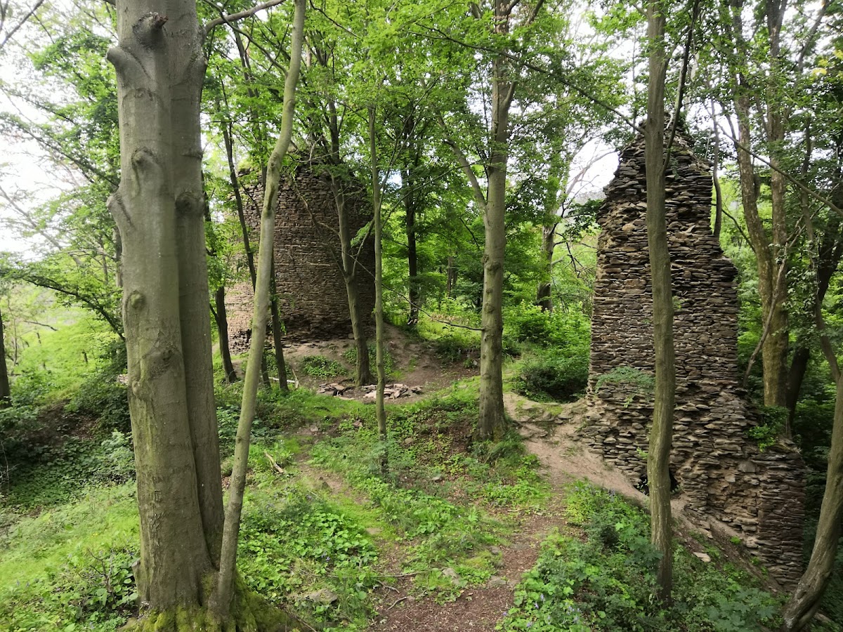
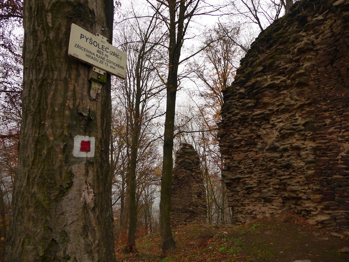
The castle core measured approximately 50 metres in length and 15 to 20 metres in width. Its dominant surviving feature is the roughly 7-metre-high stump of a circular bergfried, the principal defensive tower of a medieval Central European castle. The tower had an external diameter of about 10 metres, while the shaft of its basement was only around 1.2 metres wide.
A circular depression north of the tower marks the remains of a well. Behind it, a small section of palace masonry survives. Large masonry piers supported the wall of the castle core and connected with the outer defensive wall, known as a zwinger wall. A zwinger was a protected passage or zone between a castle’s main wall and an additional enclosing wall or earthwork. One pier contains the remains of a gateway about 0.8 metres wide that allowed movement through this zone. The zwinger wall itself has disappeared, but the surviving piers show that it was approximately 1.3 metres thick and at least 3.5 metres high.
Medieval lime kiln and quarry
About 300 metres southwest of the castle are the remains of a medieval two-chamber lime kiln, probably used during the construction of Pyšolec. Its rear wall ended in an oval curve. The surviving stone front wall measures about 2.8 metres in length, 1 metre in width, and 2 metres in height. Archaeological investigation clarified the kiln’s form, although the finds do not establish when it operated.
The kiln stood beside an almost exhausted deposit of crystalline limestone. Quarrying covered an area approximately 80 metres long and 20 metres wide. Two adjacent pits supplied clay for firing the lime, and nearby pieces of fired clay reach up to 20 centimetres in size. Stone from this quarry was probably also used at Zubštejn and possibly at Aueršperk. Stone architectural and sculptural works made from the same local material are found at Pernštejn and in the Church of the Exaltation of the Holy Cross at Doubravník.