Nedo Castle: A Sengoku-Period Japanese Castle in Abiko
Site at a Glance
- Rating
- 3.8
- Popularity
- Very Low
- Country
- Japan
- Primary era
- Medieval
- Eras represented
- Medieval, Early Modern
- Civilizations
- Unclassified
- Site type
- Military
- Remains
- Castle
On this page15 sections
History
Nedo Castle is a medieval Japanese castle in Abiko, Japan, associated with the Sengoku period, an era of prolonged political and military conflict from the fifteenth to the late sixteenth century. It stands in the former Soma District of Shimosa Province and is traditionally linked with Ota Dokan, a fifteenth-century military leader and castle builder, although the evidence for its origins remains limited.
Origins and traditions
The earliest known written reference to Nedo Castle appears in the 1920 Fuseson History. Local tradition sometimes dates the castle to 1478 and attributes its construction to Ota Dokan. One account connects it with Dokan’s campaign against Chiba Takatane, the Hara clan, and the Kiuchi clan at Sakanehara in Shimosa. During that campaign, his son Suketada was besieging Usui Castle, and Nedo may have served as a temporary military base. A bridge southwest of the site, known as Dokan Bridge, has been cited as local support for this tradition, but the attribution is uncertain.
Another tradition describes the site as the residence of a supposed third son of Soma Tanemura, later remodelled by Dokan. The identity and chronology of this resident cannot be securely established. The castle may have been used by the Soma family before the alleged rebuilding, while its later occupants remain uncertain. Folklore also places a Soma-family residence here during the Kamakura period and, in another version, identifies the site with the residence of Taira no Masakado, a tenth-century provincial magnate remembered for rebellions in eastern Japan. These associations remain unconfirmed.
Evidence for medieval use
A medieval piece of kusazuri, the skirt-like armour protection attached below a warrior’s cuirass, is associated with the site and is considered to date from the Nanboku-cho period. It suggests that a fortified residence or castle existed here before the Sengoku period, although the object cannot establish the identity of its occupants.
The surviving earthworks provide stronger evidence for prolonged defensive use. Angled banks, reverse dog-leg ditch cuts, double earthworks at different heights, and belt-like lower enclosures form a complex defensive arrangement rather than a simple short-term installation. Several Seto bowls, produced in the Seto region and recovered from a dry moat, date from the fifteenth or sixteenth century. They support the castle’s use during the Sengoku period.
After Ota Dokan’s death, Nedo Castle may have entered the sphere of the Takagi clan. The extent of that relationship is uncertain, especially after the Takagi became retainers of the Later Hojo clan, a powerful ruling house based in the Kanto region, and took part in garrisoning and constructing other castles. The site’s later history and abandonment remain difficult to date, and no major reconstruction or later alteration has been established.
Investigation and changing names
The Abiko City Board of Education investigated the site from July 25 to September 17, 1985. Five trenches, labelled A through E, were opened to clarify the castle’s extent. The work uncovered nine dwelling remains, generally about 5 metres across and containing several postholes, together with six pits. Trench A exposed a specially shaped dry moat that had been deliberately filled in. This may indicate dismantling or destruction, although the interpretation is not certain.
Before 1905, local people reportedly called the area Shiroyama, meaning “Castle Mountain.” “Nedo Castle” may have been adopted later as a convenient name distinguishing the site from other places known as Shiroyama, while local residents continue to use the older name.
Remains
Nedo Castle occupies a peninsula-like section of the Shimosa Plateau at an elevation of about 16 to 18 metres, near the meeting point of the Takada and Hananoi tributary valleys. Lake Tega lies to the south. Matsugasaki Castle is approximately 1 kilometre downstream, and Tobari Castle stands to the southeast. The site consists principally of two east-west aligned fortified enclosures linked in a linear arrangement. It is generally classified as a mountain castle, although a hill-castle classification has also been proposed.
Main enclosures
Eastern enclosure
The eastern enclosure lies near the centre of the castle and is generally regarded as the principal enclosure. It stands at about 16 metres above sea level and has a roughly trapezoidal plan, with sides measuring approximately 14, 30, 33, and 28 metres. Residential development has cut into its southwestern portion, altering that part of the original outline.
Dry moats surround the eastern enclosure on the east, north, and west. The northwestern moat is especially broad and contains a pit-like feature interpreted as a pit trap. The southern side is associated with a lower belt-like enclosure and later alterations, making its original moat line harder to define. Raised earthworks stand between the enclosure and its ditches. The western bank is the broadest, averaging about 10 metres at its base, rising roughly 4 metres above the enclosure, and narrowing to about 1 metre at the top.
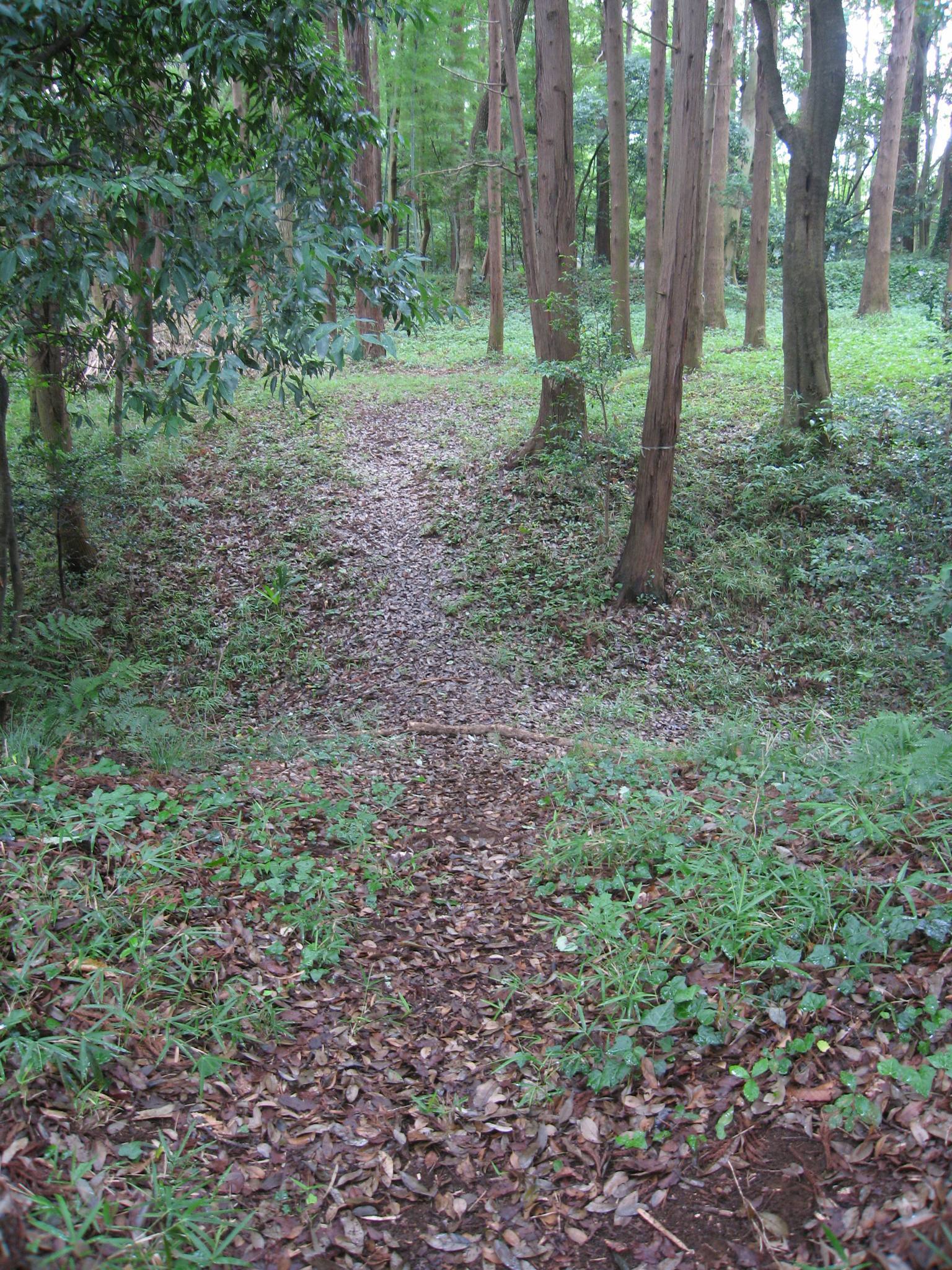
The western earthwork runs from north to south and contains a central opening leading toward the western enclosure. This opening is about 1.5 metres lower than the adjoining bank. Two openings in the eastern enclosure, each approximately 2 metres wide, probably served as passages. The southwestern opening led across an earthen bridge toward the western enclosure and appears to have been the principal entrance route. The southern opening led toward a lower enclosure and a cliff, where a sunken path is also interpreted as an entrance. The southwestern opening has partly lost its original form but retains a short path-like trace associated with a side entrance.
Western enclosure
The western enclosure is an elongated, roughly rectangular plateau measuring about 18 metres from east to west and 50 metres from north to south. At approximately 19 metres above sea level, it is higher than the eastern enclosure. The ground rises to the northwest and falls toward the southeast, while a steep natural cliff forms the southern boundary. Dry moats protect the other sides.
The northern earthwork extends for about 23 metres. Its eastern half is relatively low, standing about 1 metre high with a basal width of approximately 3 metres. The western section rises progressively to about 2.5 metres above the enclosure floor. At the meeting point of the northern and western banks, the defensive line projects westward, turns south, and then bends east before joining the western earthwork. This reverse dog-leg ditch cut created an irregular approach that could expose attackers to fire from the side, a defensive method especially associated with Sengoku-period castles.
The western entrance is smaller than the southwestern entrance of the eastern enclosure. It retains traces of flanking fire from the same direction and includes another pit-like feature interpreted as a pit trap. The southwestern dry moat continues in a straight line down the steep castle slope toward the lowland. Its surviving trace may represent a ditch road used while the castle was occupied, while the wider moat system may also have provided a path along the base of the ditch.
Lower enclosures and defensive works
Lower belt-like enclosures
A narrow belt-like enclosure, or lower fortified area outside a main enclosure, survives northwest of the eastern enclosure. Below its northeastern side, the plateau slopes gently from west to east and contains artificially constructed step-like terraces. These level and terraced areas have long been known locally as the castle-foot settlement.
The southern entrance of the eastern enclosure connects with another narrow lower enclosure. Beyond it, the ground drops at a cliff containing a road-shaped depression interpreted as an additional entrance route. The lower ground south of the castle has been converted into fields and rice paddies, while most of the castle remains lies in privately owned woodland.
Angled earthworks and moat lines
The earthworks around the eastern enclosure change direction several times. The southeastern section bends by approximately 110 degrees before continuing north, and the northern end turns at a right angle. The southern banks may once have formed terrace-like structures, although residential development makes their original arrangement difficult to reconstruct.
The southern half of the moat between the two principal enclosures and the southern part of the western moat contain banks that bend at right angles or in crank-like forms beside the ditches. These angled works were intended to strengthen defence against attacks along the sides of the castle. The feature southwest of the eastern enclosure may instead have been a reverse dog-leg ditch, allowing defenders to engage attackers from the flank.
Additional features and archaeological remains
Lookout platform
An area east of the eastern enclosure, about 6 metres from east to west and 13 metres from north to south, is interpreted as a tower platform. The interpretation lacks firm evidence, but its position at approximately 15.5 metres above sea level would have made it suitable as a lookout point. A sign erected by the Abiko City Board of Education marks this part of the site.
Excavated structures and finds
The 1985 investigation placed Trench A west of the western enclosure, Trench B farther west, Trench C north of the western enclosure, Trench D on the slope leading toward the castle-foot settlement, and Trench E farther northwest of Trench D. Together, the trenches revealed nine dwelling remains and six pits. The dwellings were generally about 5 metres across and contained multiple postholes, indicating timber-built structures.
Trench A also exposed the specially shaped dry moat that had been deliberately backfilled. Multiple Seto bowls recovered from a dry moat belong to the fifteenth or sixteenth century, while the associated medieval kusazuri is considered to date from the Nanboku-cho period. These finds provide material evidence for the castle’s use across more than one phase of medieval Japanese history.
Surrounding routes and possible related ditches
About 110 metres west of the western enclosure, a north-south farm road descends from the plateau to the lowland. Its slope resembles the angled earthwork and ditch-road arrangement southwest of the western enclosure, although its connection with Nedo Castle has not been determined. The road remains in local agricultural use.
Ditches running eastward from Kanazuka Tumulus, together with east-west ditches north of the tumulus, may also relate to Nedo Castle. Their relationship to the castle remains unresolved. Within the main site, however, the surviving moats, banks, entrances, lower enclosures, terraces, and cliff-edge routes form a remarkably coherent defensive landscape. The remains are described as the best-preserved castle remains in Abiko.