Morović Fortress: A Medieval River Fortification in Serbia


Site at a Glance
- Rating
- 4.3
- Popularity
- Very Low
- Country
- Serbia
- Primary era
- Medieval
- Eras represented
- Medieval
- Civilizations
- Hungarian
- Site type
- Military
- Remains
- Castle
On this page6 sections
History
Morović Fortress is a medieval fortress in Morović, Serbia, whose construction has been placed variously in the mid-12th century, after 1332, or more generally in the 14th century. One tradition attributes the building order to Jovan Marotija, the ban, or regional governor, of Mačva. The uncertainty surrounding its foundation reflects the limited historical evidence for the fortress’s earliest phase.
Medieval Ownership
For a short period, the fortress belonged to the possessions of Đurađ Branković, a Serbian despot, a ruler of the medieval Serbian Despotate. It later passed under Hungarian control. After the Maróti family became extinct, John Corvinus acquired the fortress in 1484. Corvinus was the illegitimate son of Matthias Corvinus, king of Hungary.
Ottoman and Habsburg Frontier
The Ottoman conquest is dated either to 1528–1529 or to 1589. The Ottoman Empire was a major imperial power that controlled parts of southeastern and central Europe. Under its rule, men were stationed at Morović Fortress to combat endemic banditry in the surrounding region.
Morović became part of the Habsburg Empire in 1699. The Treaty of Passarowitz, a 1718 settlement that moved the boundary between the Habsburg and Ottoman empires farther south, reduced the fortress’s military and strategic value. It then gradually deteriorated. The ruins are protected in Serbia as a cultural monument of great importance, under a designation recorded on 30 December 1997.
Remains
Brick Fortifications
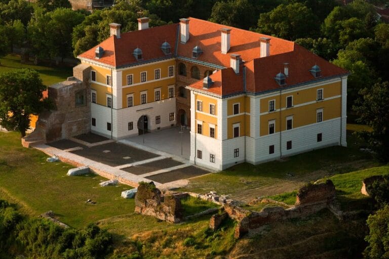
The fortress stands on elevated ground at the confluence of the Studva and Bosut rivers. Its surviving defenses form a trapezoidal plan and are built of brick. The walls are approximately 2 metres thick and remain about 2 to 2.5 metres high, with partially visible exterior buttresses providing reinforcement.
The corners facing the Bosut River survive without their tower structures. A plan prepared by Weigel in 1699 nevertheless depicts two towers at these corners, providing evidence for an earlier or proposed arrangement of the defenses.
Church and Cemetery
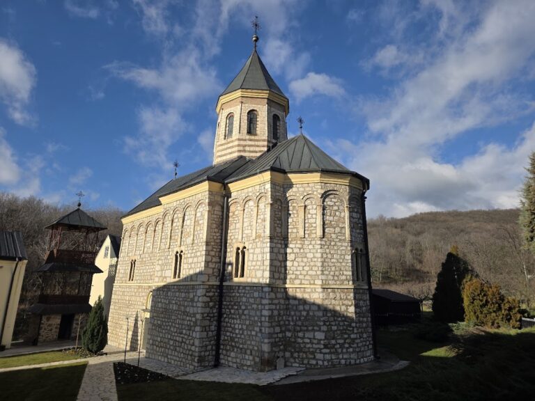
Outside the fortress stands a church dedicated to Saint Mary. Its bell tower contains cross-shaped loopholes, combining a religious structure with defensive openings. A late-medieval cemetery surrounds the church, adding a burial landscape to the remains of the fortified site.