Khawabi: A Citadel and Ismaili Religious Center in Syria
Site at a Glance
- Popularity
- Medium
- Country
- Syria
- Primary era
- Medieval
- Eras represented
- Medieval, Modern
- Civilizations
- Nizari Ismaili State, Ottoman
- Site type
- Military
- Remains
- Citadel
On this page13 sections
History
Khawabi is a citadel in Syria’s Coastal Mountain Range. Its origins are attributed to the Phoenician era (1200–539 BC), and habitation at the site dates back at least to the twelfth century. The Phoenicians were an ancient people of the eastern Mediterranean. Khawabi later became a religious center and defensive stronghold for the Nizari Ismailis, a branch of Ismaili Shi’a Islam.
Early records and Ismaili rule
In 985, the geographer al-Muqaddasi placed Khawabi in Jund Hims, the military district centered on Homs, under Abbasid rule. Byzantine authorities restored the citadel in 1025. It later passed into the possession of Muhammad ibn Ali ibn Hamid.
Claims that Crusaders took Khawabi from Ibn Hamid in 1111 and appointed a local lord as governor remain uncertain. Peter Willey argues that the Crusaders never held the citadel. They called it La Coible and regarded it as a threat to their positions in the coastal mountains.
After the Nizari Ismailis captured Masyaf in 1141, they also took Khawabi. By 1160, their Syrian leader Rashid al-Din Sinan had strengthened the citadel through renovation. Khawabi became an Ismaili religious center and helped defend other Ismaili mountain fortresses to the southwest.
Conflict with the Crusader states
In 1214, Ismailis killed Raymond, the eldest son of Bohemond IV, inside the Cathedral of Our Lady of Tortosa in Tartus. Bohemond and reinforcements from the Templars, a medieval military religious order, then attacked Khawabi. The Ismailis appealed to az-Zahir Ghazi, the Ayyubid ruler of Aleppo. The Ayyubids were a Muslim ruling dynasty governing parts of Syria and Egypt. Az-Zahir sought help from his uncle and rival, al-Adil, the sultan of Egypt.
A force sent by az-Zahir was nearly destroyed in a Crusader ambush at Jabal Bahra, on the approaches to Khawabi. Al-Adil’s son al-Mu’azzam retaliated by raiding Bohemond’s district of Tripoli and destroying its villages. Bohemond then withdrew from Khawabi and apologized to az-Zahir.
Mamluk and Ottoman administration
Ismailis controlled Khawabi until the beginning of Mamluk rule in Syria. In 1273, the Mamluk sultan Baybars annexed Khawabi and destroyed the citadel. Ismailis continued to live in the area with limited autonomy, while the fortress infrastructure shifted to agricultural and domestic uses. The Sunni inhabitants of the fortress village descended from mainly Kurdish tribesmen settled there by Baybars or his thirteenth-century successors. In 1484, the Mamluk sultan Qaytbay abolished taxes on loom products, cattle slaughter, and shoe repair in Khawabi and nearby al-Kahf.
Under Ottoman rule, from 1516 to 1918, the citadel was the center of the Khawabi subdistrict. The area first belonged to the Tripoli district within the larger Tripoli province, then was reassigned to the Jableh district in 1563. In the eighteenth century, the Sha’ir family from Tripoli governed Khawabi after being driven out of Batroun. In 1831, Khawabi became one of 13 subdistricts in the Latakia district, then under the authority of the governors of Acre. In 1865, it was transferred to the Marqab district within the province of Tripoli.
The 1878 Ottoman census counted 1,837 people in the Khawabi administrative region: 47% Alawite, 19% Ismaili, 15% Greek Orthodox, 14% Sunni Muslim, and 5% Maronite. By the early twentieth century, Sunni notables and local leaders owned extensive lands farmed by Alawite communities, a distinct religious group with historical roots in Shi’a Islam, between Duraykish and Qadmus. The fortress village remained the subdistrict headquarters, and agricultural produce from across the area went to its market.
French rule and displacement
In 1918–19, French authorities moved the subdistrict center to al-Sawda because Khawabi had taken part in the Syrian Coastal Revolt against French rule, led by the local Alawite sheikh Salih al-Ali. Al-Ali used the citadel to store weapons, and French forces set it on fire to punish the village. Most Ismaili residents were evacuated to nearby villages; some moved to the Ismaili-majority towns of Masyaf and Salamiyah.
During the French Mandate, Khawabi lost its court, police station, and civil registry office, while trade shifted to al-Sawda. Disputes with Sunni residents over land and livestock also contributed to Ismaili displacement. Sunni residents eventually invited Alawite militias, then in conflict with the Ismailis, to attack the community. About 100 people were killed, and thousands from the surrounding area fled to Tartus. Most of Khawabi’s former Ismaili residents moved to Aqir Zayti; by 1930, their displacement from the village was complete.
Village growth and land reform
A modern village was established below the fortress in the early 1950s; until then, residents had lived inside it. Agrarian reforms in the 1950s and 1960s stripped Khawabi’s notables of most of their remaining land. Many moved to Tartus for trade, weakening their ties with relatives in the village. In the 2004 census, Khawabi had 1,039 residents and was predominantly Sunni Muslim.
Remains
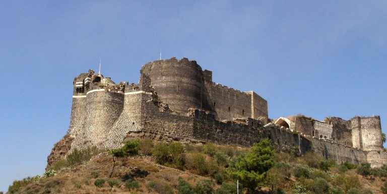
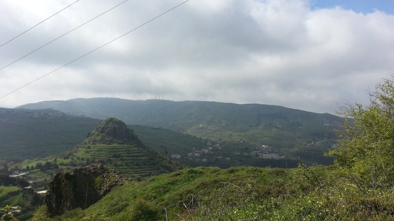
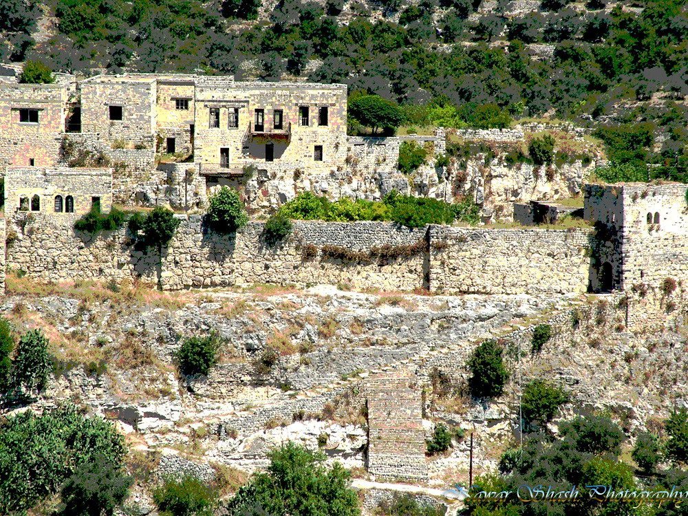
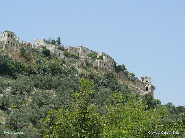
Khawabi stands among olive groves in hilly terrain, about 20 km northeast of Tartus and 12 km east of al-Sawda. The citadel covers approximately 70,000 m² and measures about 350 by 200 m. Its single entrance lies at the northern end. The built-up northern area was partly dismantled between 1970 and 1998.
Defenses and internal paths
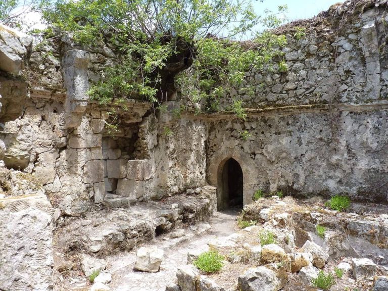
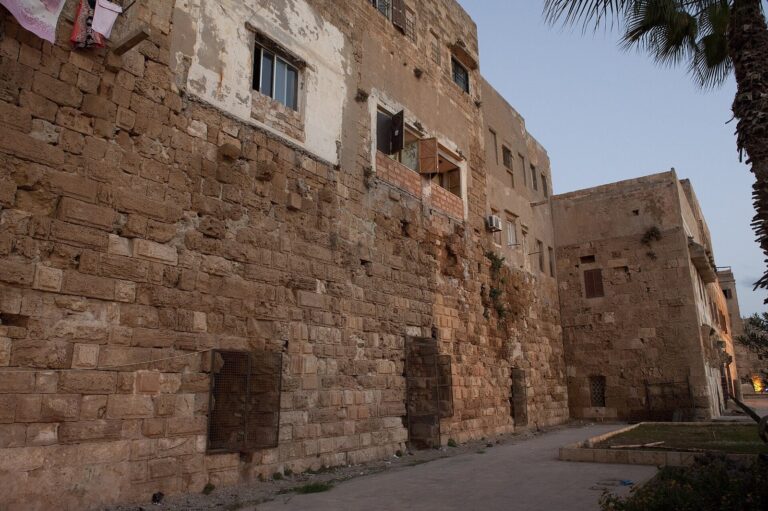
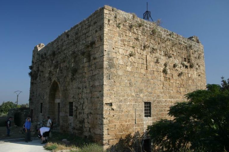
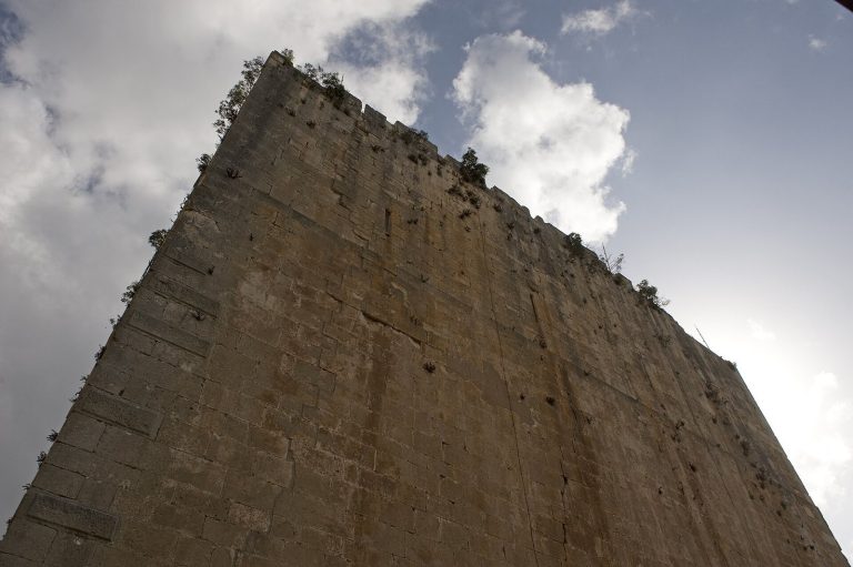
The main defenses occupy the eastern part of the fortress, while the northern end is strongly buttressed. Double walls protect the central section, and water-storage chambers lie within the citadel. A narrow path crosses the middle from north to south, with two alleyways branching toward the eastern and western sections. The outer walls retain stone masonry. Peter Willey praised this surviving work, while Ross Burns gave a generally less favorable assessment of Khawabi’s stonework.
Northern entrance
Two shallow flights of steps lead to the northern entrance and were adapted for cavalry. The first flight has 20 steps and the second has 40. The preserved gatehouse has a double entrance protected by arches, and its upper-floor windows have been enlarged. A tower at the entrance is associated with the citadel’s medieval renovations.
Residential sections
Harat Rashid al-Din Sinan
This upper section is also called Bayt al-Agha by local residents. Housing construction in the 1990s altered the quarter; its surviving features include cellars and stables, as well as visible wall sections of thin reinforced concrete described as characteristic of late Ottoman architectural design.
Harat al-Saki
Harat al-Saki retains ruined residences, medieval walls, and cellars. Some residents built houses by dismantling parts of the walls, while most residents of the section built their homes outside the citadel walls.
Mosque and community house
An Ottoman-built mosque dating to 1892–93 was named for Abdul Hamid II, the Ottoman sultan of the late nineteenth century. A house adjoining the central citadel serves as the residence of the community headman.