Kermenchik: A Medieval Fortress of the Principality of Theodoro
Site at a Glance
- Popularity
- Low
- Country
- Ukraine
- Primary era
- Medieval
- Eras represented
- Medieval
- Civilizations
- Byzantine
- Site type
- Military
- Remains
- Castle
On this page8 sections
History
Kermenchik was a medieval fortress of the Principality of Theodoro in Ukraine, about 15 km east of Mangup, the principality’s capital. It guarded routes toward the capital, and archaeological evidence points to activity beginning in the thirteenth century, followed by a later period of use.
Foundation and defense of Mangup
The fortress’s construction date remains uncertain. A proposed tenth-century settlement and fortress have not been confirmed by archaeological evidence. Other interpretations, based on its defensive masonry, place the fortress between the thirteenth and fourteenth centuries and describe it as either a refuge or a feudal castle. Excavations in 2006 recovered material from the thirteenth and fifteenth centuries, consistent with an early phase and a later return. Surveys in the 1980s and 1990s place occupation no earlier than the late thirteenth century.
Renewed activity in the fifteenth century is associated with the Genoese–Theodorite War of 1433 to 1441, a conflict between Genoese forces and the Principality of Theodoro. Kermenchik was one of three castles guarding important routes toward Mangup. Occupation continued into the last quarter of the fifteenth century. The fortress was probably destroyed in 1475 during the Ottoman conquest of Crimea, as the Ottoman Empire expanded into the peninsula.
Name and later recognition
The name Kirmanchik appears in an Ottoman census from 1520. The nearby village of Vysoke, about 300 m northeast of the fortress, was formerly called Kermenchik after it; the name means “little fortress.” P. I. Koeppen mentioned the ruins in scholarly writing in 1837, and A. L. Berthier-Delagard described them in greater detail in the late nineteenth century. The ruins were declared a regional historical monument in 1986 and are listed as an archaeological monument of local significance.
Remains
Summit layout
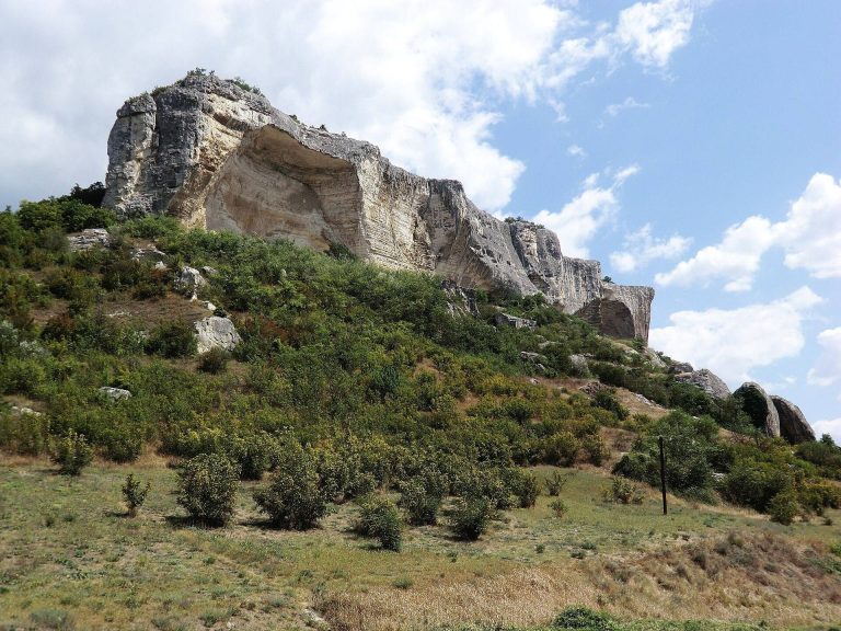
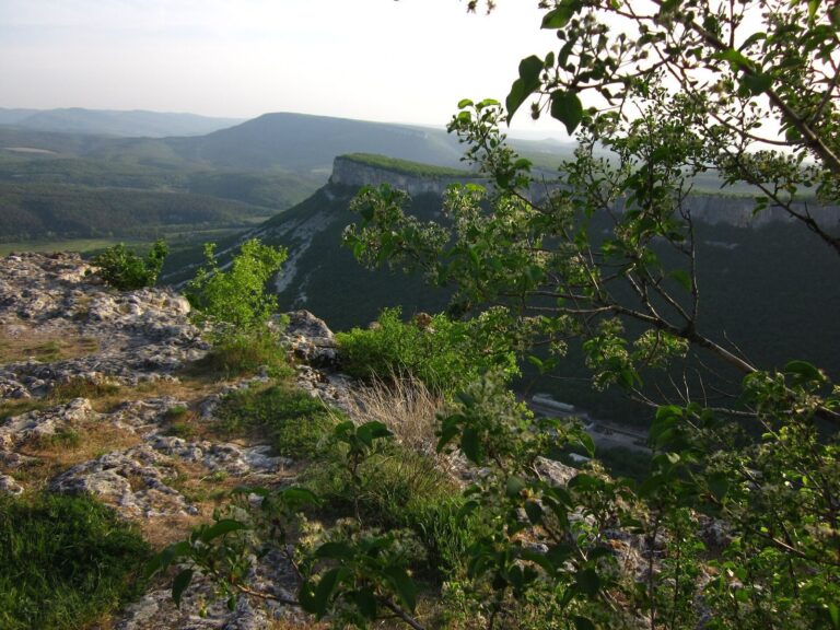
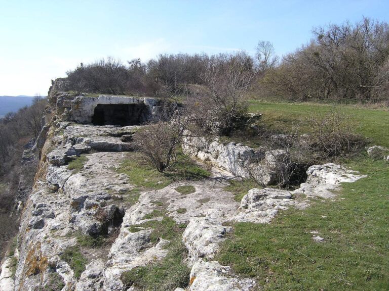
The fortress occupied a rocky summit more than 667 m above sea level. Its fortified area covered 0.31 hectares, with an approximate north–south length of 100 m and east–west width of 40 m. The walls enclosed a perimeter of about 230 m, and the summit was accessible from all sides.
Defensive structures
Walls
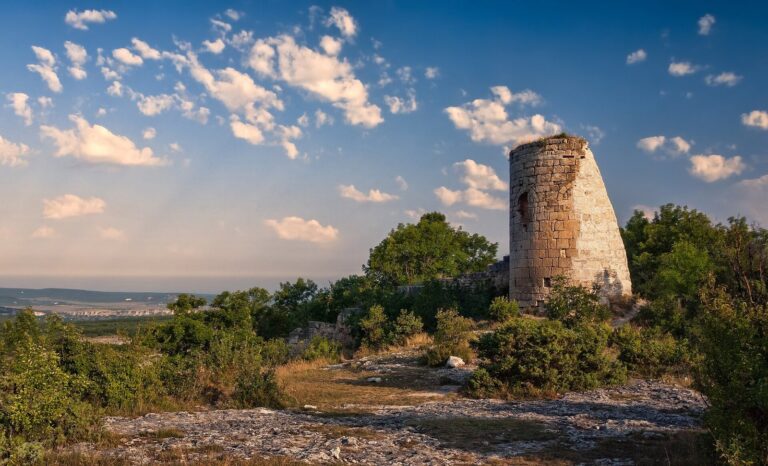
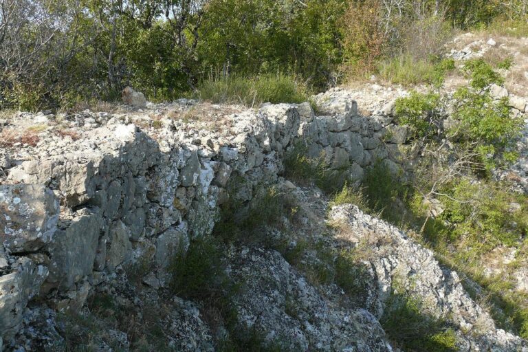
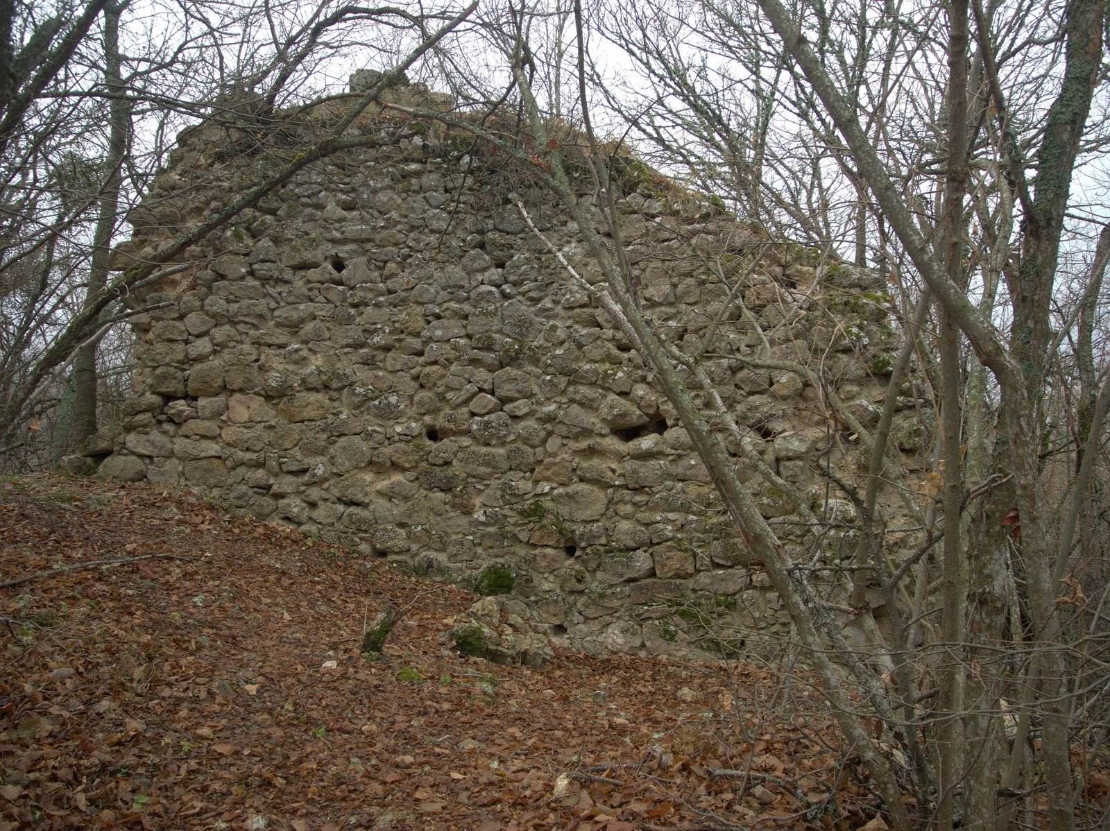
The walls were built from rubble stone set in sand-and-lime mortar, with wooden ties. They measured 1.5 to 1.7 m thick at the base and narrowed to 1.2 to 1.5 m at parapet level. The reconstructed height of the curtain wall, the defensive wall linking parts of a fortification, together with its parapet, a protective barrier along the top, is 8.7 to 8.8 m. Wooden platforms along the wall’s upper edge provided positions for defenders. Most of the ruins are fallen stones overgrown with forest, but a southwestern stretch of wall remains 6.8 m high.
Keep and entrance
A rectangular keep, the fortress’s principal fortified tower, stood on the gentler southern side of the summit and measured 6 by 8 m. The castle entrance was 20 m east of the tower.