Sandyk-Kaya: A Medieval Fortress in Crimea
Site at a Glance
- Popularity
- Low
- Country
- Ukraine
- Primary era
- Medieval
- Eras represented
- Medieval
- Civilizations
- Byzantine
- Site type
- Military
- Remains
- Castle
On this page8 sections
History
Early settlement and origins
Sandyk-Kaya is a medieval fortress on the Kordon-Bair ridge in southwestern Crimea, Ukraine. Stone cists associated with the Taurians, an ancient people of Crimea, and coins from ancient and early-medieval periods point to activity in the area, which was inhabited before the Common Era. The Soviet archaeologist and historian Anatoly Yakobson dated the fortification’s beginnings to the ninth century and concluded that local inhabitants used Greek writing.
Castle of the Principality of Theodoro
The prevailing interpretation, supported by pottery finds, identifies Sandyk-Kaya as a feudal lord’s castle of the thirteenth to fifteenth centuries, affiliated with the Principality of Theodoro, a medieval polity centered on Mangup in southwestern Crimea. The lord’s holdings lay in the Suatkan Valley, where medieval settlements occupied the sites of present-day Bogatoe Ushchelie, Polyana, Putilovka, and Novopolye. Ukrainian historian and archaeologist Viktor Myts has suggested that the castle may have housed a member of Theodoro’s ruling family.
The castle was destroyed by fire in 1475, during the fall of Mangup, Theodoro’s fortified center.
Remains
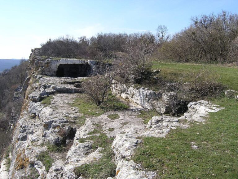
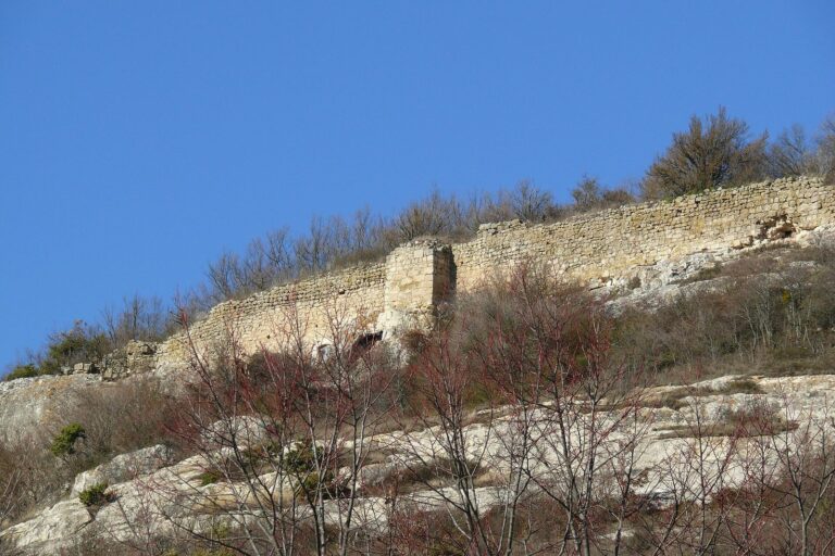
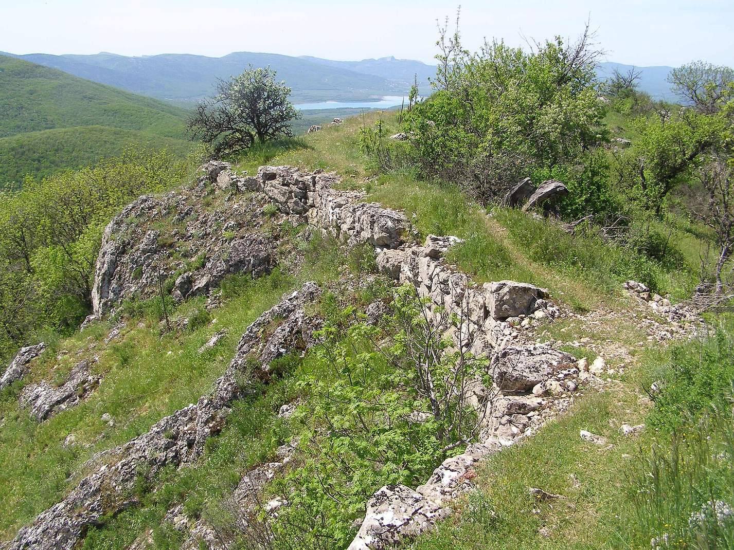
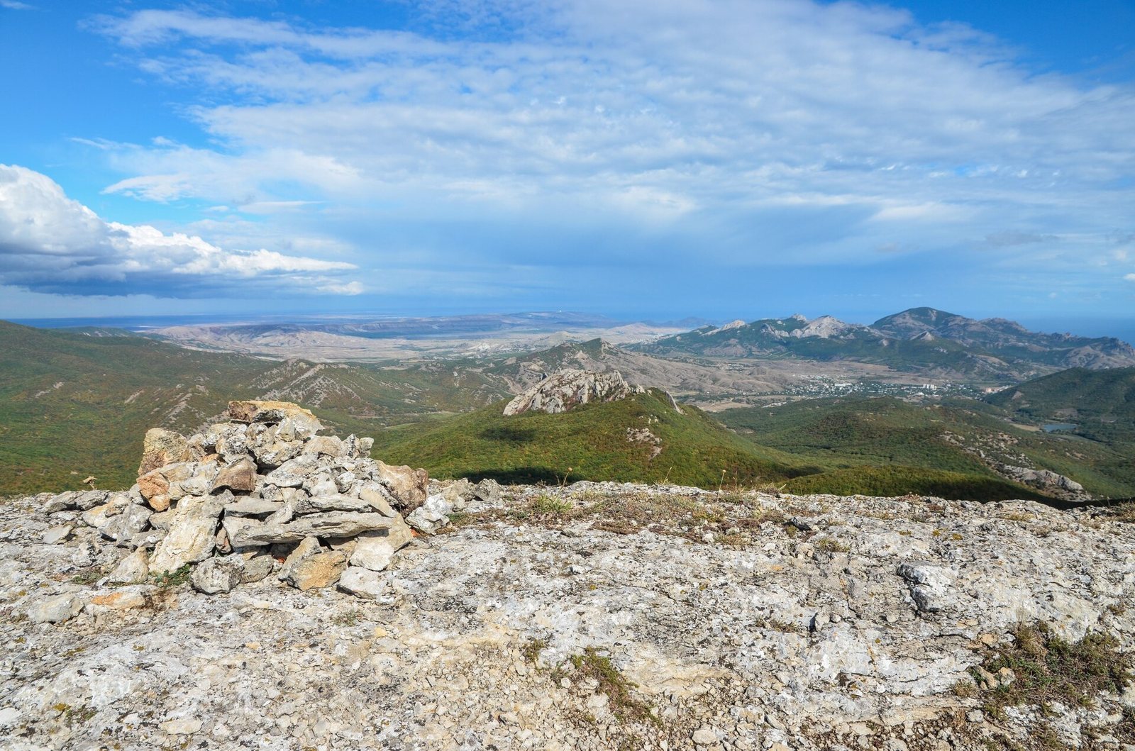
The fortress occupies a flat, isolated rocky summit, 837 metres above sea level, on the Kordon-Bair ridge, a western spur of the Ai-Petri mountain plateau. Its conventional name comes from the summit; sandyk means chest. The ruined site covers 2.38 hectares and measures about 390 by 120 metres. Steep cliffs form natural barriers, while defensive walls were built along the west and southeast sides.
Defences and internal structures
Walls and towers
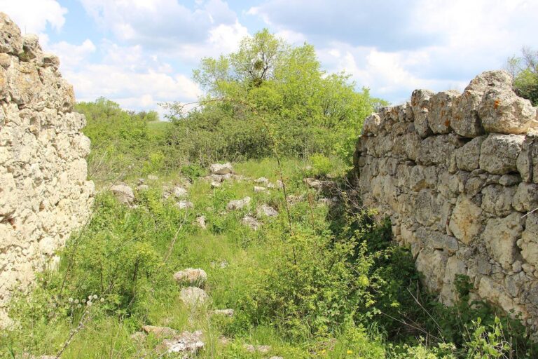
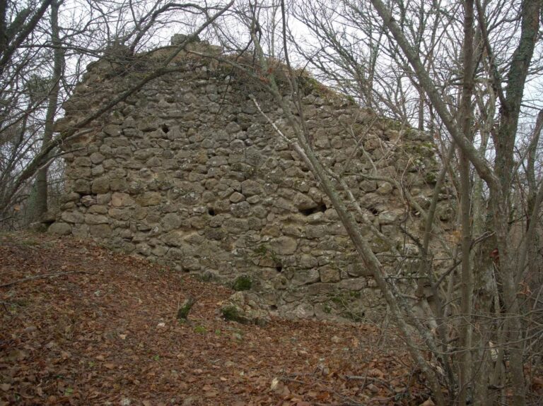
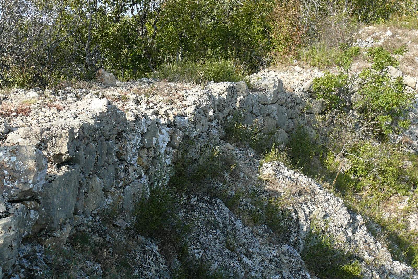
The defensive system comprised three lines of walls and six rectangular towers. Built from large rubble stone set in lime-and-sand mortar, the walls were about two metres thick and survive in places to a height of three metres.
Entrances and buildings
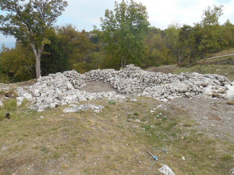
Entrances stood on the west and east sides, with the western one serving as the main approach. A wheeled road led to it, its wagon ruts cut into the rock. Near the entrance to the upper platform, a tower apparently served as the keep, the castle’s principal fortified tower. Buildings filled the interior closely, and some were quite large.
Northern necropolis
A small burial ground occupied the northern end of the rock. Its central chapel stood above a large tomb cut into the rock. One fortress tombstone bore a poorly preserved Greek inscription, published in 1967; its only legible element was a burial year, either 1429 or 1430.