Tepe-Kermen: A Cave Settlement and Fortified Refuge in Ukraine
Site at a Glance
- Popularity
- Medium
- Country
- Ukraine
- Primary era
- Medieval
- Eras represented
- Classical, Medieval
- Civilizations
- Byzantine
- Site type
- City
On this page11 sections
History
Tepe-Kermen is a cave settlement and former fortified refuge in Ukraine, where a community emerged in the fifth or sixth century. A fortress may have been built under the Byzantine administration of Chersonesus, a city in Crimea governed by Byzantium. Proposed dates for that construction range from the second half of the fifth to the early sixth century, or alternatively from the late sixth to the early seventh.
Settlement and refuge
In its early centuries, Tepe-Kermen served chiefly as a place where people from nearby valleys could shelter from enemy forces. Its use as a settlement dates back at least to the sixth century, and the fortified refuge remained in use until the tenth or eleventh century. Explanations of the caves’ origins differ. A theory first proposed in 1777 connects them with ancient peoples of the region.
Religious and urban development
From the second half of the seventh century, the site may have housed an archon, an administrative official associated with one of Dori’s military-administrative districts. By the eighth or ninth century, its principal basilica, a church organized around a central nave, had made Tepe-Kermen a religious center for the surrounding area. Another interpretation links the caves to Christian monks who sought refuge there from iconoclasm, opposition to religious images, during the eighth and ninth centuries.
Urban life expanded in the eleventh and twelfth centuries, as housing grew dense and Christian churches and monasteries were established. Tepe-Kermen reached its greatest prosperity in the twelfth and thirteenth centuries. Its decline is sometimes connected with the 1299 raid by Nogai, a military leader of the Golden Horde, a Mongol successor state that ruled much of the Eurasian steppe.
Tepe-Kermen is recognized as a cultural-heritage monument of federal significance in Russia and as a monument of national significance in Ukraine. The Ukrainian designation identifies the cave church as the protected feature.
Remains
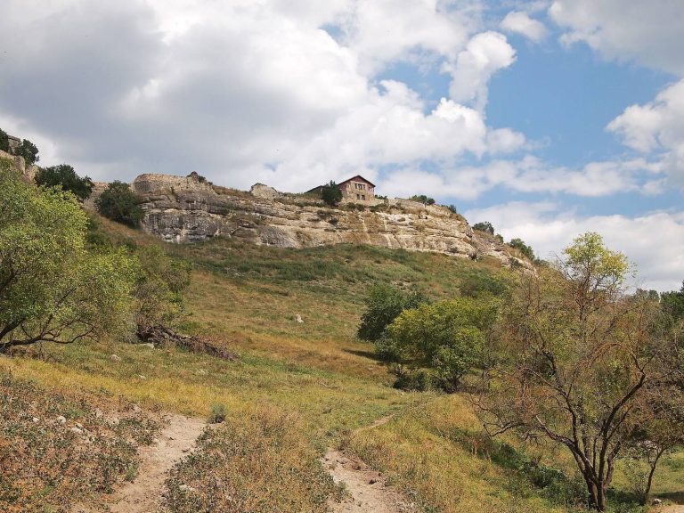
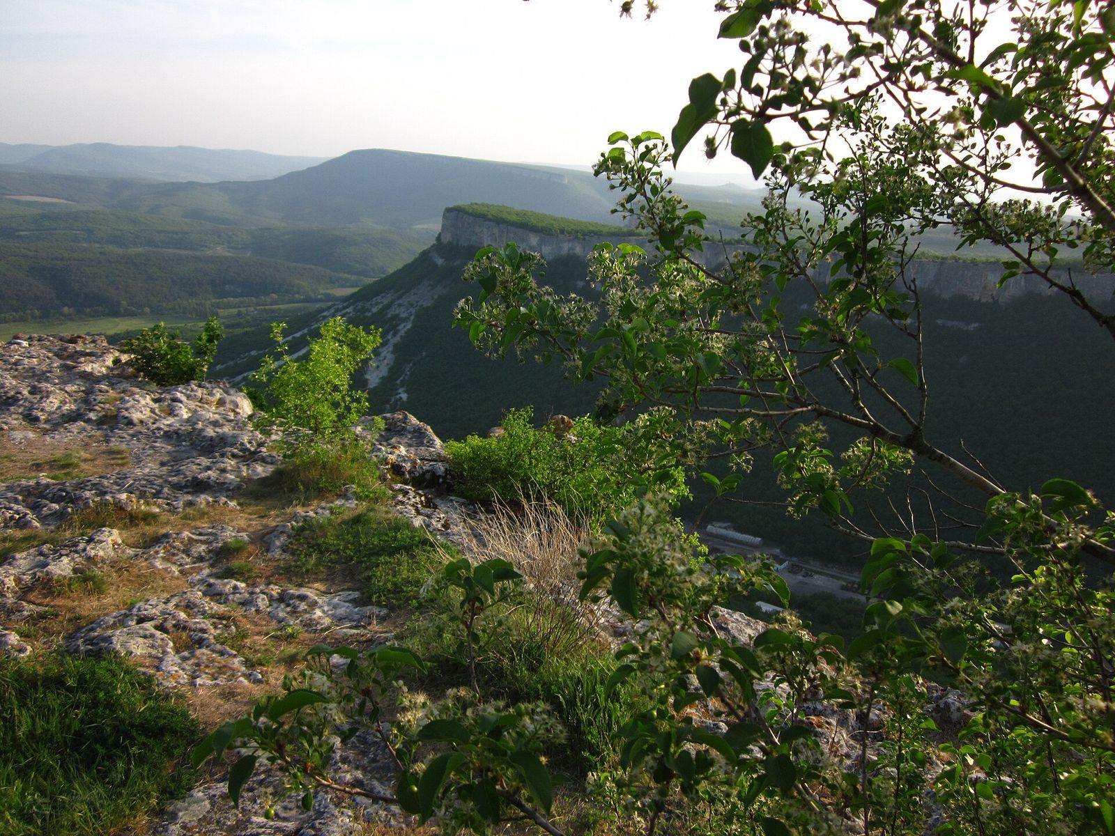
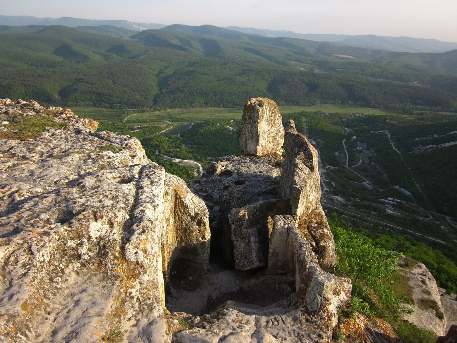
The remains extend across several levels of a steep-sided, flat-topped hill. Rock-cut spaces form the core of the settlement, among traces of dwellings, foundations, churches, and burials.
Summit layout and rock-cut spaces
Plateau and approach
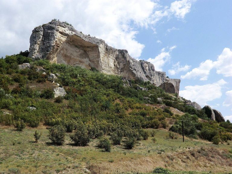
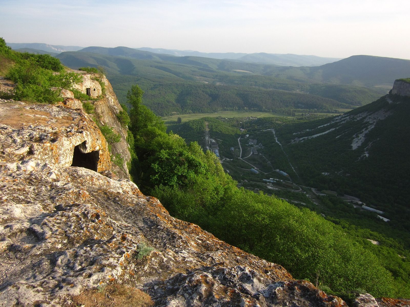
The settlement occupies the upper part of the hill, about 540 metres above sea level and roughly 225 metres above the surrounding valleys. Its fortified area covers about one hectare. Cliffs on the southern and western sides rise to 12 metres. The road approached from the north, and the entrance, cut into rock at the plateau’s northwestern end, is 2.5 metres wide.
Caves and domestic spaces
More than 230 artificial caves, with estimates reaching about 250, are distributed across the summit. Remains of dwellings and traces of foundations lie among the vegetation. Many caves with several rooms are thought to have served as cellars and animal shelters. Wall cuttings and rings point to animal keeping, storing provisions, and collecting water in cisterns; niches provided places for household objects. Springs lie at the foot of the hill.
Churches and burial features
Cave church with baptistery
In the western part of the settlement, a cave church with a baptistery, a space used for baptism, has a trapezoidal plan. It measures about 11 metres long and 4.5 to 5.3 metres wide. The church and baptistery occupy separate parts of the interior, whose arrangement runs roughly north to south across the usual altar-oriented axis. The altar takes up much of the central area.
A cross-shaped baptismal basin in the baptistery is reached by two steps. Two graves are set into the floor beside it, and a bench runs along the southern wall. Another burial is cut into the church’s western wall. An inscription above it says the grave was made at the person’s request and that an extension was made by Manuel, described as God’s pious servant. A further grave lies south of the altar.
A rock-cut barrier around the altar bears raised crosses. Three of its original six columns remain, with ornamented tops. They divide the interior into three sections: the right for men, the central for clergy, and the left for women. Since the church is carved into a cave, the columns are decorative rather than structural. The floor has a recess for the altar table, and an offering niche is cut into the northern wall.
The church’s arrangement for worship has led to a proposed date in the sixth or seventh century. Another interpretation assigns an eighth-century date to a cave temple on the mountain’s northwestern side. In the eighteenth century, Christians called the baptistery church the Temple of Saints Constantine and Helen, named for the Roman emperor who supported Christianity and his mother Helena, a Christian saint.
Church with the Sacristy
A second cave church, about 5 metres long and 2.5 metres wide, is known as the Church with the Sacristy. A sacristy is a room used to prepare for services and store liturgical objects. The church has a single apse, a recessed end space. Rock-cut wall niches may have held offerings or served clergy and the keeping of liturgical objects. A Greek inscription is cut into the end of the apse, and graves are cut into the floor.
Burials beside the baptistery church
At the edge of the plateau beside the baptistery church, nine graves and five burial chambers are cut into the rock.