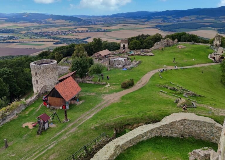
Hrad Šebeš: A Medieval Castle Ruin in Slovakia
Site at a Glance
- Rating
- 4.6
- Popularity
- Low
- Country
- Slovakia
- Primary era
- Medieval
- External website
- Open
- Eras represented
- Medieval
- Civilizations
- Hungarian
- Site type
- Military
- Remains
- Castle
On this page11 sections
History
Hrad Šebeš is a thirteenth-century castle ruin and archaeological site in Slovakia, situated above the village of Podhradík in the Slanské vrchy. Historically known as castrum Sebes and Sebeswar, the stronghold occupied a narrow hilltop and later became a Slovak national cultural monument.
Before the stone castle
An earlier property called Raven’s Dwelling, or Hulloudzalasa, stood at the site or preceded the castle. It had already been abandoned by 1285. The name was associated with the black habit of the relevant knightly order, and a wooden watch fort is therefore presumed to have occupied the location before the masonry castle was built.
Construction and ownership
At the beginning of the fourteenth century, the hill was known as Mačka and is now called Zámek. A royal donation charter issued in 1315 confirmed the knight Synek, son of Tomáš, in possession of his existing estates in the area, including the castle. The stone stronghold is presumed to have been built between 1307 and 1315.
Šebeš remained in the hands of Synek’s descendants until 1491, when King Vladislaus, a Hungarian monarch of the Jagiellonian dynasty, donated it to the city of Košice. Relations between the castle’s owners and the neighbouring city of Prešov were poor, and a dispute brought before a court in 1475 remained unresolved.
Destruction and abandonment
František Sebesi, the castle’s owner, later sent a delegation to the mayor of Prešov to seek a peaceful settlement. The mayor used the approach to invade and capture Šebeš. He had Sebesi and the castellan Geraki hanged at the castle gate and ordered the stronghold to be burned. The monarch subsequently removed the mayor from office and punished the inhabitants of Prešov.
Šebeš was not rebuilt after the burning. It declined into ruin during the sixteenth-century period of abandonment, with its destruction placed in 1550. The site lies within the cadastral territory of Podhradík and remains an archaeological locality.
Remains
Layout and setting
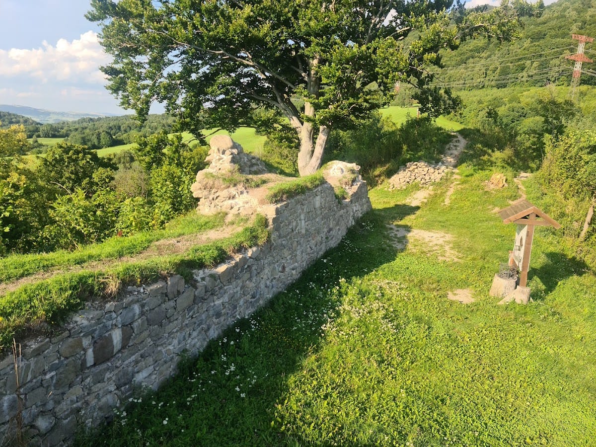
The masonry castle occupied a steep rocky spur approximately 8 metres wide and 60 metres long. A perimeter wall followed the edge of the castle plateau, enclosing the fortified summit. The hill stands at 529 metres above sea level above Podhradík, while the Šebastovka stream flows below its southeastern side.
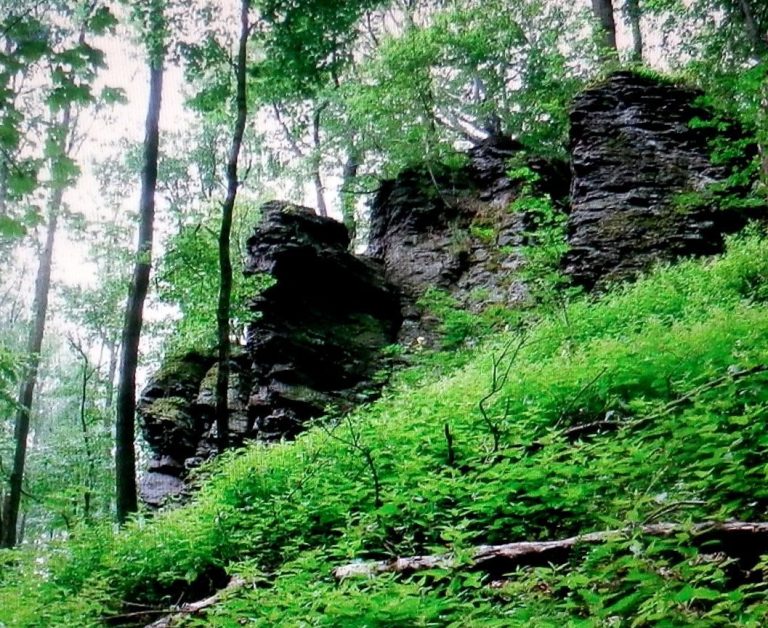
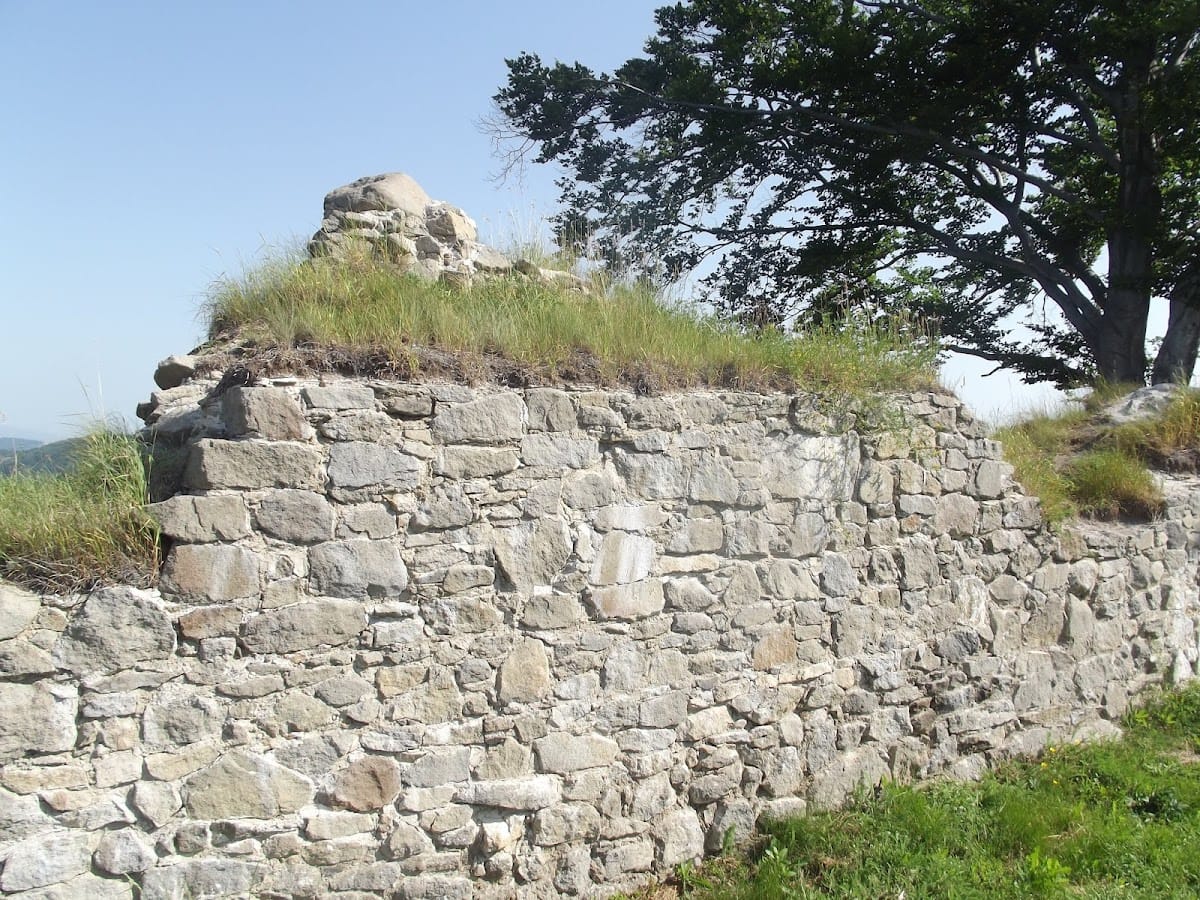
The castle hill is now densely overgrown with forest flowers, shrubs, and trees. Slight surviving traces on the summit are difficult to distinguish among the numerous rocks. A steep, vertical rock face on the eastern side resulted from stone extraction at a former quarry.
Defensive works
Neck ditch and perimeter wall
The gentler eastern approach was protected by a rock-cut neck ditch, a transverse trench across the connection between a fortified spur and the surrounding terrain. It measured 8 to 10 metres wide and 5 to 6 metres deep. The perimeter wall ran along the edge of the plateau, while the ditch restricted access to the stronghold.
Circular tower
On the western side, a circular tower stood 5 metres from the edge of the spur in the direction of approach. It measured 5 metres in diameter, and its walls were 1.5 metres thick.
Residential palace
A residential palace occupied the eastern part of the spur beside the neck ditch. The building measured 9 by 6 metres. Its western wall also functioned as the defensive wall above the castle entrance, with the neck ditch positioned 21 metres beyond it.
Northeastern rampart
A rampart fortification occupied the northeastern part of the castle. A rampart was an earthen or rubble defensive embankment, sometimes strengthened with additional structures.