Forte da Ínsua: A Portuguese Coastal Bastion Fort and Monastery


Site at a Glance
- Rating
- 5
- Popularity
- Very Low
- Country
- Portugal
- Primary era
- Early Modern
- Eras represented
- Medieval, Early Modern
- Civilizations
- Portuguese
- Site type
- Military
- Remains
- Fort
On this page11 sections
History
Forte da Ínsua is a Portuguese coastal fortress and former Franciscan monastery on Ínsua de Santo Isidro, near Caminha, Portugal. The present fortification was built between 1644 and 1652 during the War of Restoration, Portugal’s struggle to recover independence from the Spanish Habsburg monarchy after 1640, under King John IV. It protected the mouth of the Minho and the religious community established on the island.
Religious foundation and early defenses
Ínsua de Santo Isidro first served as a place of worship. During the Christian period, a small chapel or hermitage dedicated to Our Lady of Ínsua was built there. In 1392, Franciscan friars from Galicia, led by Friar Diogo Arias, founded a monastery on the island. At the same time, King John I ordered a first fortification to defend the river mouth and the religious community against pirates.
The monastery was renovated in 1471, when new cells were added and the chapel was improved. During his pilgrimage to Santiago in 1502, Manuel I ordered further work, completed in 1512. Later renovations under Philip I adapted the stronghold for artillery in response to attacks by English and French privateers. None of these early defenses survives.
The War of Restoration fort
The existing fort belongs to the War of Restoration. Dom Diogo de Lima Nogueira, Governor of Arms of Minho, ordered its construction during John IV’s reign. The monastery was enlarged in 1676, extending the religious establishment within the new military enclosure.
During the eighteenth century, the monastery and fort underwent repeated repairs. In 1717, John V provided 200,000 reis for work on the church and its vaulted ceiling. In 1767, builders added cells and a chapter room, and installed an altarpiece. The friars temporarily left the island between 1793 and 1795 while renovation work was completed. In 1765, the fort had a garrison of ten men and seven bronze cannon.
Military use and modern conservation
Spanish and French troops occupied Ínsua during the Peninsular War, the conflict in which British, Portuguese, and Spanish forces fought Napoleonic France in the Iberian Peninsula. After Portugal abolished the religious orders in 1834, the religious community abandoned the fort, which thereafter was occupied exclusively by the Portuguese Army. Major Rodolfo José Gonçalves, the last governor of the base, was appointed in 1909.
Forte da Ínsua became a National Monument in 1910. Responsibility passed from the Ministry of the Navy to the Ministry of Finance in 1940. Conservation campaigns took place from 1954 to 1957, 1967 to 1975, 1984 to 1986, and 1998 to 2001. In 1990, the Polytechnic Institute of Viana do Castelo proposed an Advanced Research Center for the marine areas of the coast and the Minho. The property entered Portugal’s Revive programme in 2016, and a concession was granted to DiverLanhoso Lda. in 2020.
Remains
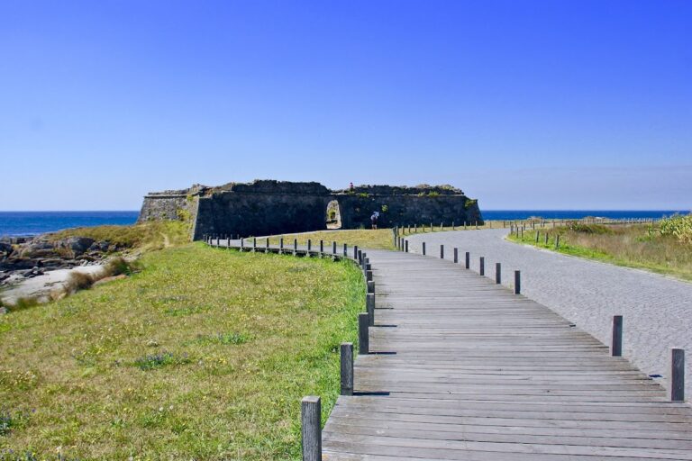
Forte da Ínsua occupies a small island a few hundred metres west of the Portuguese coast, south of the Minho’s mouth. The island measures approximately 600 by 250 metres, rises only a few metres above sea level, and consists largely of granite cliffs. A small sandy beach on the eastern side provides a landing place for boats. The fort’s irregular, roughly star-shaped plan measures about 90 by 100 metres, while its interior is nearly square, at approximately 50 by 55 metres.
Coastal defenses
Bastion enclosure
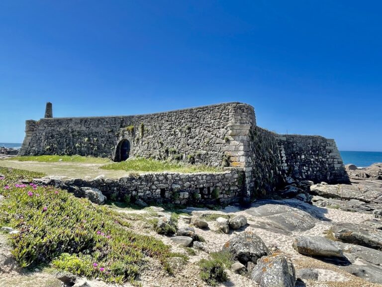
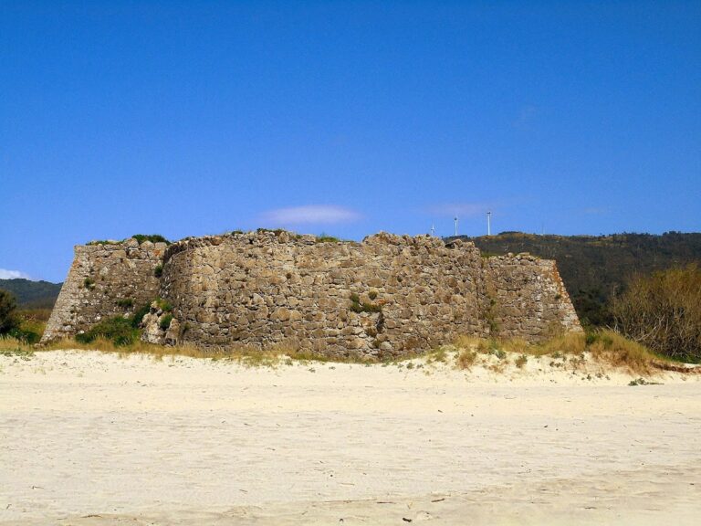
The fort is a bastion fort, an artillery-oriented design whose projecting angular bastions allow defensive fire along the wall faces. Five bastions and a ravelin shape the defenses. The northern and western bastions, together with the southern and eastern half-bastions, enlarge the central enclosure. Their flanks meet the curtain walls at nearly right angles rather than being recessed. An intermediate bastion without flanks gives additional protection to the middle of the southeastern curtain wall.
Entrance and ravelin
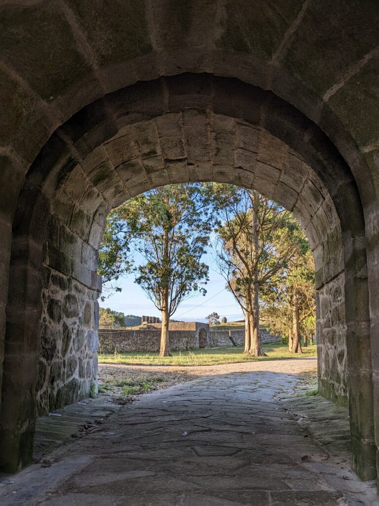
A ravelin, a detached triangular defensive work placed before a wall or gate, stands in front of the northeastern curtain wall. It protects the small beach, the principal entrance, and the island’s freshwater source. The main gate is set within a raised rectangular arch crowned by a triangular pediment. Three coats of arms appear in its tympanum, including those of Portugal and the governors. A rectangular balcony carried on corbels has a similar roof covering.
A stone inscription beside the gate is dated 1650. It records the fort’s dedication under John IV, through the intervention of Diogo de Lima Nogueira, to Our Lady of Ínsua, for the shelter and defense of clergy belonging to the First Seraphic Rule, the Franciscan tradition associated with Saint Francis of Assisi.
Interior and monastery
Military area
The stronghold is divided into two principal areas. A broad paved parade ground occupies one part and contains the barracks, storage buildings, and kitchen. Accommodation, administrative rooms, and supply structures stand directly against the fortification walls because the monastery takes up much of the interior.
Monastic complex
The monastery is enclosed from the military complex by its own monastic wall and has a sober, austere form. Its buildings include a longitudinal church with a single nave covered by a barrel vault, a sacristy, and a quadrangular cloister. The cloister wings are formed by Ionic colonnades.
A well or freshwater source on the island provides fresh water despite the surrounding sea. It is described as one of only three such sources in the world.