Forte da Lagarteira: A Portuguese Maritime Fortification at Vila Praia de Âncora
Site at a Glance
- Rating
- 4.3
- Popularity
- Low
- Country
- Portugal
- Primary era
- Early Modern
- External website
- Open
- Eras represented
- Early Modern
- Civilizations
- Portuguese
- Site type
- Military
- Remains
- Fort
On this page7 sections
History
Forte da Lagarteira, also called Forte de Âncora, is a Portuguese maritime fortification at Vila Praia de Âncora, Portugal. Built as part of Portugal’s late 17th-century coastal defences, it protected the port and fishing settlement at the mouth of the River Âncora and supported the defence of the fortified town of Caminha.
Construction under Pedro II
The fort is sometimes associated with the Portuguese Restoration Wars, the conflict through which Portugal regained and secured its independence from the Spanish Habsburg monarchy after 1640. Its construction is more accurately connected with the reign of Pedro II, king of Portugal from 1683 to 1706, when frontier and Atlantic coastal defences were reinforced. Engineer Bastos Moreira gave 1690 as the construction date, and work on Forte da Lagarteira began that year.
The fort formed part of a wider defensive programme along this section of the coast. Forte do Cão at Gelfa covered the mouth of the River Âncora, while Forte da Lagarteira protected the port north of the settlement. Forte de Montedor and Forte da Areosa were also built in the same period and region.
Earlier setting and local tradition
Human occupation at the mouth of the River Âncora is believed to have begun before the Roman invasion of the Iberian Peninsula. The area later acquired importance during the Roman period through regional mineral extraction.
A local tradition connects the name Âncora with the drowning of Queen Urraca, a medieval royal figure associated with the Kingdom of León. According to the story, her husband, Ramiro II of León, punished her for adultery by having her drowned in the river with an anchor tied around her neck.
Administration, conservation, and new use
Forte da Lagarteira was transferred to the Ministry of the Navy on 16 November 1939. Conservation work began in 1955 under the Directorate for Construction and Conservation Services. Consolidation and improvement followed in the early 1980s, with further improvements and conservation in 1997. The fort’s spaces were electrified after 1997.
A decree of 24 January 1967 incorrectly placed the fort in the municipality of Viana do Castelo. A rectification issued on 10 March of the same year corrected its location to the municipality of Caminha. The fort has been classified as a Property of Public Interest since 1967. In 2025, a recovery and enhancement project created the Espaço de Memórias do Mar de Vila Praia de Âncora, a museum dedicated to the maritime cultural and natural heritage of the Caminha coast and to the historical importance of the sea to Vila Praia de Âncora.
Remains
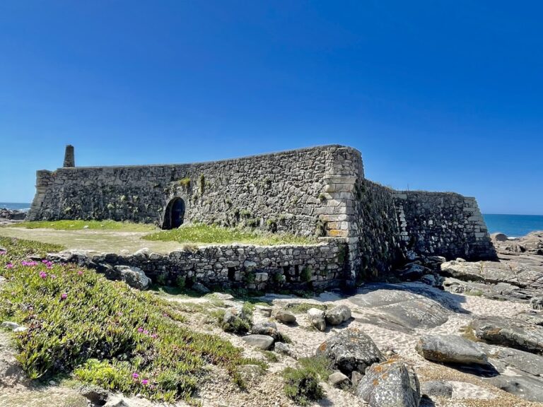
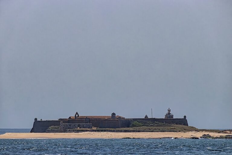
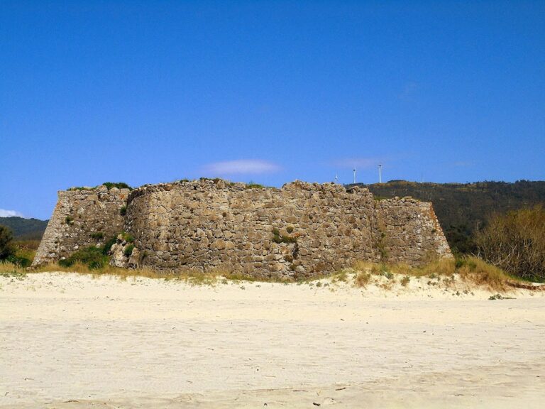
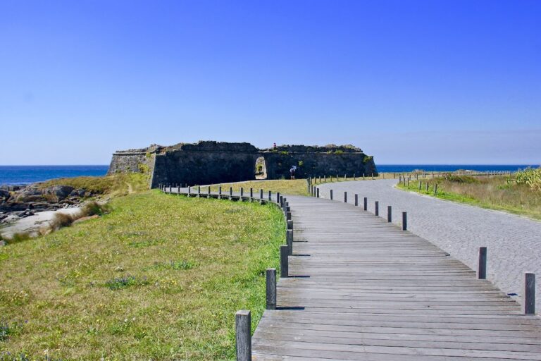
Forte da Lagarteira occupies a rocky elevation on the right bank of the River Âncora estuary, beside the port and above the beach, in the area historically known as Lagarteira. It is a small granite fortification with a polygonal, star-shaped plan. Its walls follow the rocky coast, and a curved parapet with battlements encloses the perimeter.
Outer defences and artillery positions
The plan includes four lateral bastions, projecting parts of a fortification that allow defensive fire along adjoining walls, together with a projecting battery, or fortified artillery position, on the river side. Cannon positions run along the battery, while old artillery pieces remain visible in its embrasures, the openings through which guns could fire.
The corners have faceted bartizans, projecting fortified sentry structures, set on plinths and finished with circular roofs. The northern bastion has a closed balcony wall described as characteristic of medieval designs, together with drainage outlets.
Entrance and interior buildings
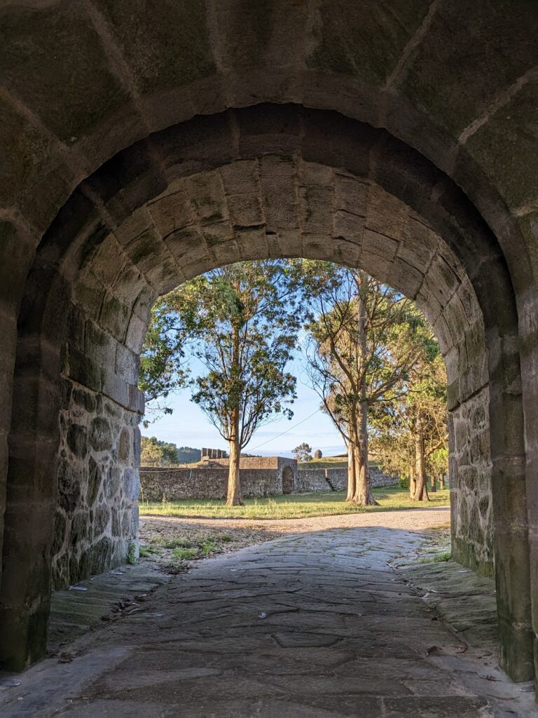
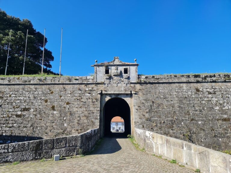
The central front has an arched entrance portal. Above it are the Portuguese royal arms, flanked by volutes. Within the fort, a small square is framed by three roofed buildings. These structures have single-pitched tiled roofs, and ramps lead to the chemin de ronde, the protected walkway along the top of a fortification wall, as well as to the rooftops.
The barracks contain vaulted ceilings and fireplaces. Conservation and improvement works have helped consolidate the fort, while electrification after 1997 enabled its spaces to be illuminated.
Nearby sites