Castell de les Escaules: A Late-Medieval Frontier Castle in Spain

Site at a Glance
- Rating
- 4.5
- Popularity
- Low
- Country
- Spain
- Primary era
- Medieval
- External website
- Open
- Eras represented
- Medieval
- Civilizations
- Crown of Aragon
- Site type
- Military
- Remains
- Castle
On this page7 sections
History
Castell de les Escaules is a late-medieval castle in Spain, probably built in the fourteenth or fifteenth century over an earlier structure in the vernacular architectural tradition. Its position formed part of a frontier network between the medieval Catalan counties of Besalú and Empúries, giving the site a role in monitoring this border zone.
Earlier Castle and Frontier Control
A castle on the same site was recorded in 1123, when Ramon Berenguer III, count of Barcelona, granted several castles as fiefs, or territorial rights held in return for allegiance and service, to Ponç Hug I of Empúries. This followed the disappearance of the comital house of Besalú. The castle was also known as the bulwark of Llers Castle. Both strongholds belonged to the viscounts of Rocabertí of Peralada, a noble family whose holdings included castles controlling the frontier between Besalú and Empúries.
Jurisdiction, Repairs, and Abandonment
In 1436, the inhabitants of Les Escaules were ordered to take part in repairs to the fortification. They refused, and the dispute was entered into the records. During the fifteenth century, the community also tried to separate from the jurisdiction of Llers by seeking its own bailiff and council. This effort was unsuccessful until the seventeenth century. In support of its claim, the community argued that the Rocabertí viscounts had held Les Escaules Castle before acquiring Llers Castle in the thirteenth century.
The castle disappears from documentary records from the sixteenth century onward and is therefore believed to have been abandoned during that period. It was listed as a monument in 1949 and received Spain’s Cultural Asset of National Interest designation in 1988. These protections recognize the site as a historic monument.
Remains
Summit and Defensive Layout
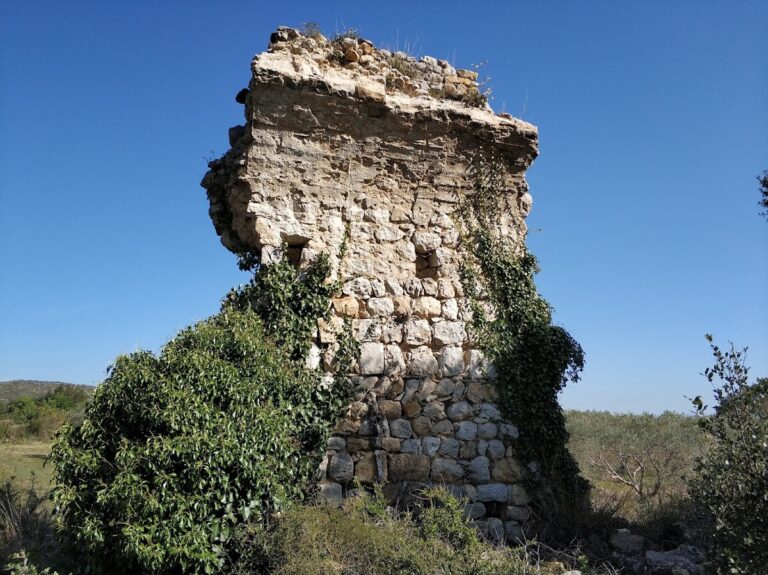
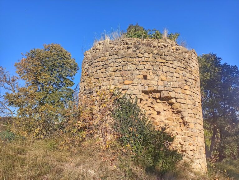
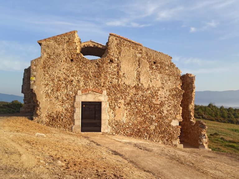
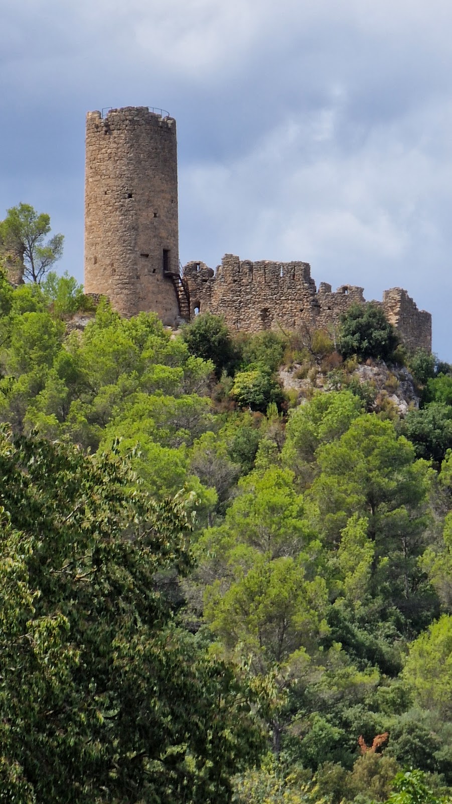
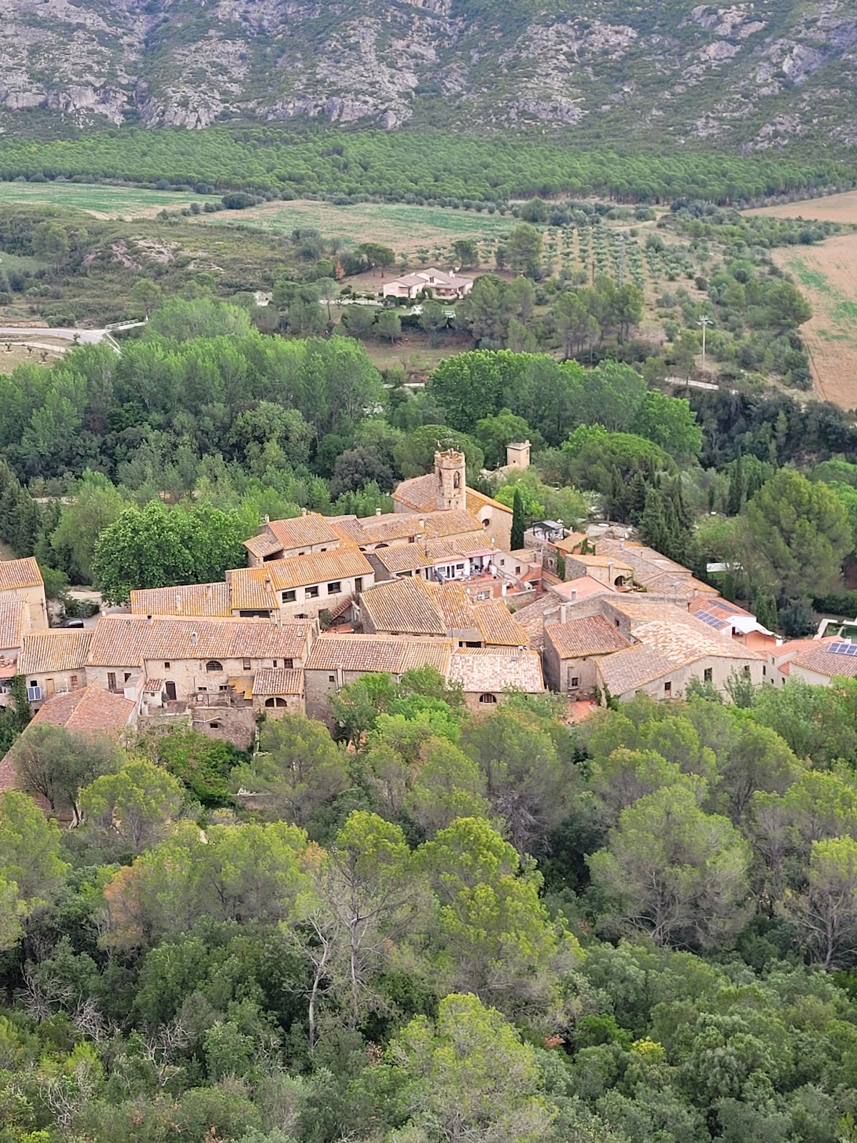
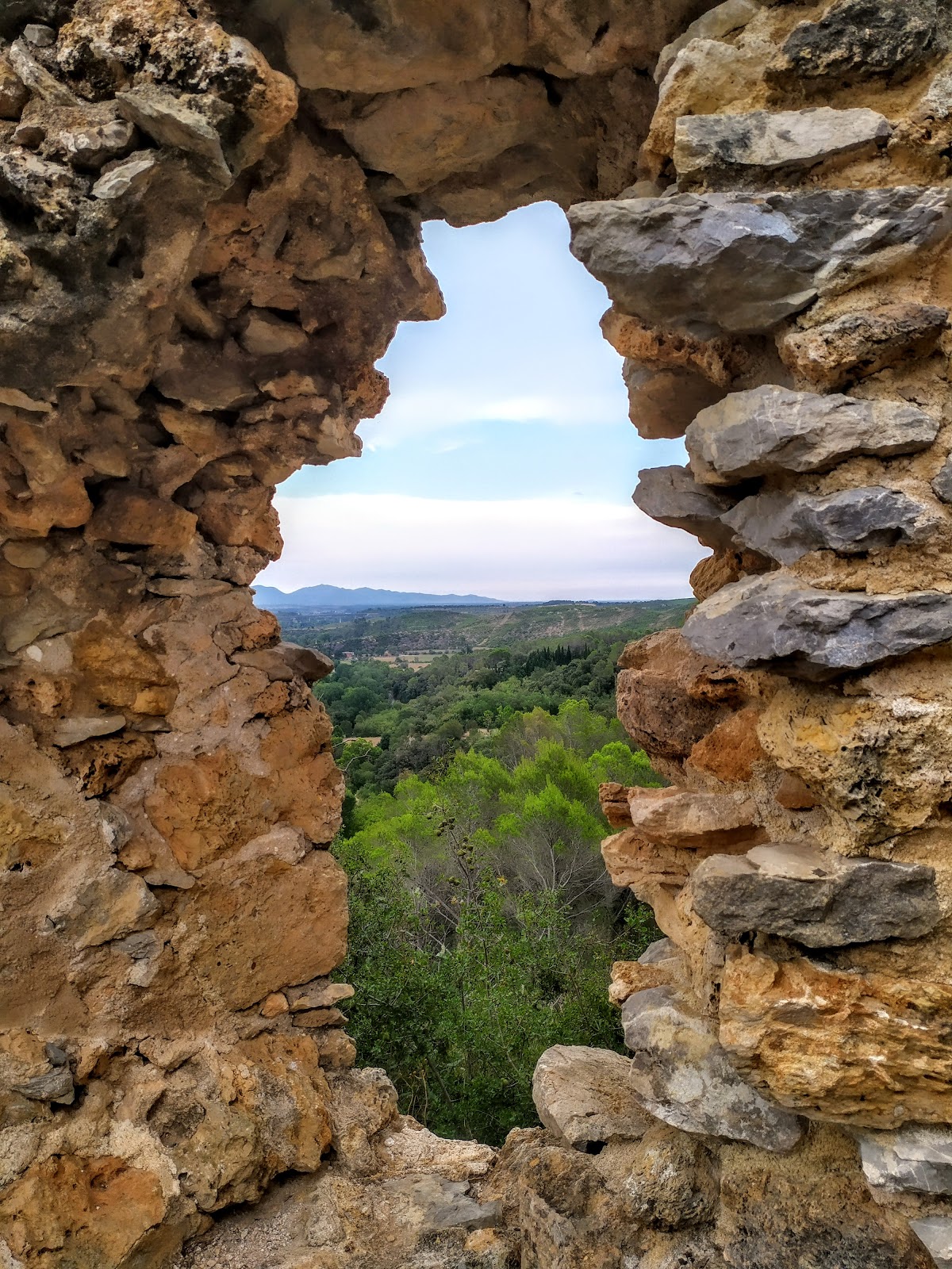
The castle occupies a rocky summit at about 235 metres above sea level, southwest of the village. Its surviving layout consists of a standing cylindrical tower and the ruins of a roughly trapezoidal walled enclosure. The walls follow the uneven and unstable ground of the hill. Their construction uses roughly dressed and undressed stones laid in regular courses and bonded with lime mortar, reflecting the site’s popular or vernacular architectural character.
Cylindrical Tower
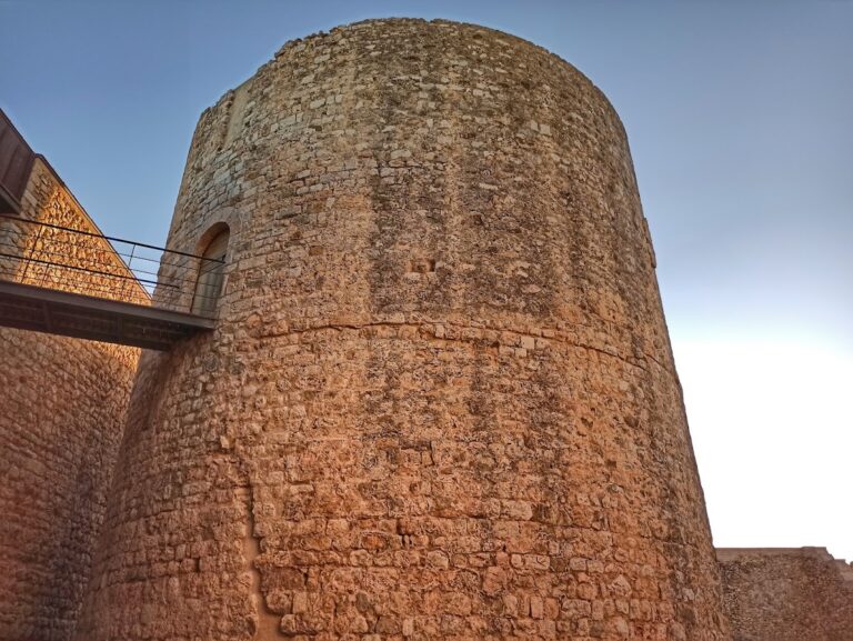
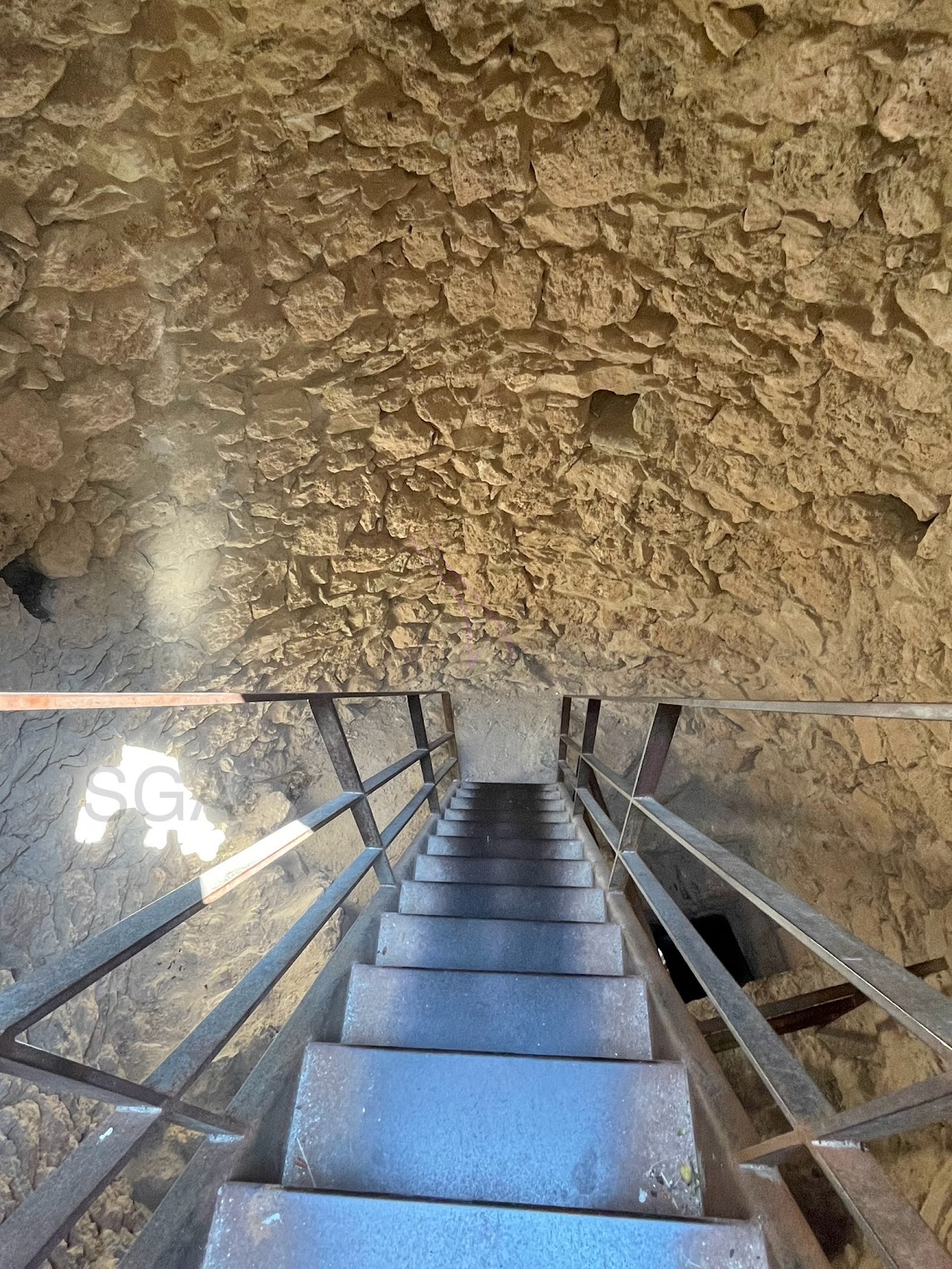
The cylindrical tower still rises approximately 10 metres and contains several storeys. Its rectangular entrance is set on the northeast side, about three metres above ground level, and retains the stone sockets that held the door’s pivots. A stone staircase connects the levels, which were originally covered by hemispherical vaults, or dome-shaped ceilings forming roughly half a sphere.
At the top, corbels supported four machicolations, projecting defensive openings through which defenders could attack people below. The remains of the original crenellated parapet survive in a degraded condition. The tower is built from well-dressed stone blocks arranged in regular courses.
Walled Enclosure
The enclosure is substantially ruined, particularly along its northern and eastern sides. Its walls contain loopholes at two levels, while the western wall preserves sections of rectangular crenellations with arrow slits cut through their centres. Putlog holes and other openings correspond to the roofs of buildings that once stood inside the enclosure.
Additional walls and structures remain within the enclosure, including a partly buried cistern, a masonry reservoir for collecting or storing water. Together, these features preserve the defensive boundary and some of the arrangements that supported occupation within the castle.