Burgstall Hoheneck: A 12th-Century Tower Castle Site in Bavaria
Site at a Glance
- Popularity
- Very Low
- Country
- Germany
- Primary era
- Medieval
- Eras represented
- Medieval
- Civilizations
- Duchy of Bavaria, Holy Roman Empire
- Site type
- Military
- Remains
- Castle
On this page8 sections
History
Burgstall Hoheneck is a former castle site near Oberfischbach in Wackersberg, Bavaria, Germany. It originated in the 12th century as a tower castle, a fortification whose principal structure was a tower.
Origins and the Hohenburg family
The first mention of Hoheneck dates to around 1155. Adalbero and Richer, members of the Hohenburg family, named their family branch after the castle. In 1172, Rickher of Hoheneck took part in Henry the Lion’s crusade. Henry was a 12th-century German prince who held the duchies of Saxony and Bavaria. Rickher probably died during the expedition.
Abbey ownership and later transfers
In 1257, the castle passed to Tegernsee Abbey, a Benedictine monastic house in Bavaria. It was probably abandoned during the 14th century. An exchange in 1394 describes Hoheneck as a castle site. Otto von Pienzenau transferred it, along with the former castle at Reichersbeuren, now a palace, to Duke Stephan III of Bavaria in return for Hartmannsberg Castle. Stephan III was a late-medieval Bavarian ruler of the Wittelsbach dynasty.
In 1578, Hoheneck was owned by Hörwart von Hohenburg.
Legend and place-names
A local legend connects the castle’s downfall to a fire. It tells of two sisters who lived there, one blind. After the sighted sister cheated her out of gold revenues, the blind sister angrily knocked over a candlestick. The resulting blaze, according to the tale, burned the castle and brought about its destruction. The names Bürg, Burgstein, and Hoheneck recall the castle.
Remains
Hilltop layout and defenses
Natural spur and earthworks
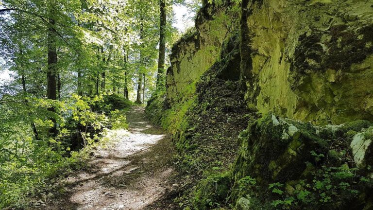
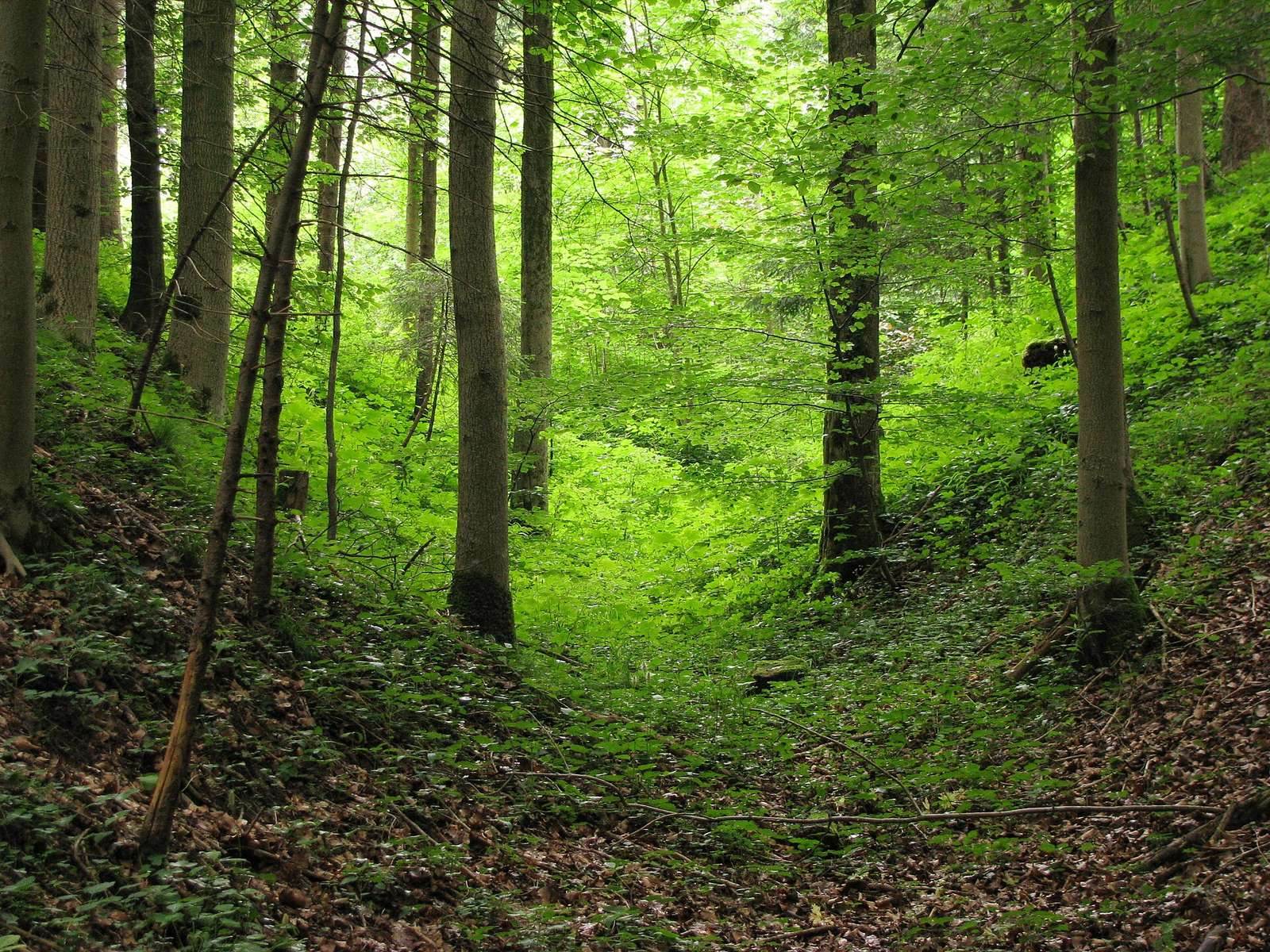
The tower castle occupied a natural spur at the edge of the Isar’s eastern high bank, 665 metres above sea level. The site lies about 175 metres north-northeast of Peterbauer and west of the Tölz Isar reservoir. A deep incision formed by the Peterbauernbach defines the spur’s southern edge. Staggered ditches and ramparts survive on all sides, with the ditches reaching up to 6 metres deep.
Central rise
A slight rectangular rise, about 12 by 14 metres, is visible at the centre of the site.