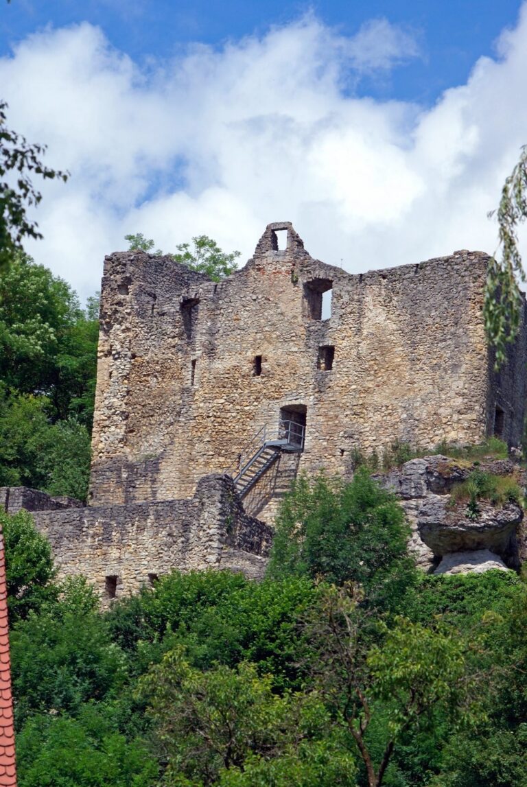
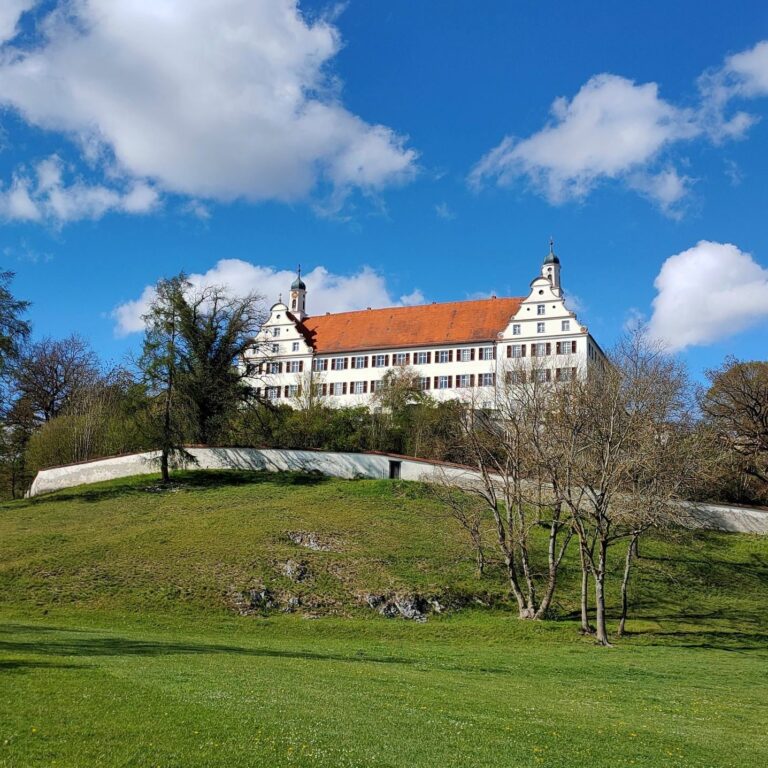
Granheim Castle: A Medieval Castle Site in Germany
Site at a Glance
- Rating
- 4
- Popularity
- Low
- Country
- Germany
- Primary era
- Medieval
- Eras represented
- Medieval
- Civilizations
- Holy Roman Empire
- Site type
- Military
- Remains
- Castle
On this page6 sections
History
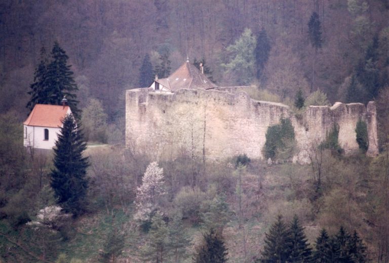
Granheim Castle is a medieval hilltop fortification site on Schlossberg in Granheim, now part of Ehingen in Baden-Württemberg, Germany. It is broadly dated to 1200–1300, and by 1246 the site was already a former castle site.
Records and Gundelfingen lordship
Granheim appears as Granhaim in records of the 11th century and as Graneheim in 1208. Local nobles are known from 1208 to about 1250. They probably served first as dependent retainers of the Lords of Steußlingen, then of the Lords of Gundelfingen; such retainers could hold land from their lords.
In 1246, Swigger of Gundelfingen placed the local castle, possibly a predecessor of Schloss Granheim, and the castle site under the feudal authority of Reichenau Abbey, a Benedictine monastery on Lake Constance. This was a landholding relationship in which property was held from a lord. Around 1250, a Maisenburg-Granheim line of the Gundelfingen family formed, and its members probably lived at one of their castles. The Gundelfingen family died out after 1368.
Later ownership and territorial change
Granheim passed through the Gundelfingen heirs to the Counts of Helfenstein, then to the Woellwarth family in 1407 and the Speth family in 1415. The Speths also acquired holdings belonging to the Bichishausen noble family and gradually came to hold the whole locality. Granheim’s knightly estate belonged to the Danube canton, a regional association of the Swabian Imperial Knights, nobles who held estates in the area. The estate passed to Württemberg in 1805.
Remains
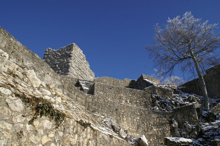
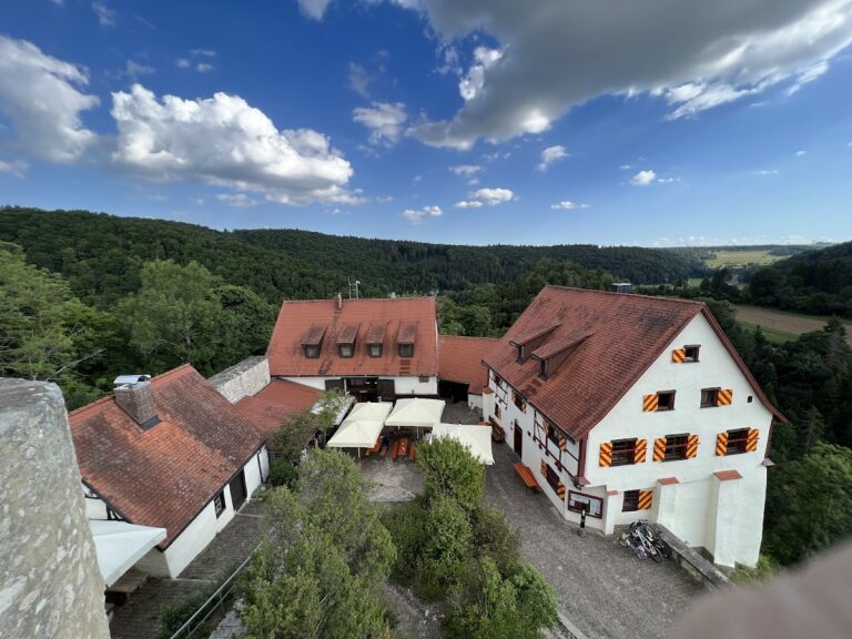
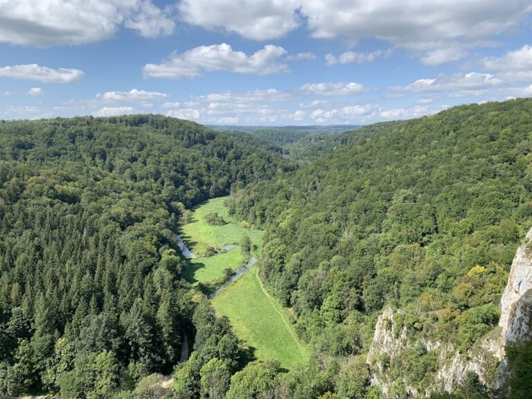
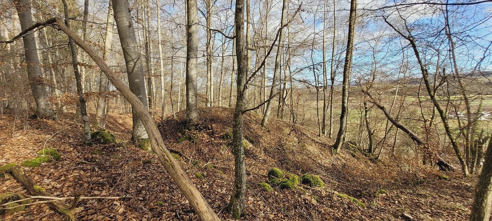
The site lies on a projecting ridge at 745 metres on Schlossberg, behind Schloss Granheim at the edge of Granheim. Its layout comprises a small enclosure beside a steep, rocky slope and a raised plateau to its northwest. A defensive ditch and bank, together with the artificially raised ground, shape the surviving terrain.
Enclosure and defensive ditch
The small enclosure has a U-shaped plan and sits at the edge of the steep slope. It opens slightly toward the slope, while its arms, each a little over seven metres long, spread slightly toward the valley. The uphill side is just over five metres wide, and the ground falls about four metres from west to east. A defensive ditch cut across the approach to higher ground is about four to five metres wide and 1 to 1.5 metres deep. Earth removed to form it was piled into a bank on the south side.
Raised plateau
Above and northwest of the enclosure is a small, artificially raised plateau. A roughly square hollow about five metres across may mark a building, possibly a tower. The ground may have been reshaped in modern times.