Burg Cloppenburg: A Medieval Water Castle in Germany
Site at a Glance
- Rating
- 4.3
- Popularity
- Very Low
- Country
- Germany
- Primary era
- Medieval
- Eras represented
- Medieval
- Civilizations
- Holy Roman Empire
- Site type
- Military
- Remains
- Castle
On this page11 sections
History
Origins and Tecklenburg rule
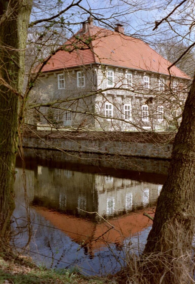
Burg Cloppenburg was a medieval water castle in Cloppenburg, Germany, developed around 1297 under Count Otto III of Tecklenburg to secure the northern part of his territory. It began as a moated fortified house established in the first half of the 13th century on a farm at Hemesburen, near Krapendorf in the Soeste lowland. Before 1297, this was replaced by a water castle. On 5 January 1297, a land exchange referred to the fortification. A delegated official with administrative or judicial authority served there that year, reflecting its administrative role.
Transfer to Münster and expansion
In 1393, an alliance of the bishops of Münster and Osnabrück and the cities of Münster and Osnabrück captured Cloppenburg and other castles in northern Tecklenburg. On 28 December 1396, the castle passed to Otto IV of Hoya, Bishop of Münster, after Bishop Dietrich of Osnabrück ceded his share. Count Nikolaus II of Tecklenburg later relinquished his claim, and the territory entered the Lower Bishopric of Münster, a territory within a prince-bishopric where a bishop held both religious authority and secular rule.
Between 1400 and 1411, Otto IV expanded the castle according to a regular fortified plan, often rectangular in form. The work appears to have remained unfinished. The castle became the seat of a territorial administrator and the administrative center of the District of Cloppenburg, a local administrative unit.
Defensive changes and destruction
The castle’s defenses had expanded by the middle of the 15th century. They were altered again in 1547, and the outer rampart was removed in 1569. On 24 August 1716, a major fire destroyed the castle buildings. In 1805, the surviving tower was blown up, and an administrative office building was erected partly on the former castle foundations. A local court building followed on the castle grounds in 1909.
Parts of the site were investigated archaeologically in 1959, and the outer enclosure was examined in 1987.
Remains
Layout and defenses
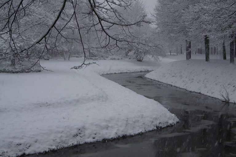
The lowland castle stood immediately south of the Soeste, at about 40 metres above sea level, and extended up to 200 by 180 metres. Two water-filled moats and a substantial inner defensive bank protected the site; the Soeste supplied the outer ring moat. The defenses also included two enclosures and a stone wall around the moat.
Castle structures and archaeological features
Round tower
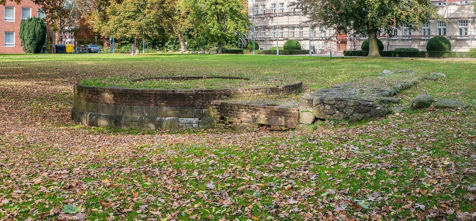
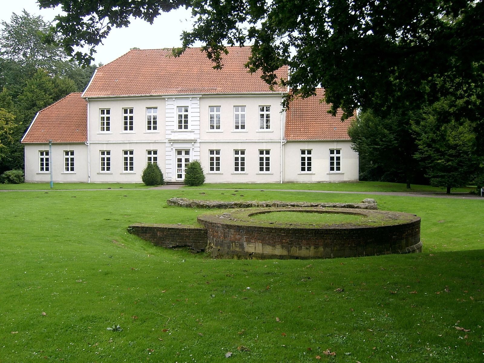
The exposed, restored foundations of a large round tower are visible in the city park. The tower formed the southwest corner of the castle’s regular fortified plan. It measured 9.70 metres across, with walls 2.50 metres thick. Its foundation rested on a timber framework supported by piles, topped with a sandstone base; the masonry above ground was brick. The foundations were restored in 1984.
Principal residential building
The castle’s principal residential building adjoined the tower to the east and was built of boulders. Its eastern wing can be discerned in the regional court building, which stands on the foundations of that wing.
Western entrance and outer enclosure
Access was from the west by a drawbridge and probably through a defensive gate enclosure. The outer fortified enclosure to the southwest measured 50 by 60 metres and was bounded by a boulder wall one metre thick. It appears to have contained a single building.
Earlier building foundation
Excavations in the southwest corner also uncovered a timber foundation framework supported by piles, belonging to an earlier building.