Broch of Gurness: An Iron Age Tower and Settlement in Orkney
Site at a Glance
- Country
- United Kingdom
- Primary era
- Iron Age
- Eras represented
- Iron Age, Classical, Medieval
- Civilizations
- Unclassified
- Site type
- Military
- Remains
- Fortified Town
On this page15 sections
History
The Broch of Gurness is an Iron Age settlement at Aikerness in Evie, on Mainland Orkney in the United Kingdom, centered on a broch, a circular drystone tower associated with Iron Age Scotland. Its central tower dates to the second or first century BC and served a substantial community.
Settlement and tower
People began settling at Gurness between 500 and 200 BC. The tower may have been occupied by the leading family or clan in the area and could have served as a refuge for the village during an attack. Its underground cistern may have had religious meaning connected with an Iron Age “cult of the underground,” a proposed set of beliefs or practices associated with subterranean places.
Roman amphora fragments found at the site may relate to the possibility that an Orkney king submitted to the Roman emperor Claudius at Colchester in AD 43.
Decline and later occupation
The tower continued in use as it began to collapse. During this phase, the cistern was filled and the interior divided into new sections. After AD 100, the broch was abandoned and the ditches were filled. Settlement continued into the fifth century, when people reused some of the tower’s stones for smaller homes built over earlier structures. By about the eighth century, the site had become a single farmstead.
After the older complex fell into disrepair, Picts, a people prominent in northern Britain in late antiquity and the early medieval period, built Shamrock House over its ruins. Norse burial activity represents another later use of the site.
Rediscovery and care
Orkney artist, poet, and naturalist Robert Rendall identified the structure as a broch in 1929. The Ministry of Public Building and Works excavated the complex in the late 1930s. The site is a scheduled monument and is cared for by Historic Environment Scotland, the public body responsible for managing historic places in Scotland.
Remains
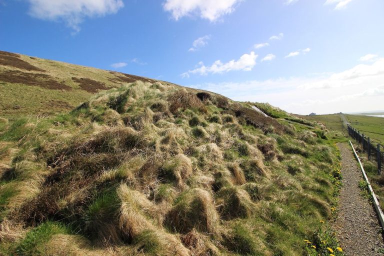
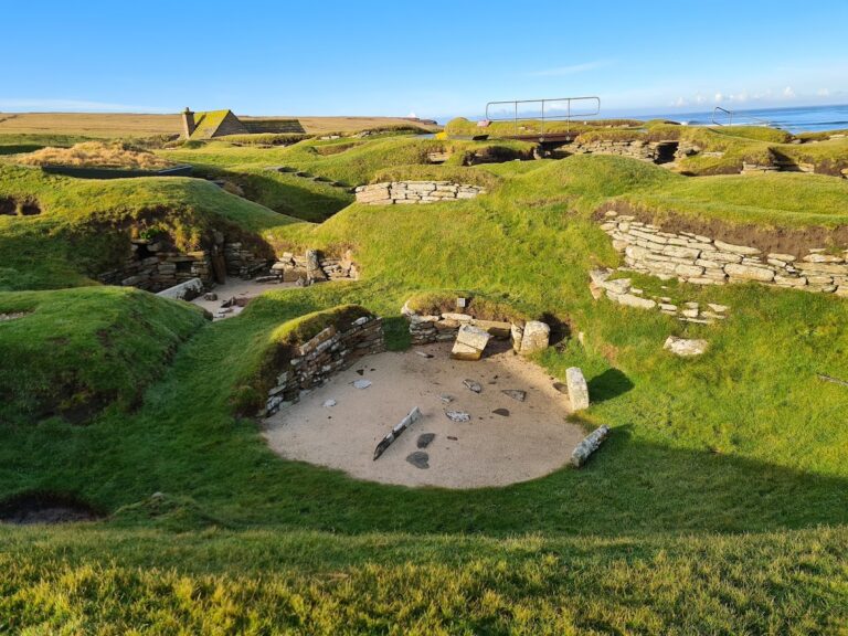
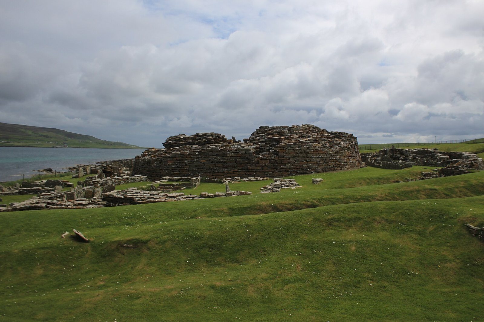
The site lies on Mainland Orkney’s northeast coast, overlooking Eynhallow Sound. Its central drystone tower stands within the remains of a settlement enclosed by ditches and stone ramparts. Smaller dwellings occupy the space between the tower and the inner ditch.
Broch and settlement layout
Central tower
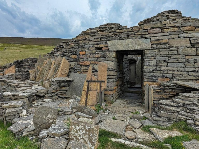
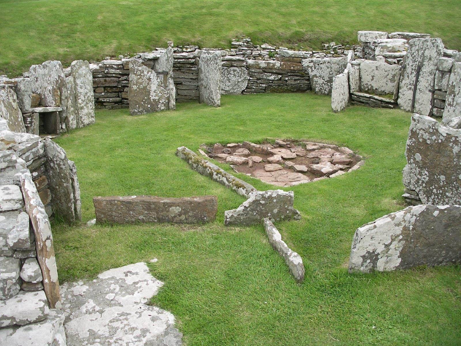
The tower measures about 20 metres across. It may once have risen to around 10 metres, while the surviving remains reach up to 3.6 metres high. Its stone walls are as much as 4.1 metres thick. Two layers of drystone masonry enclosed stone-floored galleries, which were reached by steps. Upright slabs divided the interior into sections, and ledges suggest that an upper floor may have rested on timber. The roof was probably thatched and cone-shaped or slightly curved, with a wall-walk linked to the ground floor by stairs.
Two hearths and a subterranean stone cistern formed part of the tower. A steep stone stair descended to the cistern, which collected spring water.
Enclosure and dwellings
Three ditches cut into the rock, together with stone ramparts, enclosed an area about 45 metres in diameter. Numerous small stone dwellings, yards, and sheds stood between the inner ditch and the tower. The dwellings were built after the tower but belonged to the settlement’s original plan. A main street connected the outer entrance with the broch.
Later building
Shamrock House
Shamrock House is an oval stone building originally situated just beyond the settlement’s wall and ditch. It has four rooms opening into a larger interior, and stone fittings and niches remain. During excavation, the building was moved to the settlement’s outer area.
Burials and finds
Norse grave
A Norse woman, of Scandinavian origin, was buried in the broch ditch in a stone-lined grave broadly dated to the ninth or tenth century. The grave ran east to west and contained two bronze brooches, a shell necklace, a small iron sickle, and an iron knife. Other finds from the site suggest that Norse men were also buried there.
Roman amphora fragments
Fragments of a Roman amphora, a large vessel used in antiquity to store and transport goods, date to before AD 60.
Knife with Ogham inscription
A knife found in 1931 is dated to AD 400–800. Its whale-bone handle carries incised Ogham characters, an early writing system formed from strokes and notches.
Pictish symbol stone
Found in 1935, a rough sandstone block had been built into a wall in a building beside the path to the broch. It measures 0.53 by 0.39 by 0.29 metres. Shallowly incised rectangles and a disc mark its broad, flat face.