Midhowe Broch: An Iron Age Tower on Rousay
Site at a Glance
- Popularity
- Medium
- Country
- United Kingdom
- Primary era
- Iron Age
- Eras represented
- Iron Age, Modern
- Civilizations
- British
- Site type
- Military
- Remains
- Tower
On this page15 sections
History
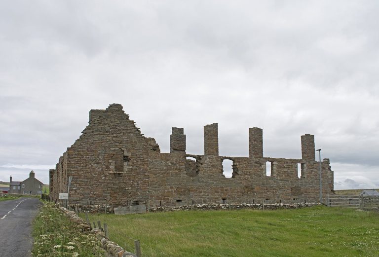
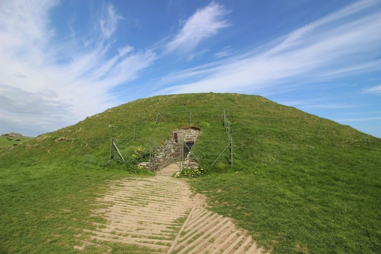
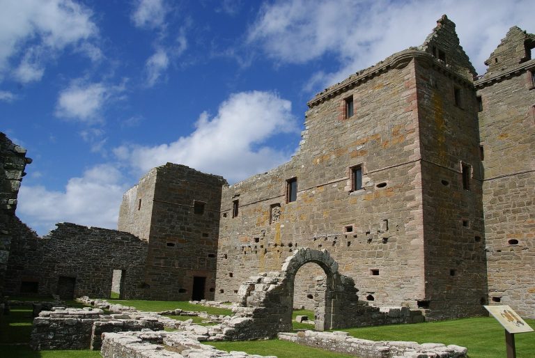
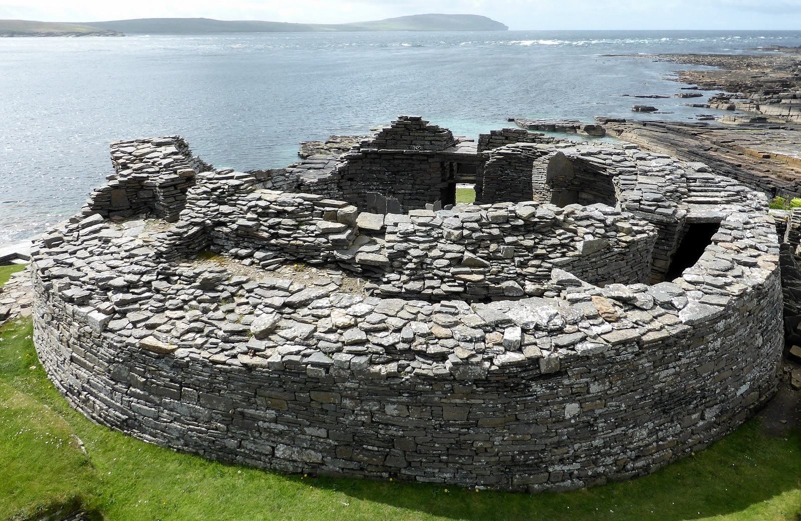
Midhowe Broch is an Iron Age broch, a prehistoric Scottish tower built with thick dry-stone walls, on Rousay in the Orkney Islands of the United Kingdom. Probably built between 200 and 100 BC, it is described as the largest broch on Rousay. Its name reflects its position between North Howe and South Howe. The word howe comes from the Old Norse haugr, meaning a mound, barrow, or cairn.
Iron Age foundation and changes
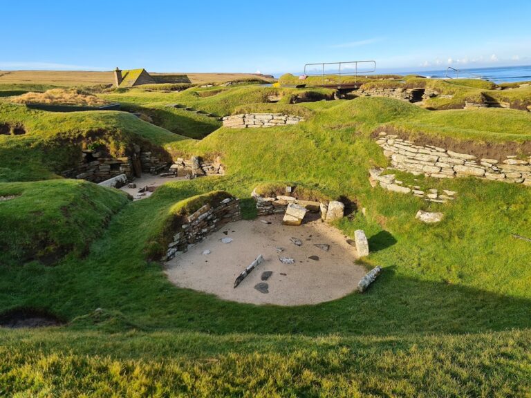
After instability, the broch suffered partial collapse or destruction during the Iron Age. Its structure was then strengthened. Around AD 100, a stone-built settlement developed around the tower and passed through at least two phases of occupation. Its buildings began as adjoining houses and were later used as workshops.
During a later Iron Age phase, broadly dated from the first or second century AD to about AD 550, the broch continued in domestic use. Around AD 200, its interior was divided into two household areas. The settlement was probably smaller than the one at the Broch of Gurness.
Excavation and protection
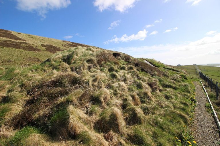
The Ordnance Survey mapped the site as Mid Howe in 1879. An excavation was proposed in 1929, and work began the following year under Walter Gordon Grant, who funded and directed it. John Graham Callander assisted, while James K. Yorston carried out clearance work. Excavation continued until November 1933, removing between 1,500 and 2,000 tonnes of stone and debris from the site. Before this work, a mound of grass and soil about six metres high covered the broch.
The broch and settlement entered state guardianship, a form of public care, in 1934. A seawall built during the 1930s was intended to limit coastal erosion, although parts of the settlement have since been lost to it. Rescue work took place in the 2000s, followed by further excavation in the 2010s. The site has been a Scheduled Monument, a legally protected archaeological or historic site in the United Kingdom, since 1994.
Remains
Promontory and defenses
Coastal position
The site occupies a narrow rocky promontory on Rousay’s southwest coast, facing Eynhallow Sound between two steep-sided sea inlets. The broch floor lies about 8.5 metres above sea level. A concentrated settlement extends around the tower, giving the site a compact, radial layout.
Ditches and stone barrier
Two ditches cut across the promontory between the broch and the hinterland, with a possible earth bank between them. Later, an earth bank and then a substantial stone wall were constructed behind the outer ditch, while the inner ditch was partly filled. The wall may have had a timber structure against its inner face, supported by a ledge. It may also have incorporated an earth core faced with stone. Its entrance was on the southern side and may once have carried a stone post above it.
Broch tower
Walls and ground-level gallery
The tower is almost circular, measuring about 18 metres across outside and 9.6 metres within. Its two walls are separated by a space at ground level, a layout known as a ground gallery. This space was at least partly filled with stones during a later phase. The combined walls measure between about 3.65 and 4.61 metres thick at the points recorded. Surviving masonry reaches a maximum height of 4.3 metres; the lower courses are relatively well preserved in the portions that remain. The southern part of the tower has been lost.
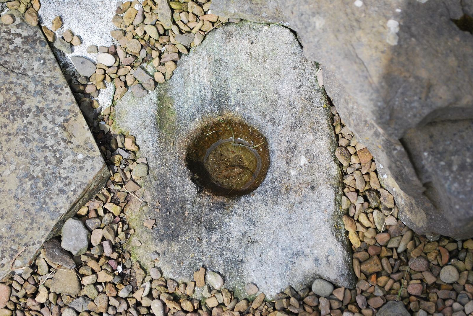
Among stones on the northeast side is a carved stone bearing cup-and-ring marks, circular hollows sometimes surrounded by carved rings. The markings are thought to date to around 1000 BC, earlier than the broch.
Entrance and guard cells
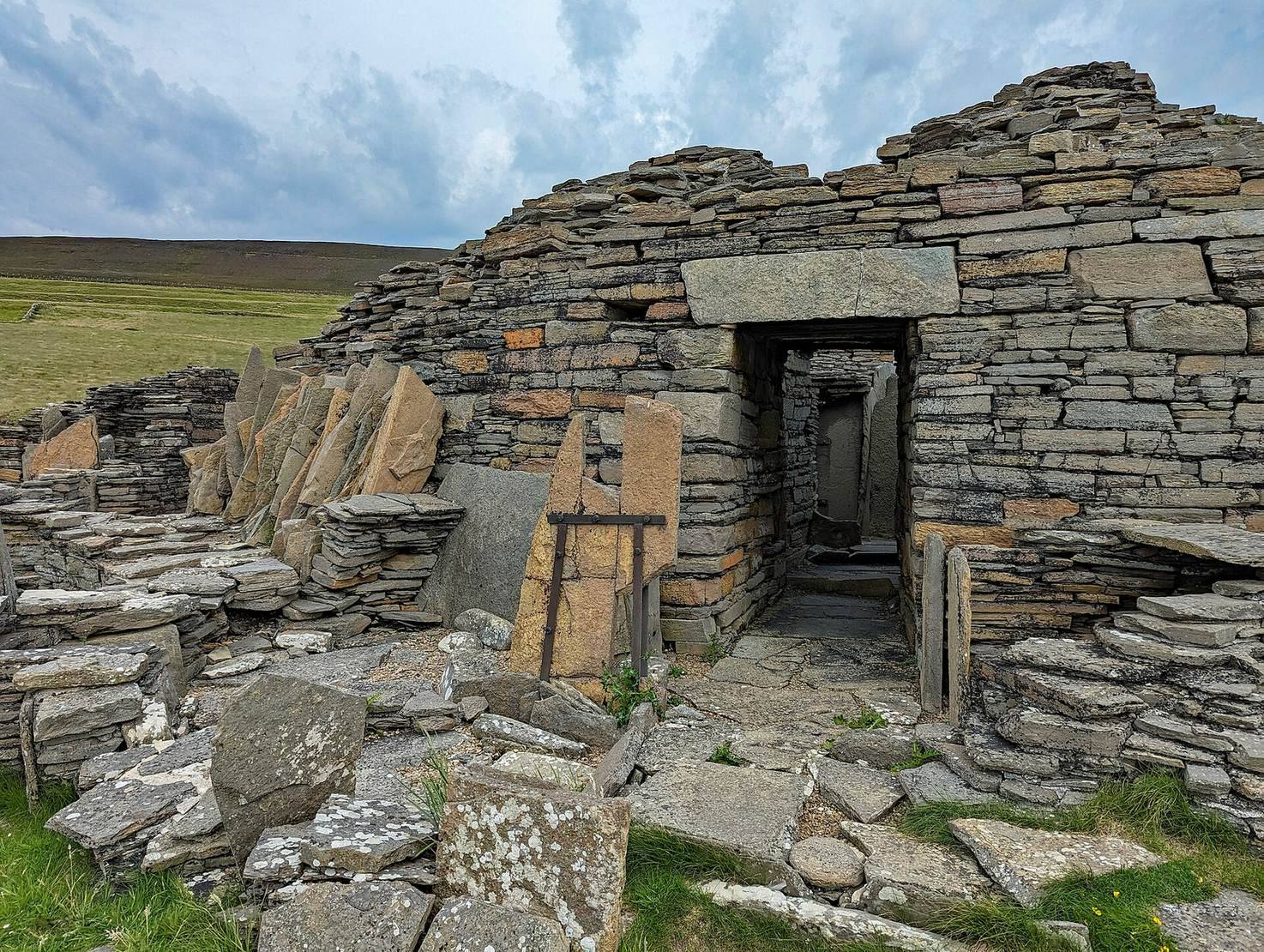
The broch’s entrance faces west to west-northwest. Its passage is 4.33 metres long, with a paved floor; the passage narrows to about 0.9 metres at its midpoint. The roof was originally formed entirely from stone lintels, of which examples survive at both ends. Door checks indicate two positions where doors could be secured. Outside the entrance stand two rows of upright stones, with three stones in each row.
Two guard cells open from the entrance passage. A guard cell is a small chamber reached from a broch’s entrance. Both cells have corbelled vaults, roofs made by laying stones in successive inward-projecting courses. One has an irregular four-sided plan, a low connection to the entrance vestibule, and a square hole cut near floor level. One cell retains a well-preserved ceiling of overlapping stones; the other connects to a gallery between the tower’s walls.
Interior features
Stone partitions and installations reflect the tower’s later domestic use. In the southern interior, a spring-fed reservoir is set into the floor near the entrance and covered by a close-fitting stone. A stone-lined hearth near the centre has sockets that may have held supports for a roasting spit. In the northern area, masonry forms an alcove around a flat slab 2.3 metres high, with a roof of overlapping stones above it. A cellar cut into the rock at the centre of this area is 2.6 metres deep and was probably made before AD 200.
An opening in the north wall, 1.75 metres above the floor, leads to a clockwise-turning stair with 15 surviving steps. It probably reached an upper level, accessible by a wooden stair or ladder. A projecting ledge runs around the interior about 3.3 metres above the courtyard floor. It is around 53 centimetres wide and may have supported a timber roof.
Settlement and finds
Buildings and working areas
Stone building remains lie north and east of the broch. They include small houses, barns, stables, and gardens. An outbuilding northwest of the tower contained a smithing hearth. Coastal erosion has removed portions of this ancient settlement.
Craft and imported objects
Stone and bone tools relate to grain processing, spinning, and weaving. Fragments of clay moulds and crucibles, used in metalworking, point to bronze production. Finds also include bronze pins and brooches, pins or clasps for fastening clothing. A Type F brooch and a bronze pin with an animal-shaped head came from the broch. A polished vessel, found in fragments, is 8.75 centimetres high and is assigned a period of use between 200 BC and AD 400.
Roman pottery includes terra sigillata, a fine red-gloss tableware, and a bronze patera, a shallow vessel of the ancient Mediterranean world. These imported objects indicate contact with the Roman world. Cups made from whale bone were also recovered.
Animal remains
Animal bones include domesticated cattle, sheep, and pigs, alongside red deer, roe deer, wild cats, foxes, geese, ducks, and herons.