Bochorma Fortress: A Medieval Stronghold in Georgia
Site at a Glance
- Country
- Georgia
- Primary era
- Medieval
- Eras represented
- Medieval, Early Modern
- Civilizations
- Georgian
- Site type
- Military
- Remains
- Castle
On this page15 sections
History
Early fortress and Kakhetian power
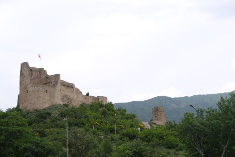
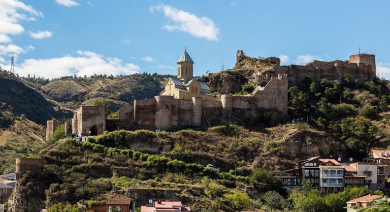
Bochorma Fortress is a medieval stronghold in Georgia, overlooking the Iori River from a ridge on the southwestern slopes of the Gombori Range. Its construction date is unknown, but it is first mentioned in the early tenth century. The eighteenth-century Georgian historian and geographer Vakhushti Bagrationi described it as one of the oldest fortresses. Initially known as the Mother Fortress, it eventually took the name Bochorma.
In the tenth century, Bochorma was a strategic stronghold and political center of Kakheti, a medieval polity in eastern Georgia. It was considered second in importance to Ujarma. During the Sajid invasion of 914, the Sajids, a Muslim dynasty that ruled Azerbaijan, briefly took Bochorma after capturing Ujarma. Its defenders had left without fighting, and the invading Arab forces occupied it for a short time.
Contests for control
Shurta, the estranged brother of Kvirike II, who ruled Kakheti from 929 to 976, seized the fortress and handed it to George II of the Kingdom of Abkhazia, a medieval state in western Georgia. Kakhetian forces soon recovered it.
During Bagrat III’s campaign to conquer Kakheti and neighboring Hereti in 1008–1010, Bochorma was captured in 1010. Bagrat also imprisoned Kvirike, the Kakhetian ruler who had fortified himself at the fortress. In 1069, Bagrat IV exchanged Bochorma and Ujarma with Aghsartan I of Kakheti for Fadl ibn Muhammad, emir of Arran, a medieval region in the southern Caucasus. An emir was a Muslim ruler or governor, and Bagrat intended to keep Fadl imprisoned.
Eighteenth-century use and preservation
The fortress remained in use into the eighteenth century. Heraclius II, king of Kartli-Kakheti, restored a substantial part of it and installed cannons. In 1747, during a conflict with the claimant Abd al-Beg, Heraclius took refuge there. A renovation is dated to 1749.
On 7 November 2006, Georgia designated Bochorma an immovable cultural monument of national significance.
Remains
Setting, citadel, and defenses
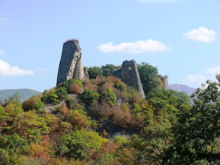
The fortress covers about 1.5 hectares on a ridge roughly 300 m high above the Iori River valley. It lies about 2 km east of the modern village of Bochorma and 14 km southeast of Sioni. Its walls follow the uneven mountain terrain, and access is relatively easy from the east. The inner citadel, the stronghold’s fortified core, occupies irregular ground and was enclosed by a high curtain wall, a defensive wall linking the towers. Only the western and northern sections of that wall survive. The citadel’s buildings are ruined or badly damaged; its remains include the Church of Saint George, a palace, a small hall church, and several towers.
Southwestern tower
This square tower measures 8 × 8 m and is built of alternating courses of river stones and broken stone. The wooden floor between its lower storeys has collapsed, and much of the third-storey walling has fallen. A centered entrance in the east wall serves the first storey. Two broad entrances on the second storey’s south side open onto a platform about 1.5–1.8 m wide, reached by a stair at its eastern end. The east and south walls of the third storey are almost entirely gone. Two rectangular windows remain in the west wall, along with parts of the side supports of a stair doorway in the north wall.
Northwestern tower
The rectangular northwestern tower measures 7 × 6.7 m and survives to three storeys. Rubble fills the first storey. The second storey has a single entrance on its east side, opening from the fighting walkway along the northern curtain wall. Most of the third-storey walls have fallen. A circular-plan toilet was situated in the northern part of the tower’s east wall.
Northeastern rounded-corner tower
This tower measures 7.3 × 6.1 m and survives to two storeys. The entrance in the first storey’s south wall has a semicircular brick arch, while most of the second-storey walls have fallen.
King’s Hall
The rectangular tower known as the King’s Hall stands at the fortress’s highest point, in its northeastern corner. Built of river stones and broken stone, it measures 9.3 × 4.8 m and survives to three storeys. Its only entrance is in the first storey’s south wall.
Cylindrical tower
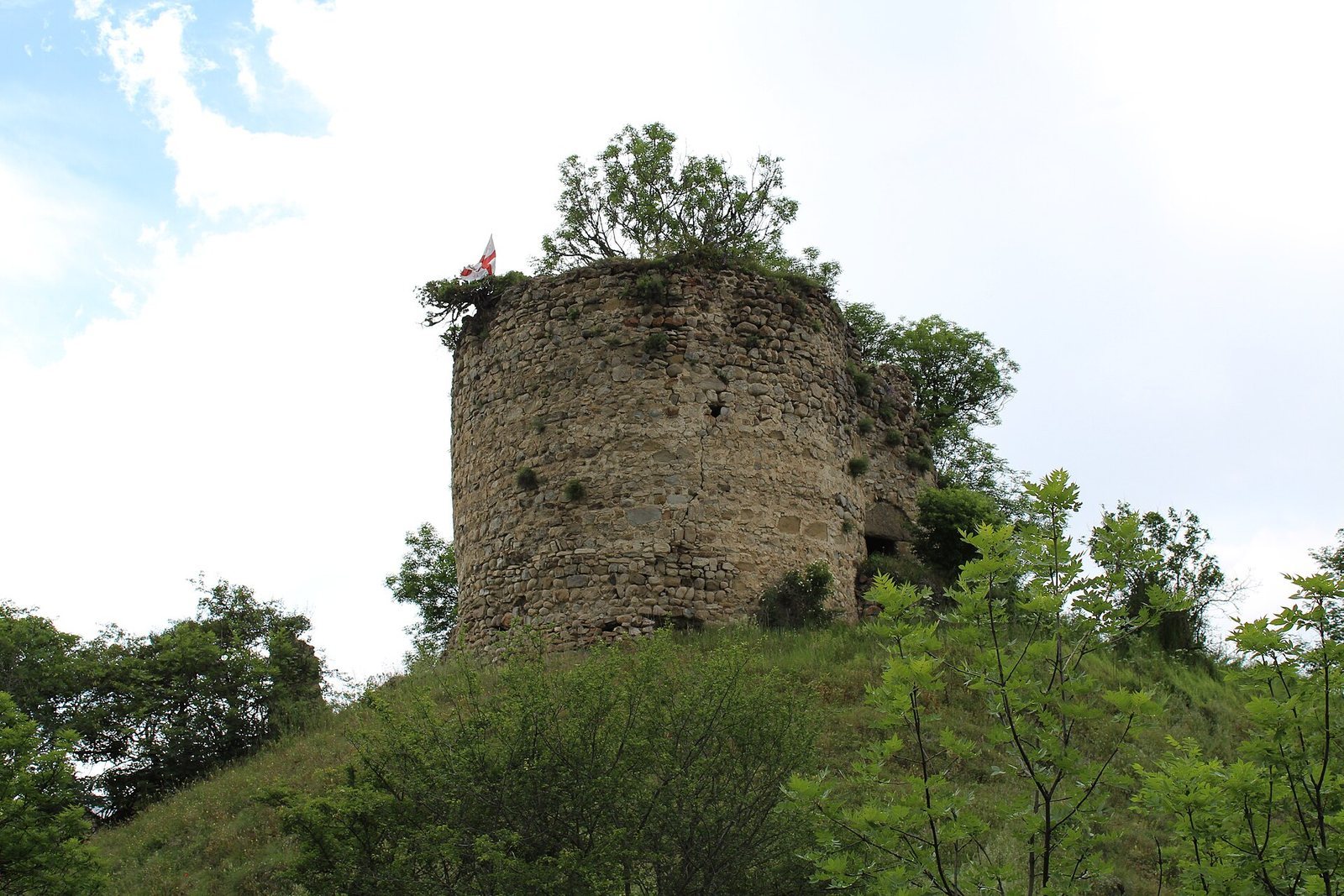
Dated to the tenth century, this tower stands on a small rise about 20 m southeast of the Church of Saint George. It is built of river stones and broken rock, has an exterior diameter of 8 m, and rises through three storeys.
Buildings within the citadel
Church of Saint George
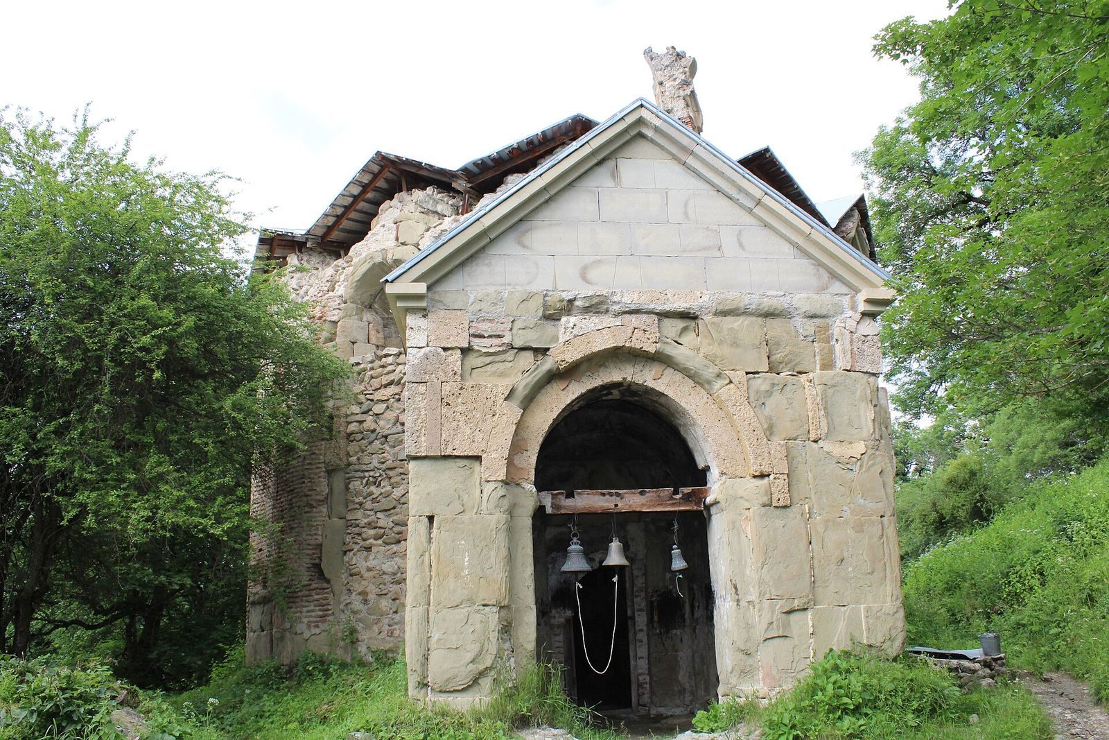
The church is a domed building with six apses, or recessed ends, and a twelve-sided exterior. Its original construction dates to the tenth or eleventh century, and it was remodeled several times. Built of sandstone, it once had dressed stone slabs on both its inner and outer walls. Entrances occupy the southwestern and northwestern apses. A seventeenth-century belfry rises above the southwestern porch, while an eighteenth-century brick iconostasis, a screen separating the altar area from the rest of the church, marks the altar apse. Each exterior facet has a pitched roof; the ruined base of the dome retains six windows.
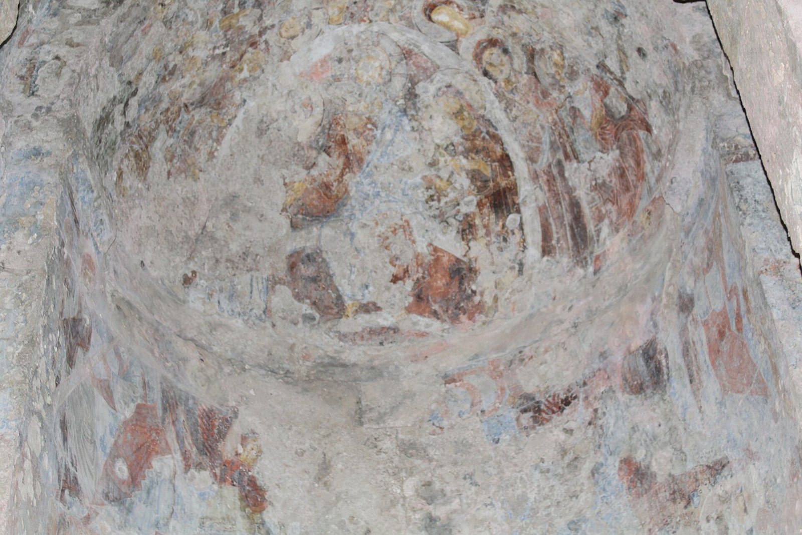
The badly deteriorated interior frescoes are stylistically dated to the early twelfth century. They show episodes from the lives of Jesus and Saint George, as well as other saints. In the lowest painted band of the northeastern apse, David IV of Georgia appears beside Constantine the Great, a Roman emperor, and his mother Helena. The imagery presents David as a Christian monarch and evokes succession to the Byzantine emperor in a region Georgia had acquired only in 1104.
Small hall church
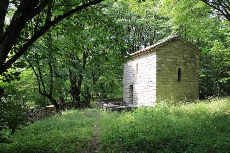
This late-medieval church measures 4.7 × 3.7 m and is built of cobblestone. Its single hall-like interior ends in a semicircular apse, and its doorway is on the south side.
Palace
The palace stands along the inner fortress’s southern wall, about 20 m southwest of the Church of Saint George. Partly cut into the slope, the rectangular building measures 23 × 8 m and is made of broken stone. It is severely damaged, with one floor surviving; this appears to have been its only storey. A doorway connects two rooms of unequal size. The eastern room is nearly two and a half times the area of the western one and has two broad entrances on its south side.