Cheremi: A Fortified City and Episcopal Center in Georgia
Site at a Glance
- Country
- Georgia
- Primary era
- Medieval
- Eras represented
- Classical, Medieval
- Civilizations
- Georgian
- Site type
- City
On this page21 sections
History
Cheremi is an archaeological site in Georgia, preserving a settlement that existed before the late-fifth-century reign of Vakhtang Gorgasali, king of Kartli. Medieval tradition credits Vakhtang with developing it as a fortified city and establishing its bishop’s institution and jurisdiction, known as an episcopal see. Cheremi’s position on an eastward trade route helped it grow into a strategic center during the second half of the fifth century.
Vakhtang and the fifth-century city
Juansher, a Georgian chronicler whose account was composed around 800, attributed two churches and a citadel to Vakhtang, who gave Cheremi to his elder son, Dachi. The eighteenth-century historian and geographer Vakhushti Bagrationi also described a settlement that predated Vakhtang’s fortification of it. Juansher’s account does not identify the churches with certainty. They may have been Saint George and Saint Barbara within the citadel; if he meant the wider city, they may instead have been Saint George to the west and Father David to the east. Saint George has also been proposed as the cathedral associated with Vakhtang.
The city’s position along an eastward route contributed to its strategic importance, while archaeological finds indicate connections with eastern trade. The route may have been the one Juansher described in connection with the advance of a Persian army. Persian attacks destroyed Cheremi during the period associated with Vakhtang’s reign. Damage from the Persian campaign of 502 appears to have hastened the citadel’s decline.
Cheremi’s bishop attended the Council of Dvin, a church council, in 506. During a period when Georgian lands were united under a monarchy, Cheremi’s bishop held thirty-seventh place among forty-five hierarchs. The episcopal institution continued into the eighteenth century, and documents from the seventeenth and eighteenth centuries name its bishops.
The medieval episcopal center
In the eighth or ninth century, as life in the citadel weakened, the cathedral moved to the area of the present village. A cathedral and a bishop’s palace were built there on ground occupied in earlier periods. Cheremi’s later history became closely linked to its bishop’s institution, while other parts of the former city belonged to the wider ecclesiastical territory.
A monastery occupied the citadel during the High Middle Ages, the central centuries of the medieval period. Archaeological evidence places it especially in the twelfth and thirteenth centuries. Mongol forces destroyed the monastery and devastated the bishop’s see.
Decline and archaeological investigation
Cheremi may also have suffered destruction during the rule of Shah Abbas, the Safavid ruler of Iran. Repeated raids from Dagestan further weakened the region, which was virtually depopulated by 1757. That year, King Teimuraz II dissolved the bishop’s see and divided its lands among the neighboring sees of Alaverdi, Bodbe, and Ninotsminda. In the mid-eighteenth century, Cheremi’s territory extended from Kondoli to Vejini in inner Kakheti and from Melaani to Shibliani in outer Kakheti.
The Kakheti Archaeological Expedition began work in 1970 and investigated the site for about a decade under archaeologist K. Pitskhelauri; fieldwork also took place in 1979. The investigations identified remains spanning the Stone Age to the Middle Ages and clarified Cheremi’s location, chronology, church history, and possible connection with the route of a Persian campaign. The Georgian state designated the historic site and principal remains, including its basilica, churches, palace, and defensive wall, as a cultural monument of national significance.
Remains
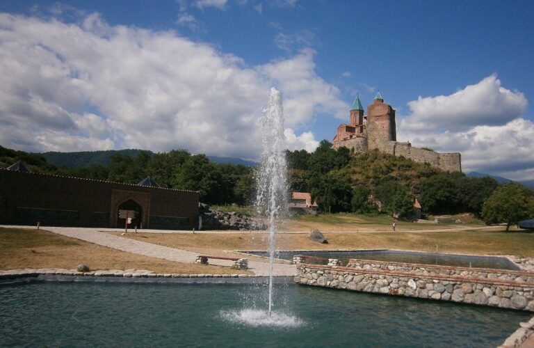
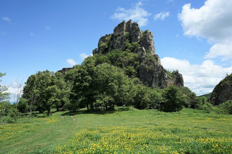
Cheremi’s remains occupy a hill about five kilometres west of the modern village, on the high left bank of the Chermistsqali, a tributary of the Alazani, in the central Gombori Range. The citadel covers about ten hectares. Within its broad enclosure, the castle stood on a rocky promontory, the cathedral occupied a rise at the eastern end, and the palace complex lay between them. Deep ravines border the promontory to the west.
Citadel and principal buildings
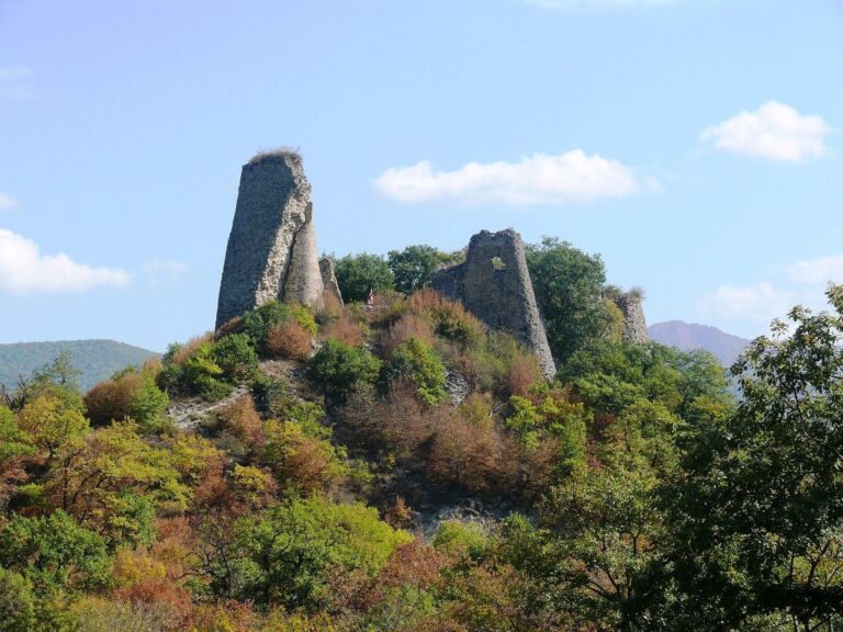
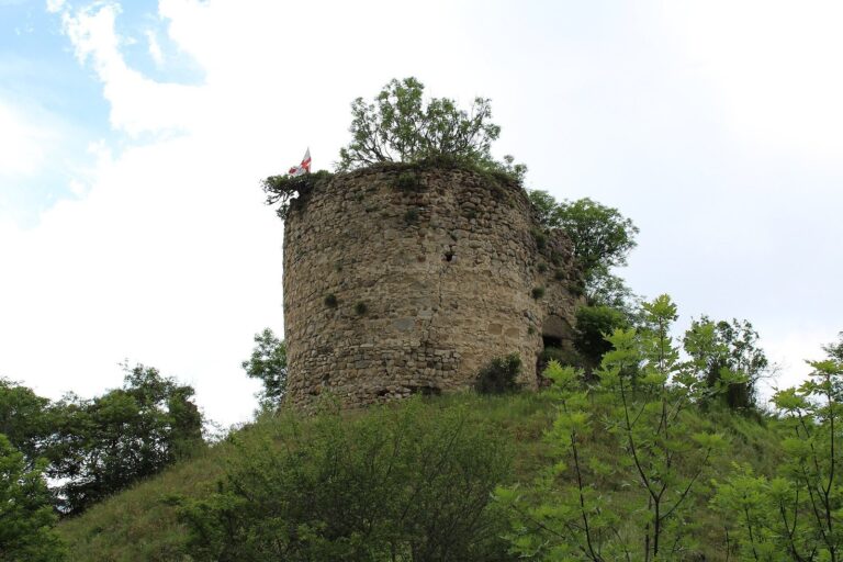
The citadel’s rectangular defensive wall enclosed the hill and promontory. It is the only district of the ancient city known to have had its own circuit wall. A wider defensive system also protected the city and nearby valleys. A ruined fifth-century tower stands on a mountain north of Cheremi.
Castle
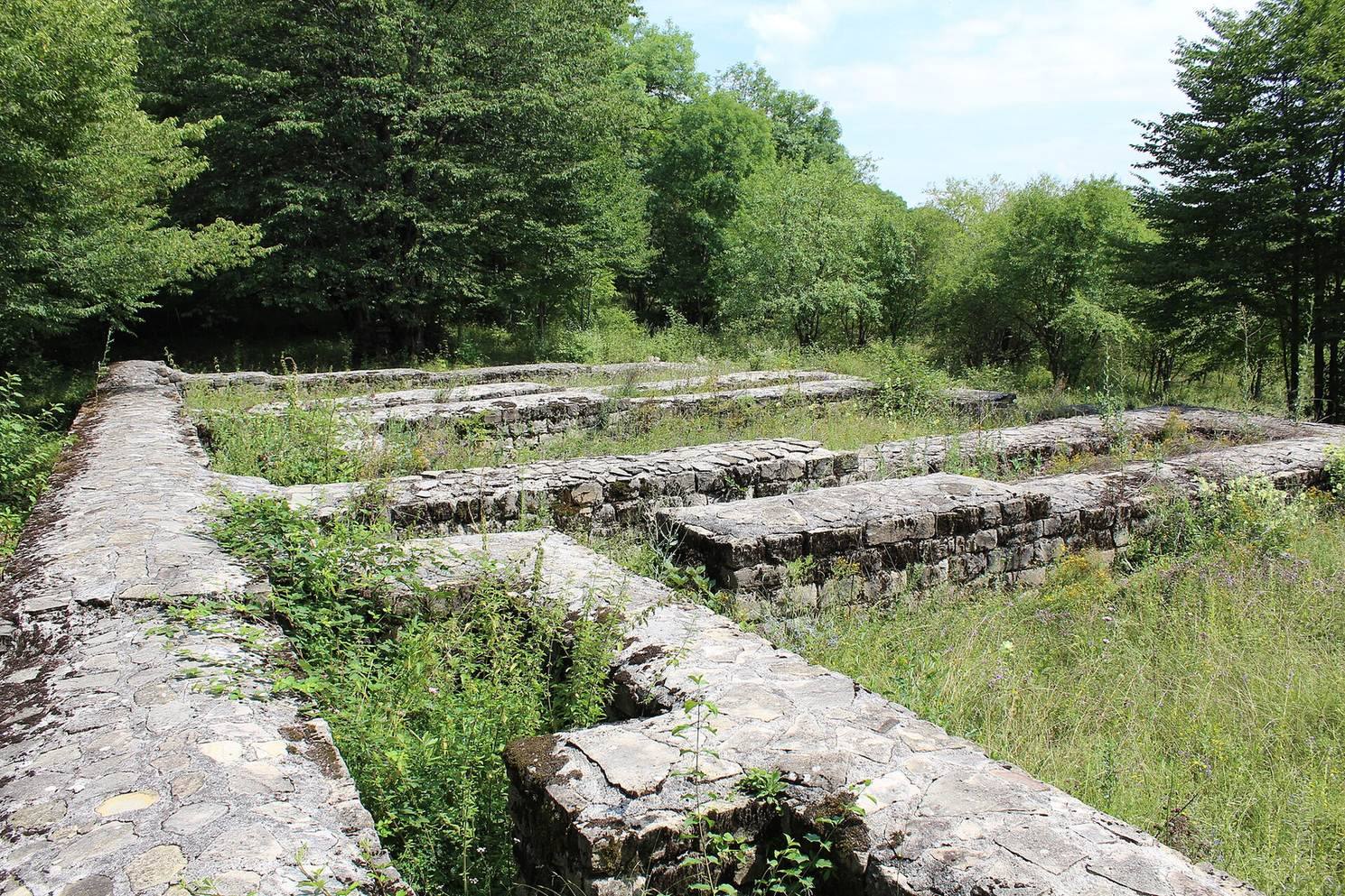
The castle covered about 300 square metres and contained six chambers, two corridors, and a tower. Its north and east wings met at a right angle, with rooms arranged in a row and connected to each other and to the courtyard by individual doorways. The north wing stood on level ground; the east wing descended southward. A large rectangular tower joined the east wing at an obtuse angle and opened onto the courtyard. The castle was probably two storeys high. A rectangular tower defended its southern entrance. Curved and flat roof tiles were used, and the buildings are also described as having red-tile roofs.
Palace
East of the agricultural courtyard, the palace measured 30.5 by 15.7 metres and used construction methods and materials like those of the castle. Three halls, each entered from the south, were separated by narrow corridors. The palace was probably two storeys high. Pits and large vessels on its lower level point to storage or other agricultural use.
Monastery and agricultural buildings
The monastery’s paved agricultural courtyard was enclosed by a circular wall. Its service buildings included wineries, storage rooms, and other work spaces. These structures occupied the citadel, where their construction incorporated the remains of the earlier palace.
Winery and paved courtyard
A square winery with a southern entrance stood beside a storage room, the two separated by a narrow paved path. Presses built into the winery’s west and north walls, along with shelves in front of them, were coated with thick lime plaster. The western press and shelf survive in better condition. A niche in that shelf held a vessel to collect grape juice, which flowed from the press through a clay pipe before being poured into a jar. Three large clay jars remain in the winery.
Storage and service rooms
The service room south of the winery contained storage pits and a shelf along its western wall. Two stone-lined, pear-shaped pits of different sizes occupied its northern part, and another lined pit was attached to the outside of the building’s northeast corner. Excavations west of the courtyard uncovered a stone-lined grain pit, large jars, a room with a bread oven, and other service features. A second winery to the north had two presses.
Churches and related buildings
Saint Barbara
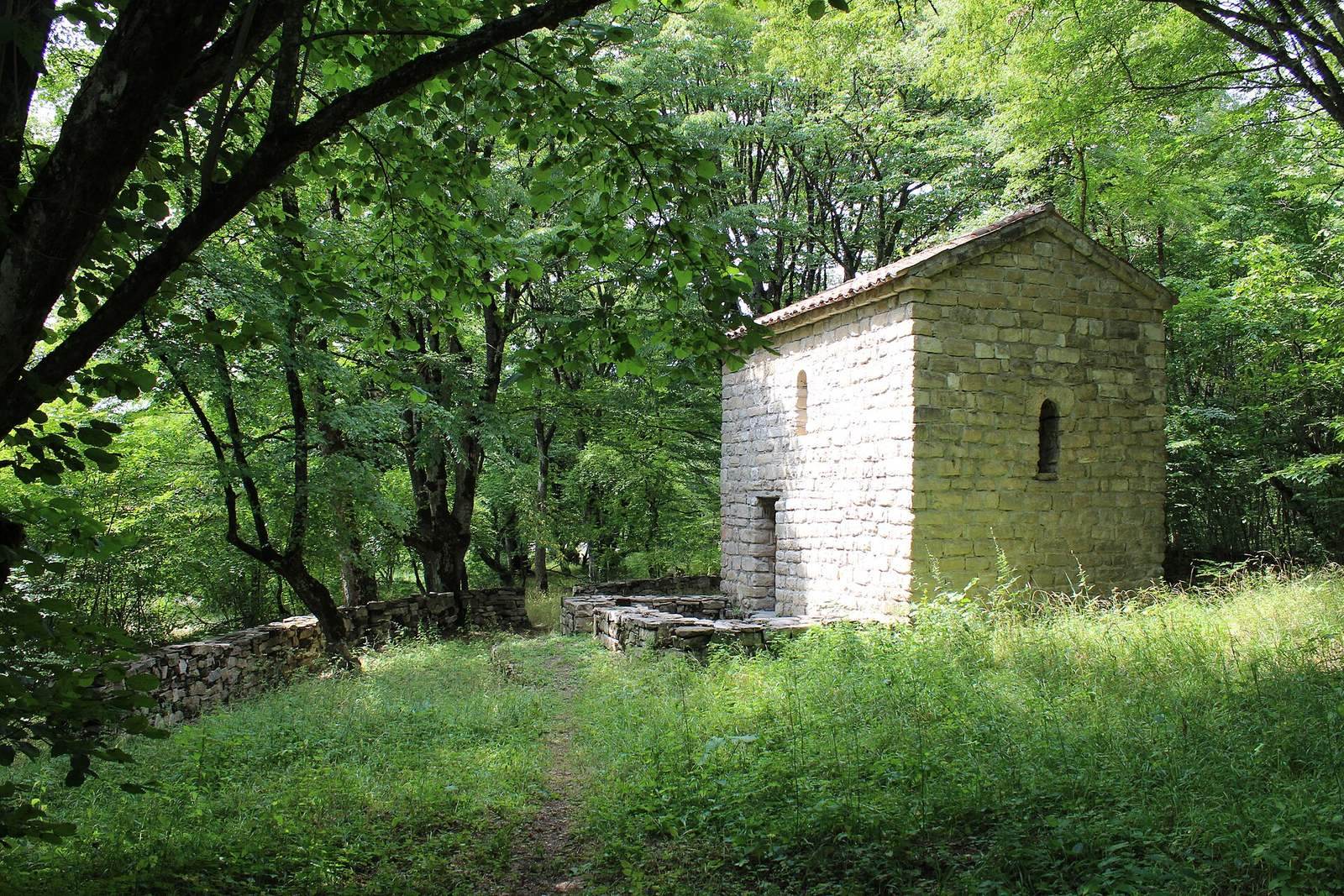
The hall church of Saint Barbara stands about sixty metres east of the palace. It measures 6.8 by 4.3 metres and uses masonry and materials like those of the castle and palace. Its architectural style is assigned to the late fifth century, and the church has been restored.
Saint George, or Tsverodabali
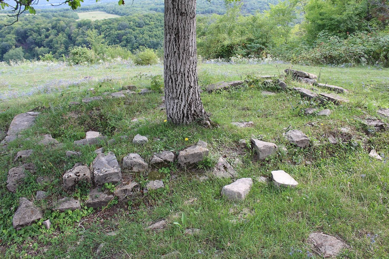
Saint George, also called Tsverodabali after the hill where it stands, is an early medieval hall church measuring 10.27 by 3.74 metres. Dressed sandstone blocks form its walls. The church has a semicircular sanctuary end and a horseshoe-shaped arch above it; its passage around the sanctuary is badly damaged.
Saint Nicholas cathedral
At the center of the modern village, Saint Nicholas is a three-church basilica, with a central church and separate north and south side churches. The central church has a horseshoe-shaped sanctuary end that curves inward, as well as a projecting pentagonal sanctuary end on the exterior. The side churches each end in a semicircular sanctuary space. Porous shirimi stone faces the central church, while river cobbles form the side churches. The building is assigned to the tenth or eleventh century and may have replaced an earlier church.
A stone inscription is set low in the outer east wall of the north church. One interpretation identifies the words as referring to Catholicos Melchizedek, a senior church leader; another reads them as stating that this is Melchizedek’s tomb. The stone was reused in the wall. Its lettering does not establish that it names Catholicos Melchizedek I, who served from 1010 to 1033.
Small domed building
A small square building with a dome stood within the cathedral enclosure, a few steps from the cathedral. It was destroyed in 1924. Its purpose is uncertain: it has been interpreted as an early Christian shrine and also as a former altar for Zoroastrian worship.
Saint Marina
Excavation at a mound on the village outskirts identified a fourth- to fifth-century hall church associated with Saint Marina. It measured 5.9 by 4 metres, had a western entrance and a semicircular sanctuary end at the west, and was built from large dressed stones. Its remaining walls were demolished in 1934–35.
Father David
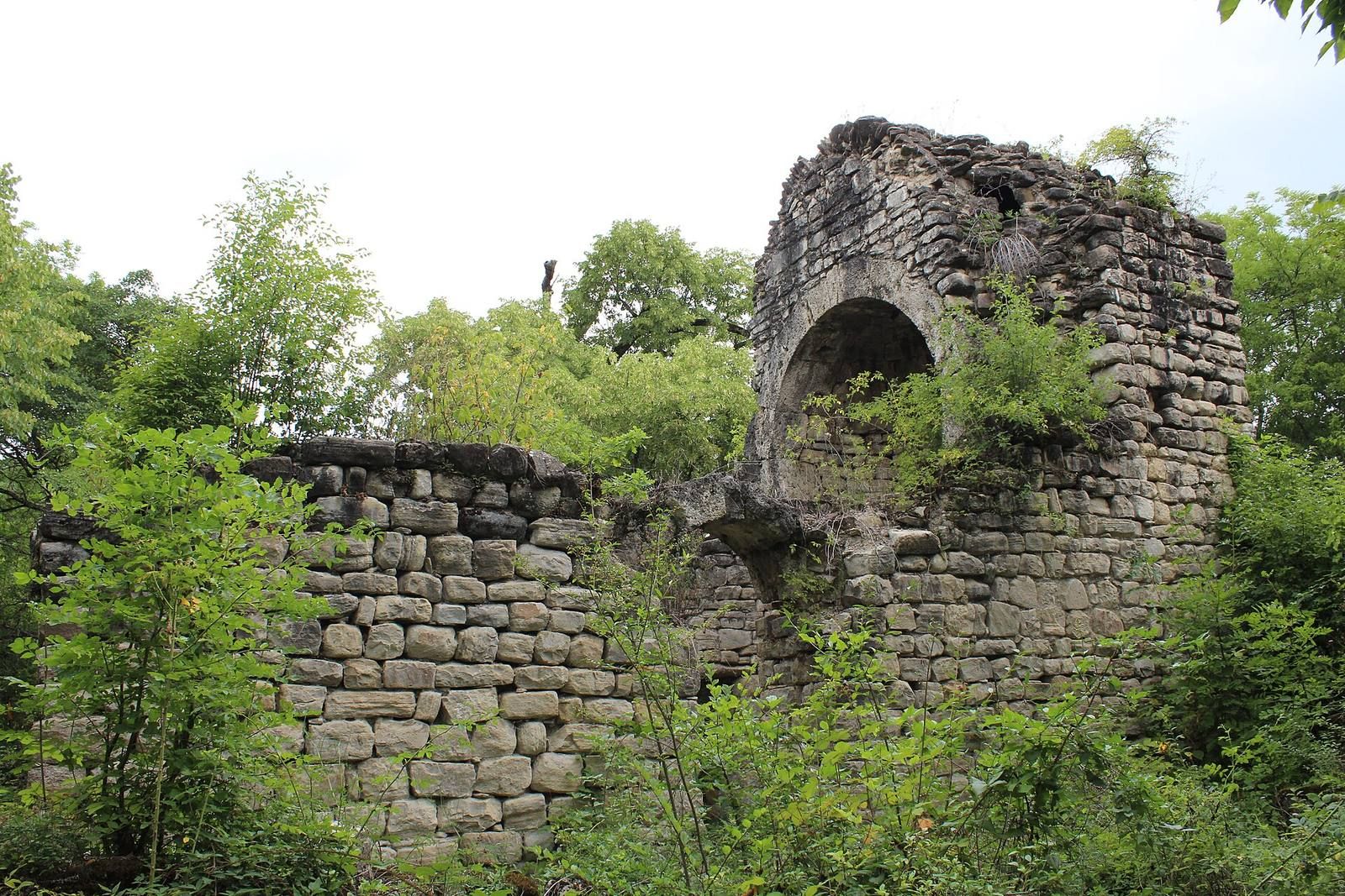
Father David’s church stands in the old cemetery east of the village. This early medieval three-church basilica has a collapsed roof. Its central section, including the sanctuary wall preserved to its full height, remains relatively intact. Heritage-protection workers cleared the church.
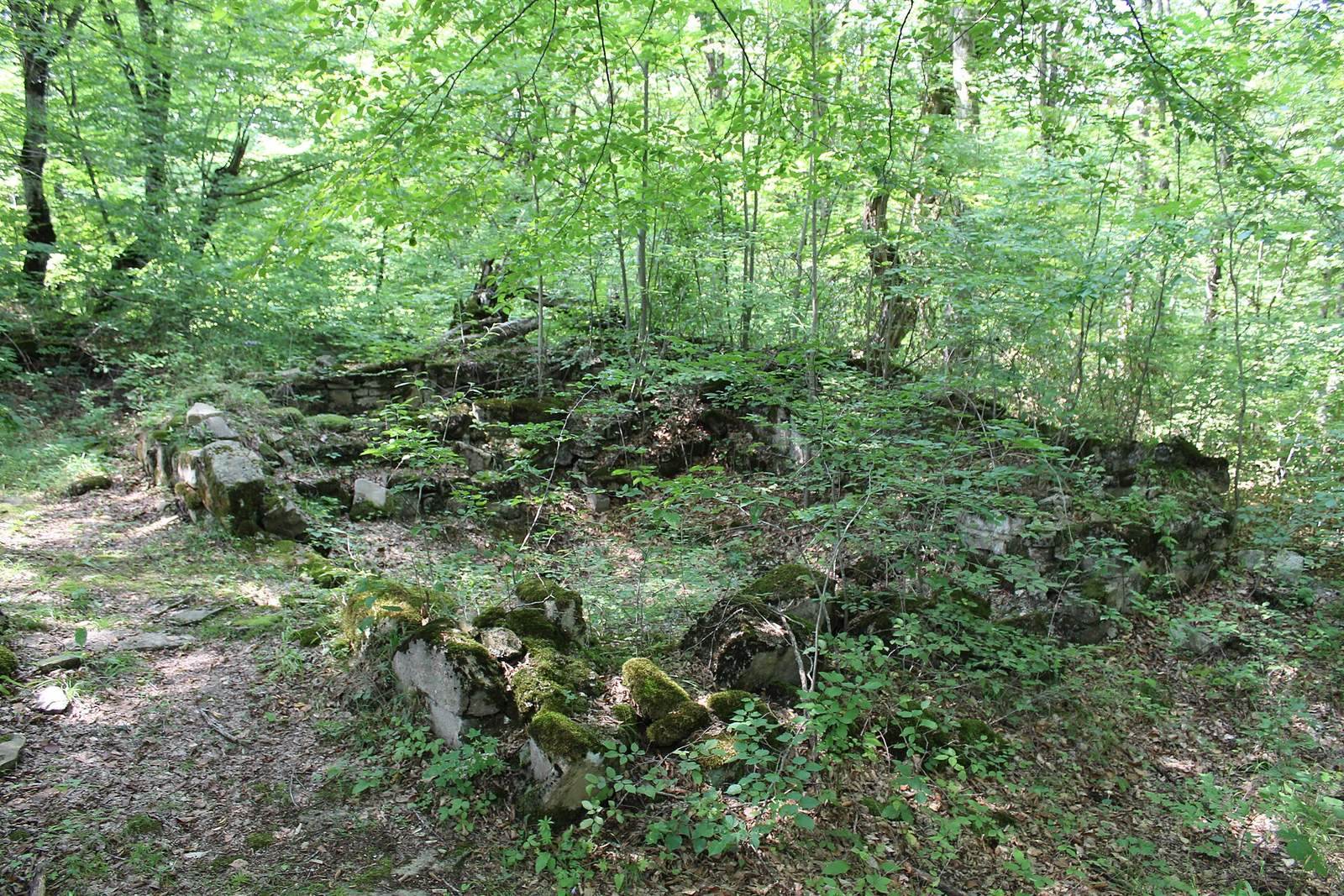
South of Saint George are the remains of stone buildings that may have served as monks’ residences. Stone-slab-covered pit graves near Saint Barbara may have been monks’ burials.
Earlier settlements and cemeteries
Settlement evidence
Archaeological finds reveal occupation across several periods. Flint tools were collected in the village area. Kvirike Hill, at the village edge, yielded a Late Eneolithic settlement, from the transition between the Neolithic and Bronze Age, with mainly agricultural pits and fragments of stone building material. An Early Bronze Age settlement was excavated at Saghandzile, west of the village. Late Bronze and Iron Age settlements were found near the village and on Tsverodabali Hill, alongside sites dating to the first half of the first millennium BC. On the citadel’s rocky promontory, an earlier settlement hill was separated by a defensive ditch.
Cemeteries and grave goods
A third- to fourth-century urban settlement and cemetery occupied parts of the modern village area and Tsverodabali Hill. Most of the cemetery’s graves were collective stone cists, burial chambers made from stone slabs; four graves were pits covered with slabs. A separate cemetery uncovered in the village during school construction dates from the third to seventh centuries.
Grave goods changed over time. Third- and fourth-century burials included pottery, iron knives, jewelry, rings, bracelets, several kinds of earrings, conical bells, beads, and silver or iron dress fasteners. Some rings held Roman gems. Coins included issues of Augustus and Gotarzes, as well as an imitation of an Augustus coin. Later fourth-century and fourth- to fifth-century burials had fewer goods overall, and square-bezel rings appeared. Fifth- to early-sixth-century graves included two-part earrings, bracelets, and bow-shaped clothing pins.
Sixth- and seventh-century graves contained different forms of bracelets, including slender rods with flattened open ends and four-sided rods that narrowed, rounded, and curved toward cone-shaped terminals. New dress-fastener heads used materials such as amber, pearl, and glass; some fasteners were cast entirely in bronze. The finds also include changing forms of bow-shaped pins, belt buckles, and rings, among them Sasanian-style rings associated with Iran’s Sasanian dynasty. Earrings included open wire rings threaded with two bead pendants and two-part temple rings. The cemetery finds are held at the Cheremi museum and the Cheremi archaeological expedition base.