Auksūdys Hillfort: An Early Fortified Site in Lithuania
Site at a Glance
- Popularity
- Very Low
- Country
- Lithuania
- Primary era
- Medieval
- Eras represented
- Classical, Medieval
- Civilizations
- Unclassified
- Site type
- Military
- Remains
- Fort
On this page6 sections
History
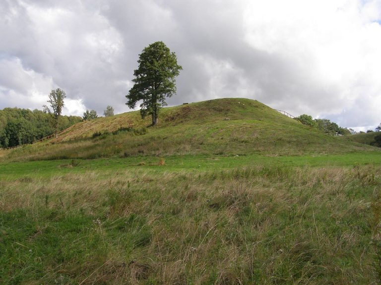
Auksūdys hillfort is an ancient fortified site in Auksūdys village, Lithuania, dating to the first millennium CE. It is also known as Pilalė. Local traditions associate it with Swedish soldiers, while later archaeological work considered that it may have served as an early fortified settlement.
Local traditions
One tradition says that Swedes built the rampart and established their main military headquarters in Lithuania at the site. Another tells of people sheltering there during a war with Sweden, reaching the refuge by a stone causeway to escape Swedish soldiers. A less common name for the hillfort, translated as Devil’s Mill, relates to another story, about a manor mill said to have stood there.
Other stories tell of a manor that sank underground with its owners and sometimes resurfaced. In one, a little devil played ball with shepherds, then disappeared into the hillfort after someone struck it with a rowan stick. Local lore also says that laumės, female supernatural beings in Lithuanian folklore sometimes translated as fairies, washed clothes there at night on traditional calendar holidays. Mysterious lights nearby were said to lead people astray.
Investigation and protection
Liudvikas Kšivickis surveyed the site in 1905. Further surveys took place in 1948 under Pranas Kulikauskas, in 1982 under Romas Olišauskas, in 1992 under Vilnius Morkūnas, and in 1995 under Vykintas Vaitkevičius. In 1984, Ignas Jablonskis excavated 41 square metres of the rampart. He proposed that the site may have been an early fortified settlement.
The hillfort entered the State Archaeological Commission’s inventory in 1935. In 1972 it was designated a republic-level archaeological monument together with stone cairn burial mounds. It joined the register of archaeological sites in 2004 and was recognized as a state-protected cultural property in 2005.
Remains
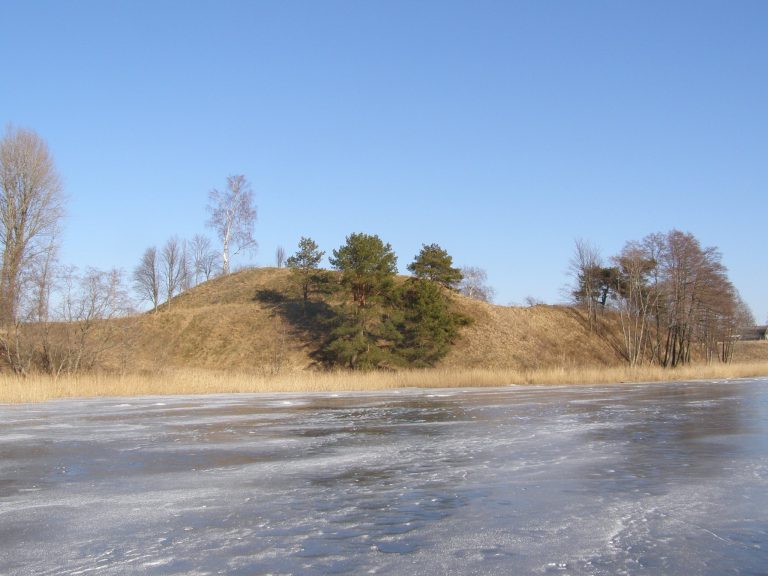
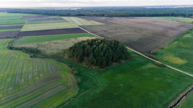
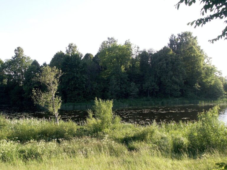
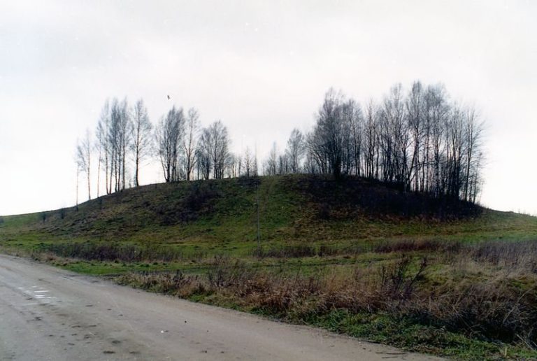
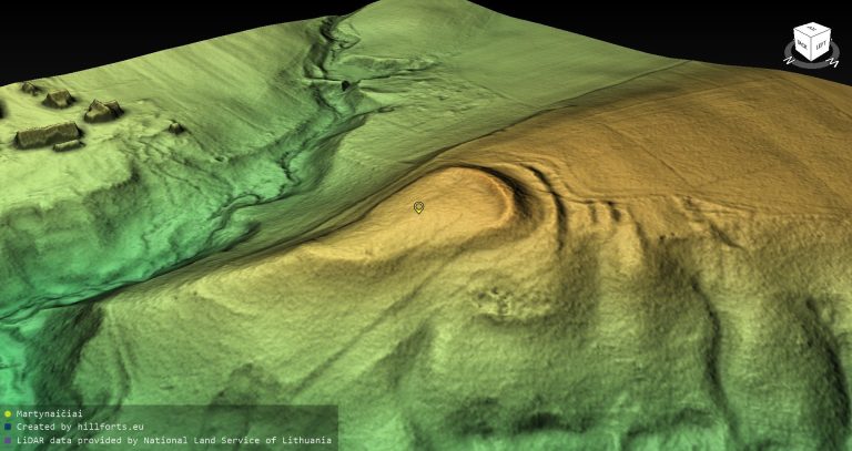
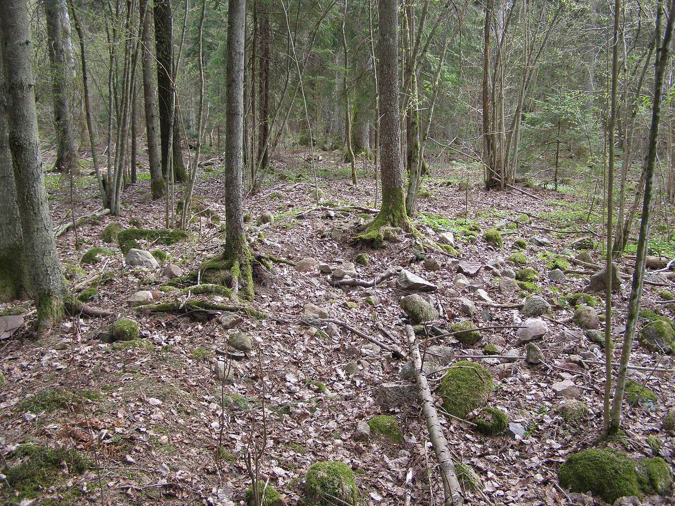
The enclosure stands on level ground beneath spruce trees in Pilalės Forest, on the left bank of the Darba stream and at the western edge of Dainiškiai marsh. Its oval plan is elongated from west to east and defined by a stone rampart.
Platform and rampart
The platform measures 45 by 35 metres. Its surrounding rampart is about 0.4 metres high and 5 metres wide, with a doubled section along the north and northwest sides. A former entrance, 2.7 metres wide, lies in the northern part. Excavated sections showed that three rows of posts, each 15 to 20 centimetres in diameter, supported the stones. The ramparts have been partly levelled and are now difficult to distinguish from the surrounding ground.
Nearby archaeological features
A stone with a smooth upper surface lies 18 metres east of the rampart. It measures 1.3 by 1.0 metres and stands 40 to 70 centimetres high. The Auksūdys ancient agricultural site extends west and northwest of the enclosure. An Auksūdys sacred site, or alkvietė, a place associated with pre-Christian Baltic worship, lies 110 metres to the southeast; an early cemetery is 1.5 kilometres to the south-southeast. Near the Kulšė stream at the western edge of the village are the burial grounds called Leišio kalnelis and Pilalė, together with a hillfort.