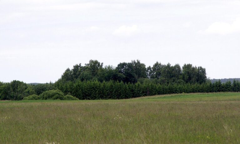
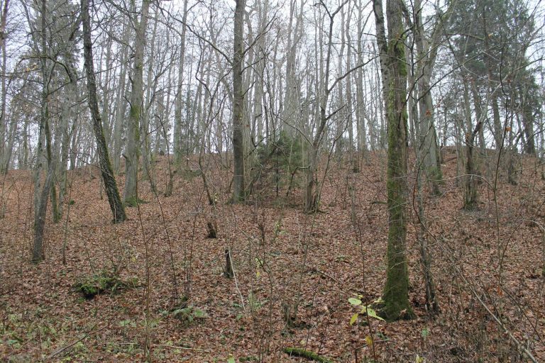
Kurmaičiai Hillfort: An Ancient Fortified Site in Lithuania
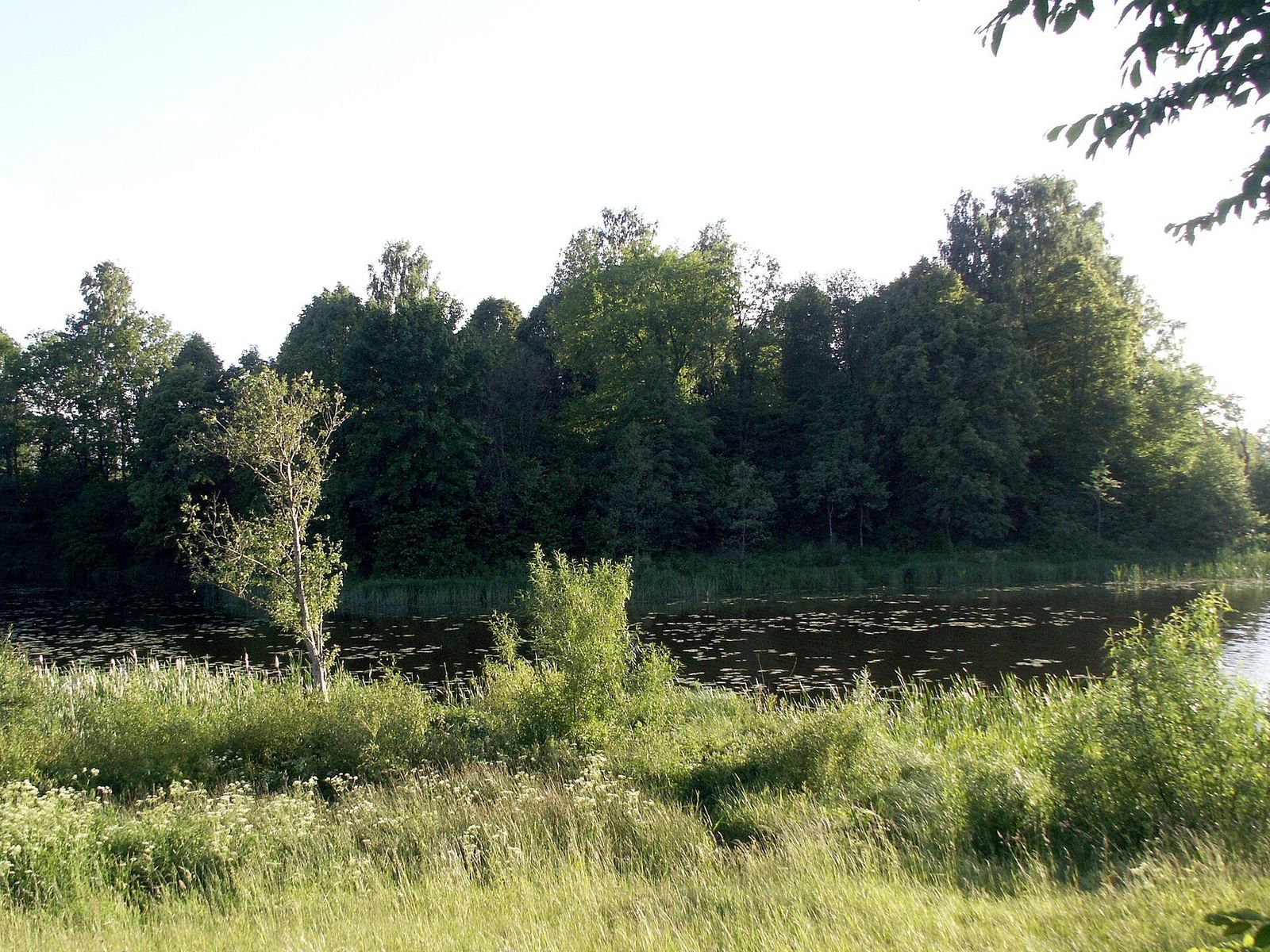
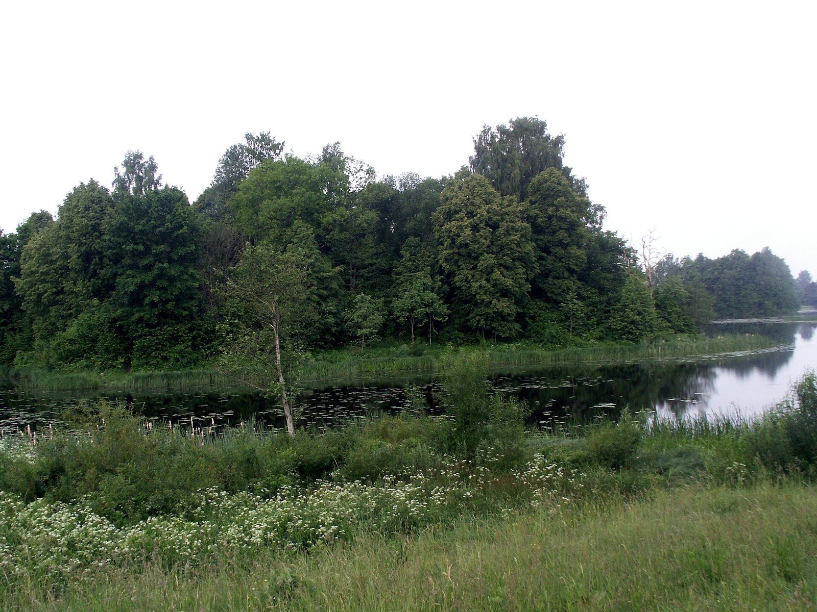
Site at a Glance
- Rating
- 4.3
- Popularity
- Very Low
- Country
- Lithuania
- Primary era
- Iron Age
- Eras represented
- Iron Age, Classical, Modern
- Civilizations
- German
- Site type
- Military
- Remains
- Fort
On this page11 sections
History
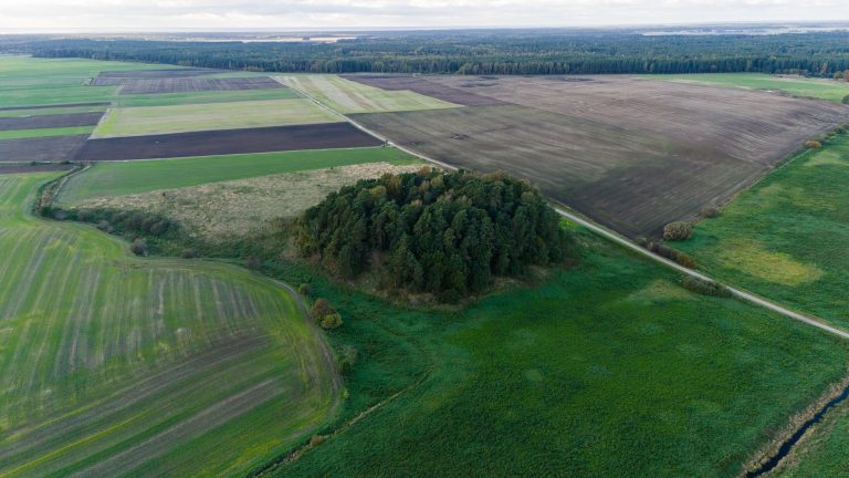
Kurmaičiai hillfort is an ancient fortified site on a promontory at the confluence of the Akmena and Pilsupis rivers in Kurmaičiai, Lithuania. Established at the end of the first millennium BC, it remained in use until the third or fourth century AD.
Medieval reference and local traditions
Hans and Gertrud Mortensen identified Kurmaičiai as the location of Maycinele Castle, named in a letter dated 5 April 1253. Henry, bishop of Courland, sent the letter to the master of the Livonian Order, a medieval military-religious order active in the eastern Baltic, concerning the division of conquered southern Curonian lands. The Curonians were a Baltic people, and the castle belonged to Mėguva, one of their historical lands.
Local traditions say that people from Kurmaičiai defended a fortress on the hillfort against invaders. Other tales describe fairy-like beings, witches and devils gathering there in fog after dark, and speak of enchanted treasures hidden underground.
The Pilale misidentification
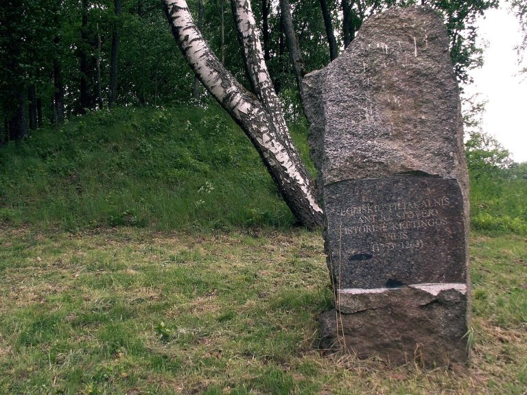
The hillfort is also known as Pilale, but that name was long associated with the largest burial mound in the Kurmaičiai burial-mound cemetery on the Akmena’s right bank. From the late nineteenth century through the first half of the twentieth, the mound was mistaken for the hillfort and called Pilale or Pilalių kalnas. Fiodoras Pokrovskis mentioned it in 1899, and Petras Tarasenka did so in 1928. Between 1923 and 1926, Nikodemas Tamošauskas levelled the mound while searching for religious treasures that legend placed beneath it.
Identification and protection
In 1944, German soldiers dug trenches across the hillfort’s platform, defensive embankment and fortified outer area while preparing positions on the Akmena’s left bank. On 11 October 1962, Ignas Jablonskis identified the actual hillfort. The site was surveyed in 1963, excavated by Algimantas Merkevičius in 1979-1980, and surveyed again in 1982 and 1992-1993. The excavations covered 680 square metres.
The hillfort received an official Soviet-era archaeological protection designation in 1972. It entered the register of immovable cultural properties in 1992, was declared a cultural monument in 1998, and became state-protected in 2005. It is now a cultural monument of national significance.
Remains
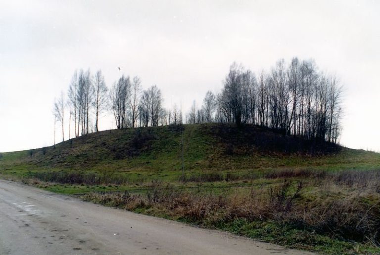
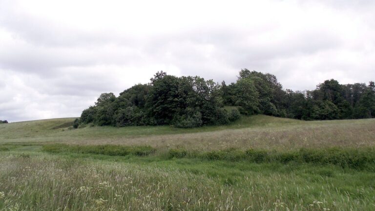
The hillfort occupies a promontory extending into the confluence of the Akmena and Pilsupis, in the northern part of the Padvariai reservoir. The reservoir surrounds the site to the east, north and west, while its steep slopes rise 9-12 metres above the valley. The layout centres on an almost rectangular platform, with a fortified outer area to its southwest.
Platform and rampart
The platform measures about 60 metres along a northwest-southeast axis and 25 metres across. Its northern part projects outward for 7 metres and is 10 metres wide, while the northwest section stands 1.5-2 metres above the rest. A raised defensive embankment, or rampart, curves slightly along the southwestern edge. It is 60 metres long, up to 8 metres wide and 1.6 metres high. Its western end meets the Akmena valley, and its eastern end lies about 5 metres from the Pilsupis slope. Excavation showed that the rampart was built in one operation. A section measured 5 metres across and up to 1.6 metres high, with a foundation of stones and clay about a metre thick. Large stones formed vertical walls along its edges, with smaller stones and earth filling the middle.
A defensive ditch ran along each side of the rampart; excavated sections measured 2.5-4 metres across and 0.6-1.7 metres deep. The ditches have since been filled, though traces remain in places. Plowing lowered the rampart, and a 4-5-metre-wide cut at its eastern end forms an entrance to the platform. The platform was formerly plowed, and parts of its western and northern edges have slipped or collapsed into the Akmena. Trenches cut into the western and southern platform edges and the rampart.
Forework
The forework descends southwest from the platform as a terrace running northwest to southeast. Its shape is trapezoidal: the northeastern edge measures 65 metres and the southwestern edge 80 metres, while its width increases from 23 metres at the northwest end to 30 metres at the southeast end. A long rise along the southwestern edge, up to 15 metres wide and 0.5-1 metre high, is the remains of a rampart lowered by plowing. Three ramparts, each about 5 metres wide and separated by ditches, defended the forework. Plowing has also reduced these ramparts.
Settlement and burial grounds
A settlement once covered 0.5 hectares south and southwest of the rise, at the foot of the hillfort. The Pajuodupiai burial ground lies 460 metres to the northwest, while the Kurmaičiai II burial ground is 500 metres to the west.
Excavated platform structure
Soil containing traces of human activity forms a layer 0.2-1 metre thick across the platform, deeper on its lower side. There, excavators found a structure with a semicircle of large stones 2-3.5 metres wide and an 18-metre gap between its ends. Wooden posts stood within the semicircle, spaced 2-3 metres apart. At the centre was a rectangular stone paving measuring 3 by 2.6 metres. Four round pits, each 2 metres across and 1 metre deep, lay 2-3 metres from the paving and semicircle. Their contents included dark, ashy soil rich in charcoal, burnt and cracked stones, and many pottery fragments. Comparisons with structures at other hillforts have led to a tentative interpretation of the arrangement as a sanctuary for pre-Christian worship. This type of structure had not previously been found at a hillfort in western Lithuania.
Excavated finds
Finds from the excavations include an iron awl, fragments of two iron knives, four pieces of stone whetstones, part of a stone grinder, and a fragment of a clay mould for casting a neck ring or bracelet with a circular cross-section. Excavators also recovered a piece of amber and about 200 fragments of handmade pottery. Most pottery pieces have smooth surfaces; others are brushed or finely roughened. The finds are held by the National Museum of Lithuania.
Condition and slope stabilization
The site is stable but overgrown with trees and shrubs. In 1981, after the Akmena was dammed, stone paving was laid to reinforce the slopes, but erosion soon resumed. A stabilization project in 1993-1994 added draining gravelly sand, a supporting mass of stone, gravel drains and a loam barrier. Workers also reinforced the eroding slope with brushwood lattice cells, filled them with soil containing couch-grass roots, and sowed grass.