Roman Sites in Croatia: Explore Ancient Cities, Temples and Aqueducts
Roman sites in Croatia include the streets and public buildings of Salona, a temple on Pula’s forum, an aqueduct built for Diocletian’s Palace and inland military and bathing complexes. The collection extends beyond the best-known monuments of Split and Pula to settlements and structures with different functions.
These examples follow a water supply from the Jadro towards Split, identify the surviving headquarters arches at Burnum and examine a thermal sanctuary at Varaždinske Toplice. They also distinguish Roman construction from the later repairs and adaptations that contribute to the buildings’ present appearance.
Primary Function: All
Type: All
Popularity: All
Rating: All
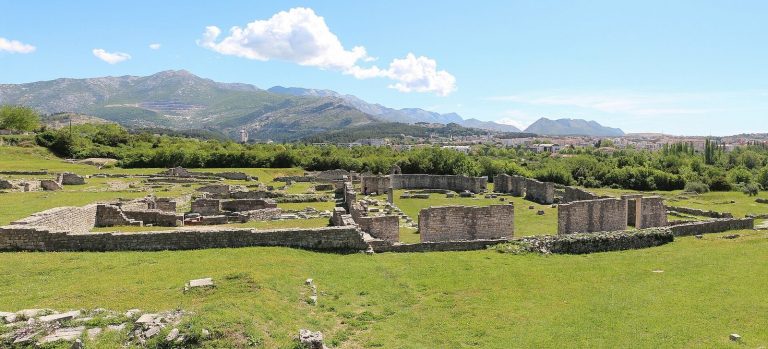
Salona near Solin was a major Roman city, an administrative capital, and an important Christian center whose urban, military, funerary, and…
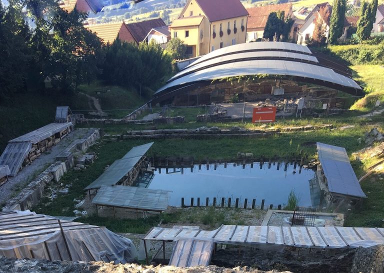
Aquae Iasae was a Roman thermal-healing settlement at Varaždinske Toplice, developed around sulfur-rich springs and used from the first to the fourth…
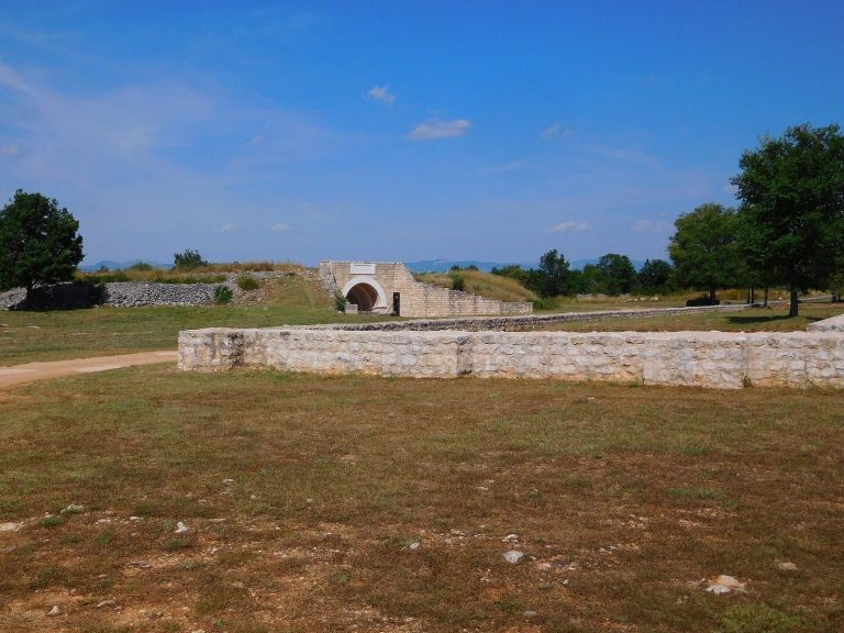
Burnum - principum was the command and administrative centre of a Roman legionary fortress in inland Dalmatia. Enlarged after a first-century revolt,…
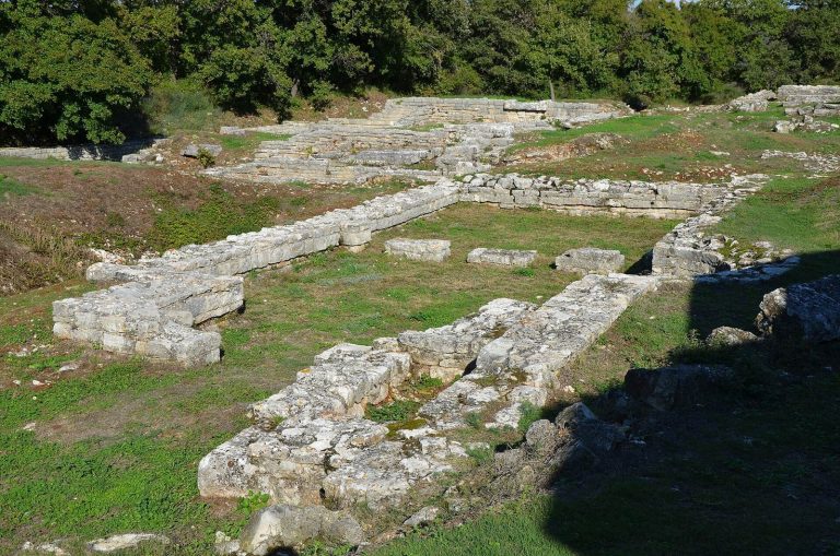
Nesactium was the principal center of the Histri before Rome conquered Istria in 177 BCE. Its archaeological park preserves prehistoric defenses and…
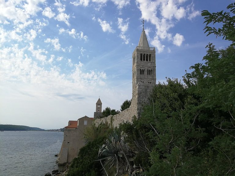
The Cathedral of the Assumption of the Blessed Virgin Mary in Rab preserves medieval architectural phases, an early Christian predecessor, Romanesque…
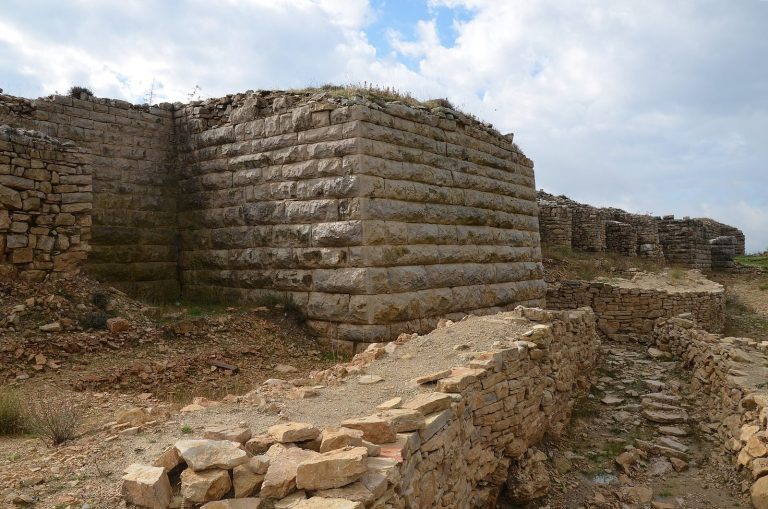
Asseria was a Liburnian hillfort that became a Roman municipium and trading center near Benkovac. Its remains include layered fortifications, a…
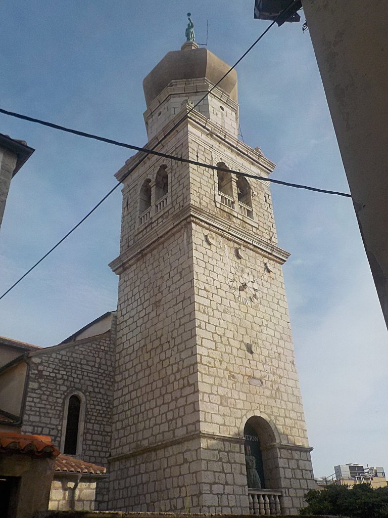
Krk Cathedral on the island of Krk developed from an early Christian basilica into a Romanesque cathedral and remains the seat of the Roman Catholic…
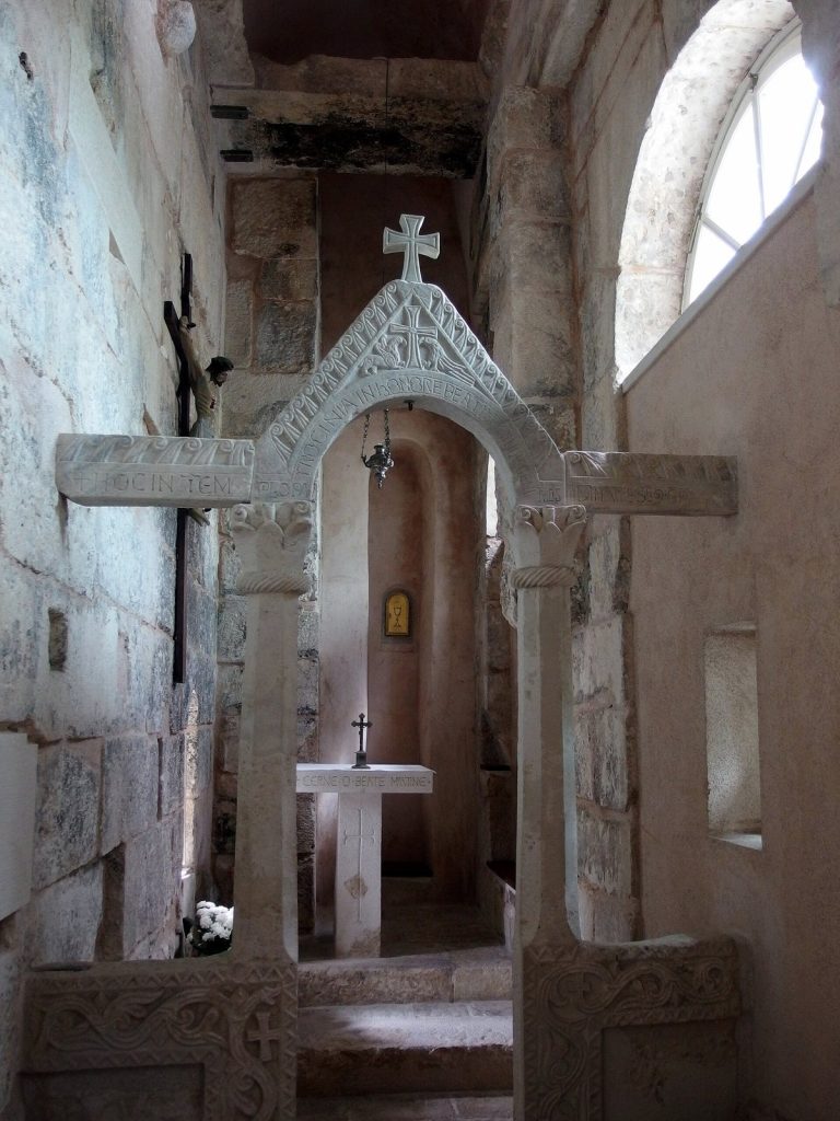
St Martin's Church in Split occupies a former Roman guardhouse above the Golden Gate of Diocletian's Palace. Converted during the sixth century and…
Velika Mrdakovica reveals the layered history of a Liburnian settlement that evolved under Roman influence, offering insights into ancient Adriatic…
Tilurium developed from a Delmataean hill-fort into a Roman legionary fortress controlling routes, valleys, and a bridge over the Cetina River. Its…
For details on how to use the maps, which sites are included, how popularity and ratings are determined, and how sites are classified, see the help page.
On this page6 sections
Salona’s streets, gateways and Christian buildings
Salona, near modern Solin, preserves the remains of a city that expanded beyond its earlier boundaries. Porta Caesarea originally formed a gate in the old enclosure, with a broad central passage for carts and smaller pedestrian openings to either side. After urban expansion reduced its defensive role, the structure supported part of the aqueduct.
The wider city included a forum, theatre, baths and an amphitheatre. The amphitheatre’s exposed substructures identify its elliptical plan, although much of the upper building was lost through damage and later demolition. Its position at the western edge of the town differs from the civic district around the old forum.
Christian construction added another centre. An episcopal complex contained basilicas, a baptistery and a bishop’s residence, while cemetery churches developed outside the earlier urban core. These substantial groups of remains allow the city’s public and religious buildings to be followed across different districts and periods.
The Temple of Augustus on Pula’s forum
The Temple of Augustus stands on a raised podium beside Pula’s public square. Four Corinthian columns form the front of its deep entrance porch, with further columns along the sides. Behind them, the enclosed sanctuary uses regularly cut stone blocks, and carved decoration runs beneath the roofline.
The ancient dedication honoured Roma and Augustus. Although the bronze letters have largely disappeared, fixing holes preserve evidence of the inscription. The building suffered severe wartime damage and was reconstructed using surviving fragments and archaeological documentation. Its standing form therefore includes substantial postwar rebuilding alongside ancient material.
Diocletian’s aqueduct: arcades and tunnels
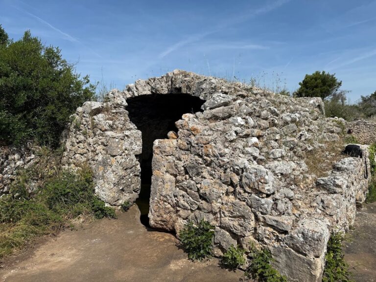
Diocletian’s Aqueduct carried water by gravity from the Jadro River towards the imperial palace at Split. Its route used open cuts, tunnels, channels laid on natural rock and elevated arcades. The high section at Dujmovača makes the above-ground construction especially clear, while other stretches crossed or passed through the terrain with much less exposed masonry.
Nineteenth-century rebuilding returned sections to use but changed some of their construction. Elevated stretches were simplified, and flat slabs replaced some earlier vaulted channel coverings. The surviving aqueduct therefore follows a Roman water route while incorporating later work; its visible arches and covers should not all be assigned the same date.
Headquarters arches at Burnum
At Burnum, standing arches mark part of the former legionary headquarters and its later civic development. The military complex contained a central courtyard, offices and spaces associated with the legion’s standards. Its position at the crossing of the camp’s main roads placed administration at the centre of the enclosure.
A later basilica incorporated the earlier arrangement after Burnum acquired municipal status. The surviving arches belong to this layered complex, popularly known as the Hollow Church. They are not the remains of a medieval church, and the headquarters should also be distinguished from a commander’s separate residence.
Baths and a spring sanctuary at Aquae Iasae
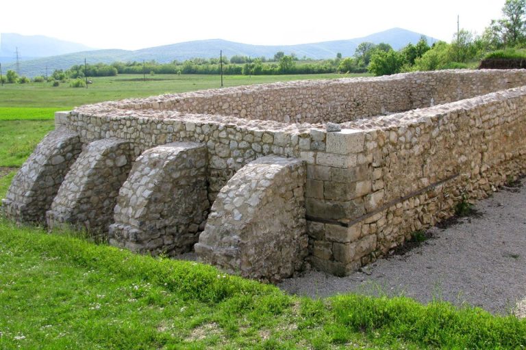
Aquae Iasae, at Varaždinske Toplice, developed around a natural thermal spring. A porticoed public square and religious buildings stood beside the bathing complex, bringing water supply, bathing and worship into the same setting. The spring determined the location and organisation of these buildings.
The thermal basilica preserves walls, a large semicircular recess and evidence of heating. Parts of the bathing complex retain plastered floors and wall decoration from a fourth-century rebuilding. An inscription records restoration under Constantine after a fire, connecting the architectural remains with a documented repair campaign. The site adds an inland, spring-fed establishment to the coastal cities and engineered water supply elsewhere in the collection.
Explore the collection
Explore sites on the map or in the grid. Map icons reflect each site’s primary function, helping you identify different kinds of places at a glance. Narrow the results by primary function, site type or era, with additional filters for popularity and rating. Select a map marker to view the site’s details and open its article, or open the article from its grid entry.