Fort bij Hinderdam: A Dutch Water-Line Fortification


Site at a Glance
- Rating
- 4.2
- Popularity
- Very Low
- Country
- Netherlands
- Primary era
- Modern
- Eras represented
- Early Modern, Modern
- Civilizations
- Dutch
- Site type
- Military
- Remains
- Fort
On this page14 sections
History
Fort bij Hinderdam is a former water-line fortification on an island in the Vecht in the Netherlands, at the boundary of Utrecht and North Holland within the municipality of Wijdemeren. The fort developed from a medieval dam and sluice complex into a seventeenth-century defensive work controlling shipping, the Vecht dikes, and nearby approach roads.
Dam and waterworks
Before the sluices were built, the Vecht connected directly with the Zuiderzee. Tides and storm surges could send floodwater as far as Utrecht. In 1288, a dam and sluice called the Otterspoordam were constructed between Breukelen and Maarssen. This marked the northern end of Utrecht’s overseas trade and shipping route. In 1437, the bishop of Utrecht ordered another dam farther north, just south of the border with Holland. The obstruction it created for shipping gave rise to the name Hinderdam.
The Hinderdam complex included sea sluices, a stop sluice, a drainage sluice, and a dam built in a bend of the Vecht. It initially had no military works. The sluice was demolished in 1674 after new sea sluices were constructed at Muiden. That year, Utrecht returned to the Union after French occupation on the condition that the Hinderdam sluice would not be rebuilt. Holland also secured the right to carry out military inundations, or controlled flooding for defense, in Utrecht territory.
Seventeenth-century fortification
In 1629, Habsburg and Spanish troops invaded from the east, occupied Amersfoort, and threatened to move westward. The States army responded by flooding low-lying ground as part of a water line, a defensive system that used dams, sluices, and controlled flooding to obstruct an invading army. The line ran along the Vecht and Vaartsche Rijn from Muiden to Vreeswijk, and the sluice at Hinderdam was opened as part of the operation.
An earthen redoubt was built at the dam that year to protect the sluice and secure the higher approach roads. The earthwork was strengthened in 1672, and construction of a bastioned fort began in 1673. After the sluice was removed, the fort continued to control movement along the Vecht and its dikes. During the eighteenth century it retained much of its seventeenth-century form and also supplied artillery support to Fort Uitermeer and Fort Kijkuit.
Water-line systems and modernization
In 1815, Fort bij Hinderdam became part of the New Dutch Water Line, a later Dutch defensive system based partly on inundation. The complex also included a detached lunette, an angular outlying earthwork, on the Nigtevecht side of the Vecht and another on the Nederhorst den Berg side, now within Wijdemeren.
A defensible guardhouse on the main island was completed in 1848. The development of rifled artillery, whose spiral-grooved barrels gave guns greater range and accuracy, made the earlier brick defenses inadequate. In 1879 and 1880, the guardhouse and earthworks were extensively altered. The building ceased to serve as an artillery position but remained useful for accommodation and storage. A covered, bombproof artillery shelter with an underground powder magazine and a projectile-filling area was constructed at the same time.
Twentieth-century service and decommissioning
In 1906, a sentry’s house was built on the bank of the Vecht, separate from the fort island. During the First World War, about 50 soldiers occupied the bombproof guardhouse, which contained two sleeping rooms, a guardroom, and a kitchen. In 1913, the fort became part of the Stelling van Amsterdam, a ring of forts and inundation zones intended to defend Amsterdam. From 1 September 1922, it formed part of the eastern front of Vesting Holland, the wider Dutch defensive framework that incorporated sections of the Amsterdam system.
Around 1935, three Type P group shelters were added to the island. During the 1939 mobilization, about 200 soldiers prepared the fort and its surroundings for a possible German invasion, including by digging trenches. The fortification was decommissioned by royal decree on 12 February 1954.
Later ownership and present status
On 12 June 1960, the Ministry of War transferred the island and its buildings to Stichting Het Noord-Hollands Landschap, which placed them under the management of the Unie van Watertoeristen. Volunteers adapted the island for water tourists by building a landing and swimming jetty and removing some vegetation. The buildings were bricked up and received no broader restoration.
Fort bij Hinderdam is now owned by Vereniging Natuurmonumenten and has an ecological designation. It is protected as monument number 531353. The island’s ecological function and sealed historic buildings form part of its present condition.
Remains
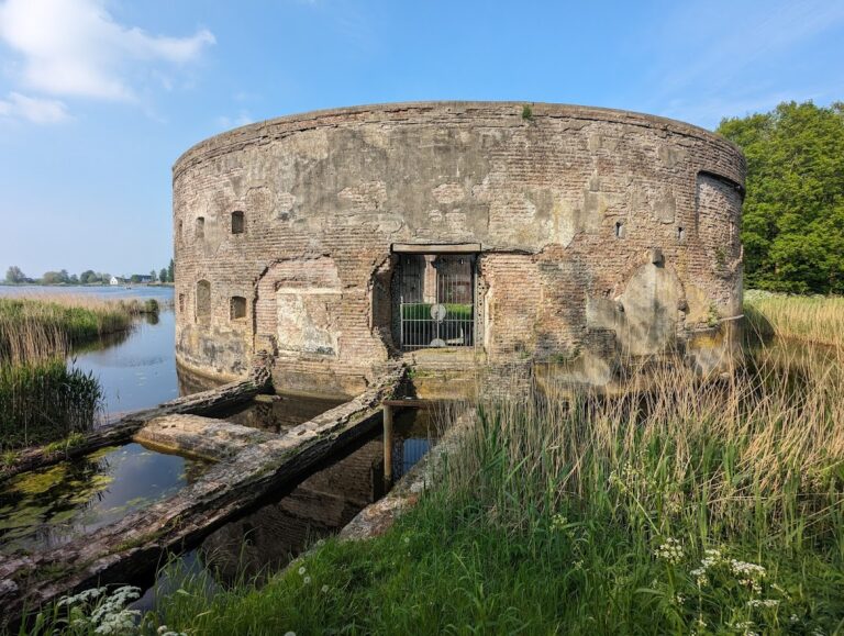
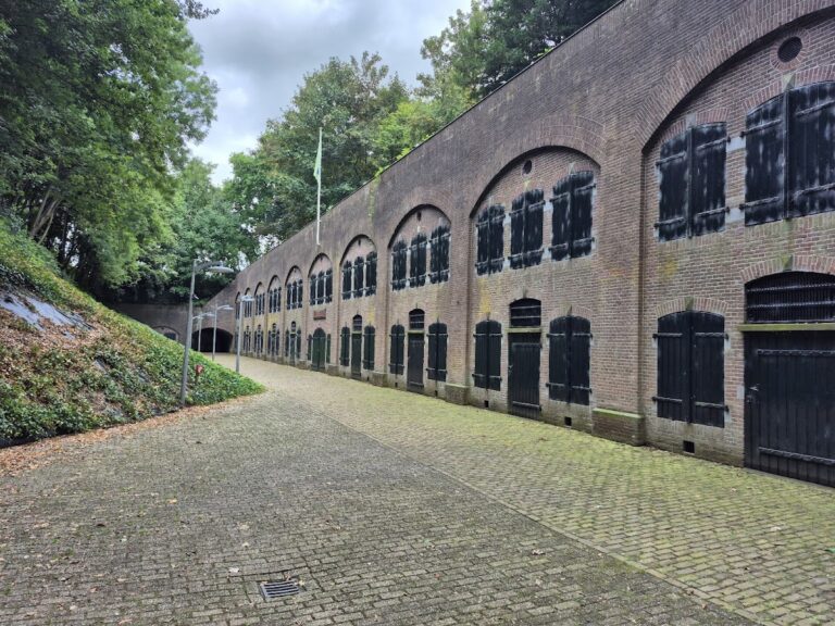
The fort occupies a small island in the middle of the Vecht. Brick is the principal construction material, while trees and shrubs now heavily cover the island and its surviving buildings. The remains combine the seventeenth-century fortification with nineteenth- and twentieth-century military structures, earthworks, and detached lunettes connected with the wider defensive landscape.
Main island buildings
Guardhouse
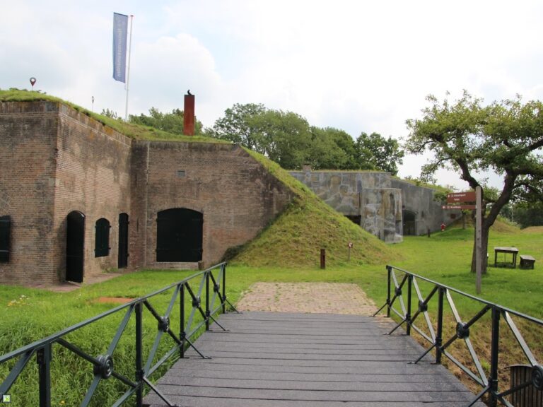
The 1848 guardhouse consisted of a main building with three large rooms covered by masonry vaults for enlisted men and non-commissioned officers, together with two wings. The east wing held the kitchen, while the west wing contained privies and a small storage room. The sleeping rooms were tall enough to accommodate an intermediate floor.
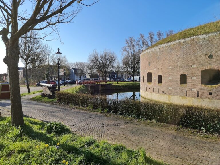
Artillery and small-arms loopholes were arranged around the building. A narrow wet moat surrounded it, and a drawbridge provided entry. On the north side, stairs led first to the kitchen roof and then to the main roof, where a parapet allowed artillery to be placed behind cover. The 1879–1880 modernization blocked several loopholes, removed the moat and roof parapet, and covered the structure with a thick layer of earth banked against its brick walls.
Bombproof artillery shelter
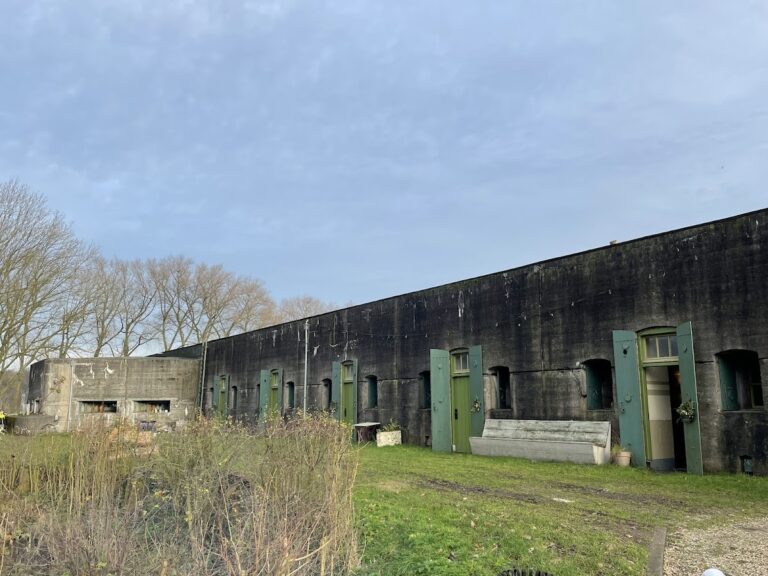
The covered bombproof artillery shelter built in 1879–1880 contained an underground powder magazine and a projectile-filling area. It belongs to the modernization that adapted the fort to the greater range and accuracy of rifled artillery.
Later military structures
Three Type P group shelters were added to the fort island around 1935, and trenches were dug around the fort during the 1939 mobilization. Several nineteenth- and twentieth-century military structures survive, although they are heavily deteriorated. The buildings have been sealed and now provide shelter for bats.
Detached lunettes
Northern lunette
The northern outer lunette on the Nigtevecht side survives as a recognizable small island surrounded by a moat. Its earthworks remain identifiable, although their sharp profile has disappeared.
Southern lunette
The southern inland lunette on the Nederhorst den Berg side has lost its moat completely. Its outline remains faintly discernible in the bend of the Hinderdam road.
Nearby sites