Castle of Castro: An Islamic Mountain Fortification in Spain

Site at a Glance
- Rating
- 4.7
- Popularity
- Low
- Country
- Spain
- Primary era
- Medieval
- Eras represented
- Medieval
- Civilizations
- Unclassified
- Site type
- Military
- Remains
- Castle
On this page11 sections
History
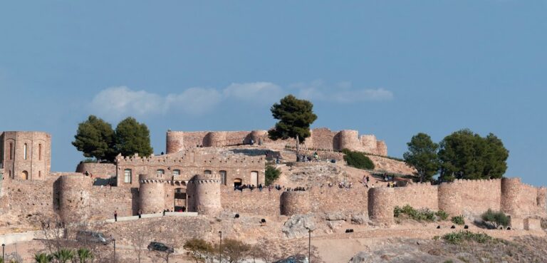
The Castle of Castro is an Islamic fortification in Spain, standing in the municipality of Alfondeguilla in the Sierra de Espadán. Its early origins remain uncertain. It has been identified variously as a Roman or Punic watchtower dependent on Sagunt, or as an Arab watchtower built shortly before the Christian era. The surviving remains belong to Islamic civilization. From its mountain position, the castle controlled a broad territory known as the Valley of Castro, together with the settlement of Castro and the outlying settlement of Benissabdó.
Islamic administration and territorial control
The communities under the castle formed an aljama, a formally recognized Muslim community that retained internal administrative and fiscal functions. This territorial organization continued in modified form after the Christian conquest of Valencia. The castle’s position was regarded as extremely difficult to conquer, a reputation reflected in a local legend. According to the story, besiegers attached lit candles to goats’ horns and drove the animals uphill at night. The defenders supposedly mistook the moving lights for approaching reinforcements and abandoned the fortification.
The medieval relationship between Castro and Alfàndec is uncertain. Although the Chronicle of James I, the thirteenth-century king whose conquests established Christian rule over much of Valencia, treats their castles as separate, Alfàndec may originally have depended on Castro or on the Valley of Uixó. In 1277, Peter III of Aragon, James I’s successor, granted one settlement charter for both communities. They subsequently formed part of the Valley of Uixó while retaining a distinct territory without full independence.
Destruction and later status
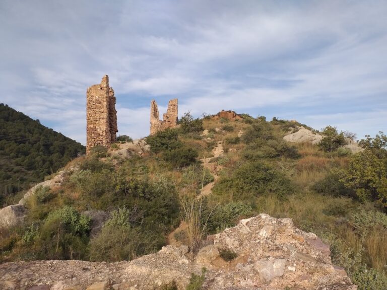
The tower of homage was demolished in July 1938 during the Spanish Civil War. The cause remains uncertain. The destruction has been attributed either to Francoist aviation or, according to an elderly local tradition, to Republican forces that regarded the tower as a reference point for bombardment. The castle is now abandoned. It was designated a Spanish Asset of Cultural Interest on 25 June 1985 under reference RI-51-0012108.
Remains
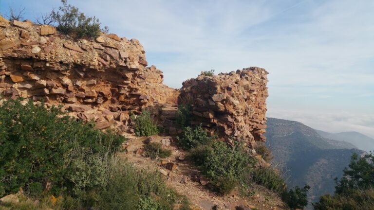
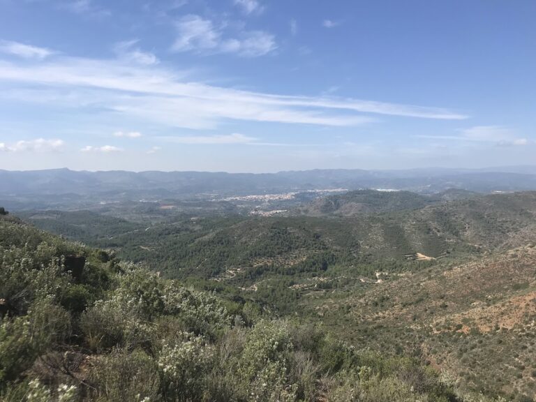
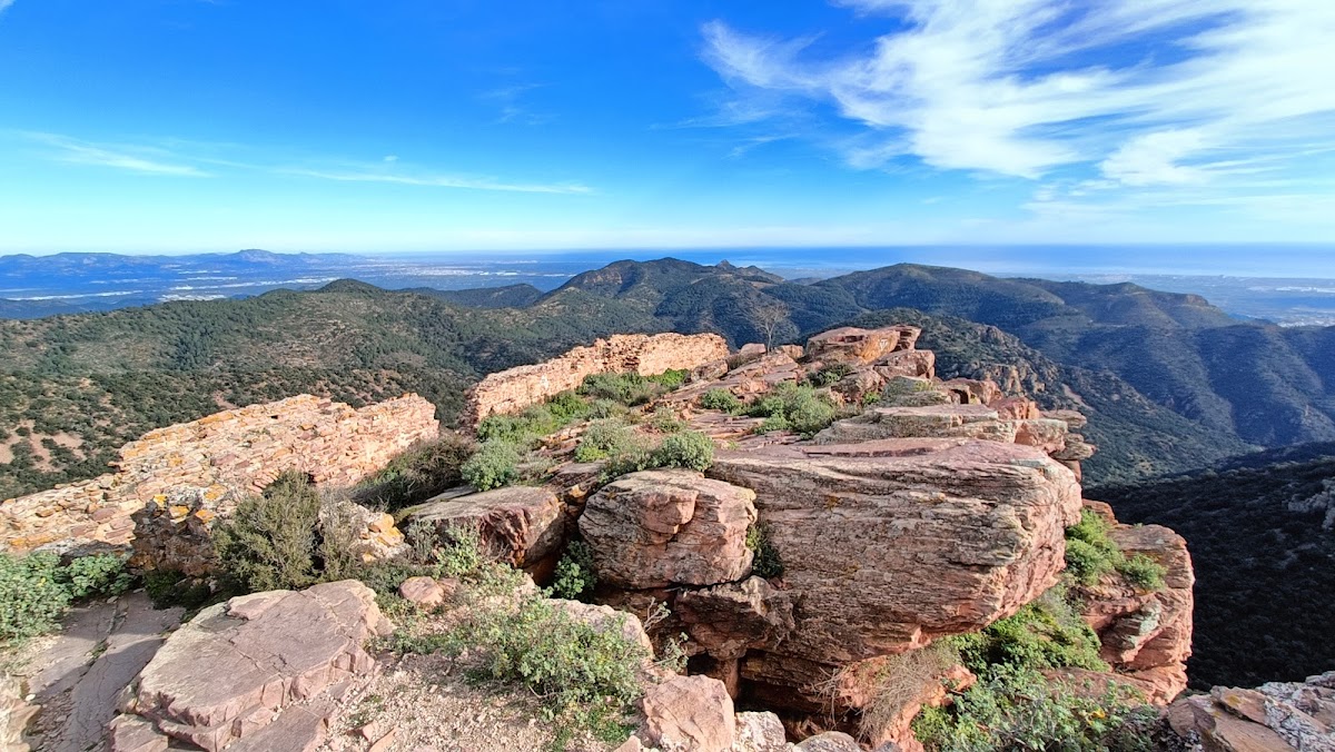
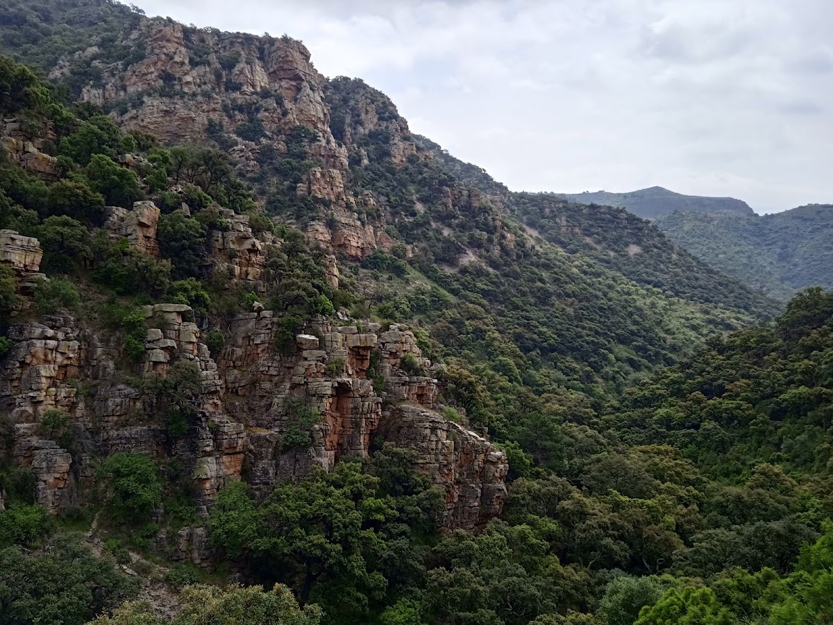
The fortification occupies the summit of the Castro peak at approximately 787 metres above sea level. It covers about 2,000 square metres and is suspended between the Castro ravine to the east and the Horteta ravine to the west. The surrounding ridges include Boix Pass to the north and the Moixell, Denàs, and Cantallops crags to the south. Springs associated with the ravines include Penyeta, Forcall, and Figuera. The position commands extensive views from the Santa Àgueda peaks near Benicàssim toward the coast, and from Penyagolosa toward the Columbretes Islands.
Outer defenses
Western approach
The fortification uses the steep natural terrain as part of its defenses. On the western side, it rests on precipitous rocks that make access from outside extremely difficult. The ridge itself also formed part of the controlled landscape, linking the castle with the northern and southern approaches.
Eastern defenses and towers
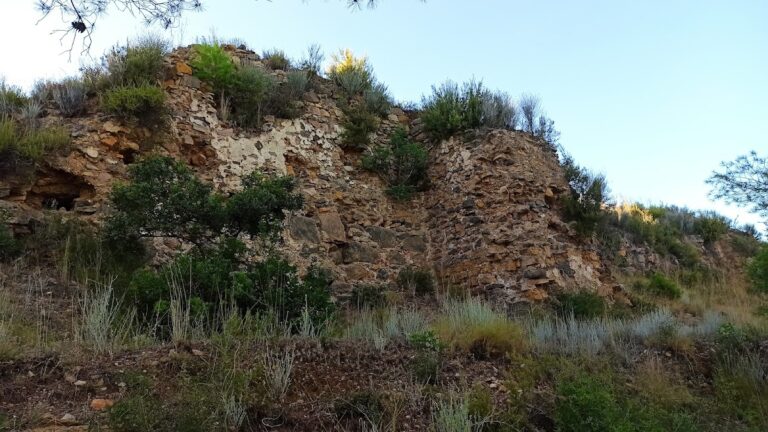
The eastern approach contained three successive defensive systems. A difficult cliff was followed by a compact rammed-earth wall enclosing the albacar, a fortified enclosure intended to shelter the surrounding population during danger. A larger wall, more than 65 metres long, separated this enclosure from the main castle. Rammed earth, also called tapial, was made by compacting earth within formwork to create strong walls.
Three towers strengthened the eastern wall. A square tower on the south defended the entrance rising from Cantallops. A round tower on the north connected the eastern slope with the wall extending northward, while a quadrangular tower stood at the northern end of that wall. An entrance from Boix Pass lay between the two northern towers.
Enclosures and internal remains
The albacar
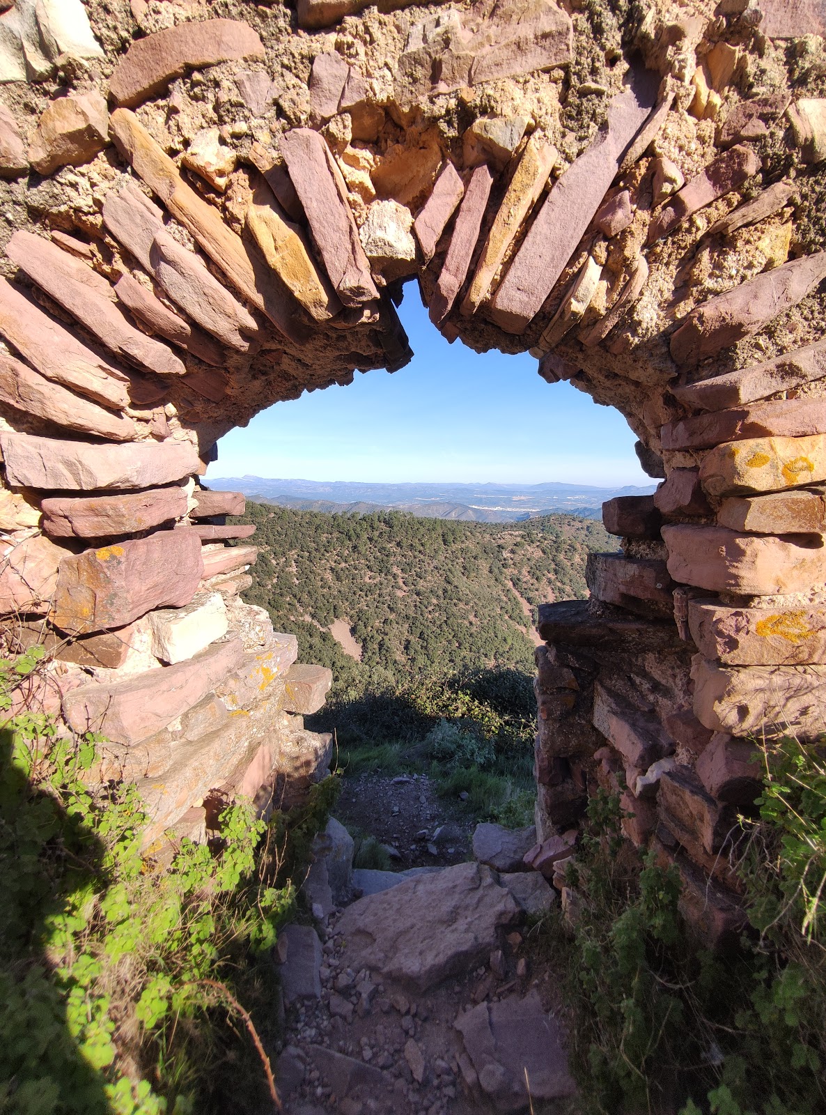
The eastern albacar was fully enclosed by walls and served as a refuge for the populations under the castle’s jurisdiction. Its entrances were protected by the defensive towers. A relatively small passage connected it with the castle proper and ended in a horseshoe-shaped arch.
The castle proper
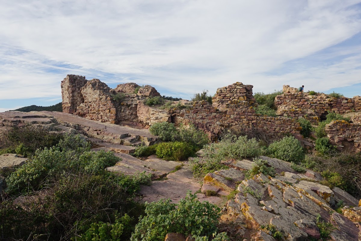
The lower part of the main castle consists of irregular rock formations entered through the castle gates. Habitation remains survive among these rocks. Two rocks in the lower section bear eight engraved marks each. Older residents interpreted the marks as the eight victories of the castle, but that meaning belongs to local tradition rather than an established interpretation.
The upper section
The upper section, or celoquia, covered approximately 400 square metres. This was the upper part of the Islamic castle and contained its principal living and service spaces, including living quarters, cellars, and cisterns. The tower of homage once dominated this area above the Horteta ravine, but its destruction in 1938 means that it no longer survives as an intact structure.