Zohar Fort: Two Ancient Structures on a Roman Road in Israel
Site at a Glance
- Popularity
- Medium
- Country
- Israel
- Primary era
- Medieval
- Eras represented
- Iron Age, Medieval
- Civilizations
- Crusader, Israelite, Kingdom of Jerusalem, Mamluk
- Site type
- Military
- Remains
- Fort
On this page8 sections
History
Zohar Fort comprises two ancient structures beside Zohar Stream in Israel. The site lies on a Roman road associated with the Limes Palaestinae, a Roman frontier system in Palestine established in the third century CE during Emperor Diocletian’s reign (284–305).
The eastern structure
In 1957, archaeologists Yohanan Aharoni and Beno Rothenberg identified the eastern remains as an “Israelite” structure. Aharoni assigned it to Iron Age II, a phase of the Iron Age in the Levant, dating it to around 1000–800 BCE. He based this estimate on a few coarse pottery sherds, although Hellenistic pottery, from the period following Alexander the Great’s conquests, was abundant at the site.
Aharoni argued that the structure overlooked the Edom road and connected that route to the biblical account in 2 Kings 3:8–20. The passage describes Judah’s King Jehoshaphat taking part in a war against Moab, an ancient kingdom east of the Dead Sea.
Excavations at the eastern structure in 2025 yielded finds attributed to periods of Ptolemaic and Seleucid rule. These were successor kingdoms that emerged after Alexander’s conquests.
The western structure
Often called the “Roman” fort, the western structure has received several different proposed dates. British traveler Henry Baker Tristram visited it in 1864 and assigned it to the Crusader period, an era of Latin Christian rule in parts of the eastern Mediterranean. Israeli researcher Natan Shalem later proposed a Roman or Byzantine date. A small test excavation in 2004 dated the structure to the Crusader and Mamluk periods. The Mamluks were a military ruling class whose sultanate later governed Egypt and surrounding territories.
The western structure probably served as a station on the postal road between Gaza and Kerak.
Remains
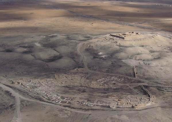
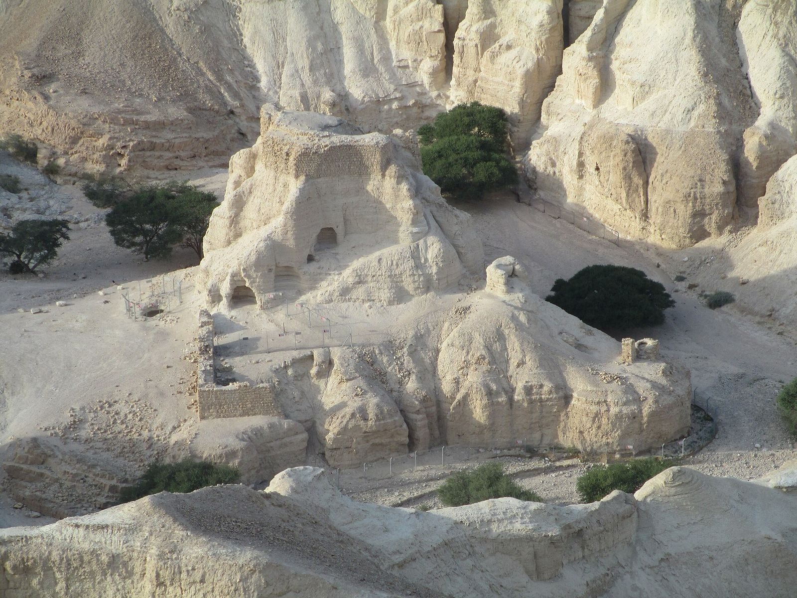
The two structures occupy different positions beside Zohar Stream. The eastern remains lie near the stream’s outlet into the Dead Sea, while the western compound stands on a cliff above the stream. The eastern site includes a stone mound and a separate L-shaped structure; the western site is a stone-walled compound.
Eastern structures
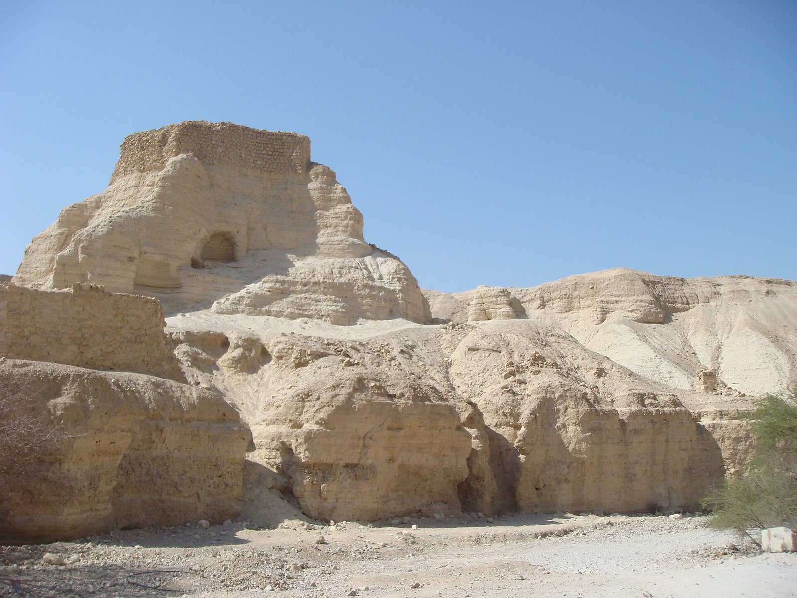
Eastern mound
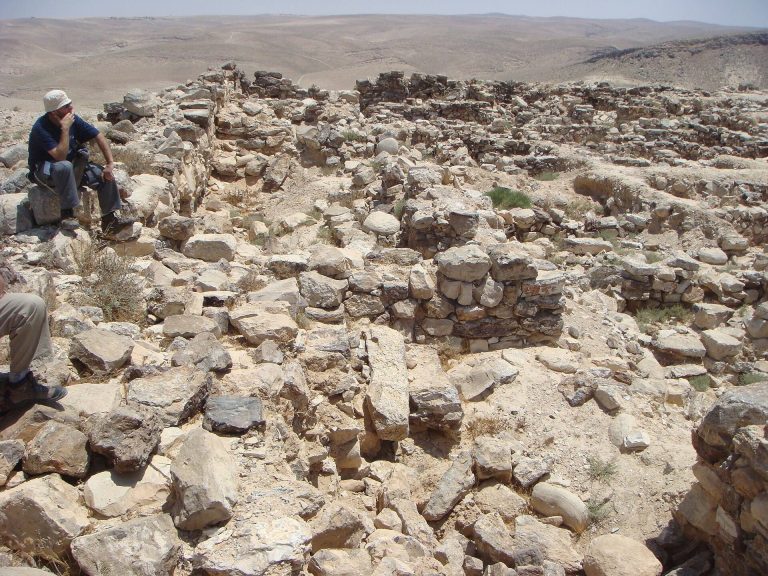
The eastern structure occupies the southern spur of a mountain formed from Lisan marl, soft sedimentary material associated with deposits of former Lake Lisan. It now appears as a roughly circular mound of large stones. Rothenberg considered the original structure a square fort measuring about 11 by 11 meters and approximately five meters high.
L-shaped structure
A separate L-shaped structure stands about 70 meters southwest of the eastern mound.
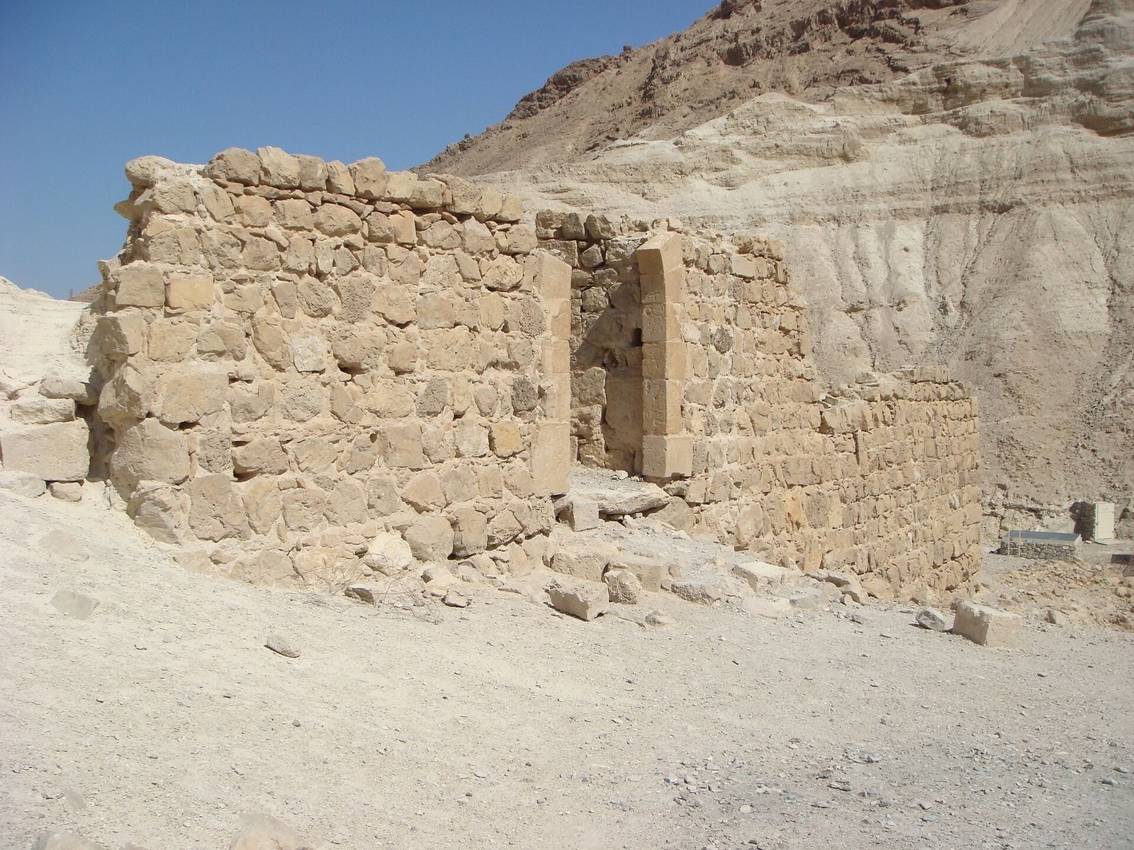
Western compound
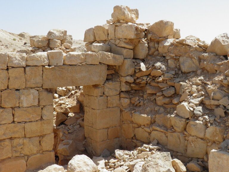
The western structure is a stone-walled enclosure with an arched entrance on its west side. A tower stands at the top of the cliff above the wall, and pits occupy the compound’s western part.