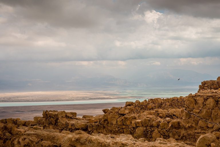
Mezad Tamar: A Roman-Byzantine Frontier Fortress in Israel
Site at a Glance
- Popularity
- Medium
- Country
- Israel
- Primary era
- Classical
- Eras represented
- Classical
- Civilizations
- Nabataean, Roman
- Site type
- Military
- Remains
- Fort
On this page10 sections
History
Mezad Tamar is a Roman-Byzantine fortress in Israel’s northern Negev, in use from the mid-third century to the late seventh century AD, with evidence for an earlier Nabataean fort on the site. The Nabataeans were an ancient Arab people whose kingdom controlled parts of the southern Levant and neighboring regions. In their period, the area served as a station on a route from Moab, an ancient kingdom east of the Dead Sea, and the Jordan Valley, through Mamshit, a Nabataean settlement in the Negev, to Beersheba and beyond.
Nabataean occupation and Roman control
Rome took control of the fort and other regional buildings and settlements when it conquered the Nabataean kingdom in AD 106. Roman authority continued through the reign of Hadrian and perhaps beyond. The Romans later restored the fortress as part of Emperor Aurelian’s reorganization of eastern administration after Palmyra, a major city whose revolt challenged Roman rule. Refurbishment took place in the final third of the third century.
Roman and Byzantine frontier service
Mezad Tamar became part of the later Roman and Byzantine frontier system. Byzantine refers to the eastern Roman Empire in its late-antique period. A late-fourth-century Roman military register lists the Palestinian Battalion at Tamara, a place many scholars identify with Mezad Tamar. During the fifth century, agricultural militia replaced regular troops, and the fortress also acquired administrative duties.
Persian destruction and the final phase
The Persian conquest in AD 614 caused extensive damage to the fortress. It was hastily restored in preparation for the Arab conquest and remained a fortress until the Arab conquest of Palestine. The interior buildings were rebuilt from their foundations at least once, probably after earthquakes that periodically affected the area.
Identification and archaeological work
Albrecht Alt and many later scholars identified Mezad Tamar with Tamara, a place named in works including Ptolemy’s geography, the Peutinger Map of Roman roads, Eusebius’s Onomasticon, and the late-Roman register Notitia Dignitatum. Yohanan Aharoni and Michael Avi-Yonah instead placed Tamara at Hatzeva, while geographical and historical considerations support Alt’s identification. P. Frank surveyed the remains in 1923, followed by G. A. Kirk in 1937. Tel Aviv University excavations began in 1973 under archaeologist Mordechai Gichon and continued from 1974 to 1976.
Remains
Fortress plan and defenses
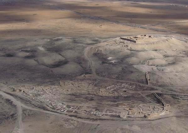
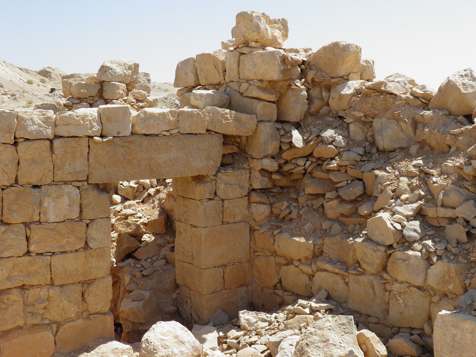
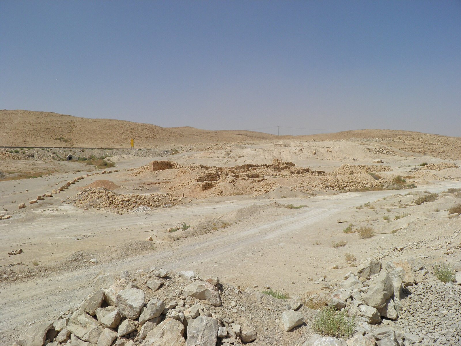
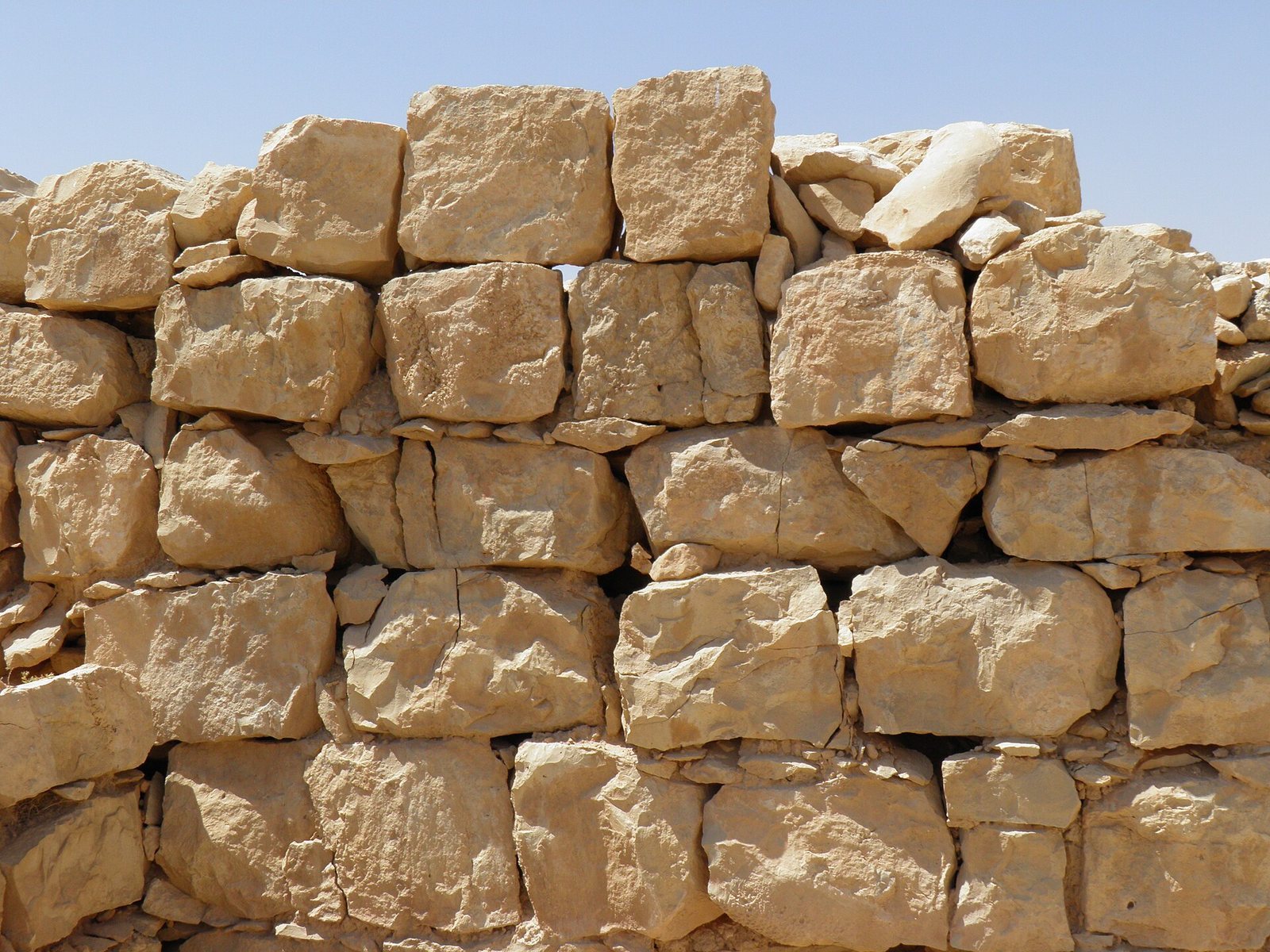
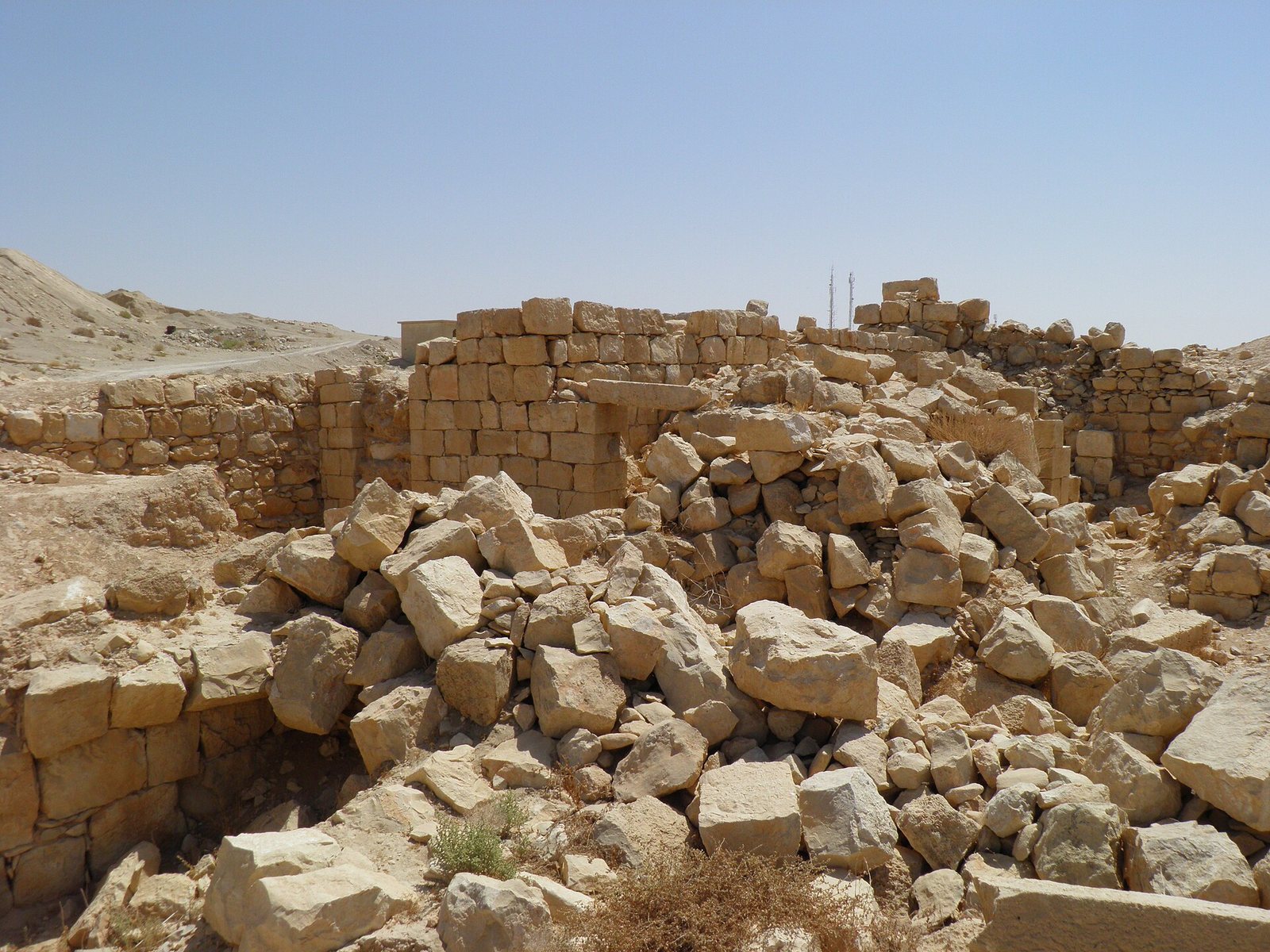
At the head of Ma’ale Tamar, an ancient path descending from Hatzera Ridge toward the Arava and the southern Dead Sea, the fortress has a square plan measuring 36 metres on each side. Dressed-stone walls, averaging 1.25 metres thick, enclosed an open courtyard. Their outer faces had glossy white plaster, with a different finish on the interior. Four projecting square towers, each 6 by 6 metres, formed the main defenses; they survive to 5 metres high and probably rose above the walls, with firing positions at their tops. The sole entrance is centered in the northwest wall. Repairs remain visible, and at least one wall section collapsed in an earthquake, its courses falling into the courtyard. Projecting stone supports held timber beams about 5 metres long, which roofed the first floor.
Interior buildings and water supply
The fortress contained 37 timber-roofed rooms, each measuring 4 by 4 metres, most opening onto the courtyard. Beside the entrance was a guardroom; the large room opposite may have been a workshop or central bakery. Rooms on the southwest and southeast sides housed the centuria, a subdivision of a Roman legion, and its commanders, while those on the northeast held the headquarters. A covered pool at the courtyard’s center measured 10 by 10 metres and was 3.8 metres deep. At least 12 piers supported timber beams and stone slabs above it. The pool collected runoff from the rooms’ flat roofs; additional water came from Ein Tzafit in Nahal Tzafit and from local reservoirs that captured floodwater.
Archaeological layers and finds
Lower layers contained unpainted Nabataean vessels, while ash and refuse deposits outside the southeastern wall held large quantities of painted Nabataean pottery. Sand separated these deposits from upper layers. The contrast between the pottery groups has been interpreted as evidence of Roman takeover; the continued use of unpainted Nabataean pottery may indicate that Nabataeans served in the new garrison. Finds also include three coin hoards with 450 coins in total, tiny inscribed papyrus fragments, abundant pottery, and a seal bearing a portrait of Zeus-Serapis, a Greco-Egyptian form of Serapis associated with Zeus.
Inscriptions
Nearly 30 Greek inscriptions were found at the fortress. Some bear initials and abbreviations thought to refer to architects, builders, or stonecutters. They were painted in red on stones that were later covered with plaster.