King John’s Castle in Carlingford: A Medieval Stronghold in Ireland
Site at a Glance
- Popularity
- Medium
- Country
- Ireland
- Primary era
- Medieval
- Eras represented
- Medieval
- Civilizations
- Norman
- Site type
- Military
- Remains
- Castle
On this page8 sections
History
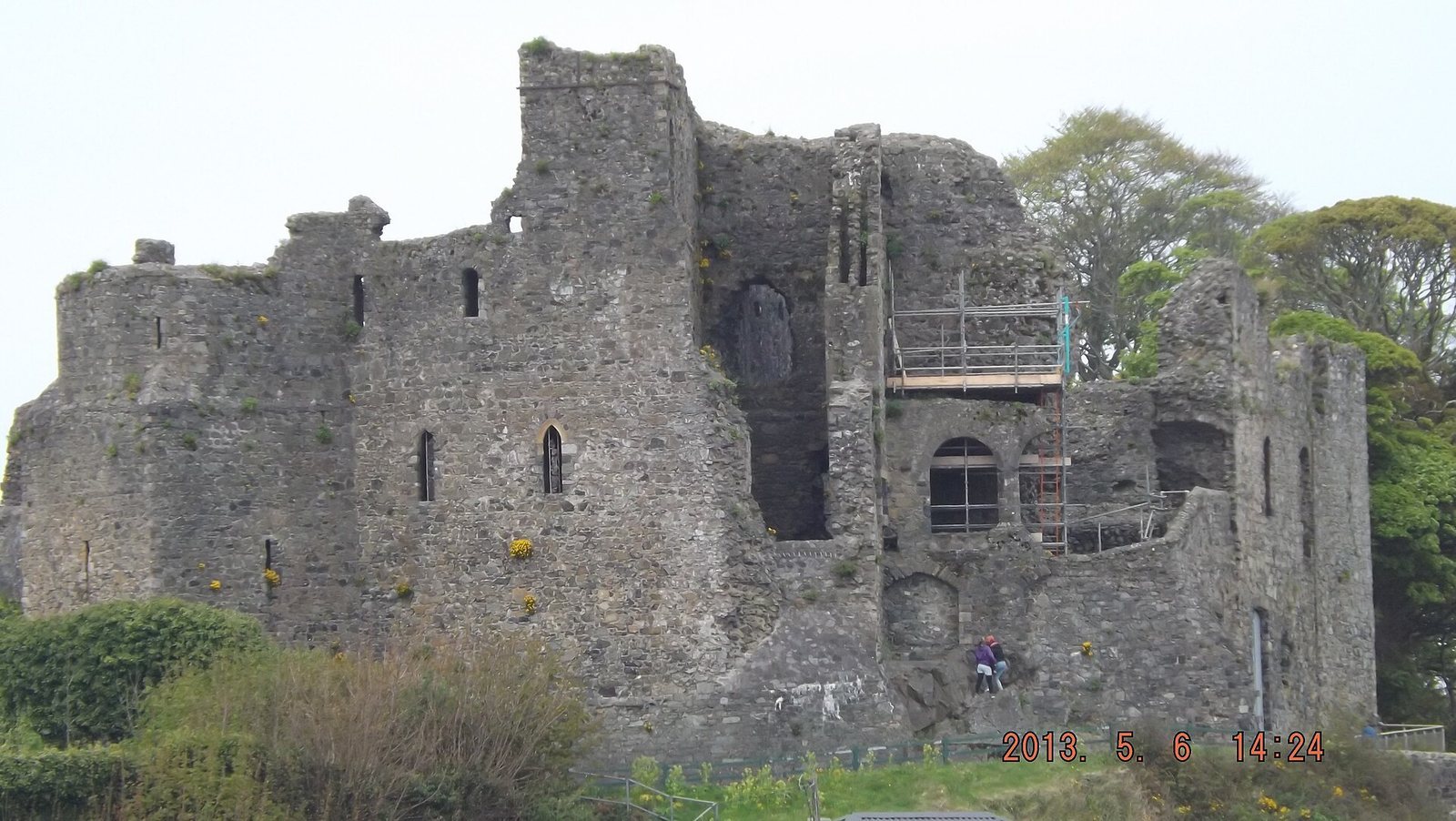
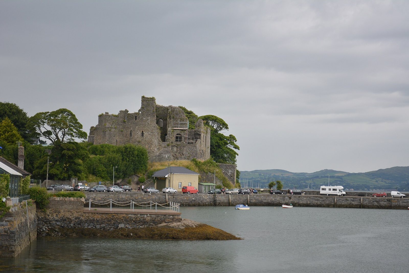
King John’s Castle in Carlingford is a ruined stronghold in Ireland. Hugh de Lacy, Lord of Meath, built its west wing in the late 12th century, during the Anglo-Norman arrival and expansion in Ireland. The castle’s construction is also associated with Ralph Pepper in 1204.
Origins and King John’s association
The castle acquired its name from the tradition that King John, who ruled England and held the title Lord of Ireland, stayed there for three days in 1210. On his second expedition to Ireland, John entered Ulster to apprehend Hugh de Lacy, 1st Earl of Ulster. Local tradition also holds that John began drafting Magna Carta at Carlingford. The charter, which set limits on royal authority, was agreed in 1215.
An east wing was added around 1261. In 1326, custody of the castle was entrusted to Geoffrey le Blound. Edmond Loundres served as constable in 1388, followed by Stephen Gernon in 1400. A constable was responsible for a castle’s custody or administration.
Conflict and military use
Henry MacShane O’Neill attempted to take the castle in 1596. During the Irish Confederate Wars, a series of 17th-century conflicts involving the Irish Catholic Confederation and other forces, the Confederation held it. Sir Henry Tichborne captured the castle in 1642; Murrough O’Brien, 1st Earl of Inchiquin, took it in 1649; and Charles Coote, 1st Earl of Mountrath, took it in 1650.
In 1689, Jacobite forces fired on the castle. Jacobites supported the deposed James II, while Williamites supported William III in the Williamite War in Ireland. Before the Battle of the Boyne, the Williamite commander Frederick Schomberg used the castle as a hospital for his forces.
The castle is protected as a National Monument of Ireland under the official designation Carlingford Castle, reference number 249.
Remains
Enclosure and principal wings
Enclosure
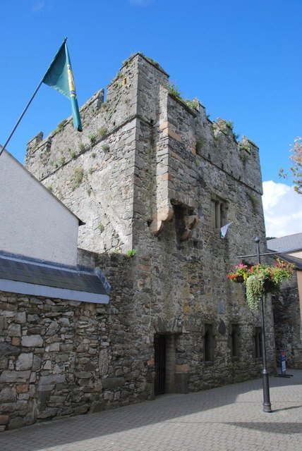
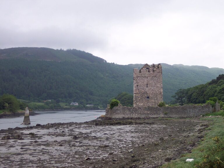
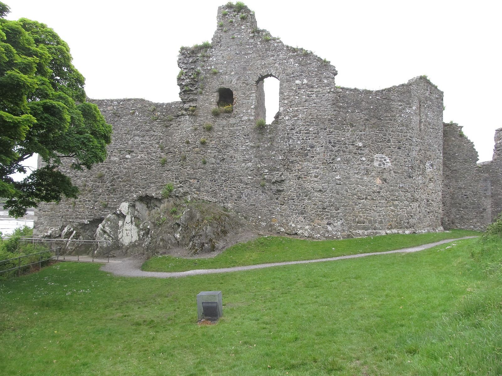
The ruined castle has a D-shaped plan, with an enclosure built of irregular rubble stone. Its walls are about 3.4 metres thick. The site stands at the harbour of Carlingford, halfway along the south shore of Carlingford Lough on the Cooley Peninsula, at a listed elevation of about 6 metres above sea level.
West wing
The west wing’s outer defensive wall had a gatehouse and a square flanking tower. Deep openings in the wall and narrow slits for defenders to shoot through form part of its surviving defenses.
East wing
The east wing contains a large rectangular hall with a basement beneath two principal storeys.