Ramkot Fort: A Hilltop Stronghold in Pakistan
Site at a Glance
- Popularity
- High
- Country
- Pakistan
- Primary era
- Early Modern
- Eras represented
- Early Modern
- Civilizations
- Unclassified
- Site type
- Military
- Remains
- Fort
On this page10 sections
History
Early traditions and medieval control
Ramkot Fort is a hilltop stronghold in Dadyal, Mirpur District, Azad Kashmir, Pakistan. Its earliest construction is traditionally dated to the 5th century, although the original fort no longer survives. An earlier Hindu temple at the site has also been interpreted as evidence that Hindus built a fort here earlier than once believed.
An information board at the entrance states that Sultan Muhammad of Ghor occupied the fort in 1186. He was a ruler of the Ghurids, a medieval dynasty that extended its power from Ghor into parts of South Asia. By the late 14th century, the fort was controlled by Jasrat, a Khokhar chieftain of Punjab. In 1398, Khokhar forces defeated the invading army of Amir Timur, a Central Asian ruler and conqueror, at the fort.
Later construction and Gakhar rule
The present structure probably dates to the 16th century. British geologist and historian Frederick Drew attributed its construction to Taghlu, a Gakhar chief. This differs from the historical sequence given on the entrance board, which records the fort’s occupation by Sultan Muhammad in 1186.
Gakhar Queen Mangla had the fort renovated during her reign. Her daughter married a son of Mughal emperor Aurangzeb Alamgir, who ruled much of South Asia in the 17th century. The fort also held strategic importance because one of four ancient routes to Srinagar passed through it. One proposed explanation for the name Ramkot links it to nearby Pharwala, identified as the birthplace of Ram Chandra, a major figure in Hindu epic tradition.
Remains
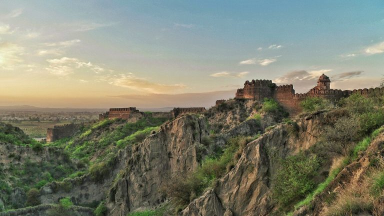
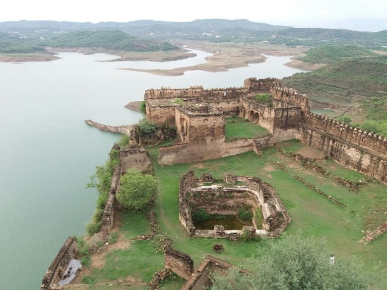
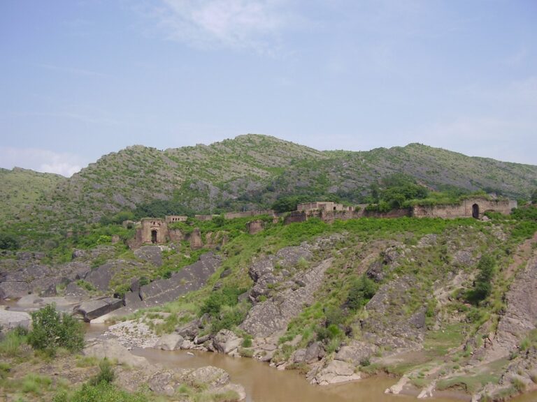
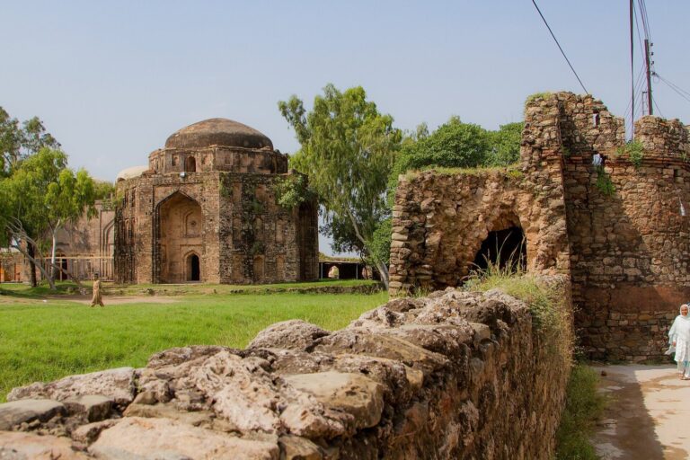
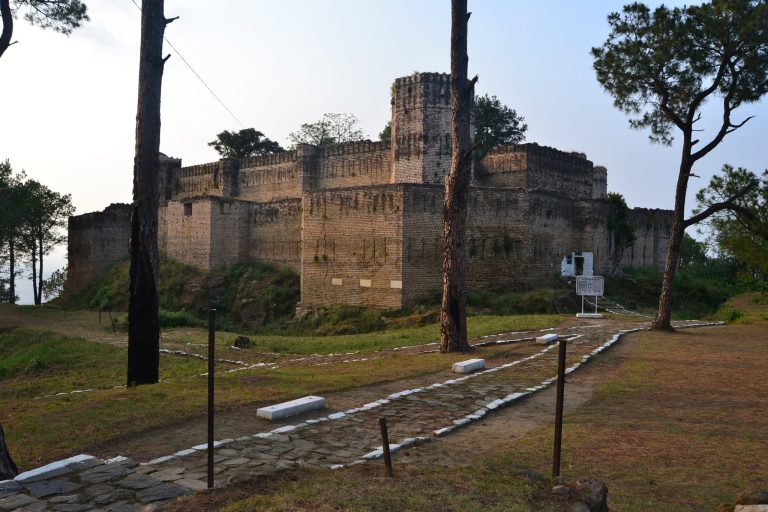
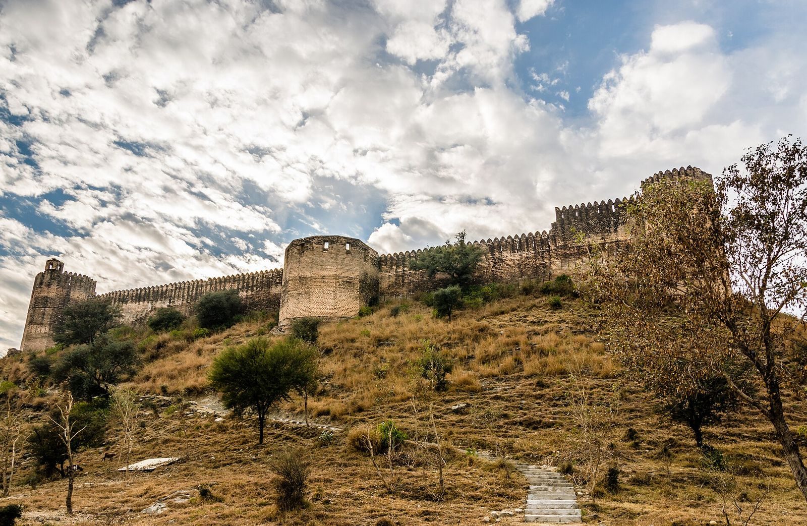
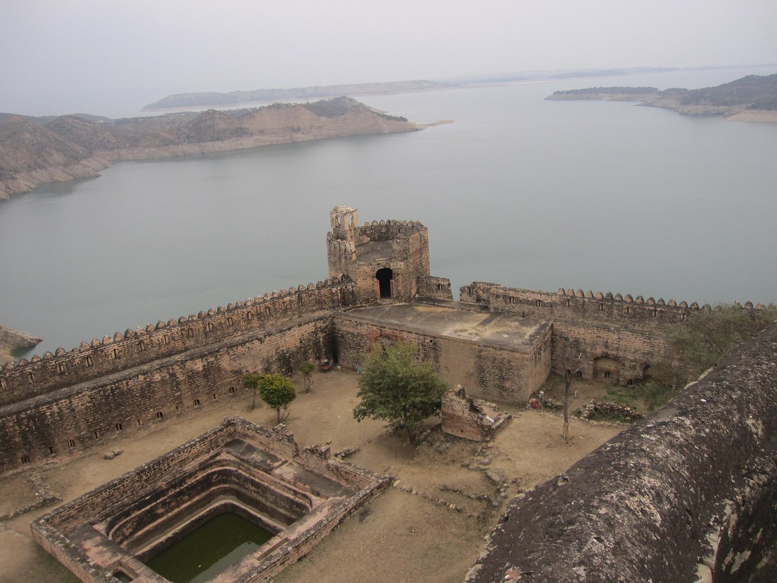
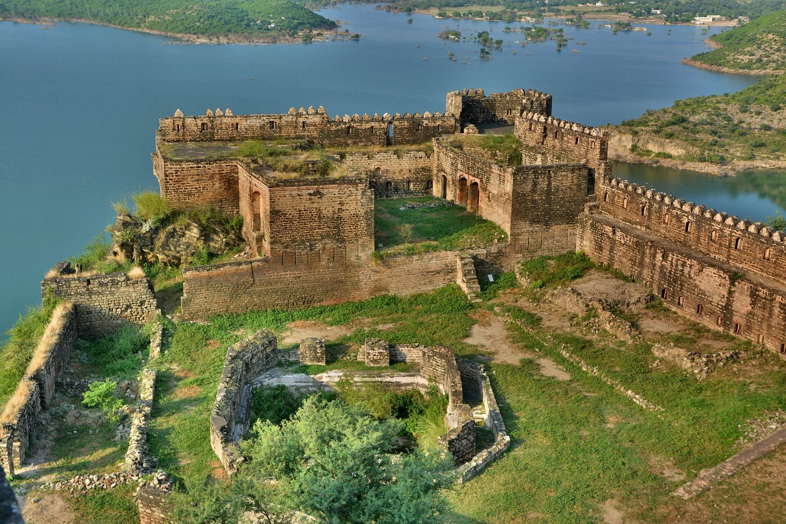
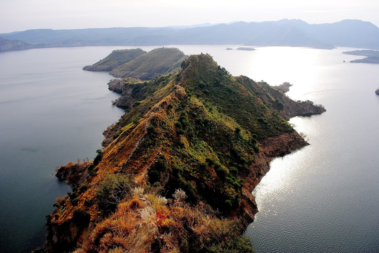
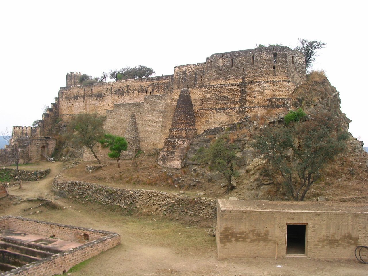
The fort occupies a large area on a hilltop, with the Jhelum River around three sides. Its remains include a principal gate, interior ponds, temple remains, and ruined rooms. Stone is used across the fort, while the main gate is built of red brick.
Setting and defenses
Hilltop setting
Before Mangla Dam was built, the site stood where the Jhelum and Poonch rivers met. The river now surrounds three sides of the hilltop. Two ponds inside the fort collected rainwater, providing a supply suited to the elevated location and its former position at the rivers’ meeting point.
Entrances
A flight of 440 steps leads to the main gate, which rests on sloping rock in a defensive position. Its red brick contrasts with the stone used elsewhere in the fort, suggesting that the gate may have been destroyed and rebuilt. A smaller gate at the rear was likely used as an escape route.
Temple and interior remains
Temple and excavated finds
The fort was built over an earlier Hindu temple dedicated to Shiva. The temple contained a large red ritual emblem associated with the deity, dated to the 5th century and brought from the Ganges River. Excavations have also uncovered relics near one of the temples.
Rooms and artillery features
Several rooms survive in collapsed or ruined condition, alongside iron ore deposits and a superintendent’s residence. Most of the rooms are now ruined, and the site requires restoration. A slope inside the fort was used to haul cannons; a donated cannon stands on the rampart.