Rawat Fort: A Historic Caravanserai and Fortress in Pakistan
Site at a Glance
- Country
- Pakistan
- Primary era
- Medieval
- Eras represented
- Medieval
- Civilizations
- Delhi Sultanate
- Site type
- Military
- Remains
- Fort
On this page10 sections
History
Rawat Fort, also known as Sarai Rawat, stands on the Pothohar Plateau in Pakistan, about 17 km east of Rawalpindi. Generally dated to the early fifteenth century, it is understood to have begun as a caravanserai, an inn where travelling merchants and their caravans could lodge. The site later served as a fortress in conflicts over Pothohar.
Possible Predecessor and Early Caravanserai
A possible predecessor was a Ghaznavid fort dated to 1036. Tradition links it with Mas’ud, son of Mahmud of Ghazni, and says rebellious soldiers captured him there before taking him to a fort near Taxila, where he was killed.
Rawat itself is generally associated with the Delhi Sultanate, a succession of Muslim dynasties that ruled much of northern India before the Mughal Empire. Malik Jasrat, a regional leader, may have been its original builder. Another tradition credits the Mughal emperor Humayun, who is said to have rewarded Gakhar allies for supporting him during his exile. The Gakhars are a regional community of Pothohar. The name Rawat is thought to derive from rabat, meaning a caravan inn.
Gakhar and Mughal Rule
During the sixteenth century, the caravanserai was converted or reinforced as a fortress to defend Pothohar against Sher Shah Suri, an Afghan ruler who fought the Mughals and established the Sur Empire. The fort was associated with fighting between Sher Shah and the Gakhars in the 1540s. Gakhar chief Sarang Khan and his sixteen sons were killed in the conflict.
Under the Mughal emperor Akbar, Rawat was a pargana, an administrative district made up of villages. Akbar’s commander Raja Man Singh reorganized military arrangements in Pothohar and distributed land grants to Gakhars and other warrior groups. Rawat’s district was assigned to Gakhar allies. The fort remained under Gakhar control during and after Mughal rule.
Later Rule and Conservation
Rawat later passed to the Sikh Empire, a nineteenth-century state centered in Punjab, and then to British rule. After Pakistan’s independence, it came under the Auqaf Department, which administers religious endowments and related properties, and was also known as the Royal Fort. It is protected as a Cultural Heritage Site of Punjab and managed by the Ministry of Information, Broadcasting and National Heritage.
A conservation plan was commissioned in November 2016. Construction beside the fort’s walls was later prohibited after local residents damaged sections of them while clearing space to build houses.
Remains
Fort Layout and Buildings
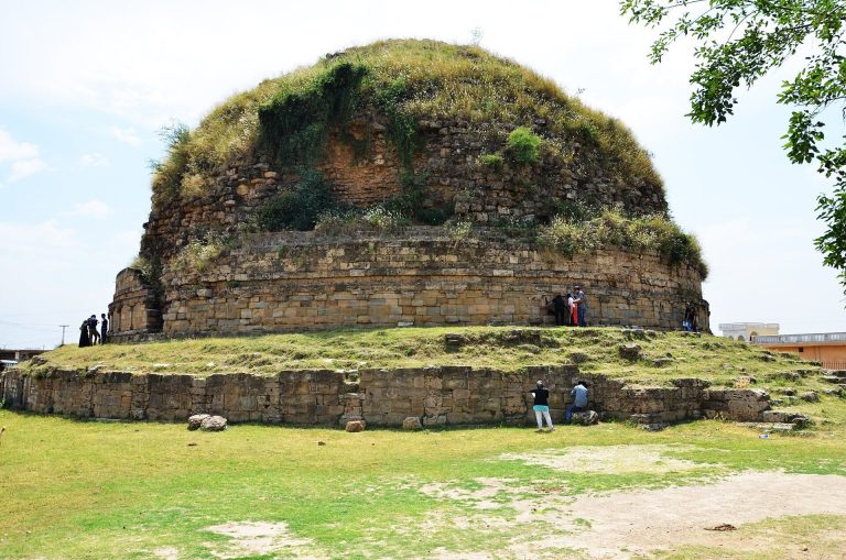
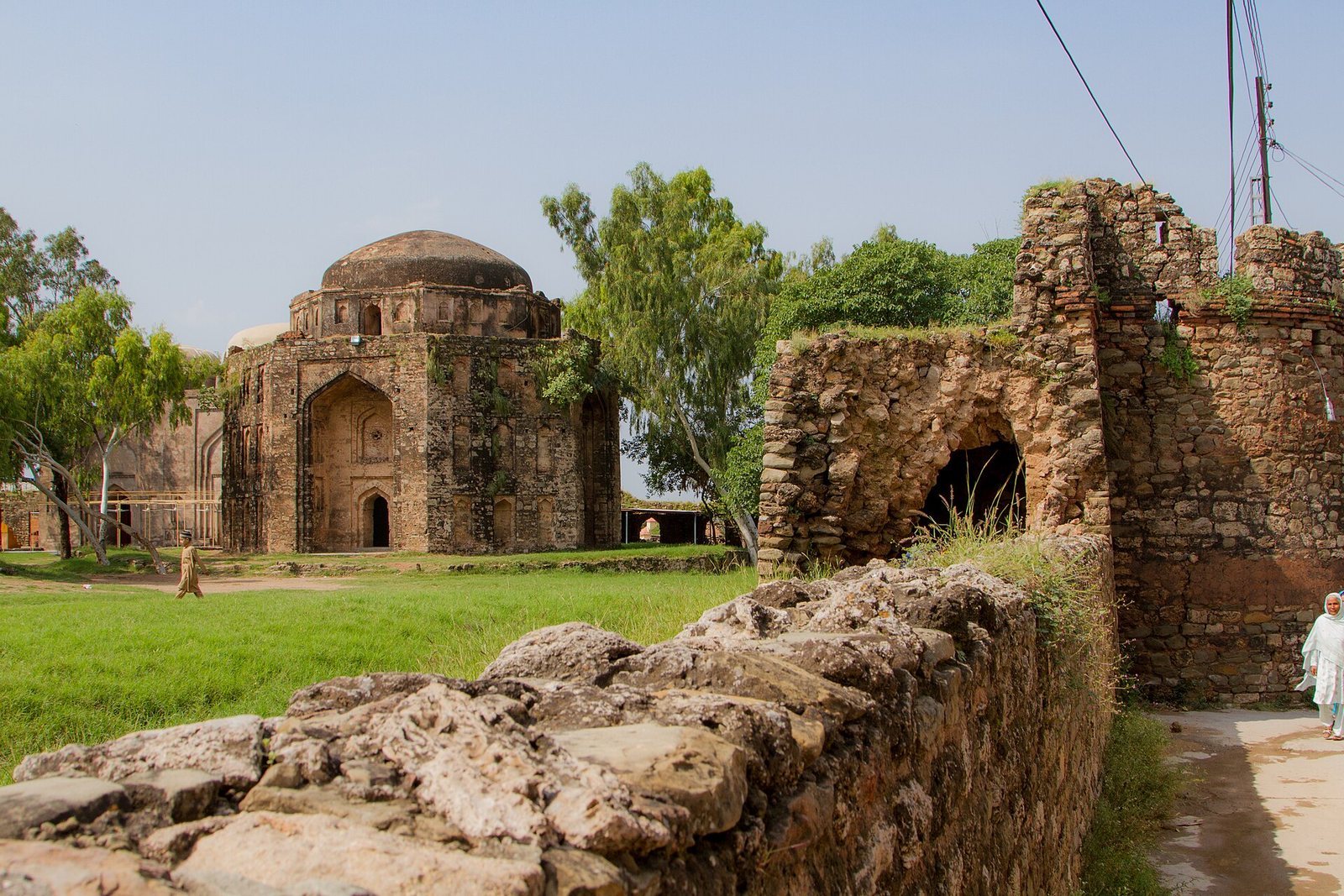
The elevated fort occupies the Pothohar Plateau beside the Grand Trunk Road. Its position provides views over the surrounding area, including the second-century Manikyala Stupa, which can also be seen from the mosque roof. The enclosure is almost square, measuring about 93.5 by 106.3 metres, and contains a courtyard of roughly 10,000 square metres, or 2.5 acres. The main entrance faces east, while a rear gate opens to the north. Lawns have been laid out on both sides of the fort.
Perimeter Wall and Cells
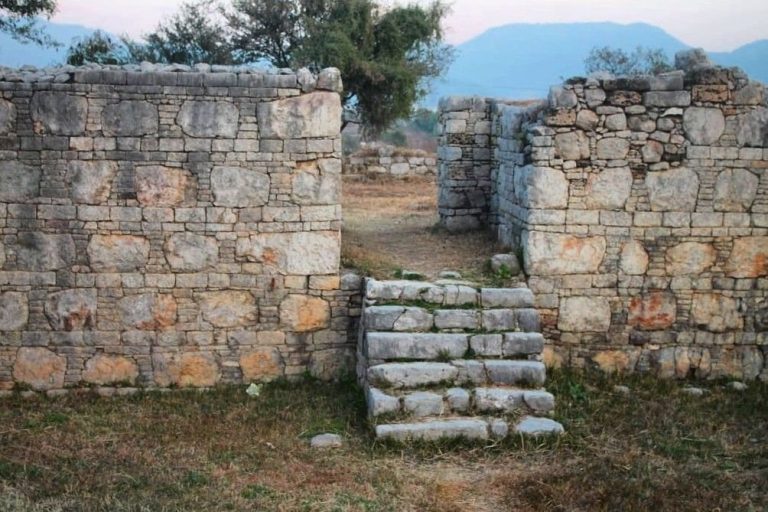
A fortified wall encloses the site, with small cells running along all four sides. These rooms may originally have been rented to travelling merchants. The wall is damaged, and some parts of the fort are in poor condition.
Mosque
Built into the west wall, the mosque measures about 29.5 by 12.1 metres. It contains three large domed rooms and has three domes. The mosque remains in use.
Tomb and Graves
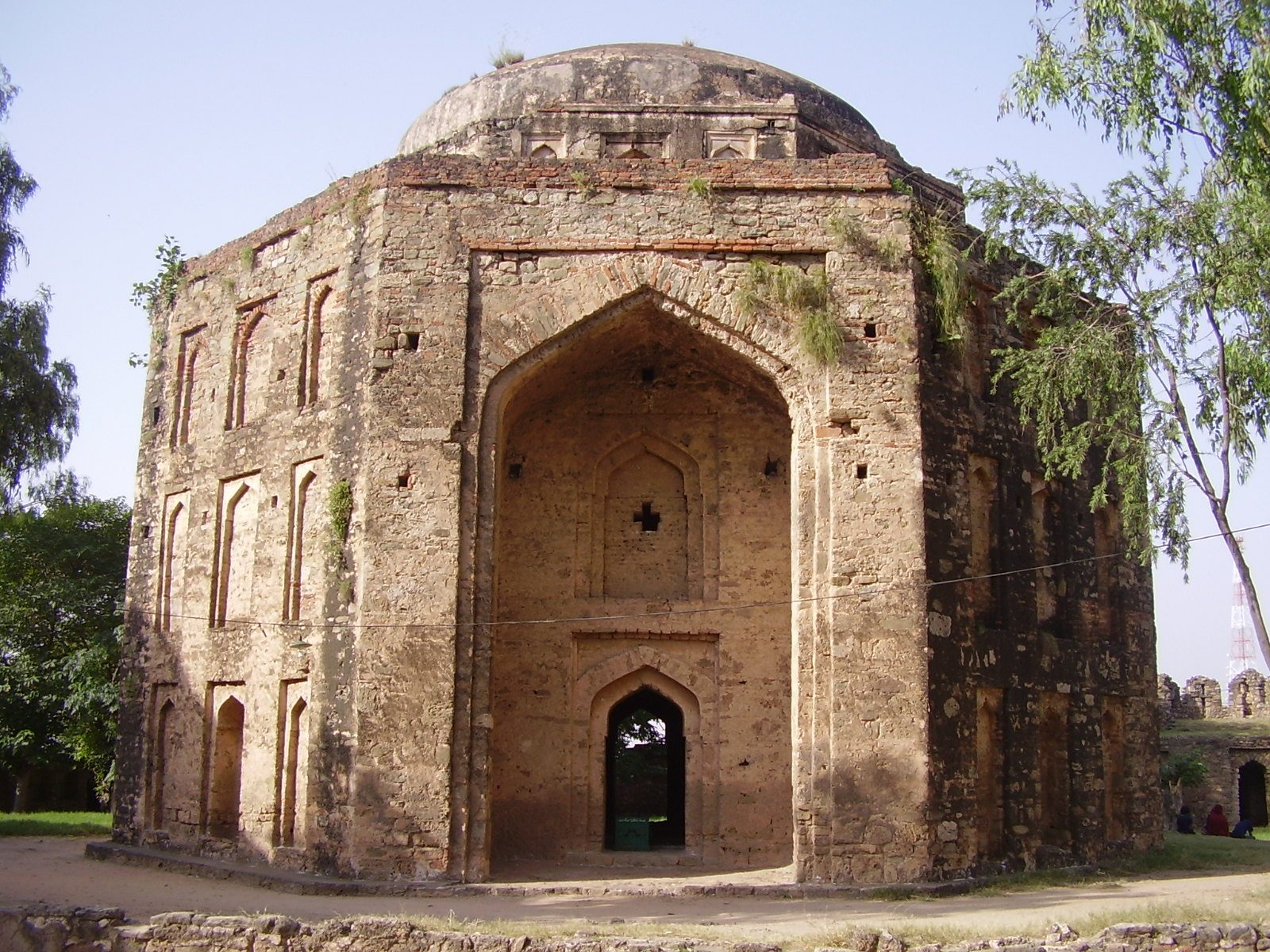
An octagonal domed tomb in the inner area measures about 16.6 metres in diameter and is traditionally attributed to Sarang Khan Gakhar. Numerous graves also occupy the interior. Some are associated with Sarang Khan’s sixteen sons and other companions killed in the fighting against Sher Shah Suri.
Square-Plan Building
A further building within the fort has a square plan and a dome.