Ménec Alignments: A Neolithic Standing-Stone Site near Carnac
Site at a Glance
- Popularity
- Medium
- Country
- France
- Primary era
- Stone Age
- Eras represented
- Stone Age
- Civilizations
- Unclassified
- Site type
- Civic
- Remains
- Megalithic Monument
On this page7 sections
History
Neolithic origins and later interpretations
The Ménec alignments are a group of standing-stone rows near Carnac, France, built during the Neolithic, the later part of the Stone Age before the Bronze Age. Their precise construction date is unknown.
Scottish engineer Alexander Thom and British archaeologist A. Burl interpreted the rows as aligned with sunrise and sunset at the summer and winter solstices. A solstice occurs when the Sun reaches its northernmost or southernmost apparent position in the sky during the year.
Modern record and protection
French artist Auguste Desperet made a drawing of the alignments around 1850. Construction of the village of Ménec and RD119 probably led to the loss of some standing stones. The site was listed as a French historic monument in 1889.
Remains
The principal rows
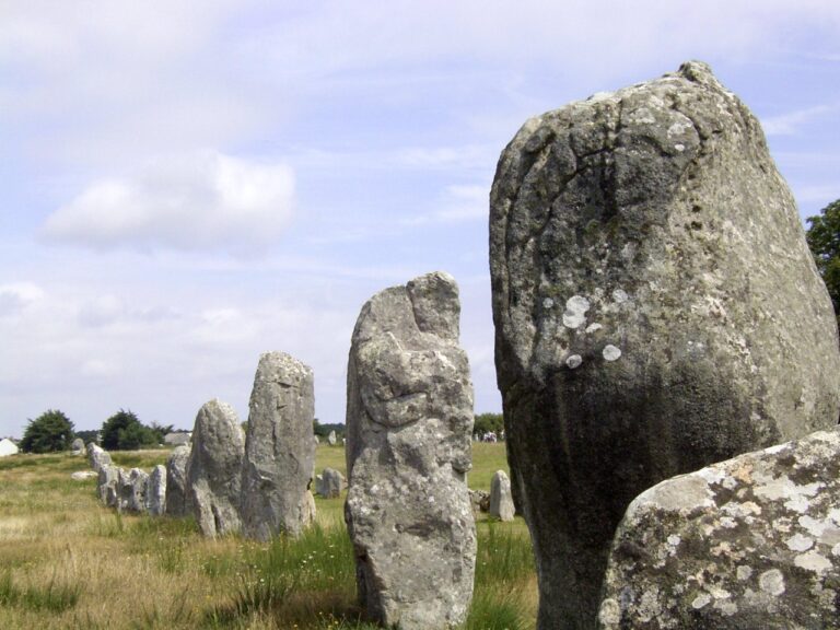
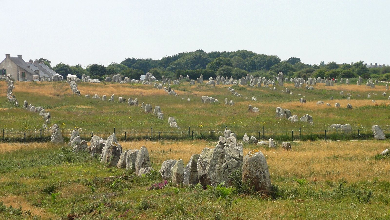
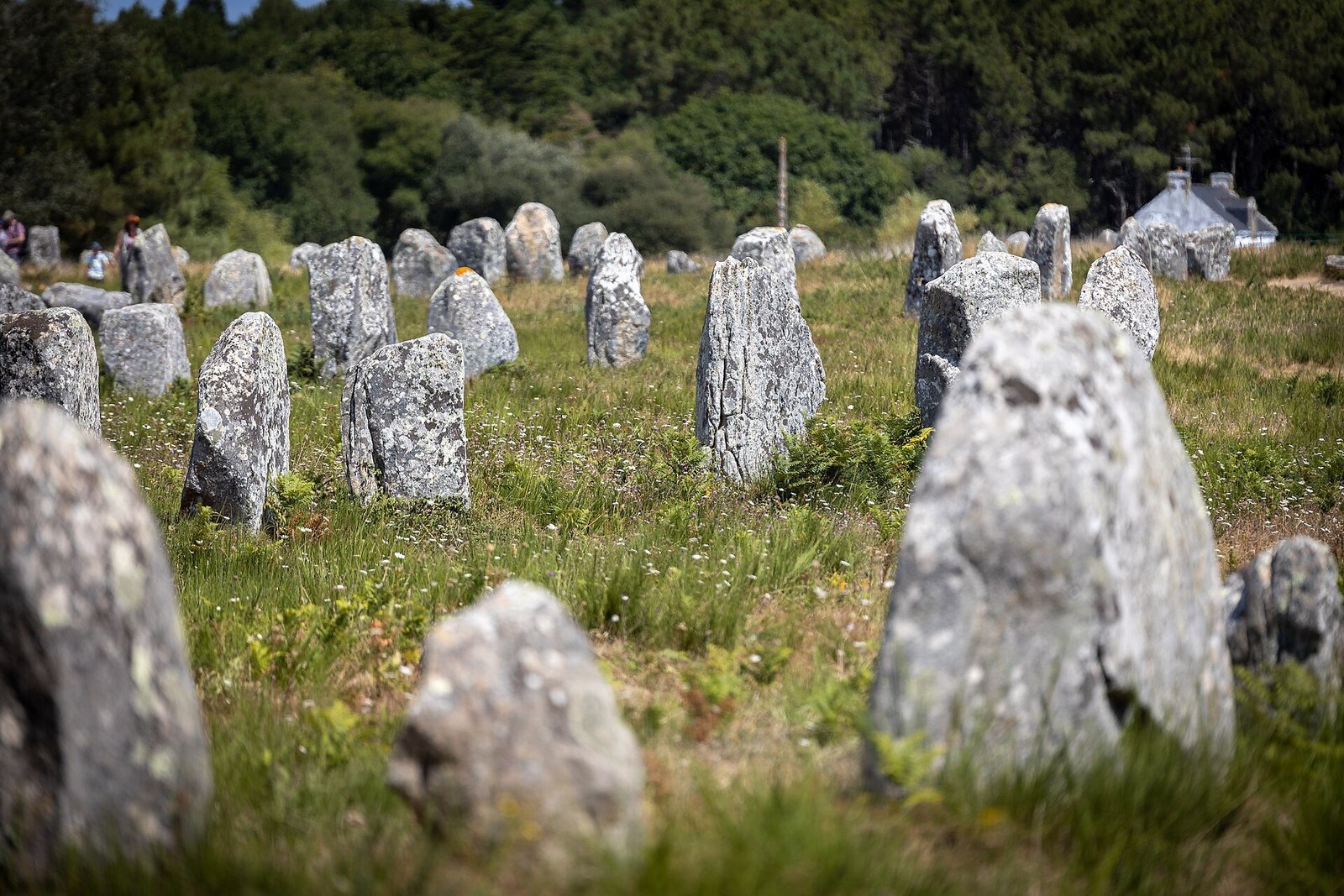
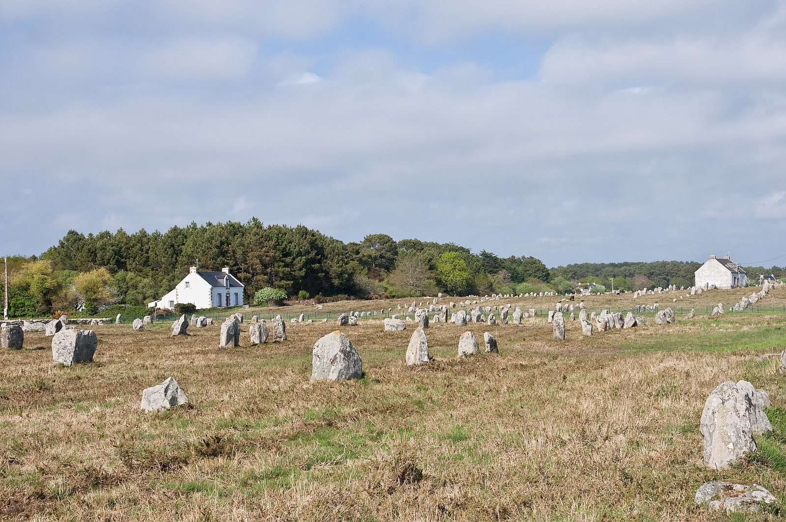
The alignment extends for about 950 metres on a generally southwest–northeast axis, north of Carnac and beside RD196 between Ménec and Croix-Audran. About 1,050 menhirs, or single upright stones, survive in rows. RD119 divides the site into two parts, with the eastern section known as the Toulchignan alignment.
The principal rows are roughly evenly spaced. At the western end, 11 rows extend across about 100 metres. Farther east, ten rows cover 85 metres, while beyond that the alignment bends north. Two southern rows intersect, and at about 600 metres from the starting point only eight or nine rows remain identifiable, spread across no more than 70 metres. The stones become sparse near Croix-Audran.
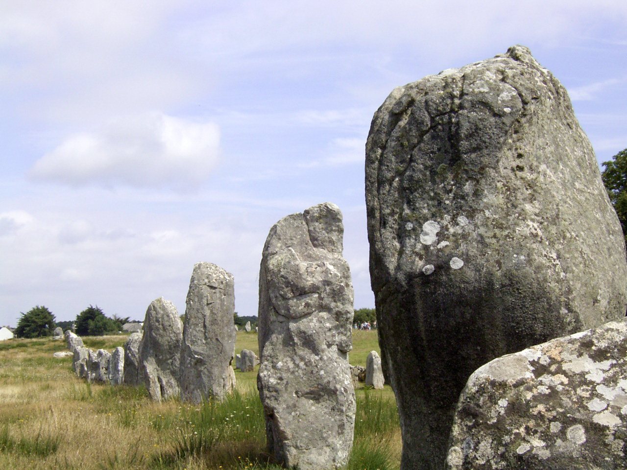
The menhirs generally decrease in size from west to east. The slender Géant du Ménec stands about 3.5 metres high among stouter stones and may have belonged to an older arrangement later incorporated into the rows. A larger stone within the western rows is called the Grand Menhir. Near the road crossing, the rows bend slightly and point toward the enclosures at the ends.
Western enclosure
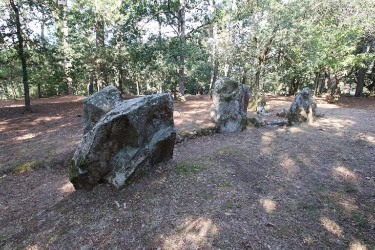
At the western end, an oval enclosure lies south of the rows on slightly higher ground. It measures about 90 by 70 metres and is bounded by 71 menhirs. Its incorporation into the village makes its outline difficult to discern. A line of 70 stones survives at its northwestern end.
Toulchignan and the eastern enclosure
Beyond RD119, the Toulchignan section continues for about 100 metres in nine clearly identifiable rows. These terminate at a crosswise line of closely spaced blocks that may mark the western side of a second oval enclosure. At the eastern end, an enclosure formed from very small stones fades into the heath.