Sapinuwa: A Hittite Religious, Administrative, and Military Centre
Site at a Glance
- Popularity
- Medium
- Country
- Turkey
- Primary era
- Bronze Age
- Eras represented
- Bronze Age
- Civilizations
- Hittite
- Site type
- City
On this page12 sections
History
In modern Ortaköy, Çorum Province, Türkiye, Sapinuwa was a city of the Hittites, an ancient Anatolian people whose kingdom was centred on Hattusa. It served as an important centre of government and worship, a military stronghold, and at times a royal residence. Several texts from Hattusa, the Hittite capital, refer to Sapinuwa’s palace.
Origins and religious role
A Hattian origin for Sapinuwa has been proposed, partly because Hattian-language material was found there. The city’s suggested Hattian name means land of the god, and its storm god was invoked alongside the storm god of Nerik. The Hattians were an earlier Anatolian people whose language and religious traditions remained present in the region, but a Hattian foundation for Sapinuwa is still a hypothesis.
Speakers of Nesite, the language commonly associated with the Hittites, may have taken control of the city around the mid-to-late 17th century BCE. This possible change is associated with the period when Hattusili I, a Hittite king, is thought to have destroyed Nerik.
Royal court and conflict
Sapinuwa was closely connected with Tudhaliya II, who spent much of his reign there. His queen, Tadu-Heba, bore a Hurrian name, and texts from both Sapinuwa and Hattusa describe their wedding ceremony. The city has also been proposed as a second Hittite capital or royal residence in the late 15th century BCE.
Hittite territory faced repeated attacks from the Kaskans, a people who fought along its northern frontier. The Kaskans probably sacked Hattusa, prompting the royal court to move to Sapinuwa. The city was later destroyed by fire, after which the court transferred to Samuha. Kaskan responsibility for the burning is possible but uncertain. Nearby Hittite cities, including Tapikka and Sarissa, were also destroyed during this period.
Tudhaliya II and his son Suppiluliuma I both fought the Kaskans, as well as the Hayasans and Arzawa. During a period of Hittite weakness, Arzawa, a political power in western Anatolia, gained international prominence. The Amarna letters, diplomatic correspondence from the era of the Egyptian pharaoh Amenhotep III, reflect that prominence and include Hittite-language texts.
Rediscovery and excavation
Sapinuwa was identified after a local farmer found two clay tablets in a field and contacted the Çorum Museum. The discovery led to a survey in 1989. Ankara University began excavations in 1990 with permission from the Ministry of Culture, under Aygül and Mustafa Süel. Aygül Süel took over leadership in 1996. Excavation began at Building A, reached Building B in 1995, and continued in other areas after 2000.
Identifying the city at Ortaköy placed it northeast of Hattusa, correcting an earlier proposed location southeast of the capital. The earlier view had been influenced by the Hurrian character attributed to Sapinuwa in the Hattusa archives. The first English-language publication arising from the excavations appeared in 2002. By 2014, the archive as a whole remained unpublished, although publications included a queen’s letter and a fragmentary list of useful plants, perhaps an advanced school text from the 14th century BCE.
Remains
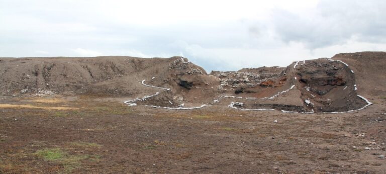
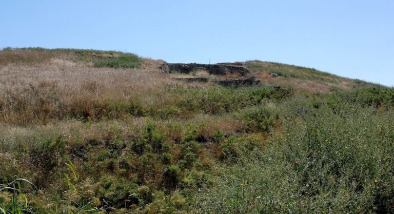
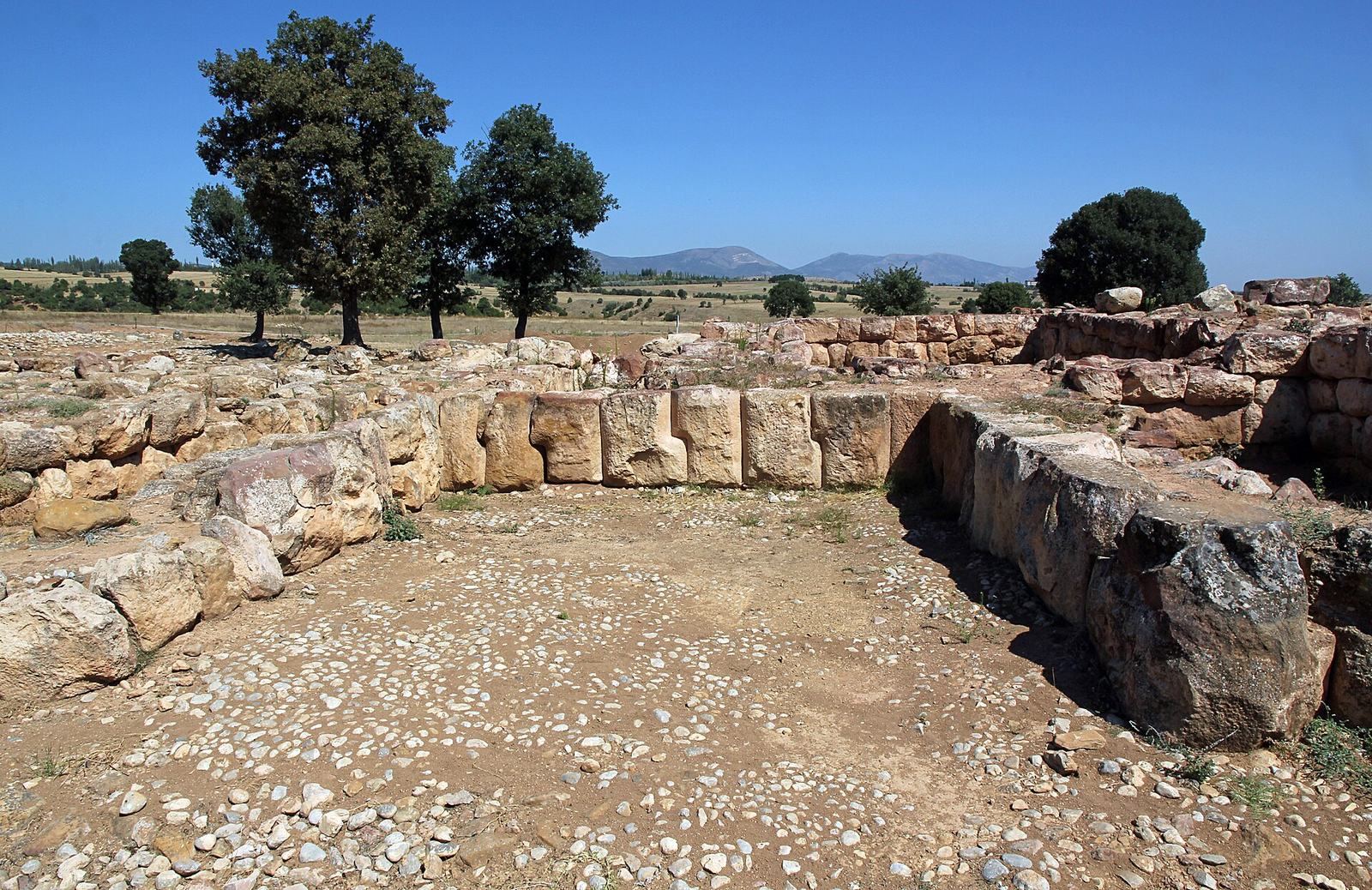
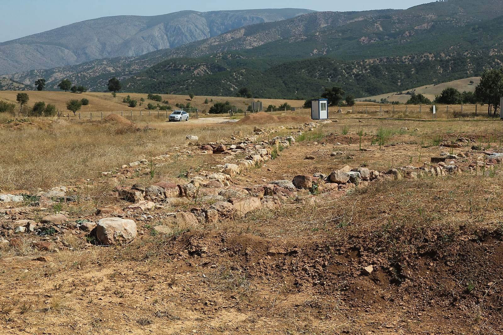
The ruined settlement is divided into an Upper City and a Lower City, and its excavated buildings include walls made from exceptionally large stone blocks. The Lower City comprises the Ağılönü and Tepelerarası districts, with a stream between them.
Setting and urban layout
Sapinuwa occupied the area between the Alaca and Amasya plains, about two days’ travel from Hattusa. Mountains surround the city, while a terraced plateau rises above the Amasya plain. Fortifications begin roughly five kilometres away. When Sapinuwa was held, its position controlled routes toward Boğazköy and Hattusa. The western hills, associated with the Upper City, contain traces of military and religious buildings and supplied water and timber.
Excavated buildings
Building A
Building A, the first area excavated, had walls constructed from very large stone blocks. Three separate archives occupied its upper floor; they collapsed when the building burned. Excavations recovered about 5,000 tablets and fragments associated with Tudhaliya II’s reign, conventionally dated to about 1360–1344 BCE. The fire damaged the archive, and many tablets survive in fragments that must be joined before they can be interpreted and translated.
The clay texts use cuneiform, a writing system made by pressing wedge-shaped marks into clay. The collection includes about 1,500 tablets in Hittite and 600 in Hurrian, as well as material in Hattian, Akkadian, and both Hittite and Hurrian. It contains letters, international treaties, bilingual texts, and vocabulary lists in Hittite, Sumerian, and Akkadian. Hurrian texts chiefly concern purification rites. Seal impressions bear Hieroglyphic Luwian, an ancient Anatolian hieroglyphic writing system. Several letters correspond to texts referred to in the archive at Maşat Höyük.
Building B
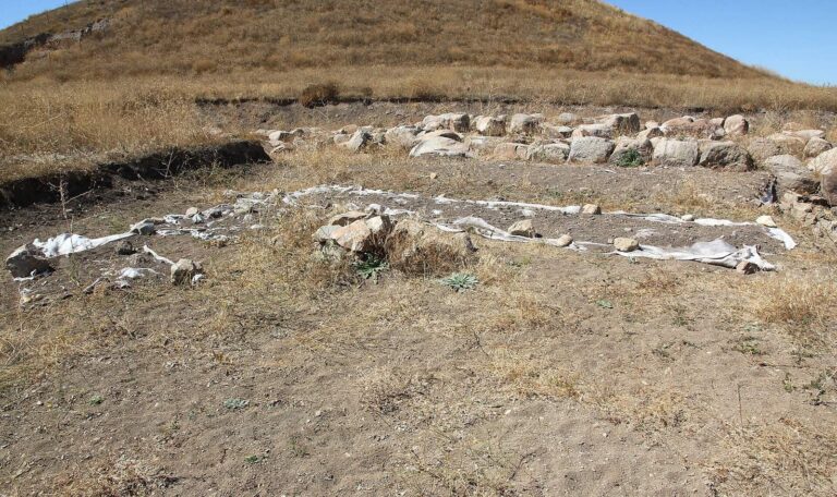
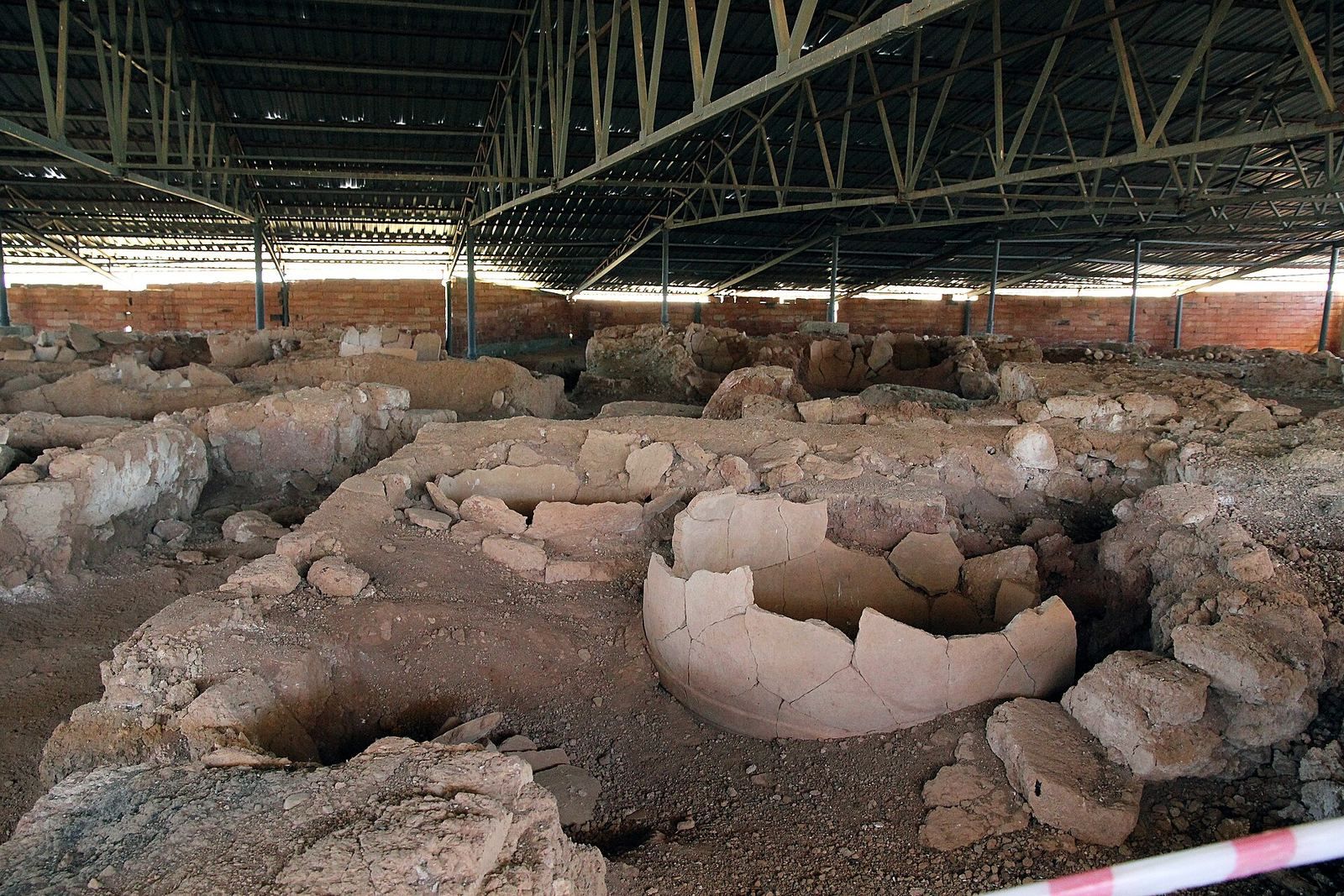
At Kadılar Höyük, 150 metres southeast of Building A, Building B served as a storage facility. Earthenware jars filled the structure.
Workshops and later excavations
Area G
In the Tepelerarası district, Area G lies northeast of Building D. A workshop there contained finely carved moulds for silverwork, and large quantities of obsidian were found nearby. These finds belong to the end of the Middle Hittite period, a phase between the Old Hittite Kingdom and the Hittite Empire.
Building with a carved stone slab
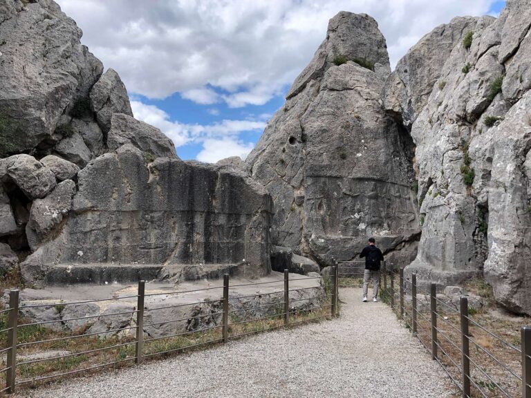
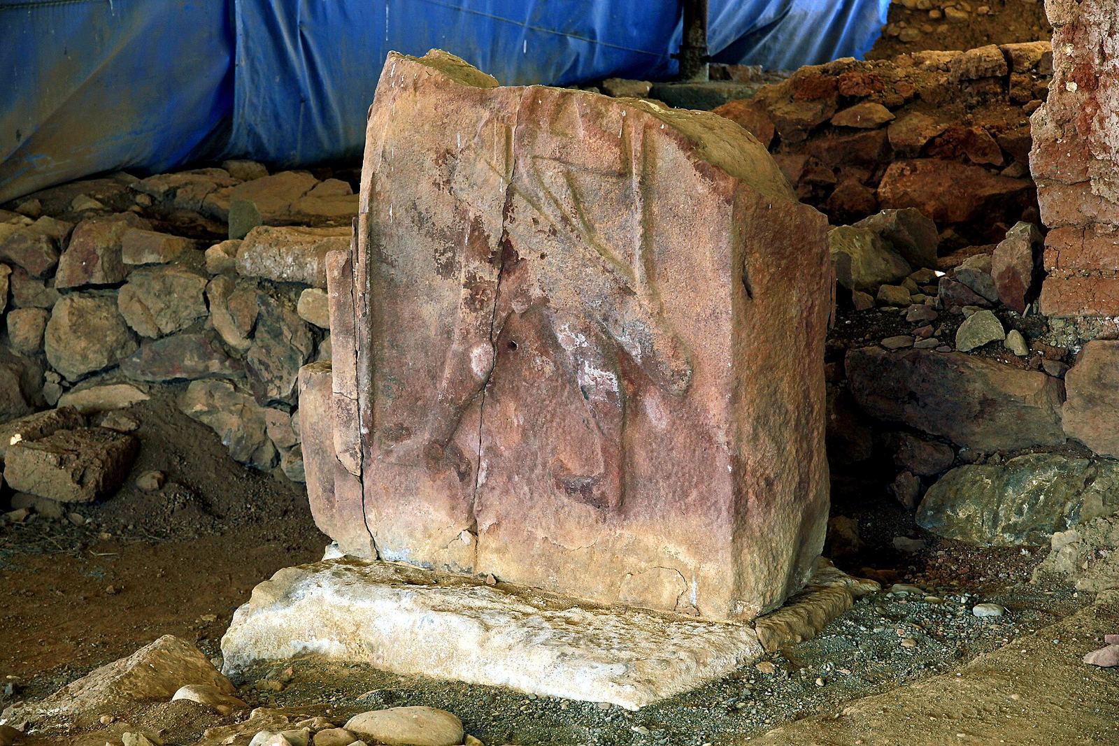
A building excavated after 2000 contained an upright stone slab resembling a carved image of Tudhaliya at Yazılıkaya, a Hittite rock sanctuary. Charcoal recovered in connection with this excavation dates to the 14th century BCE.