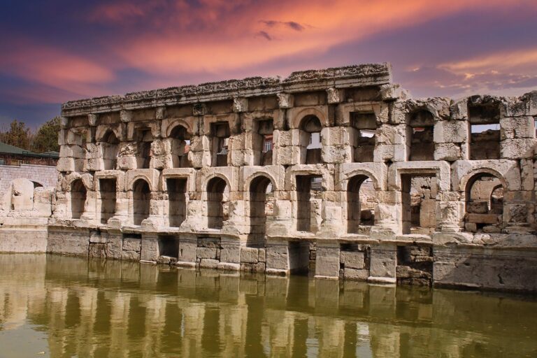
Uşaklı Höyük: A Hittite Settlement in Türkiye
Site at a Glance
- Popularity
- Medium
- Country
- Turkey
- Primary era
- Bronze Age
- Eras represented
- Bronze Age, Iron Age, Classical
- Civilizations
- Hittite, Roman
- Site type
- City
On this page11 sections
History
Uşaklı Höyük is an ancient settlement near Büyüktaşlık in the Sorgun district of Yozgat, Türkiye, and an important Hittite center during the Bronze Age. Occupation began in the late third millennium BC and continued through the Bronze and Iron Ages into late Roman and Byzantine times. The settlement’s greatest urban development came during the Middle and Late Bronze Ages, especially in the second half of the second millennium BC.
The Hittite center
Uşaklı Höyük is widely identified with Zippalanda, an administrative and religious center known from Hittite texts, although Çadır Höyük is another proposed location. Zippalanda’s Storm God, a major weather deity for the Hittites and the Luwians, another ancient Anatolian people, held an important place in religious life.
In 1995, British Hittitologist Oliver R. Gurney proposed that Uşaklı Höyük was Zippalanda, drawing on texts describing spring festivals. They recount the Great King, the Hittite monarch, travelling from Hattuša, the Hittite capital, to Zippalanda. There he made an offering to the mountain deity at Mount Daha before continuing to Ankuwa. Mount Daha is commonly identified with Mount Kerkenes, and Ankuwa with Alişar Höyük. The distances described in the texts accord with routes between these places, and the site’s excavators support Gurney’s identification.
Research and excavation
Early research confused the mound’s name and location. Emil Forrer visited in 1926 and used the name “Kusachakly,” taken from old maps. Hans Henning von der Osten called it “Küchük Köhne” after visiting in the late 1920s, possibly mistaking it for another nearby mound. Piero Meriggi visited in the 1960s. Surveys and mapping carried out by Geoffrey and Francoise Summers in 1993–94 as part of the Kerkenes Project clarified the site’s location. Uşaklı Höyük is distinct from Kuşaklı Höyük in Sivas, identified with the Hittite city of Šarišša.
Archaeologists from the University of Florence began a new survey in 2002, including studies of the landscape and buried features. Further surface surveys took place from 2008 to 2012, and excavations began in 2013 and were still under way in 2022. The excavation areas are designated A to D. Tree-ring study produced a floating chronology, a sequence of dates that is not fixed to absolute calendar years.
Remains
The settlement covers about 10 hectares across a high mound and a broad, gently sloping terrace in a fertile plain. The central mound accounts for roughly 2 hectares. The site lies north of Büyüktaşlık village and about 7 km north of Mount Kerkenes; Sorgun is around 10 km to the east. Hattuša lies roughly 40–45 km to the northwest, a distance described as two days’ travel in antiquity.
Area A: Eastern terrace
Building II
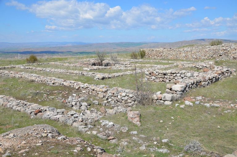
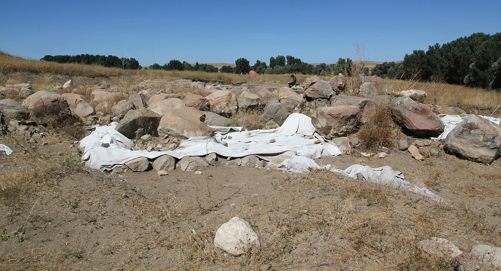
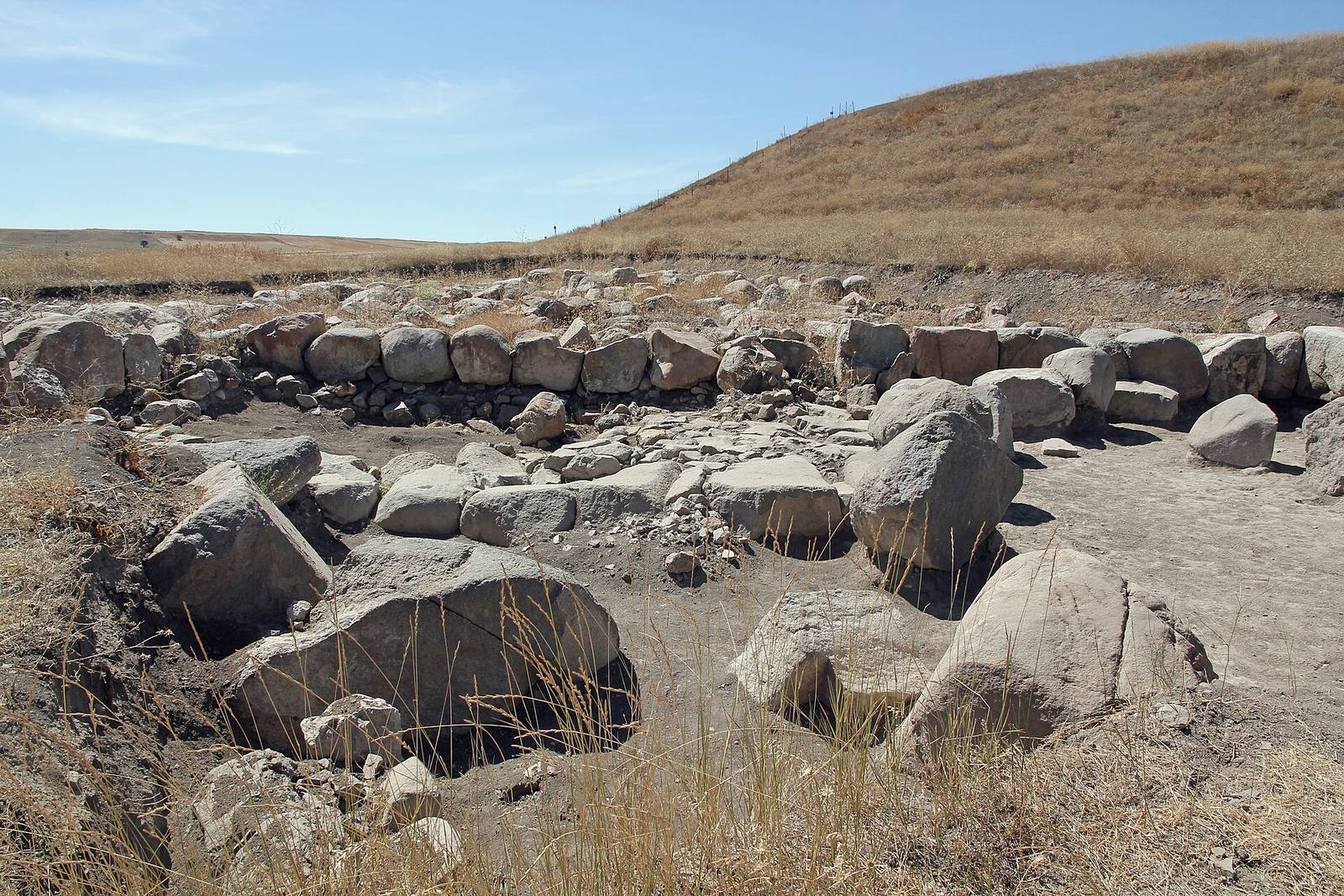
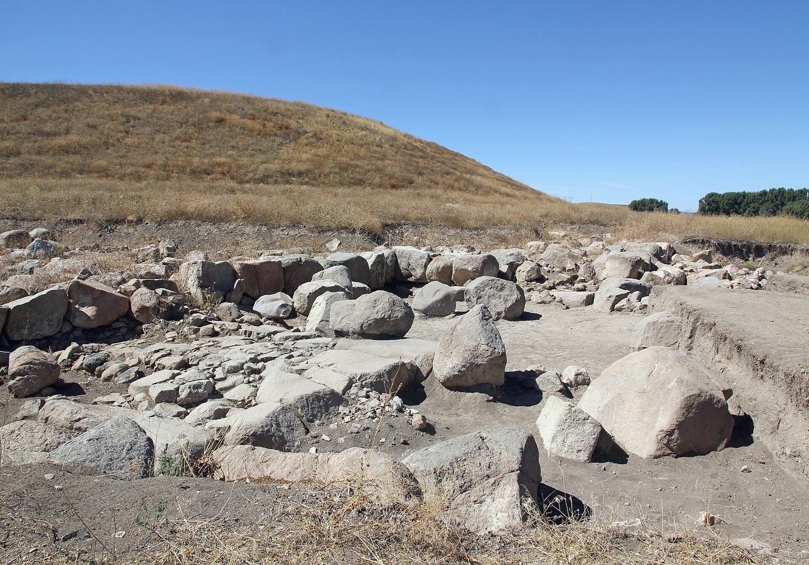
This monumental Hittite building, on the eastern terrace, dates to the Late Bronze Age, approximately the 14th to 12th centuries BC. Surveys of buried features indicate a footprint of about 875 square metres; excavations have exposed roughly 600 square metres, and the building may extend farther. Several courtyards are surrounded by rooms of varied shapes and sizes. Massive stone foundations survive, while the upper walls were built of mud brick. Its scale, layout, and associated pottery have prompted comparison with Hittite temples. The building appears to have been deliberately cleared before it was abandoned.
Stone mosaic floor
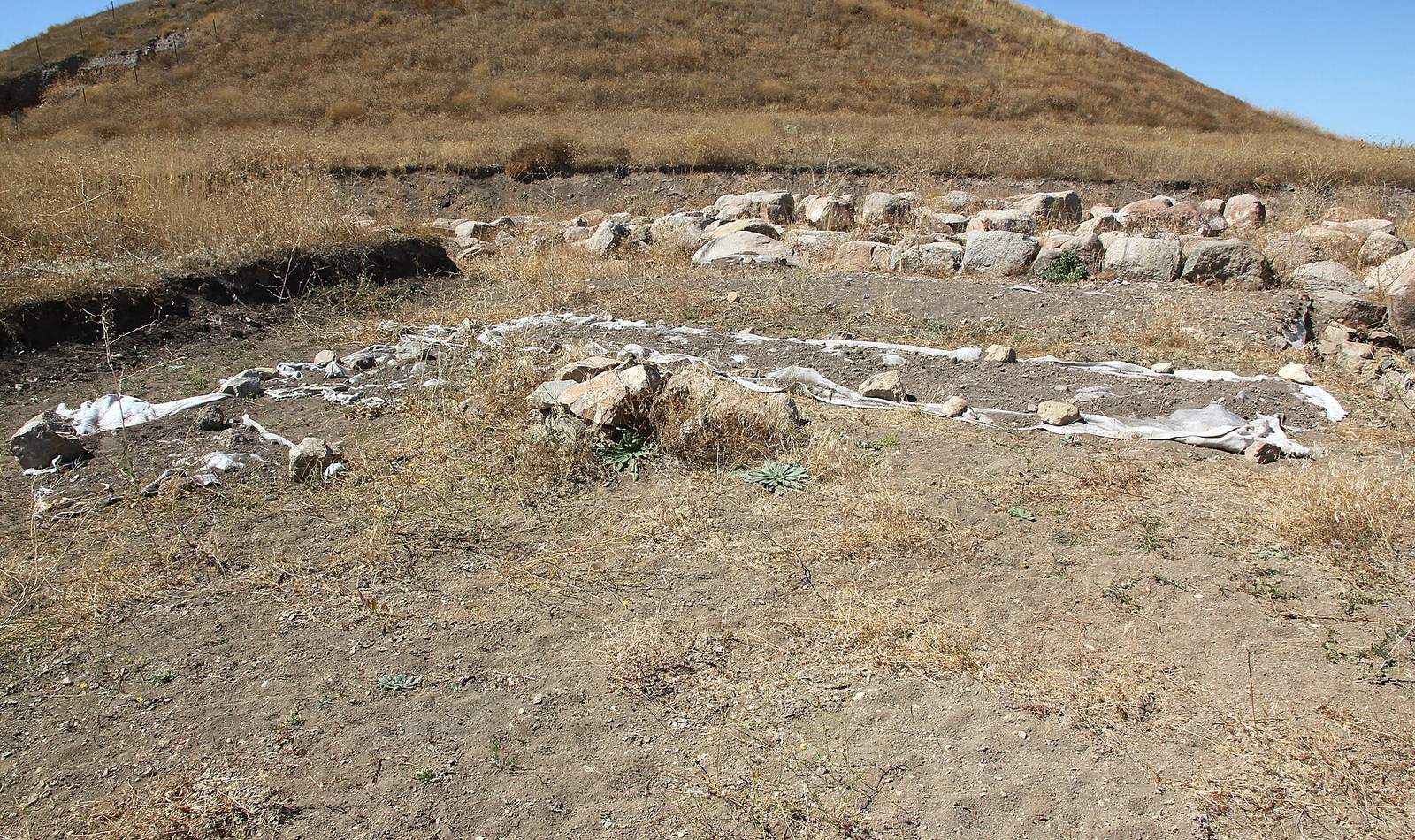
In 2018, excavators uncovered a floor east of Building II, measuring about 3 by 7 metres and made from 3,147 stones of different shapes and sizes. Most lie flat on tamped earth, with upright stones forming a narrow frame. The stones create three rectangles filled with triangles in white, red, and dark blue-black. Three narrow bands, white, dark blue-black, and white, formed the border, which survives best at the southeast corner. The floor’s edges run parallel to Building II’s outer walls, indicating that they were constructed at the same time.
The floor has been described as the world’s oldest known mosaic stone floor and the only known mosaic-like floor of its period in Anatolia. Earlier-known Hittite stone pavements at Kuşaklı, Šapinuwa, and Hattuša do not use this kind of arrangement. Before its discovery, the earliest known Anatolian mosaic was thought to be the burned structure at Phrygian Gordion.
Area B: Late Roman structure
About 20 metres north of Area A, a survey of buried features identified a rectangular structure measuring approximately 710 square metres. Excavation of a 5-by-5-metre area revealed a square room built of stone laid without mortar. The room dates to the late Roman period. Excavators also identified two building phases and an earlier post-Hittite occupation.
Area C: Iron Age defenses
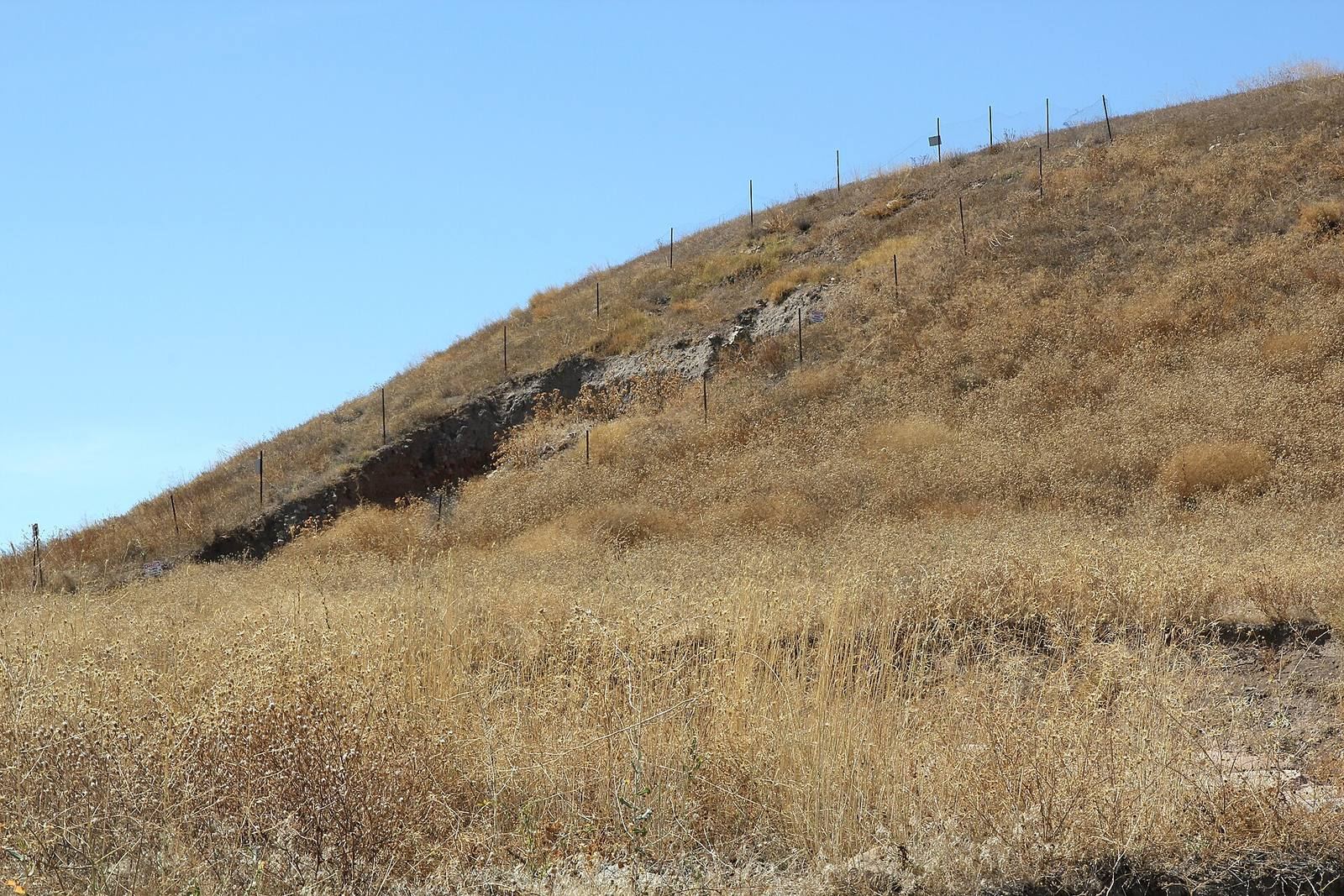
Area C covers the settlement’s fortified high ground and the mound’s eastern slope. Fortifications dating to the eighth through sixth centuries BC include high ramparts built with large stones. On the slope, an earthen defensive structure stands above a sloping stone bank, between slightly curved brick walls whose surfaces are strengthened by a grid of smaller walls. The defensive earth came from debris belonging to Bronze Age buildings and contains traces of burning. Middle Iron Age pottery was found in the clay beneath the defenses. A sample from the sloping stone bank dates to approximately 763–486 BC.
Area D: Building III
On the southern slope, Building III measures about 65 metres from east to west and 20 metres from north to south, according to a magnetic survey. Excavations beginning in 2015 revealed two rooms with earthen floors and traces of an enclosure wall that ran around the mound; work expanded to the east and west through 2019. Floors on the upper slope lie more than 10 metres above the ground outside the wall. From the south, the enclosure would have risen about 10 metres. The excavators interpret Building III as a Hittite palace, based on its architecture, size, location, and similarities to the palace at Maşat Höyük, ancient Tapikka. Radiocarbon dating places the palace at approximately 1415–1363 BC. Its rooms appear to have been cleared before abandonment, while extensive fire damage probably occurred later.
Finds and dating
The site has yielded pottery and four fragments of cuneiform, a wedge-shaped writing system. A survey in 2009 recovered a fragment from a Hittite tablet at the mound’s base. The piece is interpreted as a magical ritual text. Its character is described as Imperial-era, although it probably dates to the earlier Middle Hittite period. A sample from a pit has a preliminary date of approximately 1008–905 BC.