Peremyshl: A Medieval Fortress Town in Russia
Site at a Glance
- Popularity
- Medium
- Country
- Russia
- Primary era
- Medieval
- Eras represented
- Medieval
- Civilizations
- Unclassified
- Site type
- Military
- Remains
- Wall
On this page12 sections
History
Peremyshl was a medieval fortified town on the right bank of the Mocha River in Russia. It belonged to the Grand Duchy of Moscow, the medieval principality centered on Moscow that became the core of the later Russian state, and served as a military strongpoint during the 14th-century conflict between Lithuania and Moscow.
Origins and defense of Moscow
The town’s first known written reference appears in a 1339 spiritual charter of Ivan Kalita, a prince of Moscow. The document names the Peremyshl district. The historian Vasily Tatishchev later attributed the fortress’s foundation to Prince Yuri Dolgoruky in 1152, but surviving medieval chronicles and archaeological evidence do not support that date. The fortress was more likely built between 1339 and the 1370s, with evidence for its defenses by about 1370.
Peremyshl belonged to the Serpukhov-Borovsk principality, an appanage, or smaller principality ruled within a larger realm. A day’s march from Moscow, it controlled a road toward the upper Oka lands and strengthened the capital’s southern defenses. During the Lithuanian-Moscow War of 1368–1372, it became an important military gathering point. In 1370, forces assembled there under Prince Vladimir Andreevich of Serpukhov and Prince Vladimir Dmitrievich of Pronsk to help Dmitry Donskoy during Grand Duke Olgerd of Lithuania’s second siege of Moscow. Fearing an attack on his rear, Olgerd ended the siege and withdrew.
The town flourished in the second half of the 14th century. Its fortified area became fully settled, and a separate settlement grew to the south. A prince’s or governor’s residence probably stood in the fortress’s northwest corner, with the cathedral church thought to have been nearby.
Princely rule and incorporation into Moscow
Peremyshl’s military importance within the Serpukhov-Borovsk principality declined as the Serpukhov Kremlin, the town’s fortified center, was built, Vysotsky Monastery was founded in Serpukhov, and the principality expanded westward. After Prince Vladimir Andreevich died in 1410, his principality divided into smaller territories, and Peremyshl became the center of one. When its childless prince died, the town returned to Serpukhov-Borovsk rule.
In 1481, the last prince of Borovsk died in captivity at Uglich, and Peremyshl became part of the Moscow ruler’s lands. The designation “Muscovite” helped distinguish it from other towns named Peremyshl.
Decline and later use
As the Russian state expanded south, Peremyshl lost its military role in the late 15th and early 16th centuries. It continued to serve as a place for collecting road tolls. Ivan III’s charter of 1504 is the last known reference to Peremyshl as an inhabited settlement.
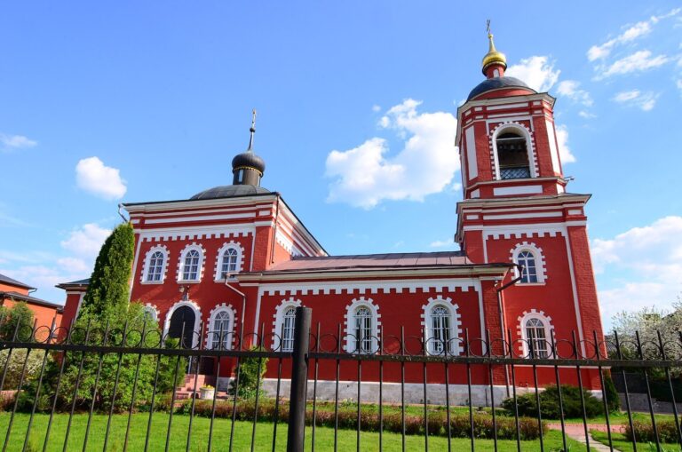
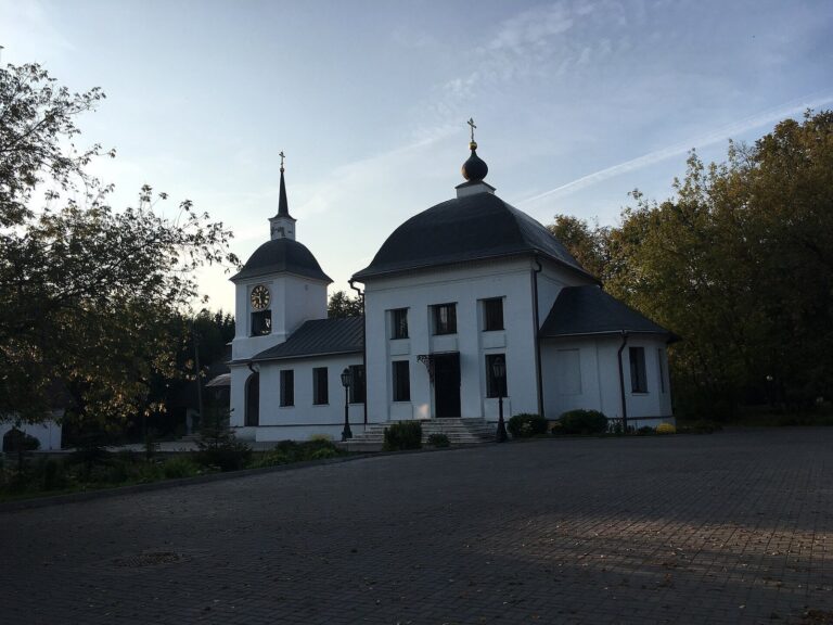
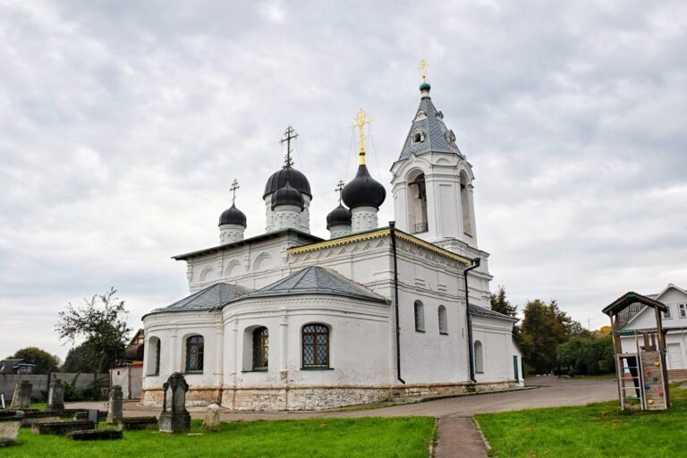
Land records from the early 17th century describe the former town site as cultivated ground with a churchyard and church. Surrounding lands belonged to a Tatar serving the Moscow ruler in a military capacity, who had received them for helping defend Moscow under Vasily Shuisky. By the 17th century, chronicles referred to Peremyshl as a hillfort, a fortified settlement or its earthwork remains, rather than as a town. The Rodnevo estate later occupied the site and belonged to baker D. I. Filippov. Peremyshl and the Rodnevo hillfort are archaeological monuments of federal significance.
Remains
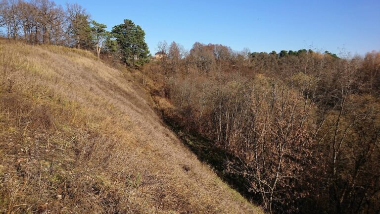
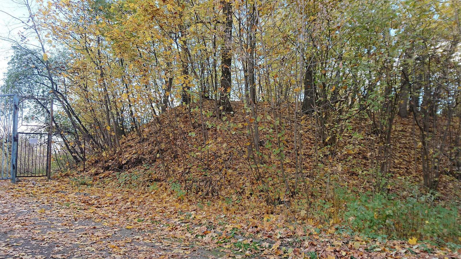
The hillfort stands on a high terrace west of present-day Dmitrovo, above the right bank of the Mocha River. The terrace rises more than 40 metres above the river’s present water level. A steep riverbank and two deep ravines provided natural protection, while earthworks enclosed an area of about nine hectares, measuring roughly 250 by 240 metres. The visible rampart curves in a horseshoe, with its ends meeting the steep riverbank.
Defensive earthworks
Rampart
The earth rampart extended for about 1,300 metres around the enclosure, including along the river-facing side. Its landward section was the strongest, reaching about six metres in height and 24 metres across at the base. A limestone pavement at the base helped stabilize the bank, and wooden protective barriers stood along its crest.
Outer ditch
On the plateau side, a broad artificial ditch curved toward the expected direction of attack. It measured 27 metres across and 3.75 metres deep. Archaeological excavations found sharpened stakes set in a row along its flat bottom.
Entrance and water supply
Northern entrance
A gate tower guarded the northern entrance. A gap between two rampart sections still marks its position. The approach was arranged so that attackers had to pass around a spur of a ravine and change direction several times.
Interior pond
A round pond within the enclosure supplied spring water during a siege.
Surrounding settlements
Nine settlement sites around the ramparts and ditches served as trade-and-craft settlements.