Castra of Schlögen: A Roman Frontier Fort in Austria
Site at a Glance
- Popularity
- Low
- Country
- Austria
- Primary era
- Classical
- Eras represented
- Classical, Modern
- Civilizations
- Roman
- Site type
- Military
- Remains
- Fort
On this page20 sections
History
The Castra of Schlögen is a Roman fort at St Agatha, Austria, on the Danube frontier in Noricum, a Roman province covering much of the central Alpine and Danube region of present-day Austria. At the Schlögen bend, it could monitor river traffic and help protect the road connecting the frontier settlements near present-day Passau and Enns. The road passed through difficult terrain and emerged from a granite massif and a pass near Sieberstal.
Foundation and frontier role
The fort’s foundation date remains disputed. A broad occupation span from the first to fifth centuries AD has been proposed, but scholars disagree about when the first fort was built. Some place its beginnings no earlier than the third century, during expansion of the frontier road. Rudolf Noll argued for an earlier, early-imperial foundation, while Lothar Eckhart dated the first fort to about AD 200. Ceramic finds have also been interpreted as pointing to construction late in Hadrian’s reign or before the end of the Marcomannic Wars, second-century conflicts between Rome and the Marcomanni and their allies along the Danube.
Coins have complicated these arguments. Eckhart cautioned that some coins used to date the fort might instead have come from the civilian settlement, or vicus, which did not necessarily begin at the same time. The fort’s garrison is also uncertain. Schlögen has been interpreted as a fort for a numerus, a smaller auxiliary military unit, or as a base for a detachment from a larger auxiliary force or legion. Suggested occupants include Legio II Italica, Cohors V Breucorum, Numerus Maurorum, and a station of the Danube fleet, Classis Histriae. The fleet-base interpretation was questioned by Eckhart, who considered the site too small for a naval war harbour.
Destruction, rebuilding, and the final period
The first fort was probably destroyed by fire around AD 300, after about a century of use. Coins from the burnt layer included issues of Caracalla and Probus, as well as an antoninianus, a Roman coin denomination, of Licinius. These finds have been used to place the destruction around the transition from the First Tetrarchy, the system of rule by four emperors established under Diocletian, to the reign of Constantine I.
A later rebuilding on the same site and to the same dimensions has been proposed, although that plan differs from the usual form of a late Roman fort. Eckhart placed renewed occupation in the late fourth century, citing a coin dated AD 350–360. Günter Ulbert disputed the reconstruction, arguing that a fort abandoned for a long period was unlikely to have been rebuilt to a middle-imperial plan.
The date when the fort ceased operating is likewise uncertain. Eckhart thought the fort, harbour, and boatyard remained in use into the early fifth century. Richard Trampler argued that the end came no earlier than AD 455, rather than the AD 477 date proposed by Joseph Gaisberger. Trampler’s argument drew on the life of Severinus of Noricum, which says the place was devastated but does not date its destruction to AD 477.
Ioviacum and the account of Severinus
Since the nineteenth century, Schlögen has often been identified with Ioviacum, a place named in Ptolemy’s Geographica, the Notitia Dignitatum, and the Itinerarium Antonini, a description of the route between Lauriacum and Boiodurum. The Vita Sancti Severini, the account of Severinus’s life, also describes an oppidum, or settlement, called Ioviacum. The identification remains disputed. The name is probably Celtic; one interpretation connects its ending, -acum, with land or a settlement associated with a landholder or kin group. Gaisberger and Eduard Böcking instead linked it to Diocletian’s epithet Iovius, a derivation Trampler rejected on linguistic grounds.
If the Ioviacum in the Vita Sancti Severini was Schlögen, Severinus warned its inhabitants to flee before a Herulian attack. His first messenger, the cantor Moderatus, was not believed. A second messenger, a citizen from Quintanis who had witnessed violence and abandoned his home, also failed to persuade them. The inhabitants were captured or killed, and their presbyter, an early Christian cleric, was hanged.
The civilian settlement and archaeological investigation
The vicus began several decades before the fort and likely served as a road station and a landing and transfer point for Danube shipping. Its estimated period of occupation is about AD 130 to 488. The relatively small number of late-antique finds suggests that the settlement contracted during its later years.
In 1837, the Schlögen Excavation Association, formed around the cleric and antiquarian Joseph Gaisberger, began investigating the site after a gold coin of Diocletian was found near Haibach. Its campaigns from 1837 to 1840 are regarded as the first systematic excavations in Upper Austria and on the Austrian Danube frontier. Erich Swoboda excavated at the fort and settlement in 1937. His mistaken estimate that the walls were four metres thick encouraged an early interpretation of Schlögen as a late Roman fort with exceptionally massive defences. Lothar Eckhart’s planned rescue excavations from 1957 to 1959 clarified the fort’s extent, defences, and internal buildings. A 1972 earthmoving project between the inn and indoor swimming pool damaged Roman masonry. Christine Schwanzar led a rescue excavation in the settlement in 1984, and that area was subsequently protected under monument law.
Geophysical surveys in 2013 indicated that substantial buried remains survived at the fort and settlement, and investigation of the bath took place in 2014 and 2015. The remains are protected under Austrian monument law, and the site became part of the UNESCO World Heritage property of the Danube Limes in 2021.
Remains
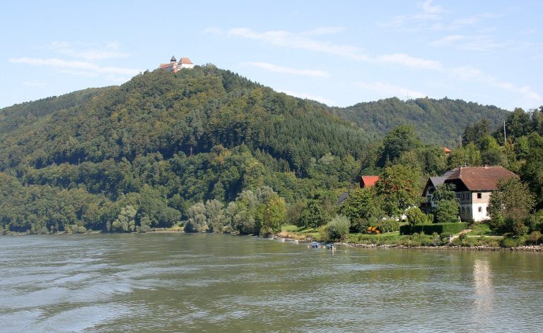
The fort occupied a low terrace about 10–11 metres high between the Andlersbach and Mühlbach, at the beginning of the Schlögen bend. Its associated civilian settlement lay to the west on the naturally flood-protected Hochgupf plateau, about 17 metres high. In antiquity the Danube ran closer to the fort, and the Andlersbach followed a more easterly course than it does today. The fort was a rectangular stone enclosure with rounded corners, while the settlement extended along the road west of it.
Fort layout and defences
Enclosure
The fort measured about 67.5 by 109.5 metres and covered approximately 0.65 hectares. Its long axis ran roughly north-northwest, following the Danube bank, and the ground within the walls sloped about two metres south toward the river. The southeast-facing front looked toward Haibach. Two building phases are distinguished by a layer of charred clay and wood. The second phase’s foundations lay directly over those of the first, indicating little change to the overall plan.
The earlier phase used wedge-shaped dry-stone foundations, about 1.25 metres wide on the west and 1.65 metres on the east. In the later phase, the foundations were built from mortared ashlar and averaged about 1.65 metres wide; the west wall measured 1.40–1.50 metres across. The masonry incorporated angular rubble and river-worn stones, including gneiss, white granite, quartz, sandstone, limestone, and calcareous tufa. A wooden structure supported the walkway along the defences. Traces included charred floorboards and beams, as well as sockets for beams set higher in the walls.
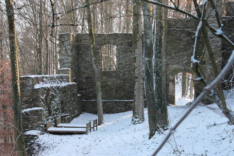
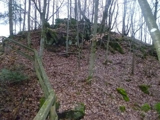
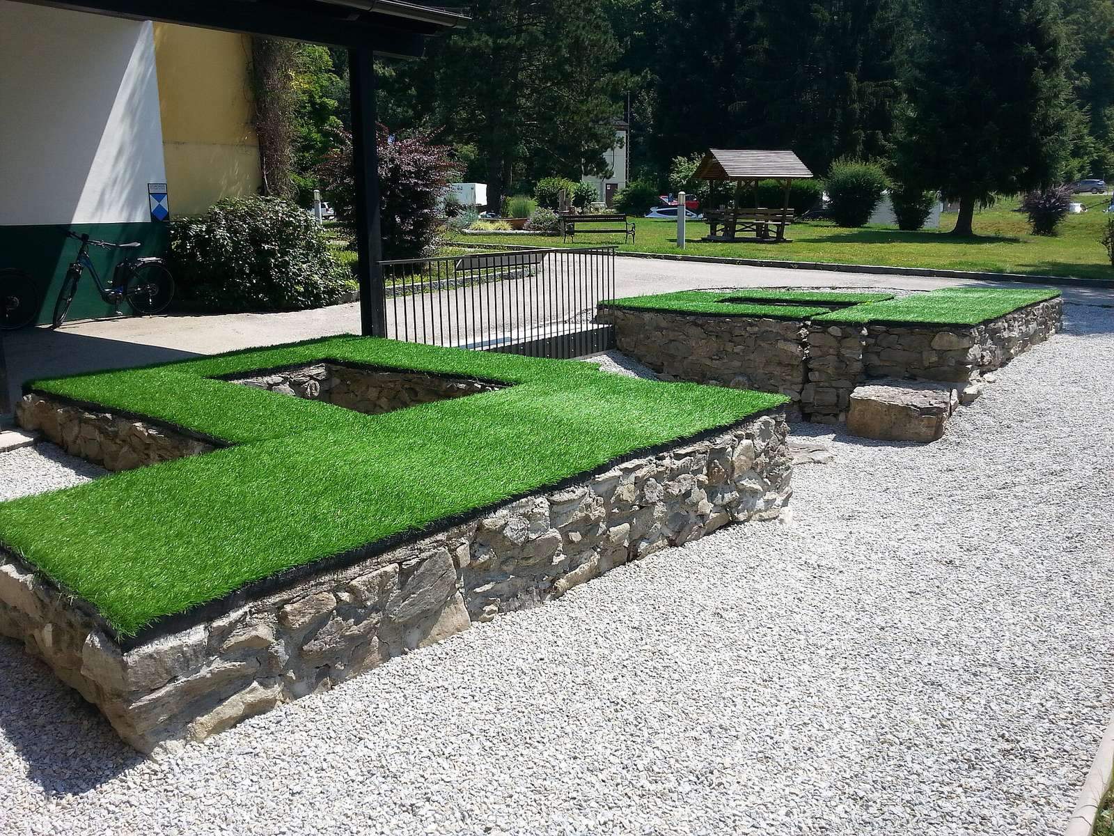
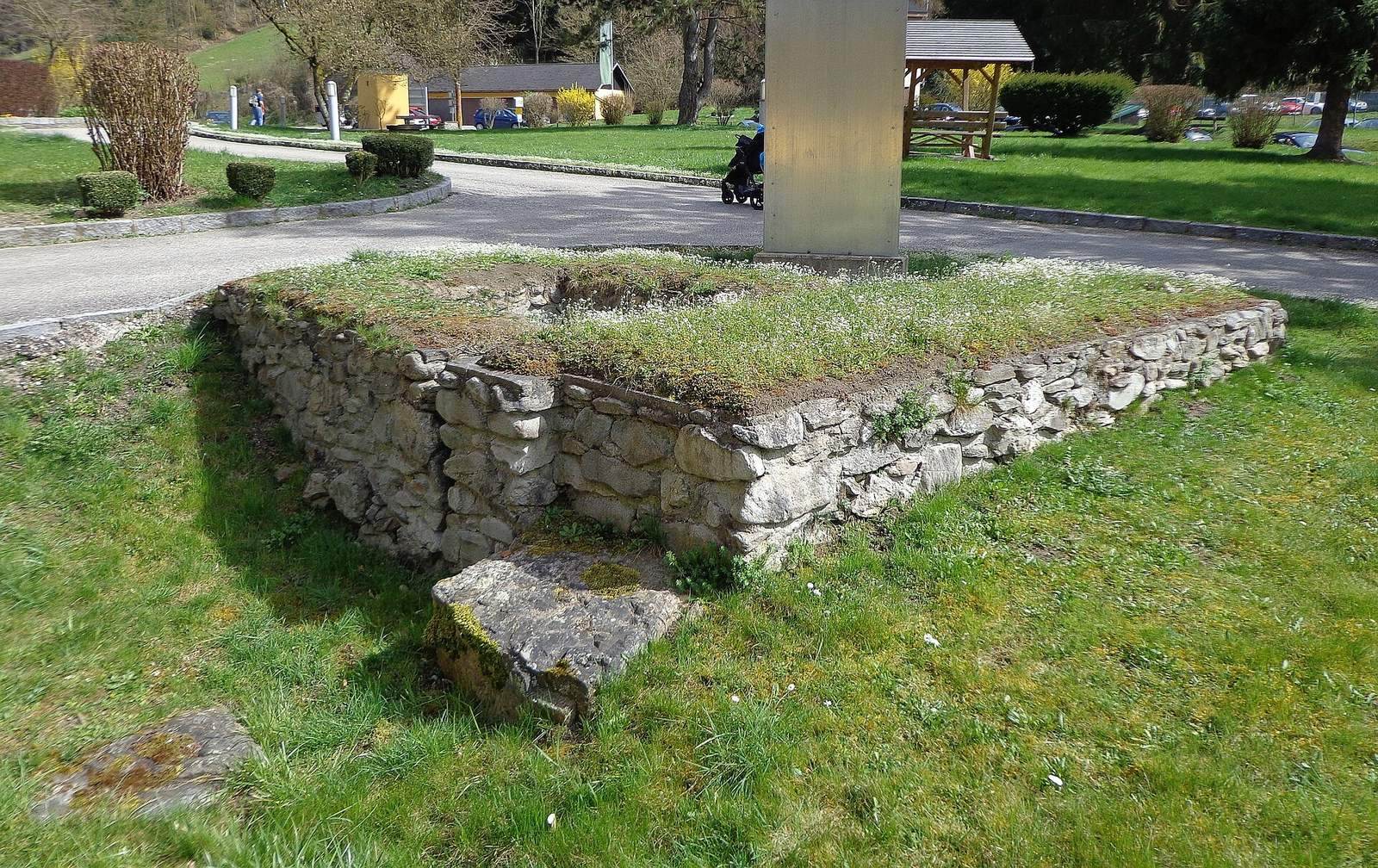
Excavations exposed wall sections to heights of up to 2.6 metres, but the fort is no longer visible above ground apart from the conserved west-gate foundations. The south wall suffered heavy damage from stone robbing and earlier excavation. Geophysical survey indicates that substantial sections of the walls remain buried.
West gate and nearby track
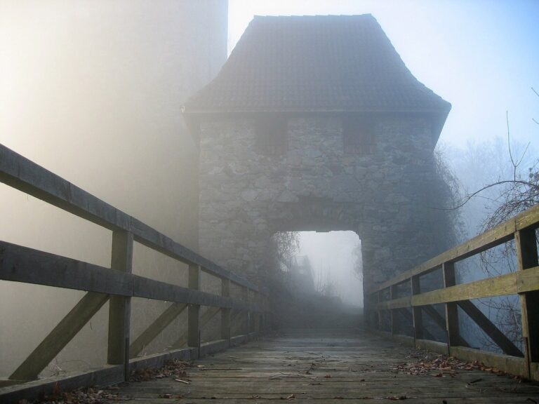
The excavated west gate had two towers, each about 3 by 3 metres, with walls about 0.90 metres thick and interior spaces roughly 1.20 by 1.20–1.30 metres. The towers stood against the curtain wall rather than being bonded into it, and were shifted about a metre south of the proposed position of the eastern gate’s counterpart. A paved passage, 3.30 metres wide, ran between the towers; its paving belonged to the later building phase. The towers may have served as guardrooms and given access to the wall walkway.
About 1.20 metres in front of the gate, excavators found a track roughly three metres wide, formed from three layers of coarse stone. It lay about 0.20 metres below the modern surface and probably belonged to the later fort phase. The west-gate foundations were restored in 1959 and again in 1972.
Road connections
A road ran south from the west gate alongside the fort’s western wall, meeting a route that probably crossed a bridge to the civilian settlement before joining the Danube-side frontier road from Haibach toward Passau. Another connection ran southeast from that frontier road through Freyental toward the Eferding basin. Within the fort, the decumanus, one of its principal roads, followed the line of the route from the present-day inn toward Hochgupf.
Buildings inside the fort
Headquarters building
The principia, the fort’s headquarters building, measured 22.37 by 18.32 metres. It stood about 23 metres from the north wall, 24 metres from the south wall, and 24 metres from the west gate. Its plan comprised three rooms on the west, a central hall, and two rooms on the east. The hall measured 17.70 by 5.75 metres, and one eastern room measured 13.25 by 9.70 metres. The building’s western exterior was masonry; its eastern part was probably timber framing with clay daub.
Most surviving foundations belonged to the later phase and were laid without mortar, though traces of mortar remained in upper sections. Fragments of coarse plaster indicate that some walls had plastered surfaces. In excavated areas, surviving walling reached 0.40–0.60 metres in one western room and 0.45 metres in another. The large room between two western rooms may have served as a sanctuary for the military standards, while the central hall may have been used for meetings. Finds associated with the building indicate that it was destroyed by fire.
Other internal buildings
A rectangular building north of the headquarters measured about 10.30 by 13.5 metres and stood roughly 4.10 metres away. Its walls were 0.75–1.20 metres thick. It belonged to the later phase and may have functioned as a workshop, granary, armoury, or equipment store for the garrison or possible patrol boats.
South of the headquarters, only slight foundations survived of a badly damaged building about 15 metres from the south wall. It may have had two or three rooms and possibly served as a residence in two phases, perhaps for the commander. Dry-stone foundations and sockets for timber posts point to a timber structure, which was destroyed by fire. Smaller building traces were also found near the west gate, the via principalis, another main road through the fort, and the inn.
Harbour and river installations
Quay beside the fort
Curving wall remains outside the fort’s north wall were interpreted as a quay from the later phase. They continued around the northwest corner toward the east bank of the Andlersbach. The landing area between the quay and the fort was paved. A stone for mooring a wooden post and remains of a timber-post building, possibly a signal mast or boathouse, support the harbour interpretation. The area has since been levelled and altered by the hydroelectric reservoir and construction of a sports-boat landing. The reservoir submerged the former harbour area and reduced the dangerous whirlpools that once made the bend hazardous for river traffic.
Other possible landing places
A stone course found in the civilian settlement in 1960 extended toward Hochgupf and may have formed another quay. In 1962, investigators uncovered an old embankment about 45 metres from the modern Danube bank, reinforced with large stone blocks. It may have been a canal leading to the as-yet-unlocated north gate, where boats could be hauled ashore for maintenance or repair.
Farther upstream, a possible patrol-boat berth lay in a dead side channel between the Danube and a gravel island, where part of an ancient riverside wall was found. The reservoir now covers this area. The island was probably once thickly covered with trees and shrubs, screening the possible harbour from view.
Civilian settlement and bath
Vicus
The settlement extended along the main western exit road from the fort toward the Andlersbach. It is estimated to have measured about 200 metres from west to east and 70–80 metres across. Excavations identified two building phases, including strip houses built from timber and wattle and daub. A 1984 excavation on Hochgupf recovered Neolithic scrapers, red-gloss Roman tableware known as terra sigillata, other pottery, and numerous fragments of hollow ceramic tubes. Geophysical survey in 2013 indicated that at least two settlement buildings remained well preserved.
Bath building
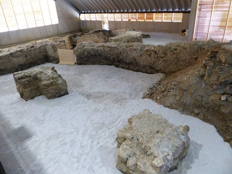
The bath was probably built between AD 130 and 150 and appears to have remained in use for about 300 years. Its long rectangular foundations measured about 14 by 6 metres. Three rooms stood in a row: a hot room, a warm room, and a cold room. Three apses, semicircular projections, formed part of the plan, one in the hot room and two in the cold room; the cold-room apses contained water basins. A furnace outside the building heated the hot room’s floor and walls and the warm room’s floor through a hypocaust, a system that circulated hot air beneath floors and through wall spaces.
The foundations were fully exposed in 2015 and were in exceptionally good condition. A protective shelter was built over them in 2018. A wall found fallen over during work in the settlement was identified as part of this bath complex, which the Schlögen Excavation Association had first exposed in 1838.
Excavated finds
Objects recovered from the fort included glass and ceramic vessels, bricks, pottery, dress fittings, other metal objects, tools, and military equipment. Eight coins ranged in date from the Trajanic period to late antiquity. Military finds included a fragment of chain mail and a spearhead from the headquarters building. These objects are held at the Upper Austrian State Museum in Linz.