Cerro de los Almadenes: A Roman Copper-Mining and Metalworking Site in Spain
Site at a Glance
- Popularity
- Low
- Country
- Spain
- Primary era
- Classical
- Eras represented
- Classical
- Civilizations
- Roman, Visigothic
- Site type
- Economic
- Remains
- Production Complex
On this page12 sections
History
Cerro de los Almadenes is a Roman copper-mining and metalworking site near Otero de Herreros in Segovia, Spain. Its Roman activity is associated with the High Imperial period, the earlier centuries of the Roman Empire. Archaeologist Claude Domergue identified it as the only copper-production site in the Northern Meseta of the central Iberian Peninsula during that period.
Archaeological investigations have raised the possibility of occupation before Roman rule. In 1891, geologist Cortázar y Larrubia linked mining at Otero de Herreros to the Romans, citing Roman coins and pottery. Copper was the principal metal processed at the site.
Historical Accounts and Archaeological Research
An eighteenth-century drawing of Otero de Herreros by mapmaker Josef Aparicio Calatrava drew attention to the slag heaps. In the late nineteenth century, historian Carlos de Lecea y García described the mining landscape, and Cortázar y Larrubia discussed its Roman attribution. In the early twentieth century, Joaquín Alió wrote about copper-mining potential between Otero de Herreros and El Espinar, placing its center at Otero. Engineer and geographer José Galbis y Rodríguez also documented the area; images associated with Alió and Galbis are the oldest known depictions of the heaps.
Mining engineer Enrique Lacasa described the Felipa mine and ancient slag heaps in 1922. During the second half of the twentieth century, almost all the heaps were reused at a crushing plant for construction of the road to Segovia. Domergue later located Cerro de los Almadenes on a map of the Iberian Peninsula and assessed its place within Roman copper production.
Research by the Spanish Society for the History of Archaeology began in 2009. Excavations in Sector I ran from 2010 to 2013, while work in Sector II continued from 2012 through the 2016 campaign. A geophysical survey after the 2010 and 2011 campaigns mapped the possible positions, plans, and depths of buried structures. Excavations on the southeastern slope took place in 2012 and 2013.
On 9 June 2022, the government of Castile and León declared Cerro de los Almadenes an Asset of Cultural Interest, Spain’s formal heritage-protection designation, in the category of archaeological zone.
Remains
The archaeological landscape occupies a granite dome in the foothills of the Sierra del Quintanar, within the Presierra de Guadarrama. The dome contains skarn, a rock formed where intrusive rock meets other rock, and copper veins emerge alongside smaller amounts of other minerals. The hill lies between two streams: the Escoria to the north, whose channel is now dry, and the Quejigal to the south, which carries a slight flow after winter. Open grazing land and small holm oaks cover the hill, while Portuguese oaks grow beside the streams. Mining and metalworking, together with natural processes, have shaped the surrounding ground.
Mining Landscape
Slag Heaps
The ancient smelting heaps once occupied an area of nearly 10,000 m2, about 65 by 150 m, near the road to Valdeprados and around the Felipa mine. The area was bounded by the Escoria stream, named for the heaps. Lecea estimated a large heap at no less than 180 to 200 m3; Lacasa estimated the slag from ancient smelting at about 50,000 m3. Most of the heaps have since disappeared.
Mines and Water Channels
Mining traces across the landscape extend from antiquity to the early twentieth century. They include mine entrances, spoil heaps, and channels that carried water for mining and ore processing.
Excavated Industrial Structures
Sector I Furnaces
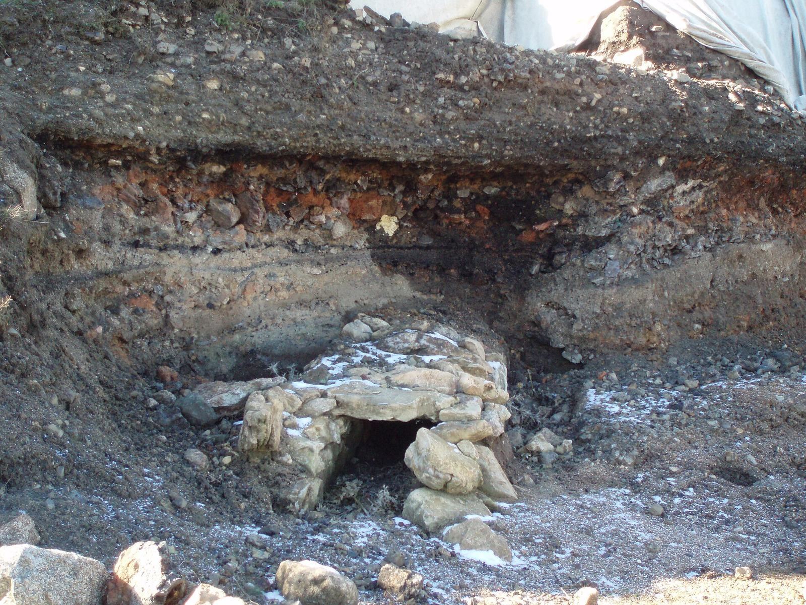
Sector I, on the northern slope, was excavated across four squares forming a front 16 m wide. Its ruined, fragmented furnaces include roasting furnaces, which heat ore; reduction furnaces, which extract metal from ore; and reverberatory furnaces, which heat material with flame and reflected heat. These installations had been taken out of use during the Roman period after only a few uses. A water conduit carried water from the hill to the exterior.
Sector II Metalworking Facility
Sector II lies on a gentle slope at about 1,100 m above sea level, on a platform approximately 30 m south of and immediately above Sector I. The remains include a building about 30 m on each side, interpreted as a metalworking facility. Water conduits and drainage channels, a charcoal installation, and a battery of furnaces form part of the complex. The furnaces are attributed to a late antique or Visigothic phase, the era of Visigothic rule in Iberia during late antiquity.
Terraces and Wine Cellar
Western Slope Terraces
Artificial terraces on the western slope have been considered a possible habitation area. Finds there included fragments of Italic terra sigillata, fine Roman tableware typically recognized by its red surface coating.
Southeastern Wine Cellar
On the southeastern slope, remains of limestone blocks came to light after skarn extraction. Excavation revealed two rooms interpreted as a Roman wine cellar. A limestone-masonry wall divided the rooms, which were connected by two limestone steps. The wall had a gypsum-plaster coating with traces of colored fresco painting.