Sakafuneishi Site: An Ancient Stone Monument and Water Installation
Site at a Glance
- Popularity
- Very High
- Country
- Japan
- Primary era
- Medieval
- Eras represented
- Medieval
- Civilizations
- Yamato
- Site type
- Religious
- Remains
- Sanctuary
On this page12 sections
History
The Sakafuneishi Site is an archaeological complex in Oka, Asuka, Japan, centered on a carved stone monument and a water installation thought to date to the seventh-century reign of Empress Saimei. The water facility appears to have remained in use for about 250 years, and its remains are interpreted as evidence of imperial ritual, though the nature of the rites is uncertain.
Imperial-period use
The water installation is thought to have been built during Saimei’s reign. Saimei was the same ruler who had earlier reigned as Empress Kogyoku. Use continued under the later seventh-century emperors Tenmu and Jito and into the Heian period, which followed those reigns.
One interpretation connects construction of the complex with Saimei’s religious deliberations before a campaign to support Baekje, an ancient kingdom on the Korean Peninsula. In 642, while reigning as Kogyoku, she prayed for rain upstream of a river, kneeling and bowing four times. A later theory proposes that the complex may have been a place where she sought divine guidance.
Palace theories and the chronicle
The Nihon Shoki, an early Japanese chronicle, describes a palace built on a ridge. One theory identifies the complex as part of that palace or its entrance, but archaeological interpretations reject this identification. The ridge’s name in the chronicle and its precise location are uncertain.
The chronicle also describes a stone wall built on an eastern mountain. Whether this account refers to the wall at the site has been disputed, and current archaeological interpretation favors another location. The wall’s collapse and removal of stones for reuse, along with the limited evidence for repair beyond work on the western slope, are difficult to reconcile with the chronicle’s account of a later imperial visit and palace repairs.
Another passage tells of stones carried by boat and piled up to create a stone hill that repeatedly collapsed. The site’s collapsed and repaired stone alignments have been linked to this story. An earthquake during Tenmu’s reign has been proposed as a possible cause of the collapse.
Later history and modern recognition
During the Edo period, the Sakafuneishi appears to have been targeted for stone to build Takatori Castle. Two other water-channelled stones, found about 400 metres away in 1916 and sometimes called the Izumi Sakafuneishi, are not part of this site. They are privately owned and kept in a Kyoto garden; the Asuka Historical Museum holds a replica.
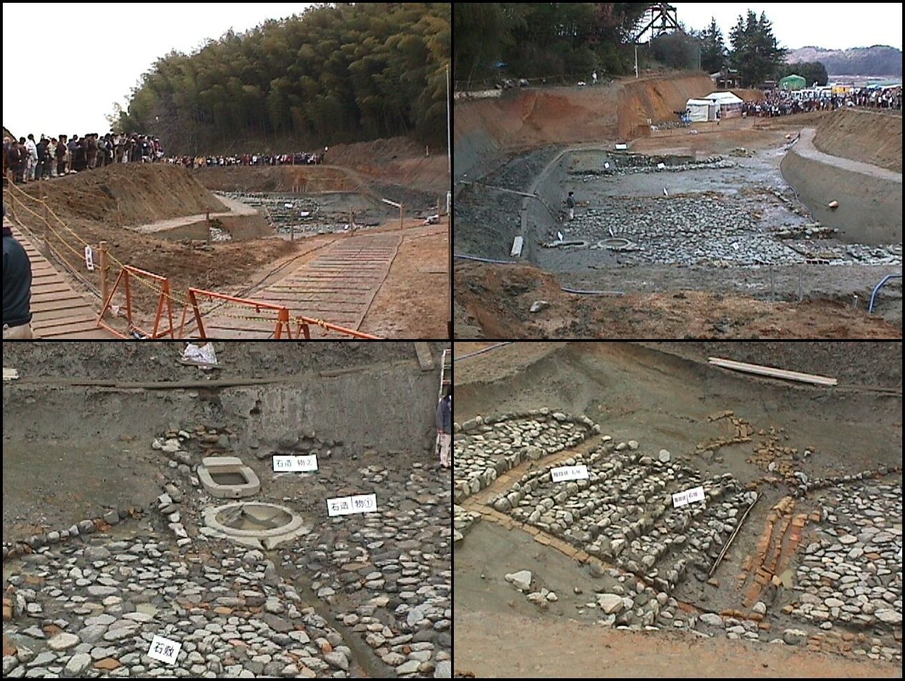
The Sakafuneishi was designated a National Historic Site on April 8, 1927. A stone wall on the slope to its north was discovered in 1992, and large-scale excavations in 2000 revealed the water installation and additional remains. The Asuka Village Board of Education extended the site name to include the previously known Sakafuneishi, the turtle-shaped and oval-shaped basins, and surrounding remains. Researchers have questioned whether the monument and basins are related, and therefore whether they belong under one combined name. In 2026, the site was inscribed on the World Heritage List as part of the ancient capitals of Asuka and Fujiwara.
Remains
The remains include a carved granite monument on a low, artificially shaped hill and a water installation to its north. The complex also contains sandstone structures, compacted-earth construction, paved ground, and stone alignments.
Stone monument and shaped ground
The Sakafuneishi
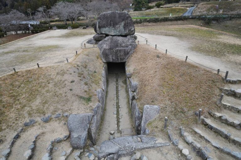
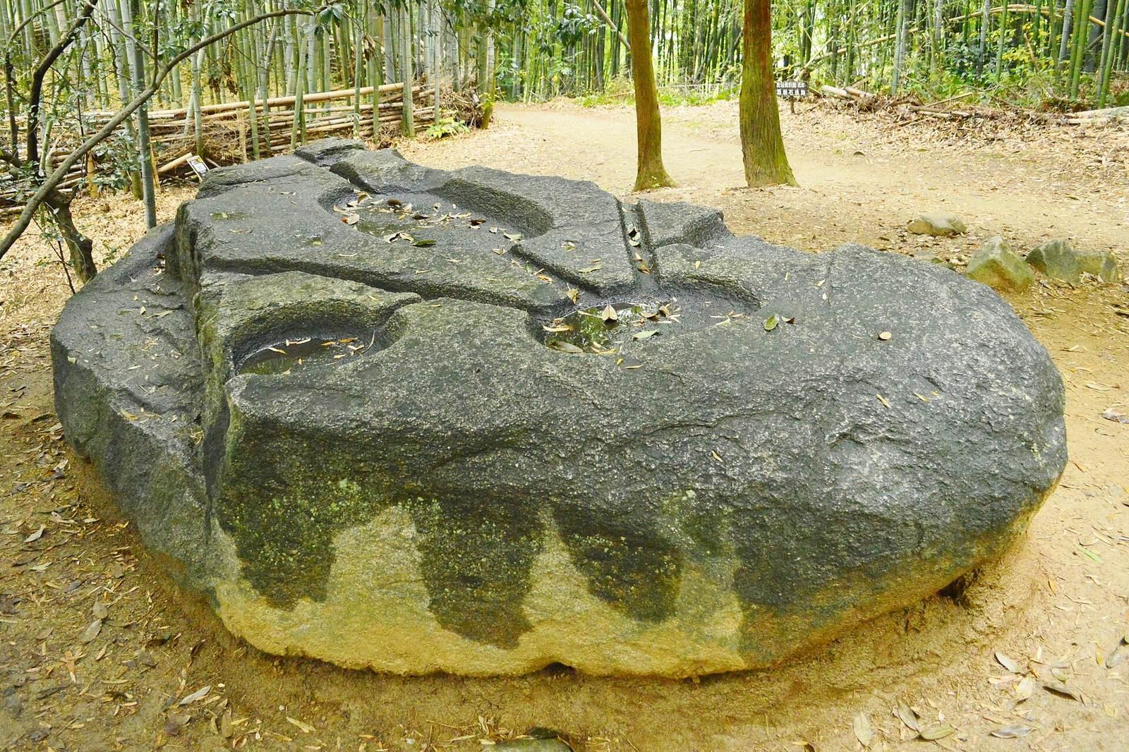
The Sakafuneishi is a granite block about 5.5 metres long, 2.3 metres wide from north to south, and 1 metre thick. Its long axis runs roughly east to west, and parts of its northern and southern edges are missing. Six round or oval hollows, each about 10 centimetres deep, are cut into its upper face and joined by grooves. The central hollow is elongated, measuring 1.35 metres by 70 centimetres. A groove along the block’s main axis is about 10 centimetres wide and 3 centimetres deep, with a U-shaped cross-section.
Its purpose remains uncertain. Suggested uses include making sake or medicines, serving as a garden feature, or controlling the flow of liquid. A stone object found about 10 metres to the south in 1935 and thought possibly to have served as a conduit has supported the garden-feature interpretation. The monument bears chisel marks from attempted stone-splitting, and part of its carved upper surface is missing.
Shaped hill and stone alignments
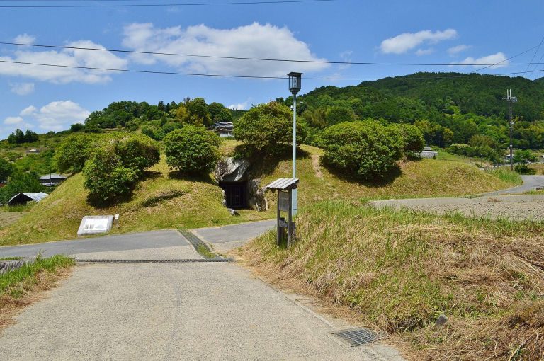
The hill supporting the Sakafuneishi was constructed and shaped rather than left in its natural form. Its building material includes rammed earth, soil compacted in successive layers, and cut sandstone. This construction has been traced for as much as 700 metres. Sections visible from the northern area were polished, creating a finished surface framed by reddish sandstone.
On the western slope, three rows of quartz-diorite stones, a coarse-grained igneous rock, lie below a sandstone wall. Some sections have collapsed and been repaired. A stepped passageway also survives between the Sakafuneishi and the area to its south; whether it connected the monument ritually with the northern water installation is uncertain.
Water installation
Sandstone intake tower
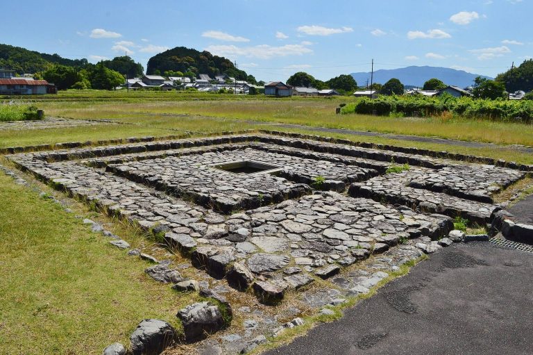
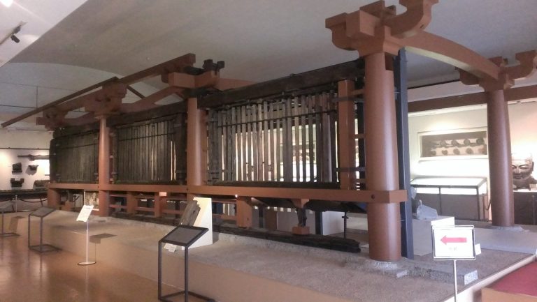
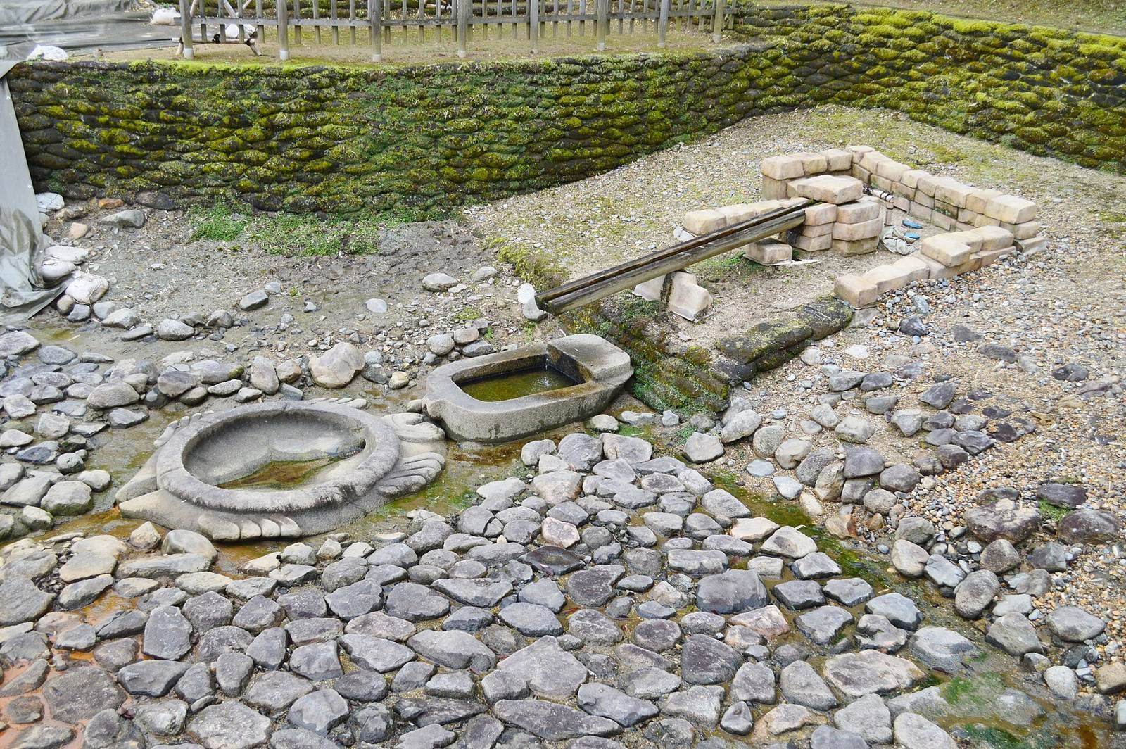
North of the Sakafuneishi, a hollow, square tower formed the water intake. It is built from 11 layers of cut sandstone and has a recessed opening high on its northern side. Sandstone walls surround the tower. Sandstone and clay sealed its base, so water could rise inside and flow out through the opening. The tower began with five layers and was later raised to ten.
Stone basins
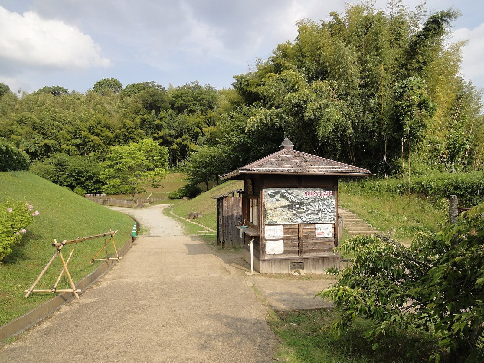
The granite basin shaped like a turtle measures about 2.4 metres long and 2 metres wide. Its head, tail, and legs are carved, while its shell forms a hollow basin about 1.25 metres across and 20 centimetres deep. Water appears to have entered through a hole in the head and drained through one in the tail; the tail opening could be plugged to retain water.
Whether the carved animal is a turtle or a softshell turtle remains debated. Some interpretations point to the form of its feet and shell, while others draw on conventions in which turtles carry objects on their backs or read the surrounding mountains as what the animal bears. Ancient usage did not always distinguish turtles from softshell turtles.
The oval basin measures 1.65 metres long, 1 metre wide, and 20 centimetres deep. It could hold water, and its outlet joins the opening in the turtle-shaped basin’s head. Both basins were moved to their present height and position during a later phase of the water installation.
Paved enclosure
The water installation and basins occupy a paved area about 12 metres square. A high ridge encloses it to the southwest, with reddish sandstone walls facing the slope. From within the paved area, the view was limited to the sky, and the enclosed space was considered too small for a large banquet.