Qasr Usaykhim: A Probable Roman Frontier Fortlet in Jordan
Site at a Glance
- Country
- Jordan
- Primary era
- Classical
- Eras represented
- Classical
- Civilizations
- Roman
- Site type
- Military
- Remains
- Fort
On this page10 sections
History
Qasr Usaykhim is a probable Roman fortlet, a small fortified military post, on Tell Aseikhin, a hill in Jordan. It lay near the eastern edge of the Limes Arabicus, Rome’s frontier system in Arabia. The term describes a zone or line of military control, not necessarily a continuous wall. Along with Qasr al-Azraq and Qasr el-Uweinid, Qasr Usaykhim formed part of a frontier network associated with the Wadi Sirhan, a 325-kilometre valley corridor used for migration between Syria and the interior of the Arabian Peninsula.
The broader military system along the Wadi Sirhan operated from Rome’s takeover of the Nabataean kingdom in AD 106 until the end of antiquity. Roman forces used posts along migration routes to monitor tribal movement, and soldiers also patrolled on horseback. These wider practices help explain the frontier setting, but the fortlet’s own phases of use remain uncertain.
Possible early phases
Prehistoric activity took place on and around the hill. A possible later beginning is a first-century AD Nabataean farmstead with defensive features. David L. Kennedy proposed this interpretation, noting both regional Nabataean activity and the potential for limited cultivation on the slopes and in Wadi Aseikhin. The Nabataeans were an ancient Arab people whose kingdom extended across the southern Levant and northwestern Arabia, but a Nabataean origin for the fortlet has not been established.
A Roman military post may have followed in the third century or early fourth century. Such military use could not have begun before AD 106, when Rome annexed the Nabataean kingdom. Inscriptions from Al-Jawf, ancient Dumata, show that Nabataeans served at Roman outposts less than ten years after the takeover; Nabataean soldiers may also have manned posts in this frontier system.
Later occupation
The fortlet has not been excavated, so its sequence of occupation is reconstructed chiefly from surface pottery. The dated material spans the first century to the early fourth century AD, followed by a gap and then finds from the middle of the sixth through the seventh century. Kennedy considered use as late as the end of the sixth century possible. Later civilian activity may also have taken place.
Early investigations and surveys
Gertrude Bell made the earliest recorded scientific visit on 31 December 1913. Aurel Stein visited in 1939, described the ruins, and drew their first plan, which is now lost. Nelson Glueck published the first photograph of the remains in 1973. Samuel Thomas Parker’s 1976 survey examined the Jordanian frontier to investigate the development of Roman defenses. David L. Kennedy surveyed the fortlet in 1978 and published a new plan in 1982. He later compared its pottery with finds from Qasr el-Uweinid and Qasr al-Azraq, and his aerial-photography project recorded the site repeatedly.
Remains
Hilltop setting
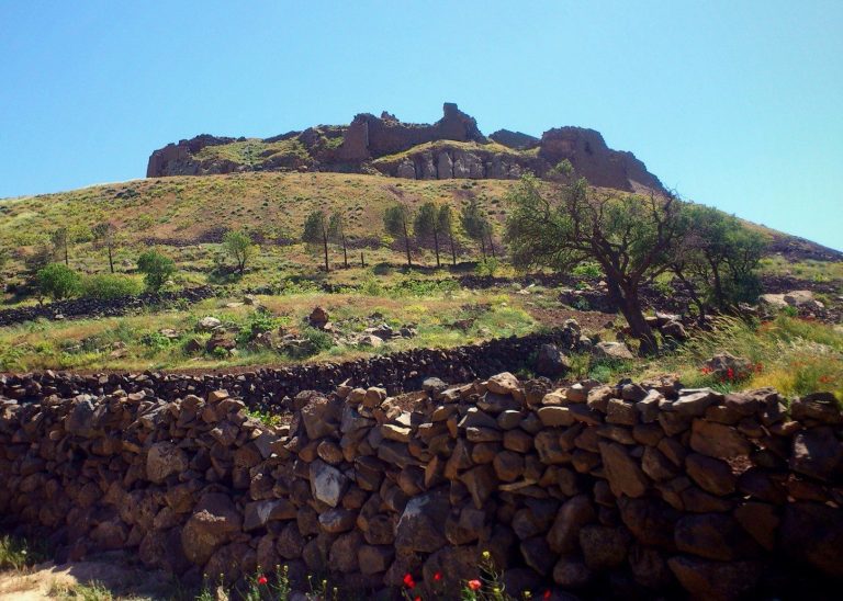
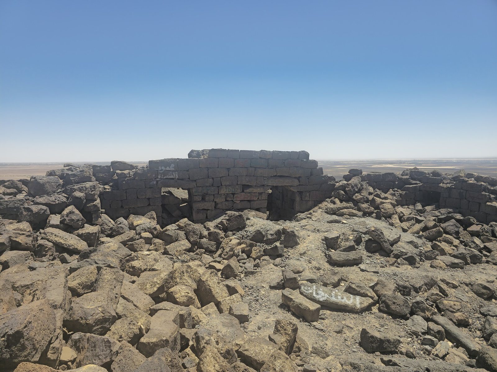
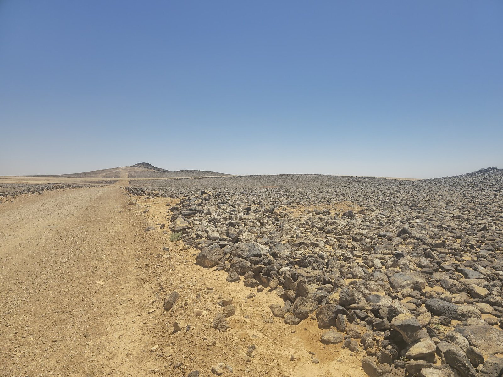
The ruins stand 624 metres above sea level on the crest of a steep limestone hill, the highest point of the short Aseikhin range. Volcanic activity formed its basalt summit. The hill lies at the southern edge of extensive basalt flows extending from Jebel ed-Druze through the southern Hauran; solidified lava surrounds it and reaches about 70 metres down its slopes. The site is in Jordan’s Zarqa Governorate, about 13.5 kilometres northeast of Qasr al-Azraq and 18 kilometres northeast of Azraq town, east of Amman.
Wadi Aseikhin winds from north to south below the hill. From the summit, the terrain opens southwest across the valley toward basalt and gravel fields in the direction of Al-Azraq, and north over gently rising ground toward Deir el-Kahf. The hill is visible for many kilometres and the fortlet overlooks the valley and surrounding desert plains.
Plan and construction
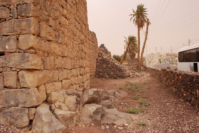
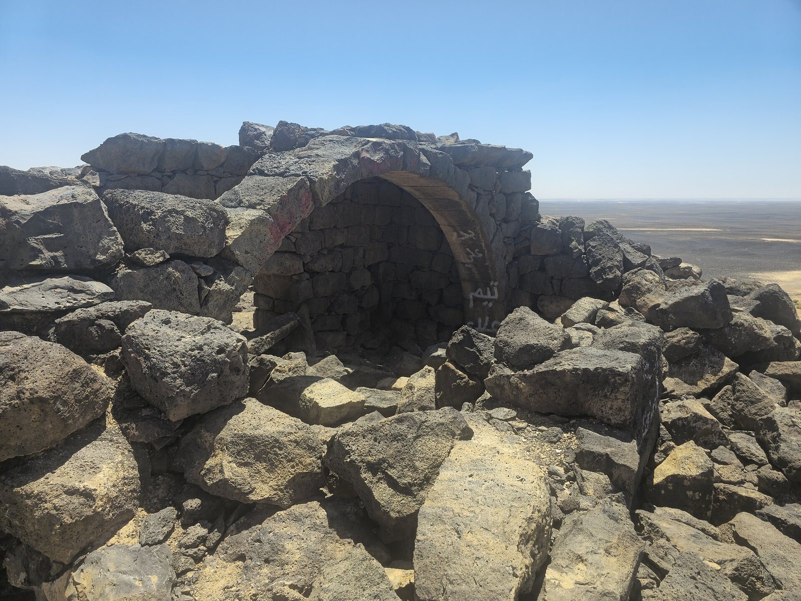
The visible basalt building has a square plan about 23 metres on each side, covering approximately 0.05 hectares. A rectangular central courtyard is enclosed on all four sides by ranges of rooms roofed with masonry arches. The rooms’ rear walls meet the perimeter wall, and entrances are described on the south and west sides. Both the inner and outer walls are about one metre thick. Each has two faces of carefully dressed basalt blocks, with rubble packed between them; few joints are visible and little mortar was used.
Archaeological material
Flint, quarry, and lamp fragment
Field surveys collected flint pieces around the site, among the traces of early activity on the hill and nearby. A small quarry on the hill has diagonal chisel marks considered characteristic of Nabataean stoneworking. Stein also found part of a Roman lamp decorated in relief; the fragment is now lost.
Pottery
Parker collected 383 pottery sherds in 1976 and examined 37 more closely. He assigned some early pieces to the first century, and a fine Roman pottery sherd collected in 1978 may also belong to that period. Kennedy compared eight pieces of late Roman coarse pottery using thin-section analysis, which examines a very thin slice under a microscope. The results suggested local production, but the small, unrepresentative sample cannot support a wider conclusion.