Stones of Stenness: A Neolithic Henge and Stone Circle in Orkney
Site at a Glance
- Country
- United Kingdom
- Primary era
- Stone Age
- Eras represented
- Stone Age, Bronze Age
- Civilizations
- Unclassified
- Site type
- Religious
- Remains
- Sanctuary
On this page13 sections
History
Stones of Stenness is a Neolithic (later Stone Age) henge, a prehistoric enclosure with an internal ditch and outer bank, and a stone circle near Stromness on Orkney, Scotland, United Kingdom. Prehistoric communities built it at the beginning of the third millennium BCE. Work may have started around 3100 BCE, while material from the deepest part of the ditch dates to about 3050 BCE. The circle was probably erected first, leaving room to move and position its stones. It may be among the earliest known henges in Britain.
Construction and early use
Building the monument is estimated to have required about 50,000 person-days, with the henge accounting for most of the work. The estimate draws on experiments and the 1906 re-erection of a stone by eight people using a wooden structure.
A wooden post stood at the centre before a stone hearth was built there. Charcoal from the hearth dates to about 2900 BCE. Five pits south of it contained charcoal dated between 669 and 469 BCE, which may point to continued use into the Iron Age, a period associated with the widespread use of iron.
The monument’s purpose is uncertain. It may have signalled wealth and power in the area, and the central hearth may have carried symbolic meaning. Animal bones from the ditch may reflect feasting connected with ceremonies.
Local traditions and nineteenth-century damage
By the eighteenth century, local traditions linked the stones with Norse gods, deities of pre-Christian Scandinavia, and ritual practices. The circle was also called the Temple of the Moon, a name that may reflect romantic ideas about the past. It appears in writing by 1716 and remained in local use in 1841. The name Temple of the Sun referred to the Ring of Brodgar instead.
The Odin Stone, north of the henge, featured in local ceremonies. Tradition held that couples pledged engagements by clasping hands through its circular opening. People also made other promises in a practice known as the Vow of Odin, and the stone was believed to have magical power.
Antiquarians described the circle’s stones differently over time. Richard Pococke noted four standing stones and a flat slab in 1760. Joseph Banks recorded four standing stones and three smaller stones near the centre in 1772. In 1805, Barry described four upright stones, a stump, and a broad slab toward the centre. Other descriptions identify stones 2 and 3 as standing, stone 5 as fallen, and a stump at stone 8; some do not mention stone 6.
Novelist Walter Scott visited on 16 August 1814 and speculated that a broad slab near the centre had served as an altar for human sacrifice. He used this idea in his 1821 novel The Pirate. In December 1814, landowner Captain W. Mackay began removing stones because he objected to trespassing and ceremonies on his property. He destroyed the Odin Stone, pulled down stones 5 and 6, and broke stone 6. The attacks stopped before further stones were removed.
State care and modern interpretation
Stones of Stenness, the Ring of Brodgar, and Maeshowe came into state care in April 1906. Stone 5 was re-erected that year. Stone 7 was found and raised in 1907, when it was fixed in concrete. Also in 1907, Orkney antiquarian James Cursiter placed a flat slab on two smaller upright stones, interpreting the arrangement as a prehistoric tomb. A state archaeological inventory rejected that reconstruction in 1946, and the slab was moved off the uprights in 1972.
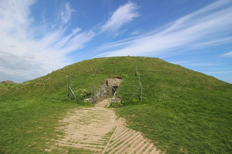
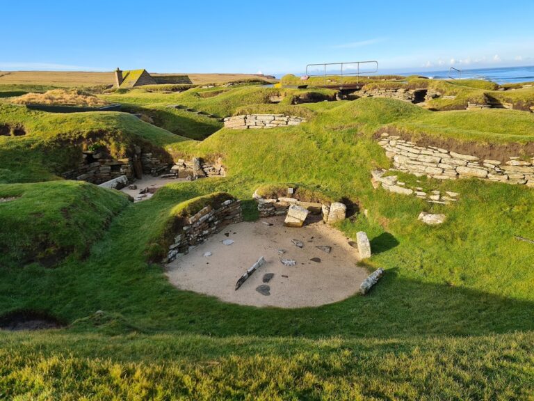
The monument forms part of the Heart of Neolithic Orkney, added to the UNESCO World Heritage List in 1999 under criteria i to iv. The property’s stated value includes its early expression of ritual customs among people who buried their dead in tombs such as Maeshowe and lived in settlements such as Skara Brae. Stones of Stenness is also a scheduled monument, a site legally protected for archaeological or historic importance, and is cared for by Historic Environment Scotland.
Remains
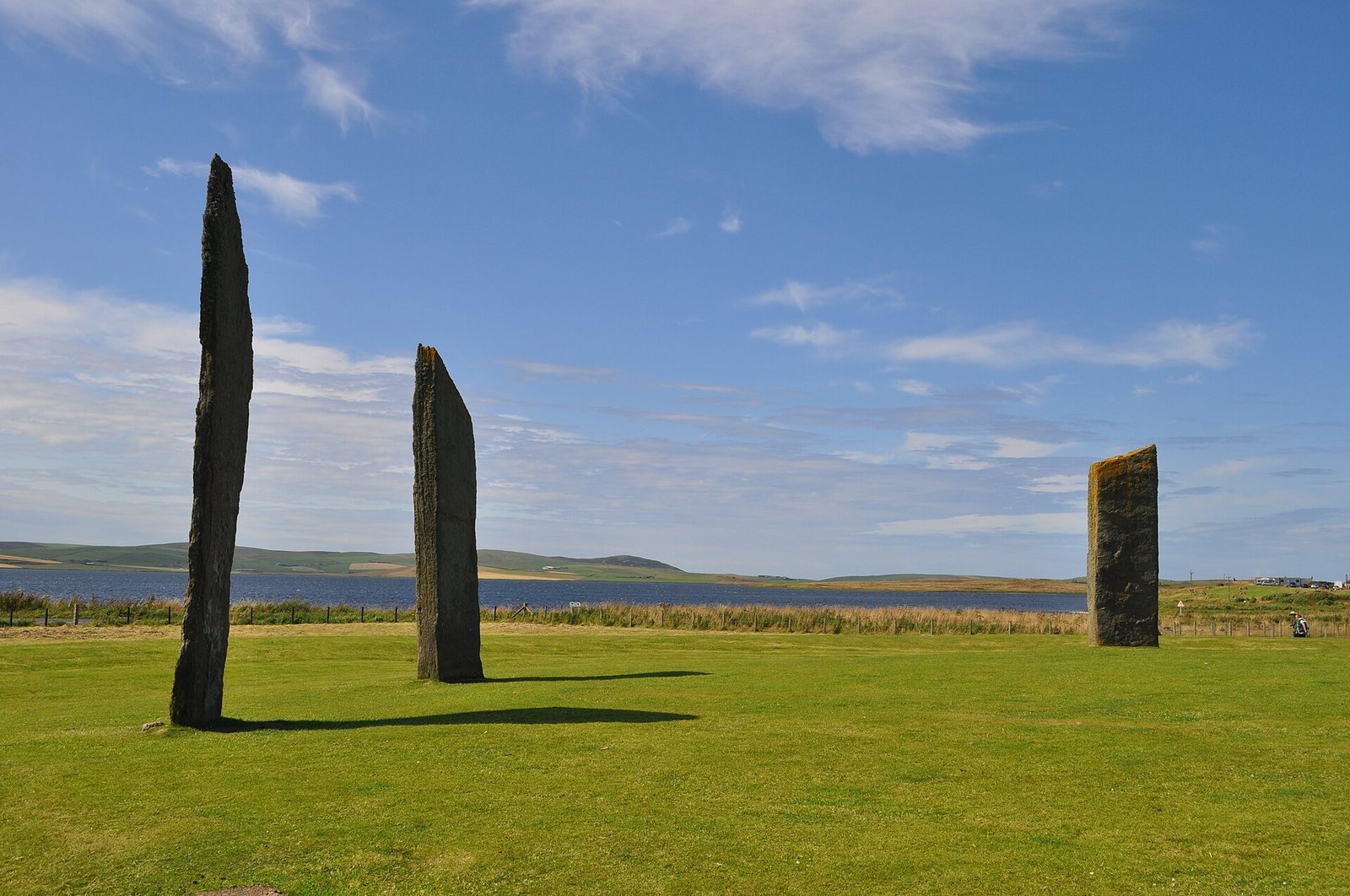
The monument occupies a promontory on the southeastern shore of the Loch of Stenness, beside the stream that joins the southern ends of the Loch of Stenness and the freshwater Loch of Harray. Its central circle stands on a levelled platform and is enclosed by a ditch and an outer bank. The Ring of Brodgar lies about 1.2 km to the northwest across the stream, while Maeshowe is about 1.2 km to the east. The Barnhouse settlement is northeast by the Loch of Harray, in the direction faced by the circle’s entrance. The Ansten tomb lies about 3 km west, and Skara Brae about 10 km northwest.
Circle and earthwork
Stone circle
The circle measures about 30 to 32 m across, on a platform about 44 m in diameter. Proposed plans include an ellipse measuring 32.3 by 29.9 m and a near-circle 31.7 m in diameter. The layout may have allowed for 12 stones, although an arrangement of 11 is also possible. The possible position of a twelfth stone is southeast, aligned with the midsummer sunrise. Stones are numbered clockwise from the southernmost position, with the northern entrance between stones 7 and 8.
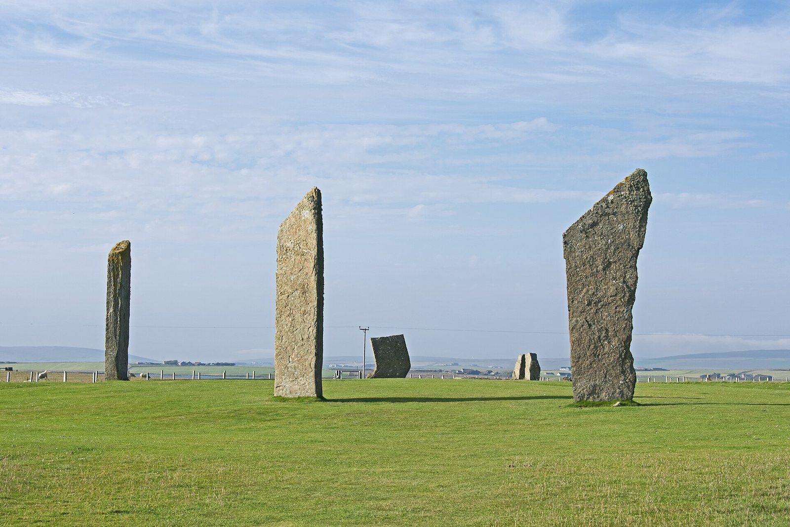
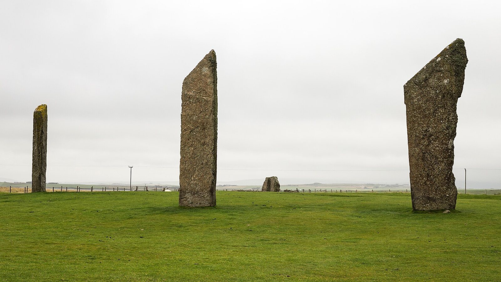
Four stones stand, reaching about 5 m high; stumps or ground holes mark seven other positions. The slabs are about 30 cm thick, with sharply angled tops. Builders set them in pits roughly 1 m deep and braced them with smaller stones.
Earthwork and entrance
A ditch and outer bank once surrounded the circle. The ditch was at least 7 m wide and 2 m deep, with its lower part cut into bedrock. The bank probably stood about 1.8 m high. Ploughing removed it, but a clay strip about 6.5 m wide marks its former position. Remains of water plants with leaves that grew above the water surface suggest the ditch may have held water soon after construction.
The henge had one broad entrance on its north side, formed as a causeway and facing toward Barnhouse. A separate crossing between the lochs, now bridged, was once made with stepping stones.
Central and surrounding features
Hearth and wooden structure
At the centre, four flat stones form a rectangular, nearly square setting about 2 m² in area, resembling a domestic hearth. Between it and the northern entrance, two holes indicate that a pair of standing stones once stood there. Just north of the holes and entrance, a wooden structure about 2 m long was dated to around 2150 BCE. Its east and west sides aligned with the positions of the possible standing stones.
Entrance stones
Two upright stones and a flat, recumbent slab stand near the entrance. Archaeologist and stone-circle writer Aubrey Burl interpreted them as two parallel uprights, one to the north and one to the south, separated by a narrow gap, with the third stone behind them like the back of an alcove. The slab was placed on the uprights during the early twentieth-century tomb reconstruction and later moved from that position.
Outlying stones
The Watch Stone stands about 170 m north-northwest of the circle and is approximately 5.6 m high. The Barnhouse Stone lies about 700 m to the southeast.
Finds
Bones from cattle, sheep, wolves, and dogs came from the henge ditch, along with two bones identified as coming from human hands and fragments of Grooved Ware, a prehistoric pottery type decorated with incised grooves. The central setting contained cremated bone, charcoal, and pottery sherds. Iron Age sherds were found during re-erection work. Pottery from the site has been compared with material from Skara Brae and Maeshowe, and from sites in Orkney, Shetland, and Caithness, including the brochs at Midhowe and Mousa. Brochs are prehistoric Scottish drystone towers generally associated with the Iron Age.